Location: 39°42´7'' N, 44°17'50'' E
Elevation: 5.137 m
Ararat
Panoramen
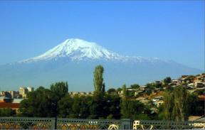
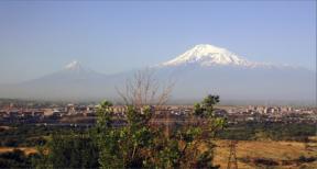
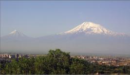
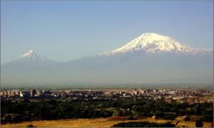


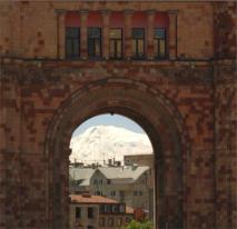

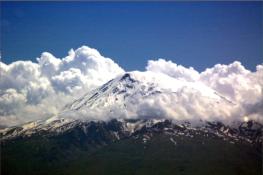
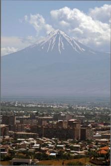
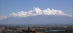
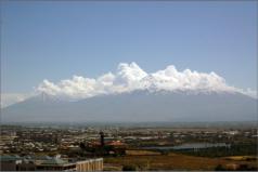

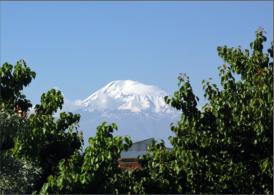
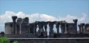 Photo Gallery
Ararat Summit from Place of Republic Yeveran Armenia
The 5165-m-high, double-peaked stratovolcano Mount Ararat, also known as Agri Dagi, is Turkey's highest,
largest volume, and easternmost volcano. Glacier-clad Ararat, along with its twin volcano, 3925-m-high
Kucuk Ararat, covers an area of 1000 sq km at the eastern end of a SSW-ESE line of volcanoes extending
from Nemrut Dagi. Construction of the Greater and Lesser Ararat volcanoes was followed by a period of
extensive flank eruptions. The initial stage of flank eruptions produced a cluster of cinder cones and dacitic-
rhyolitic lava domes surrounding Greater Ararat and a series of pyroclastic cones and domes on the western
flank of Lesser Ararat. Late-stage activity formed large pyroclastic cones lower on the flanks of the two
volcanoes. Ararat appears to have been active during the 3rd millennium BC; pyroclastic-flow deposits
overlie early Bronze Age artifacts and human remains. Karakhanian et al. (2002) reported historical evidence
for a phreatic eruption and pyroclastic flow at the time of a July 1840 earthquake and landslide. ( Global
Volcanism Program)
Photo Gallery
Ararat Summit from Place of Republic Yeveran Armenia
The 5165-m-high, double-peaked stratovolcano Mount Ararat, also known as Agri Dagi, is Turkey's highest,
largest volume, and easternmost volcano. Glacier-clad Ararat, along with its twin volcano, 3925-m-high
Kucuk Ararat, covers an area of 1000 sq km at the eastern end of a SSW-ESE line of volcanoes extending
from Nemrut Dagi. Construction of the Greater and Lesser Ararat volcanoes was followed by a period of
extensive flank eruptions. The initial stage of flank eruptions produced a cluster of cinder cones and dacitic-
rhyolitic lava domes surrounding Greater Ararat and a series of pyroclastic cones and domes on the western
flank of Lesser Ararat. Late-stage activity formed large pyroclastic cones lower on the flanks of the two
volcanoes. Ararat appears to have been active during the 3rd millennium BC; pyroclastic-flow deposits
overlie early Bronze Age artifacts and human remains. Karakhanian et al. (2002) reported historical evidence
for a phreatic eruption and pyroclastic flow at the time of a July 1840 earthquake and landslide. ( Global
Volcanism Program)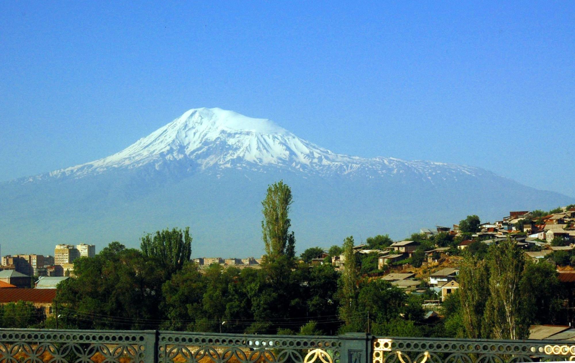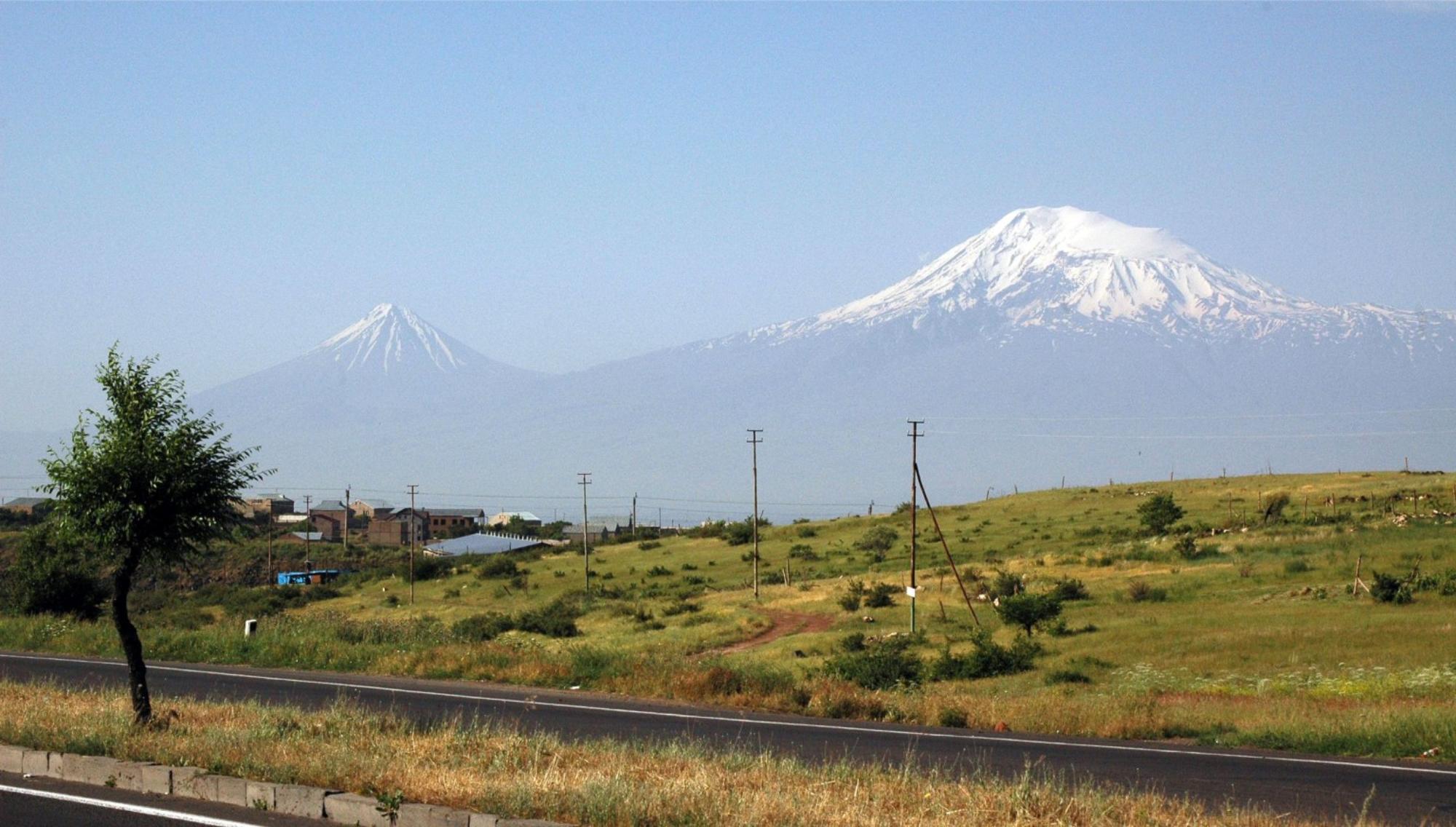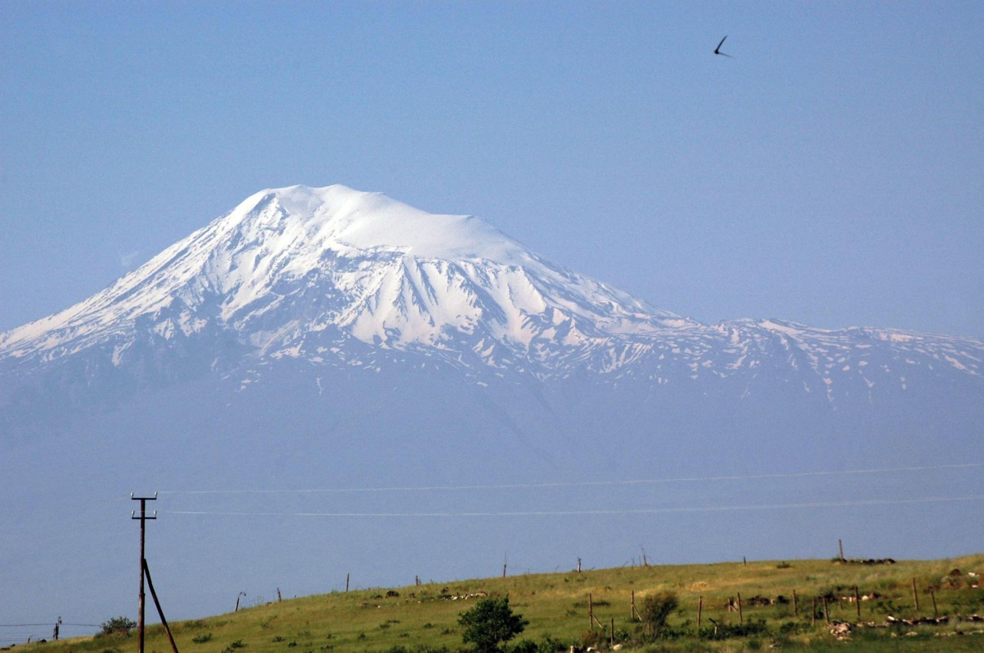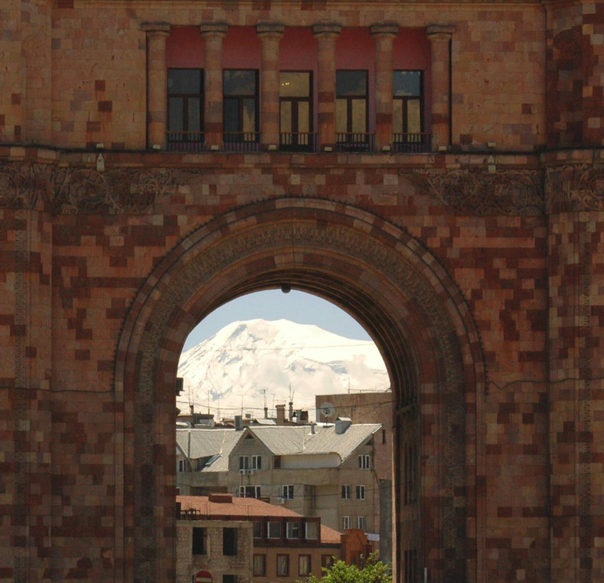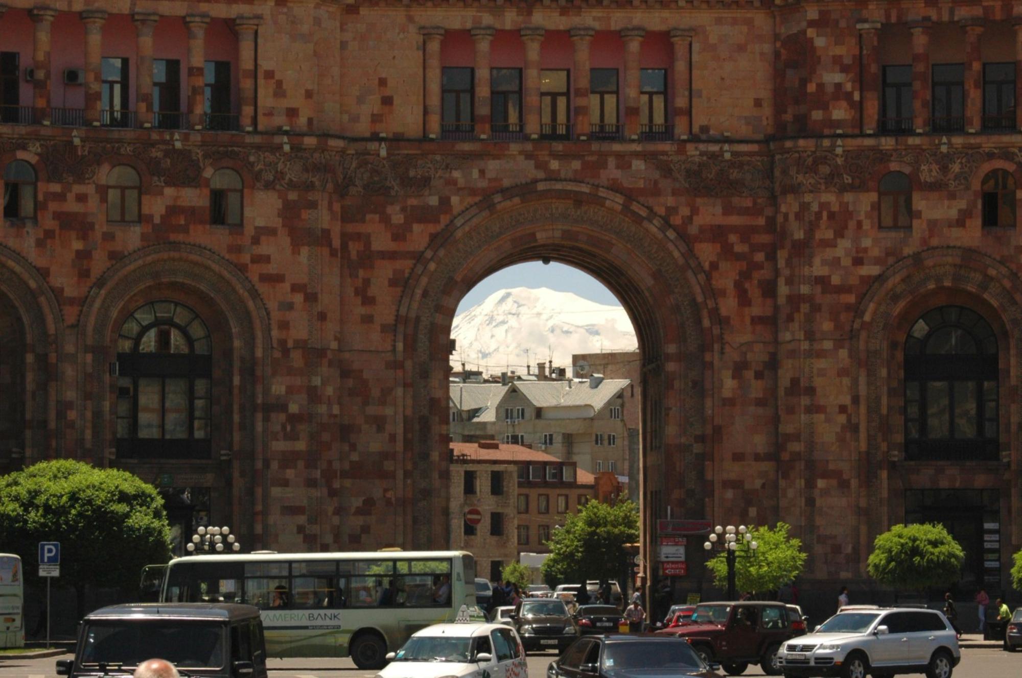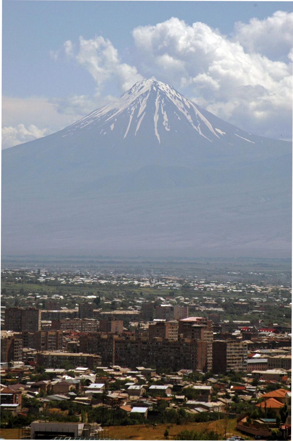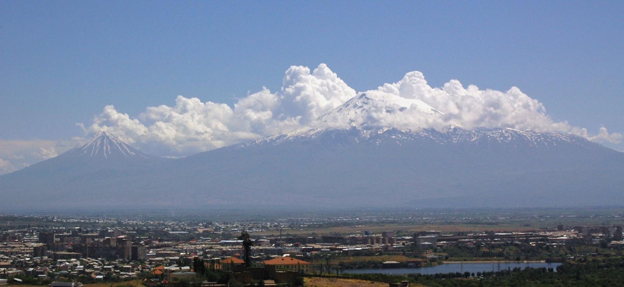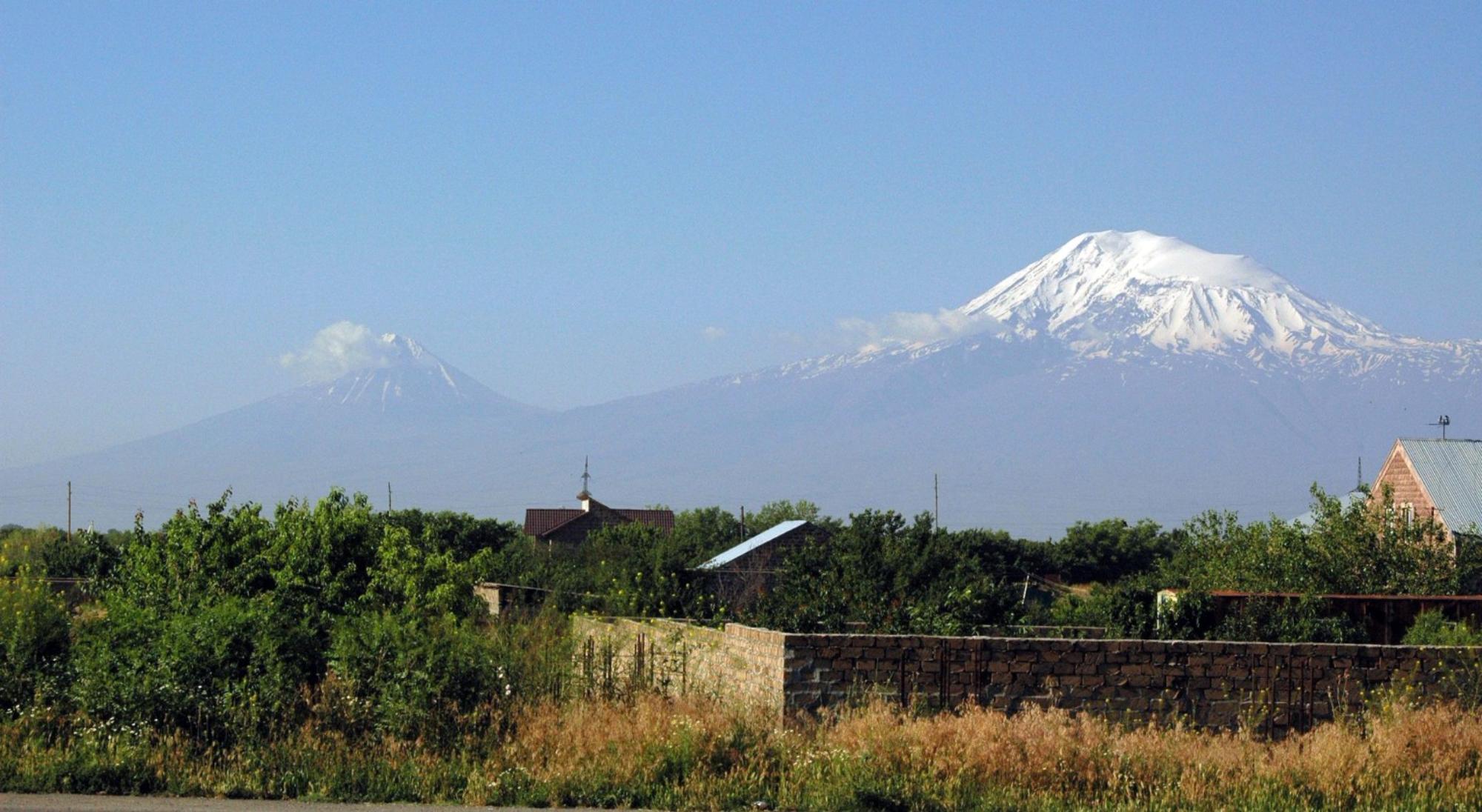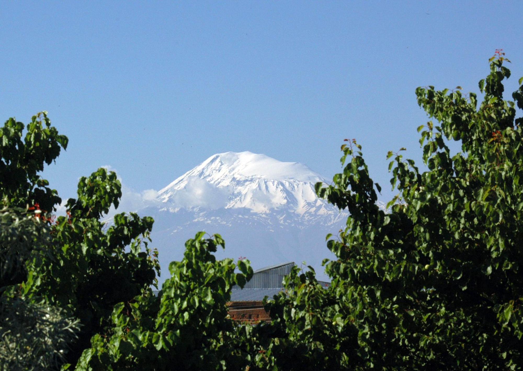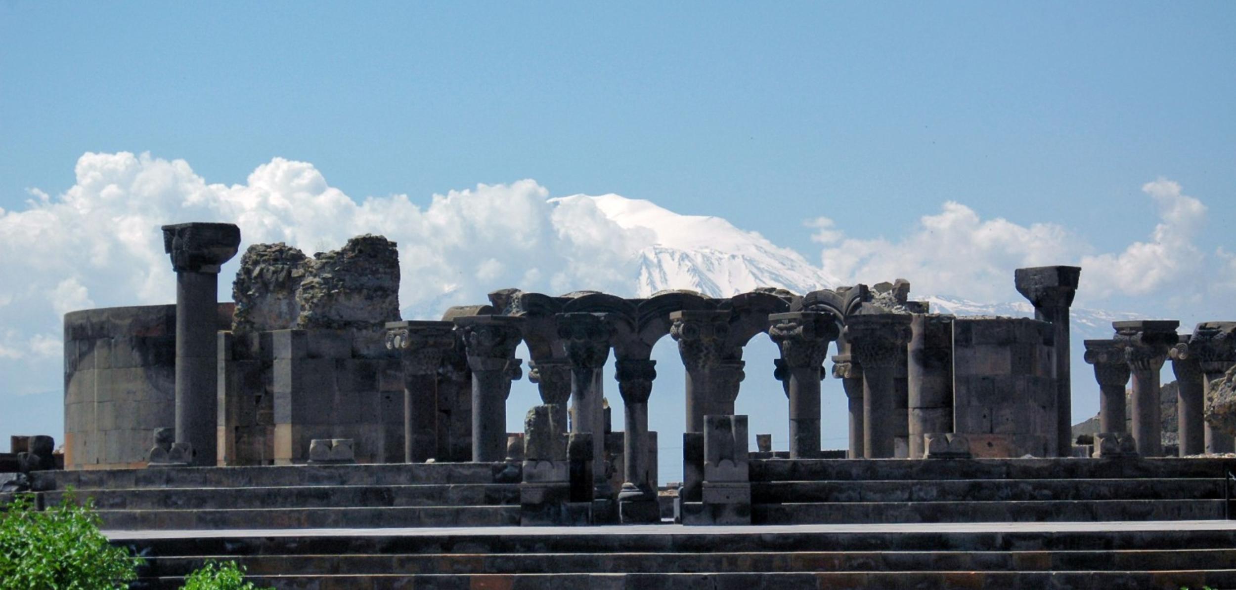