BATUR
Location: 8.242° S, 115.375° E
Elevation: 1.717 m
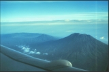

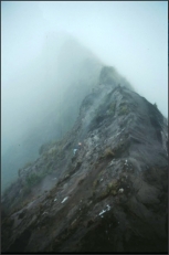
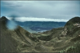
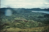
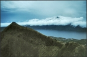
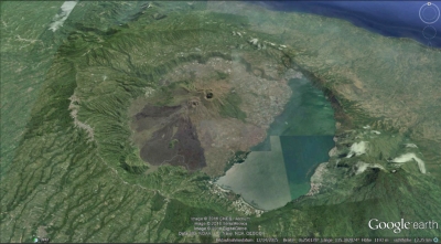
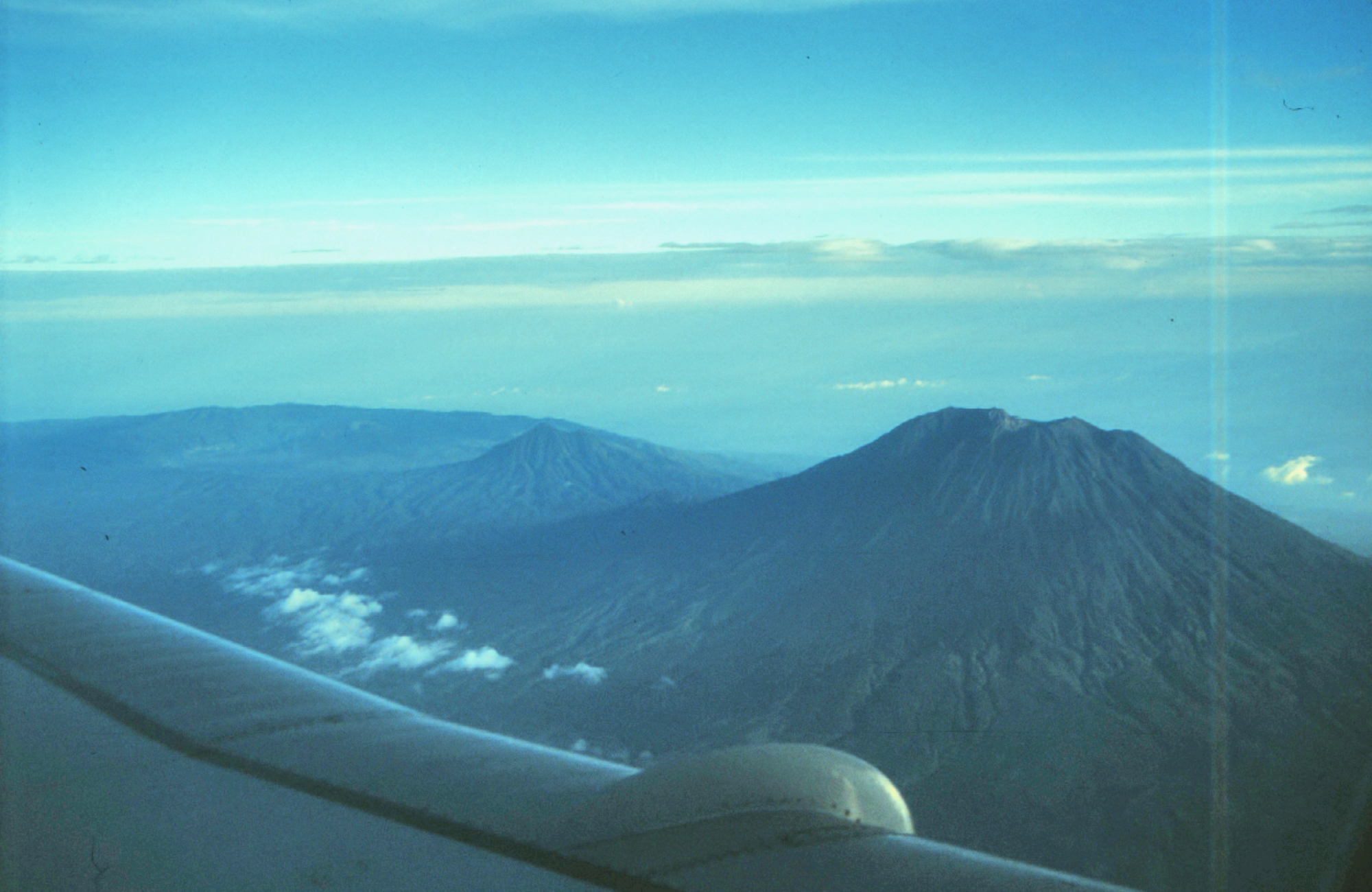
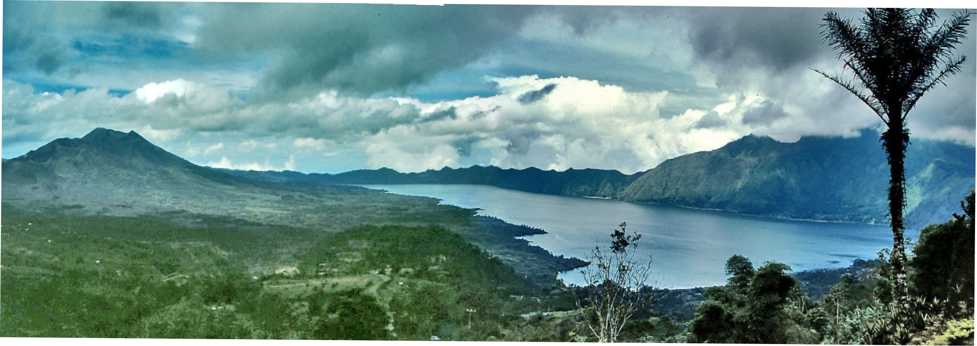
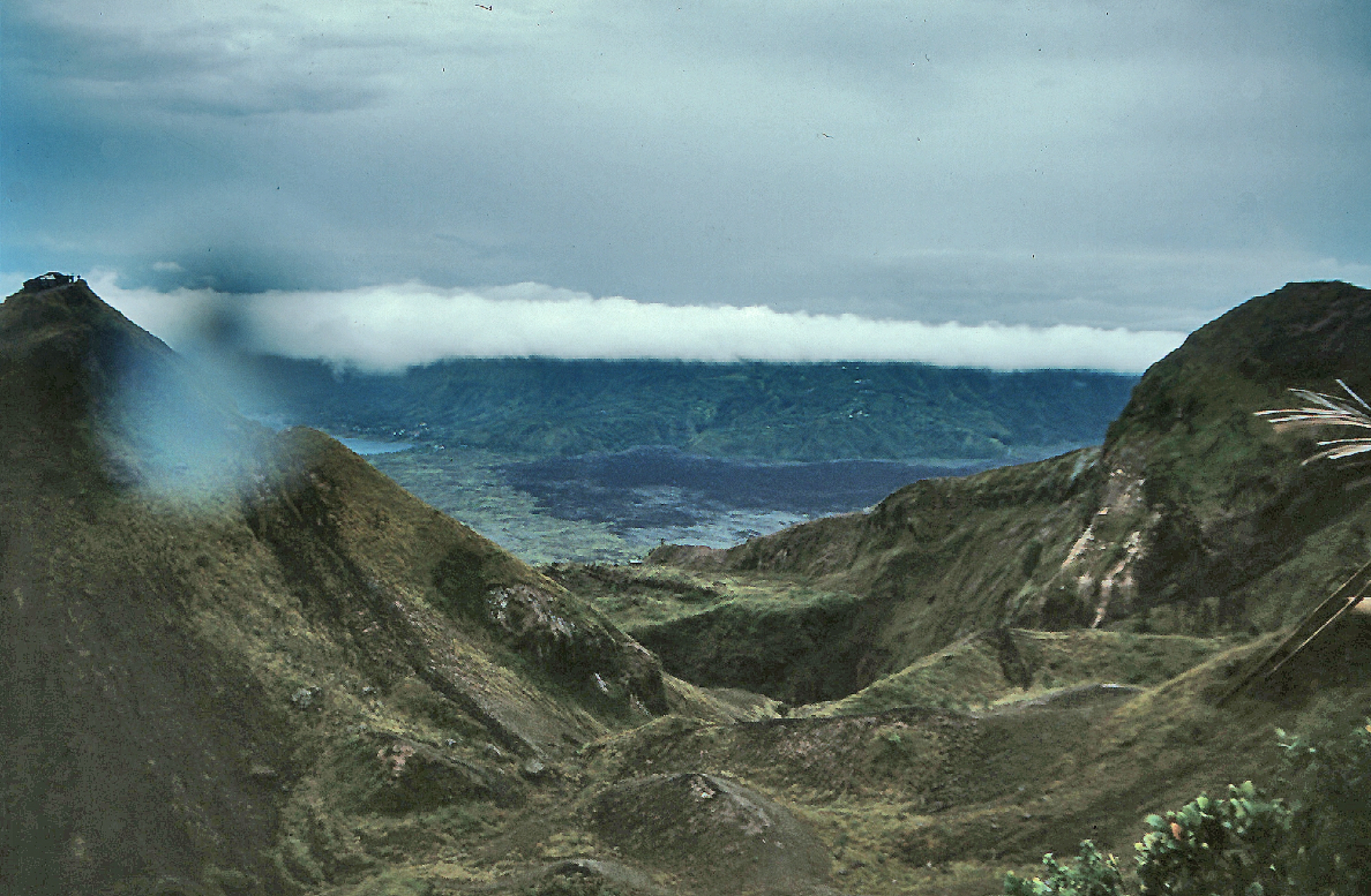
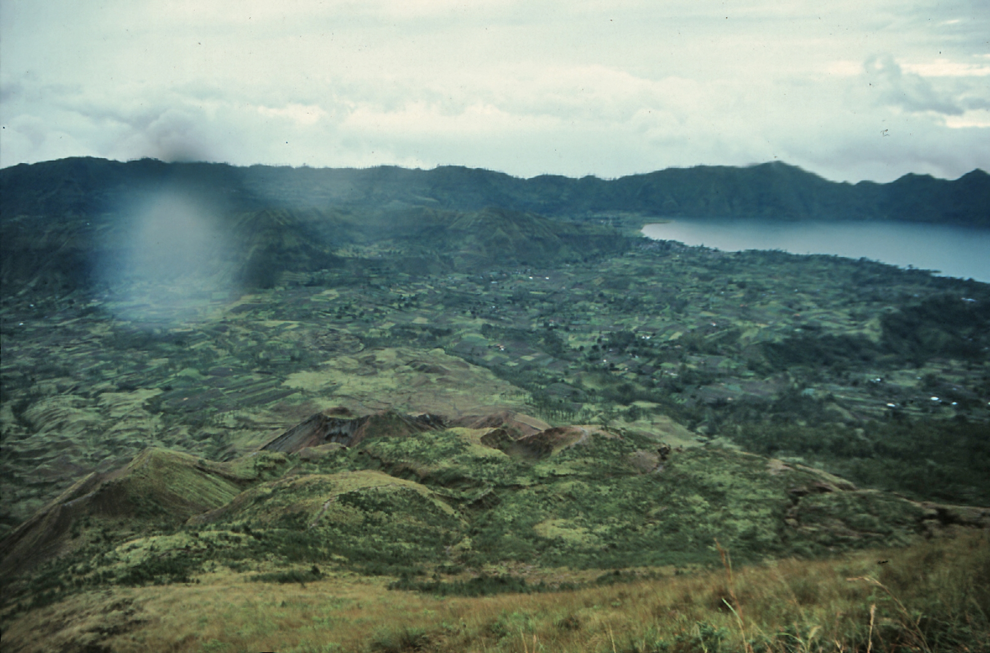
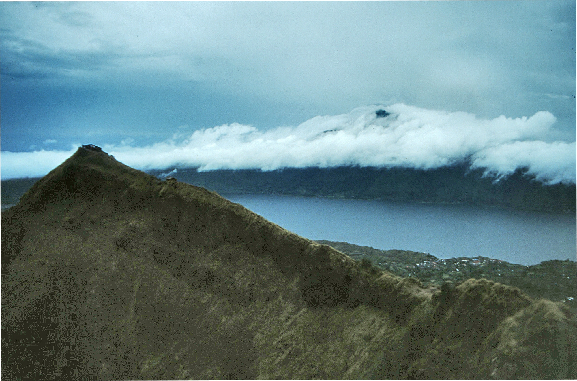
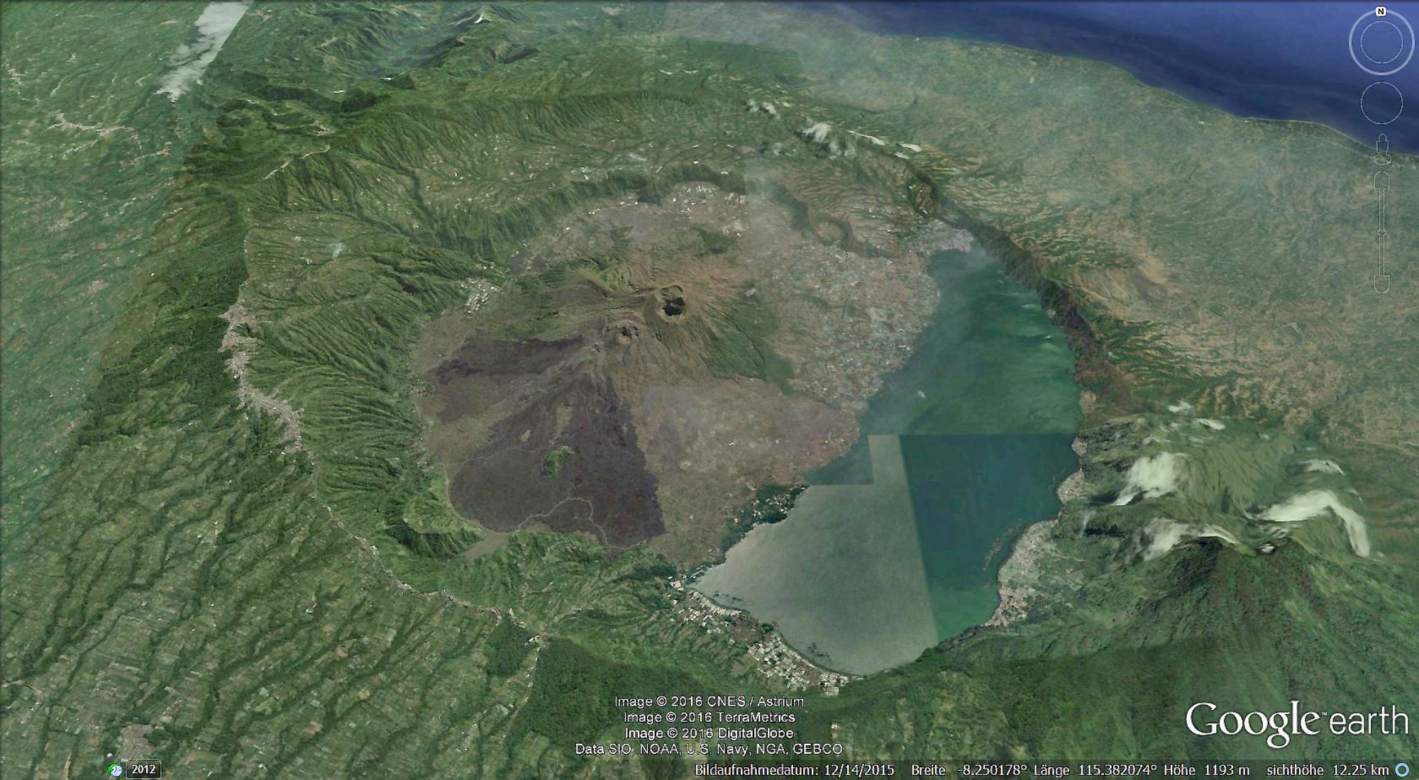
 The historically active Batur volcano is located at the center
 of two concentric calderas NW of Agung volcano. The outer
10 x 13.5 km wide caldera was formed during eruption of the
Bali (or Ubud) Ignimbrite about 29,300 years ago and now
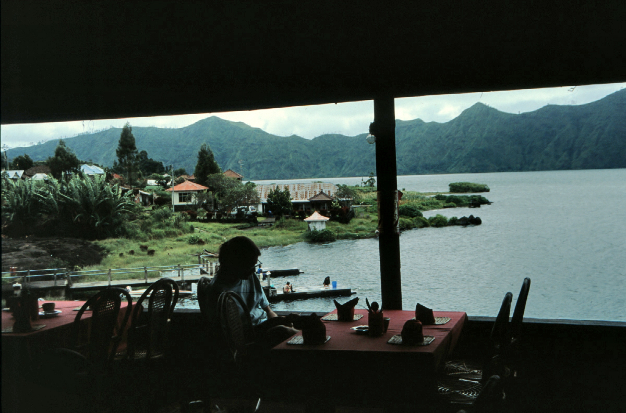
contains a caldera lake on its SE side, opposite the satellitic
cone of 2152-m-high Gunung Abang, the topographic high of
the Batur complex. The inner 6.4 x 9.4 km wide caldera was
formed about 20,150 years ago during eruption of the
Gunungkawi Ignimbrite. The SE wall of the inner caldera lies
beneath Lake Batur; Batur cone has been constructed within
the inner caldera to a height above the outer caldera rim.
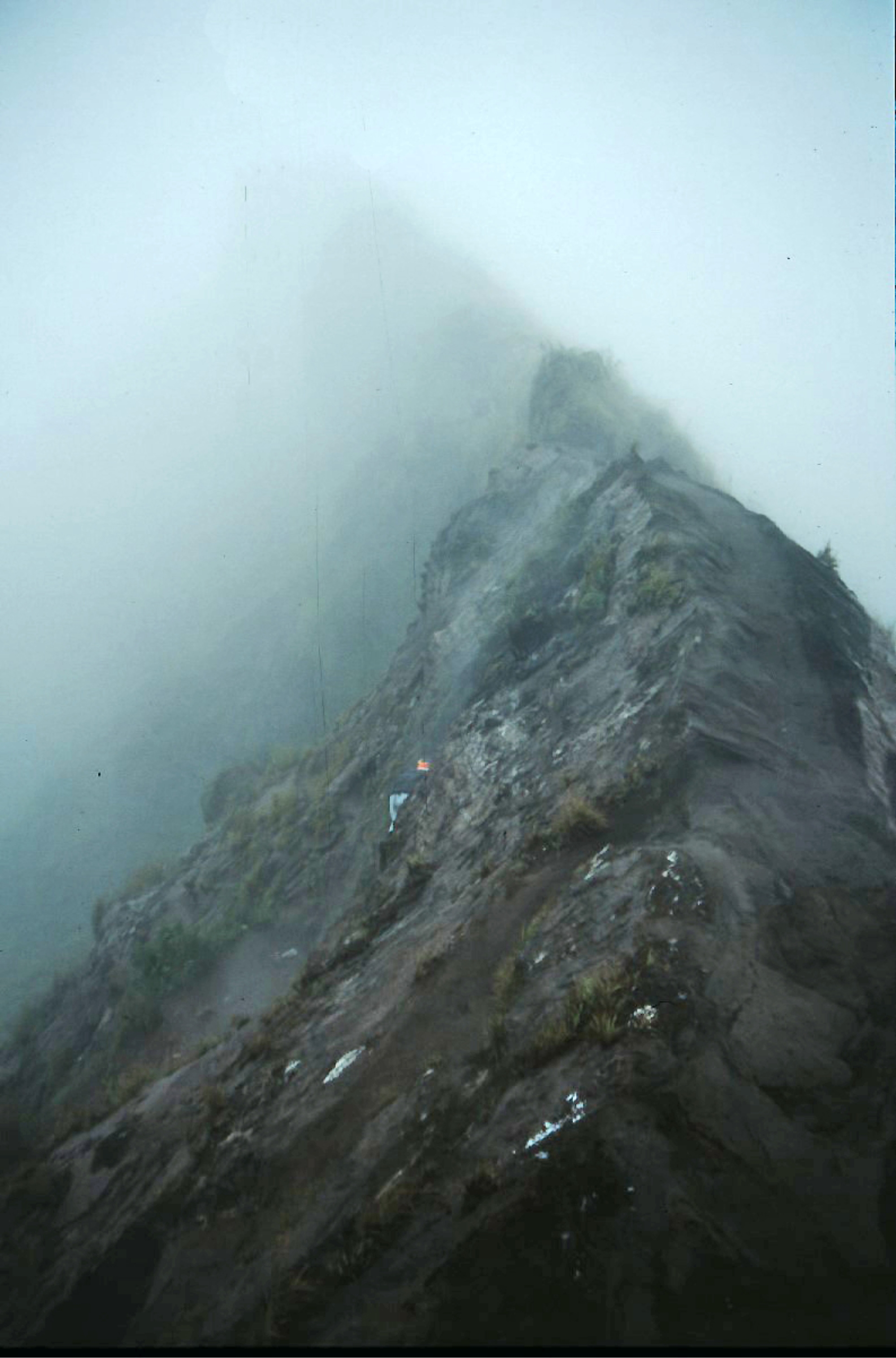
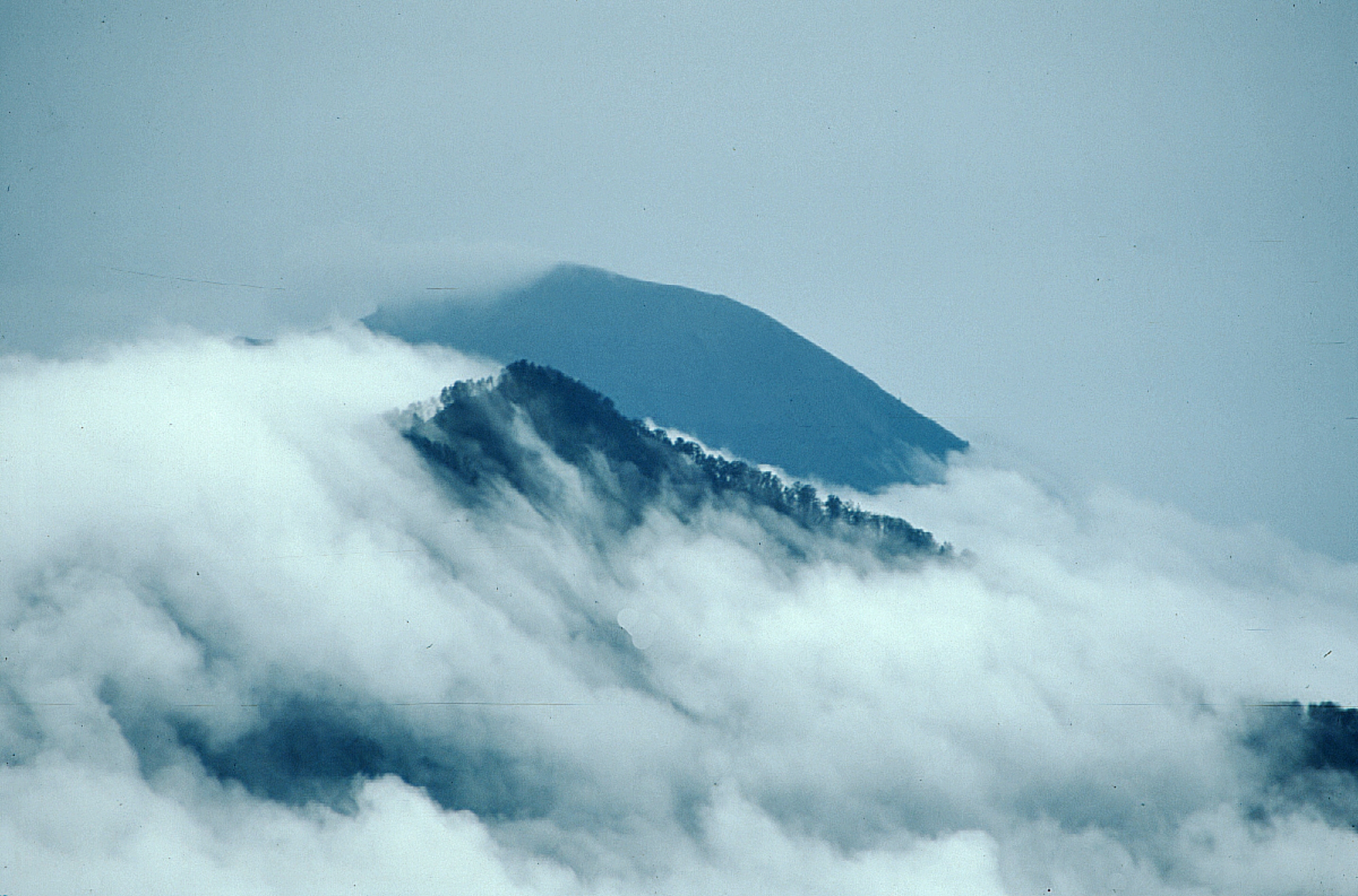
The 1717-m-high Batur stratovolcano has produced vents
over much of the inner caldera, but a NE-SW fissure system has localized the Batur I, II, and III craters along the
summit ridge. Historical eruptions have been characterized by mild-to-moderate explosive activity sometimes
accompanied by lava emission. Basaltic lava flows from both summit and flank vents have reached the caldera
floor and the shores of Lake Batur in historical time. (Global Volcanism Program)
of two concentric calderas NW of Agung volcano. The outer
10 x 13.5 km wide caldera was formed during eruption of the
Bali (or Ubud) Ignimbrite about 29,300 years ago and now
contains a caldera lake on its SE side, opposite the satellitic
cone of 2152-m-high Gunung Abang, the topographic high of
the Batur complex. The inner 6.4 x 9.4 km wide caldera was
formed about 20,150 years ago during eruption of the
Gunungkawi Ignimbrite. The SE wall of the inner caldera lies
beneath Lake Batur; Batur cone has been constructed within
the inner caldera to a height above the outer caldera rim.
The 1717-m-high Batur stratovolcano has produced vents
over much of the inner caldera, but a NE-SW fissure system has localized the Batur I, II, and III craters along the
summit ridge. Historical eruptions have been characterized by mild-to-moderate explosive activity sometimes
accompanied by lava emission. Basaltic lava flows from both summit and flank vents have reached the caldera
floor and the shores of Lake Batur in historical time. (Global Volcanism Program)


 HOME
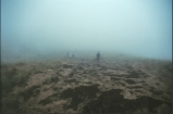
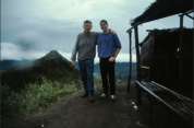
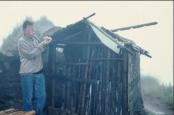
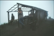
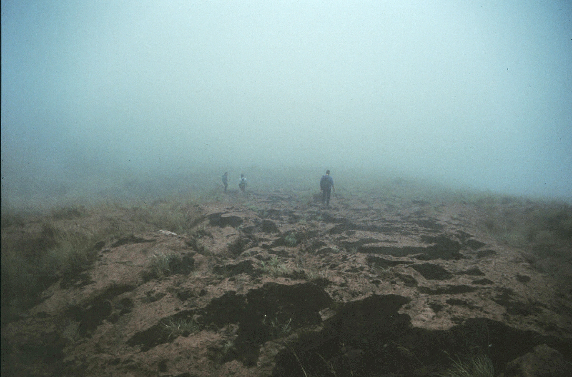
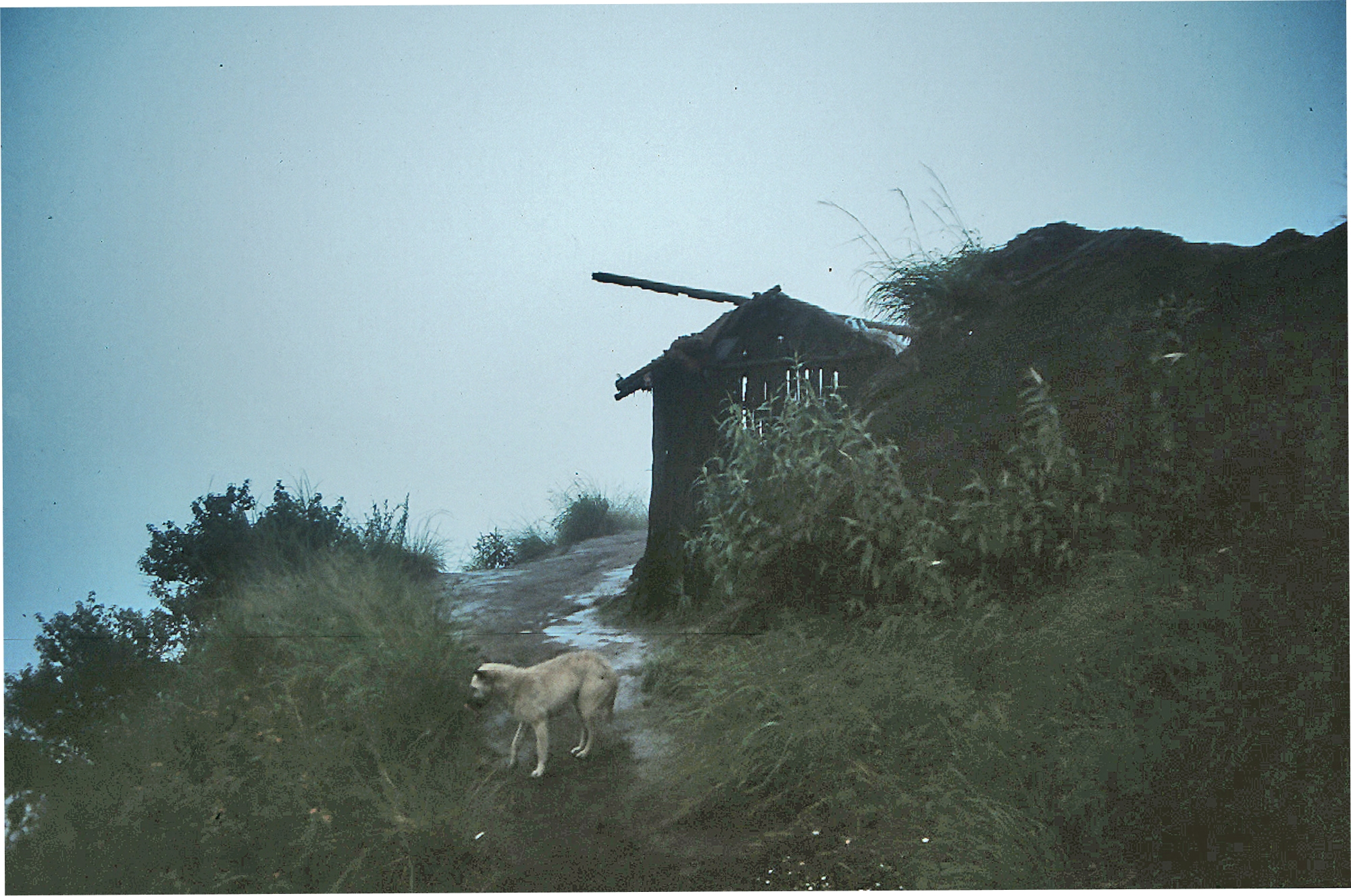
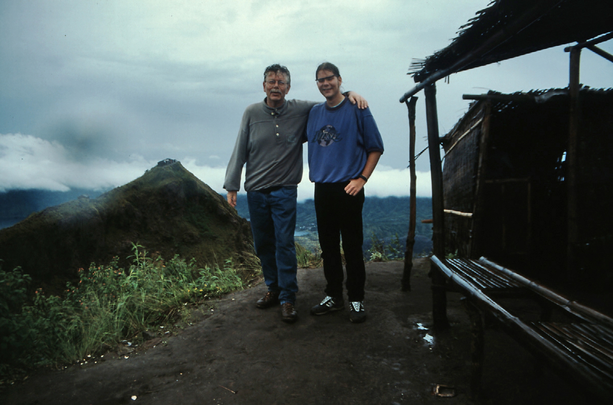
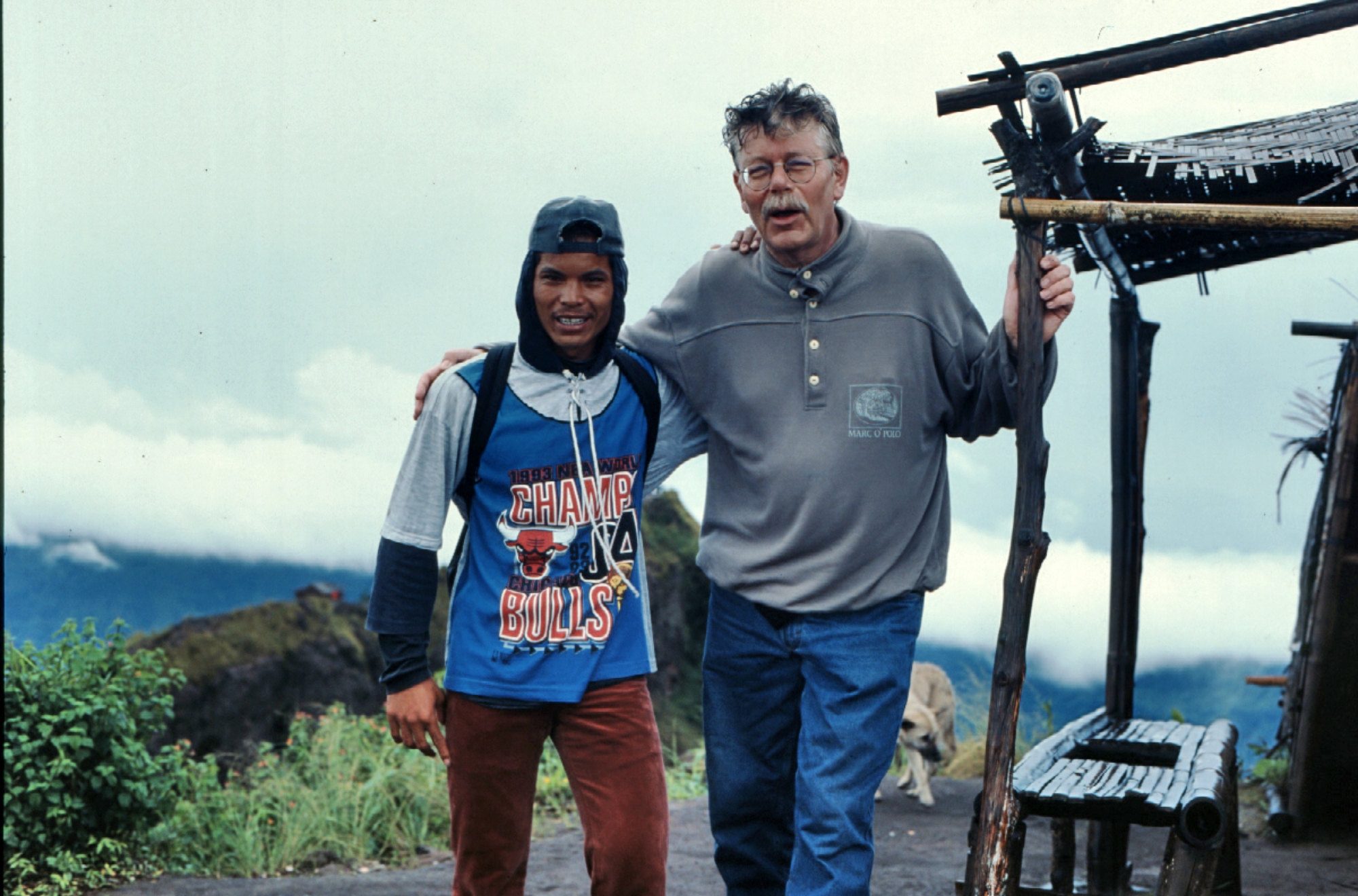
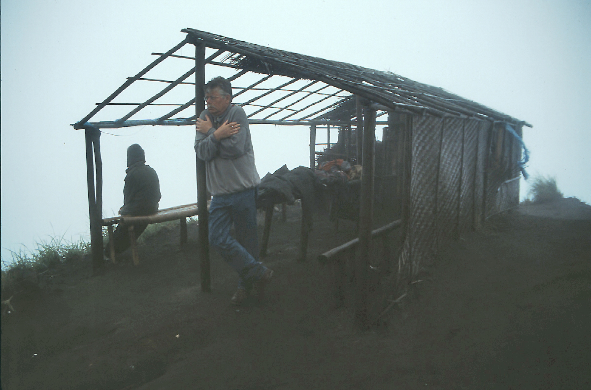
Bali, March 1996
click on pictures to enlarge
HOME
Bali, March 1996
click on pictures to enlarge

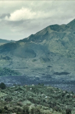
 The historically active Batur volcano is located at the center
of two concentric calderas NW of Agung volcano. The outer
10 x 13.5 km wide caldera was formed during eruption of the
Bali (or Ubud) Ignimbrite about 29,300 years ago and now
contains a caldera lake on its SE side, opposite the satellitic
cone of 2152-m-high Gunung Abang, the topographic high of
the Batur complex. The inner 6.4 x 9.4 km wide caldera was
formed about 20,150 years ago during eruption of the
Gunungkawi Ignimbrite. The SE wall of the inner caldera lies
beneath Lake Batur; Batur cone has been constructed within
the inner caldera to a height above the outer caldera rim.
The 1717-m-high Batur stratovolcano has produced vents
over much of the inner caldera, but a NE-SW fissure system has localized the Batur I, II, and III craters along the
summit ridge. Historical eruptions have been characterized by mild-to-moderate explosive activity sometimes
accompanied by lava emission. Basaltic lava flows from both summit and flank vents have reached the caldera
floor and the shores of Lake Batur in historical time. (Global Volcanism Program)
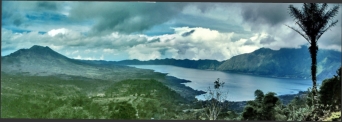
The historically active Batur volcano is located at the center
of two concentric calderas NW of Agung volcano. The outer
10 x 13.5 km wide caldera was formed during eruption of the
Bali (or Ubud) Ignimbrite about 29,300 years ago and now
contains a caldera lake on its SE side, opposite the satellitic
cone of 2152-m-high Gunung Abang, the topographic high of
the Batur complex. The inner 6.4 x 9.4 km wide caldera was
formed about 20,150 years ago during eruption of the
Gunungkawi Ignimbrite. The SE wall of the inner caldera lies
beneath Lake Batur; Batur cone has been constructed within
the inner caldera to a height above the outer caldera rim.
The 1717-m-high Batur stratovolcano has produced vents
over much of the inner caldera, but a NE-SW fissure system has localized the Batur I, II, and III craters along the
summit ridge. Historical eruptions have been characterized by mild-to-moderate explosive activity sometimes
accompanied by lava emission. Basaltic lava flows from both summit and flank vents have reached the caldera
floor and the shores of Lake Batur in historical time. (Global Volcanism Program)

 HOME
Bali, March 1996
click on pictures to enlarge
HOME
Bali, March 1996
click on pictures to enlarge