Chã das Caldeiras
Location: 14°57'0'' N, 24°21'0'' W
Elevation: ~ 1600 m
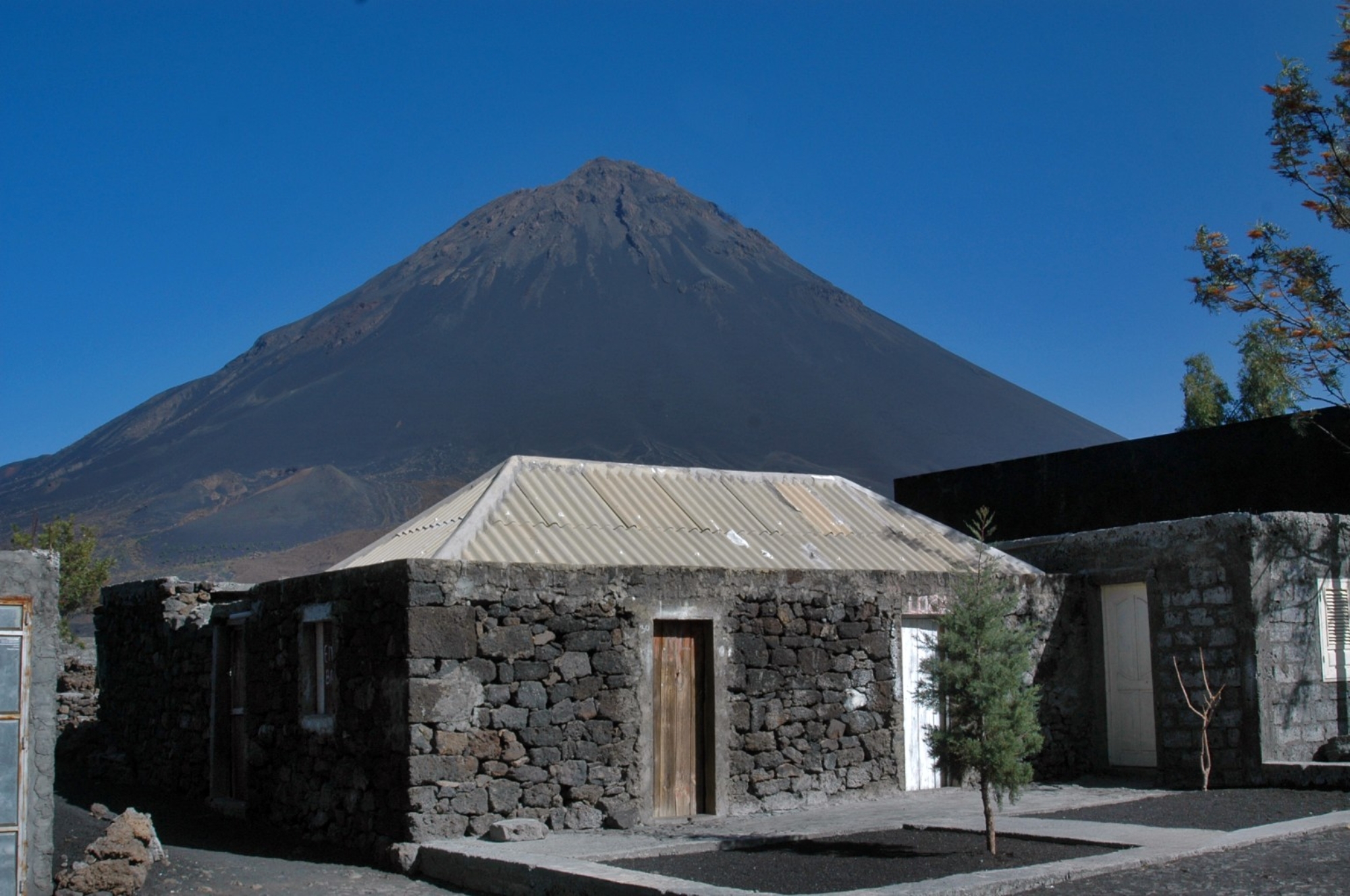
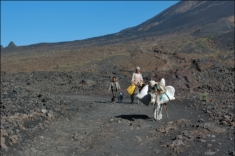
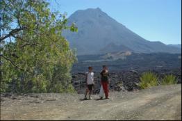
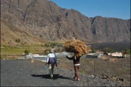
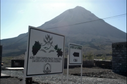
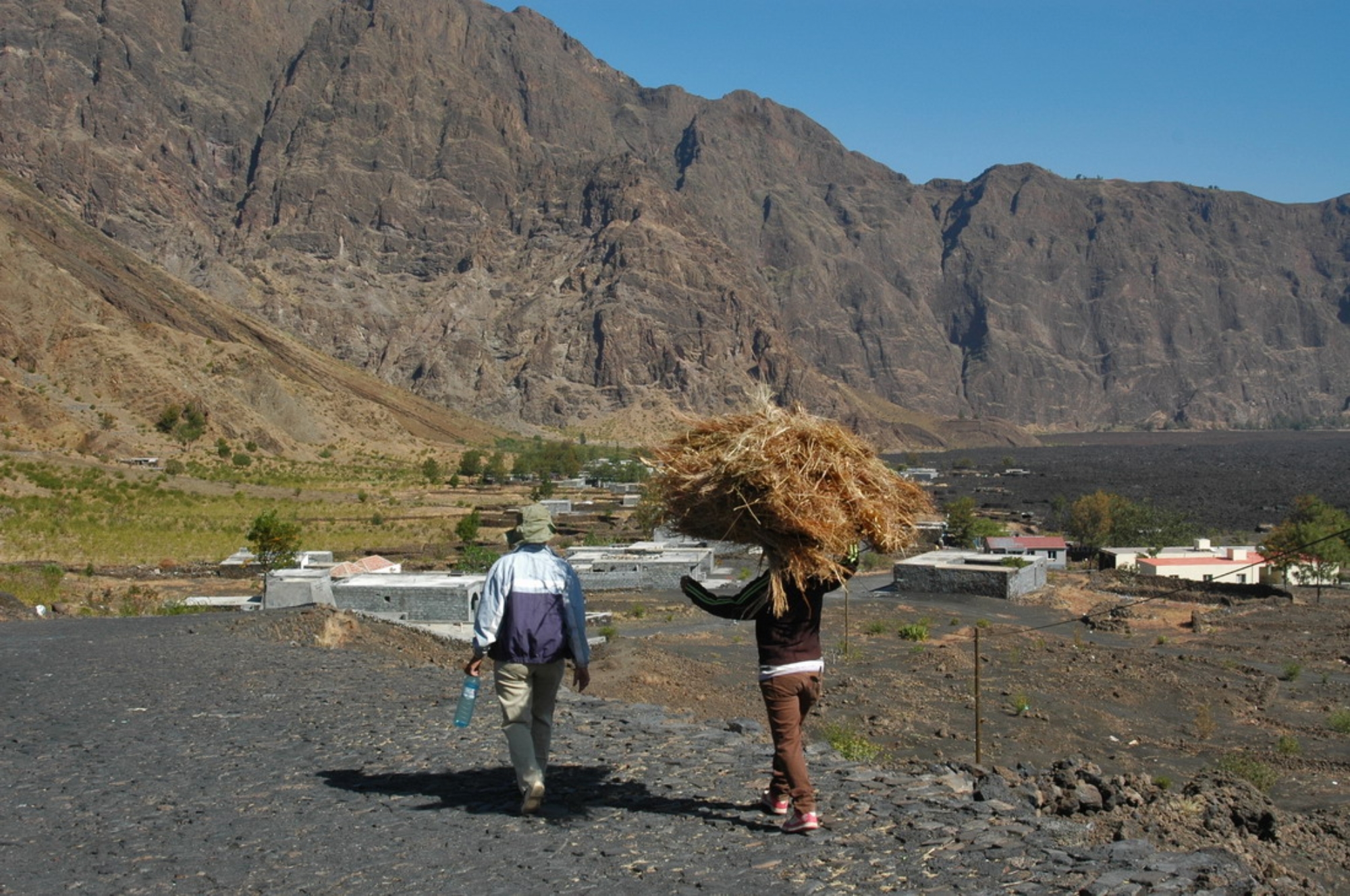
Chã das Caldeiras (“Plain of the Calderas”) is a small community of approximately 1,000 inhabitants, situated within
the crater of the volcanic Pico do Fogo on the island of Fogo,
one of nine inhabited islands comprising the West African
nation of Cape Verde. The village consists of two parts:
Portela is the upper part with the Tourist Information, a school,
Catholic Church, Adventist Church and the Cooperative. The
lower part is Bangaeira. Though technically in the Conselho
de Santa Catarina, the village is functionally independent from
outside governance due its isolated location. The main
organizing body in the village is the Associação dos
Agricultores de Chã (the agricultural cooperative) which holds
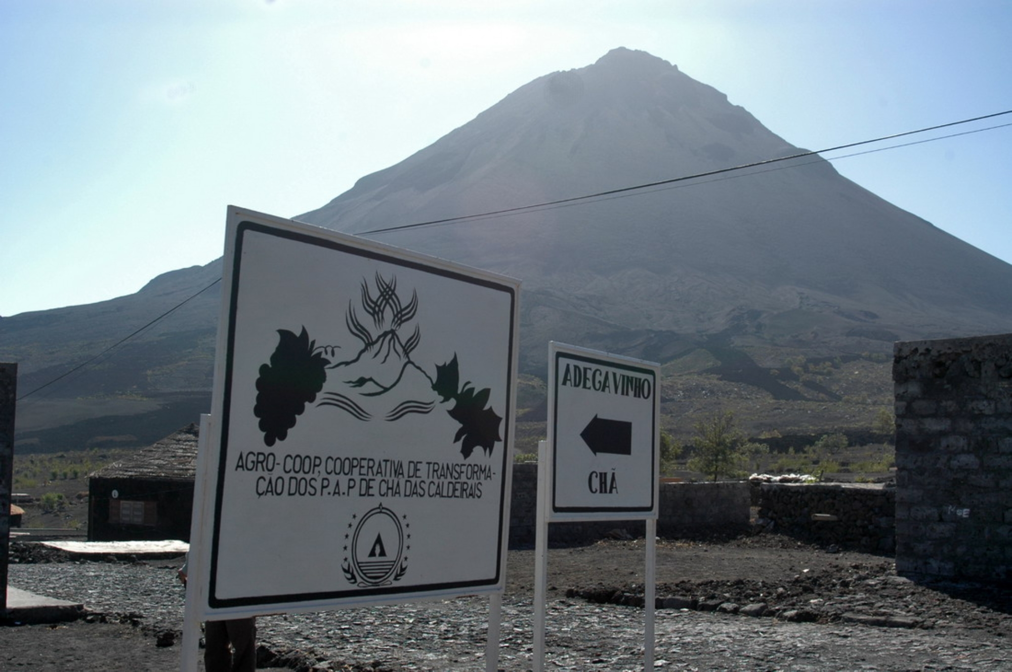
considerable sway over the local economy. Chã is the only
area in Cape Verde that grows significant quantities of grapes
and produces export-quality wines.
There is no running water or electricity in Chã, though
increasingly people use generators at night to light and power their homes. All non-drinking water is collected rain,
stored in large cistern tanks for use in the dry season (November to July)
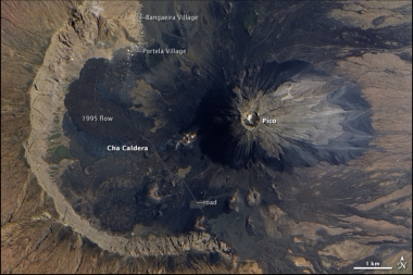
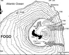
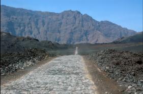
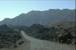
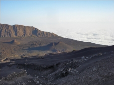
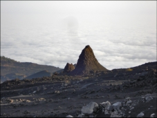
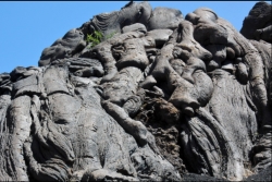
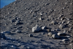
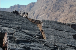
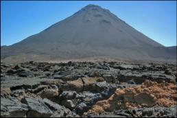
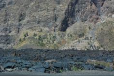
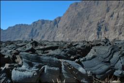
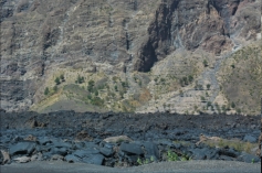
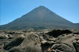
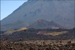
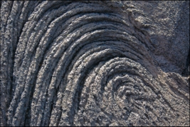
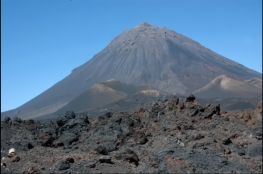
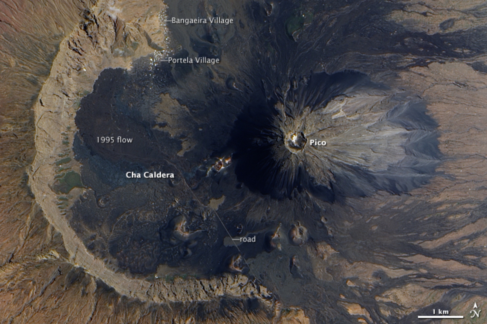
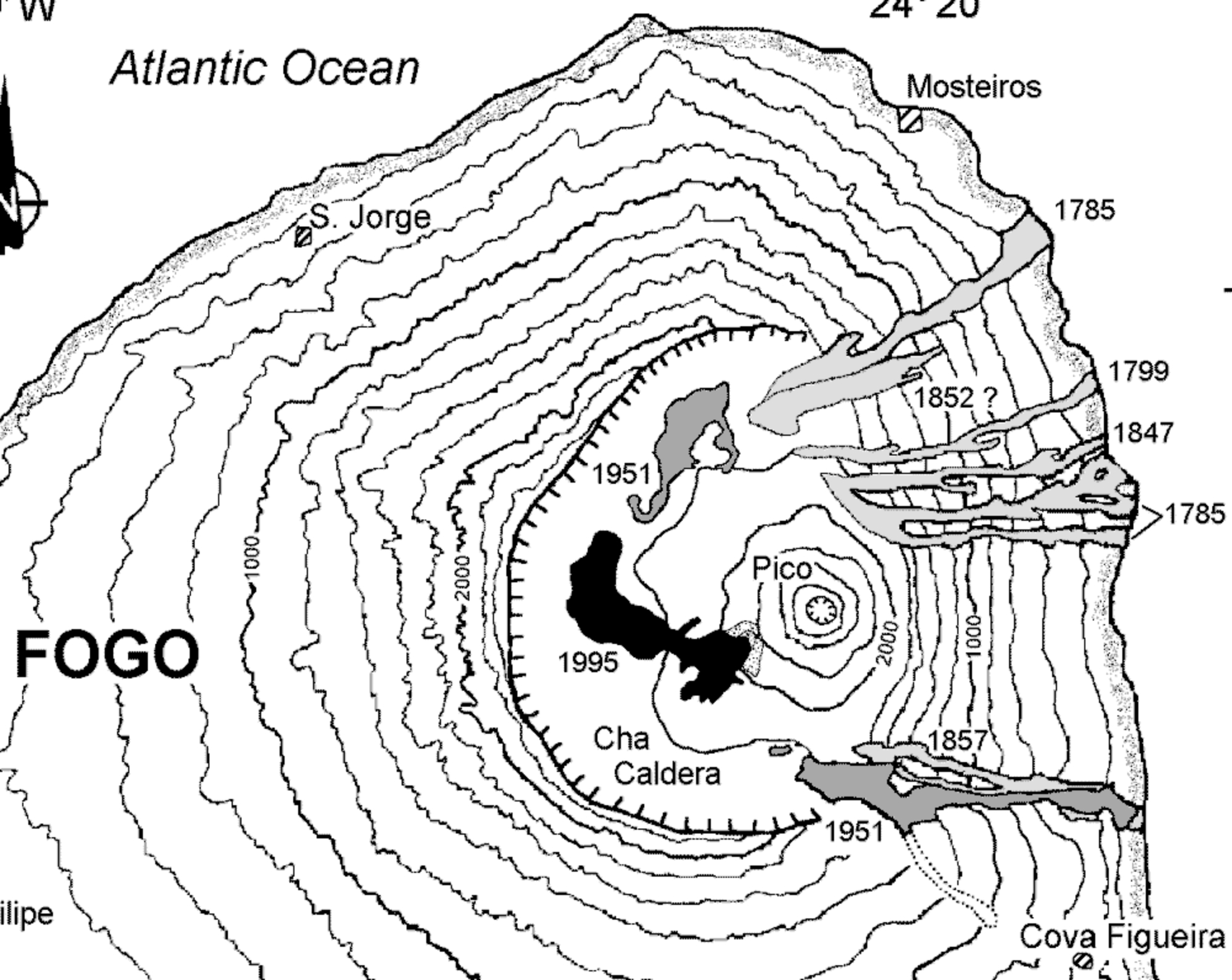
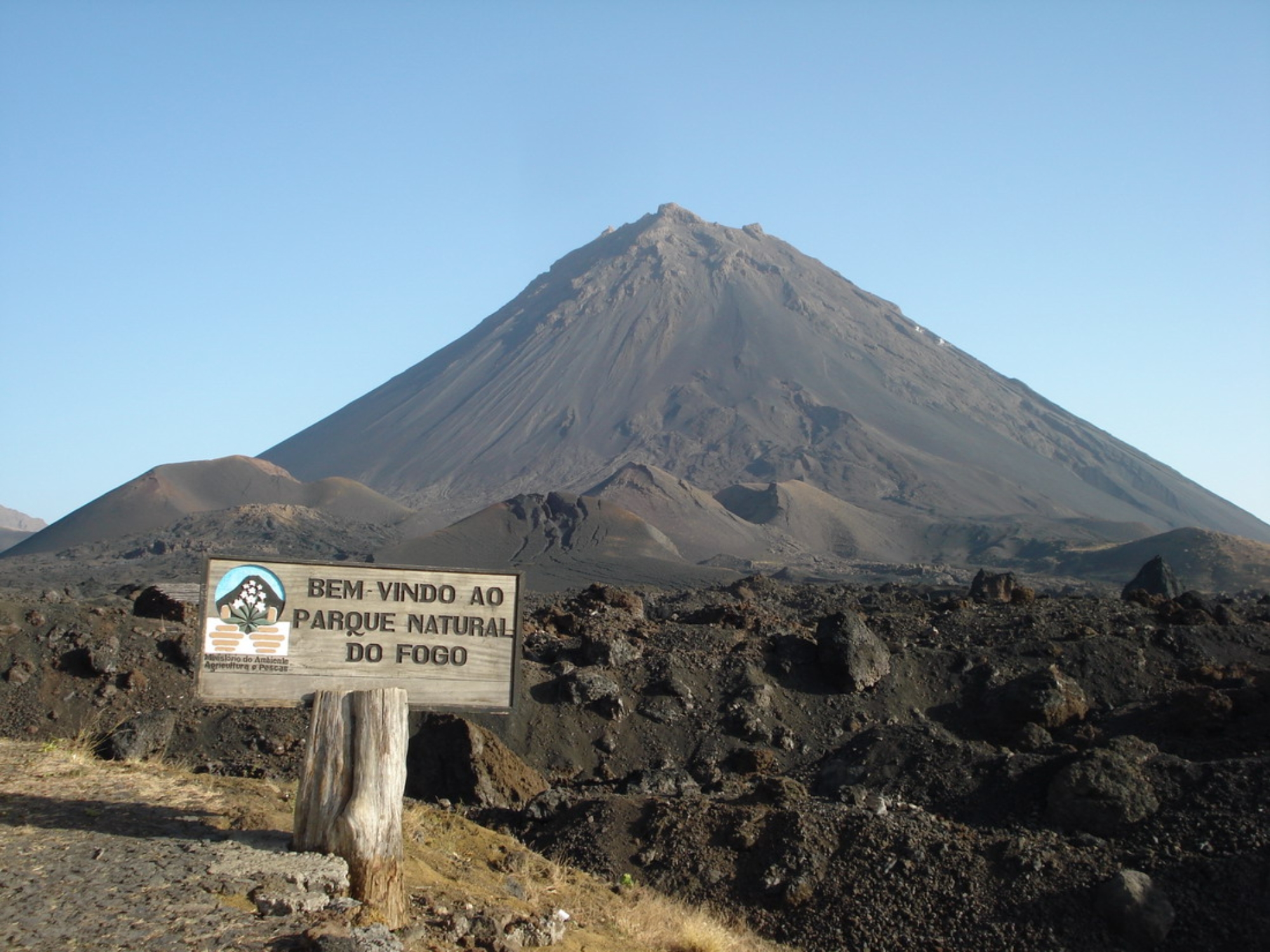
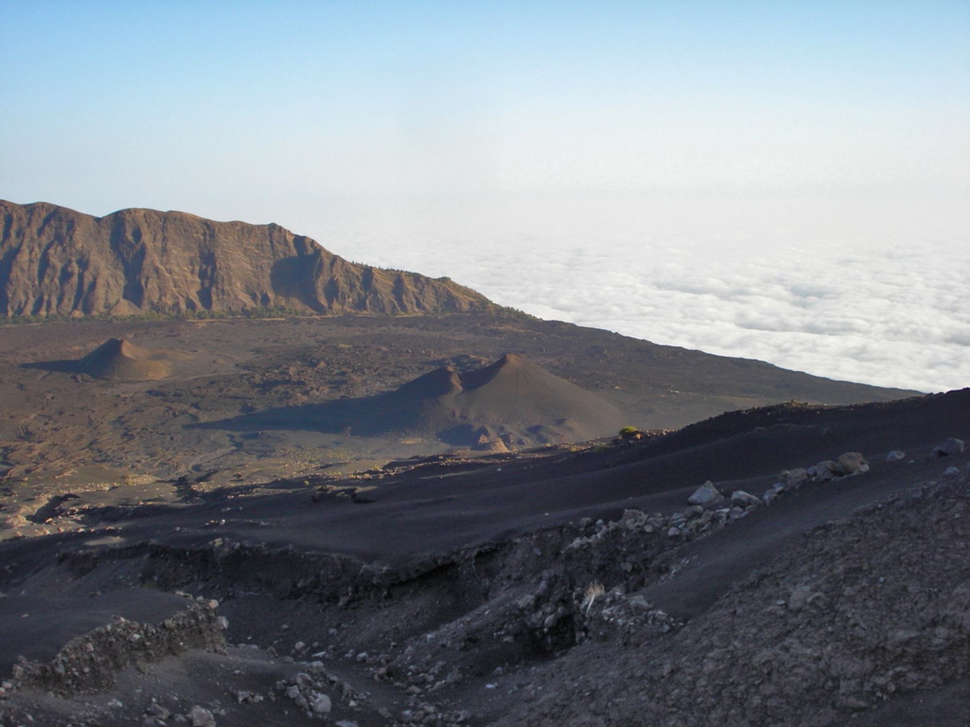
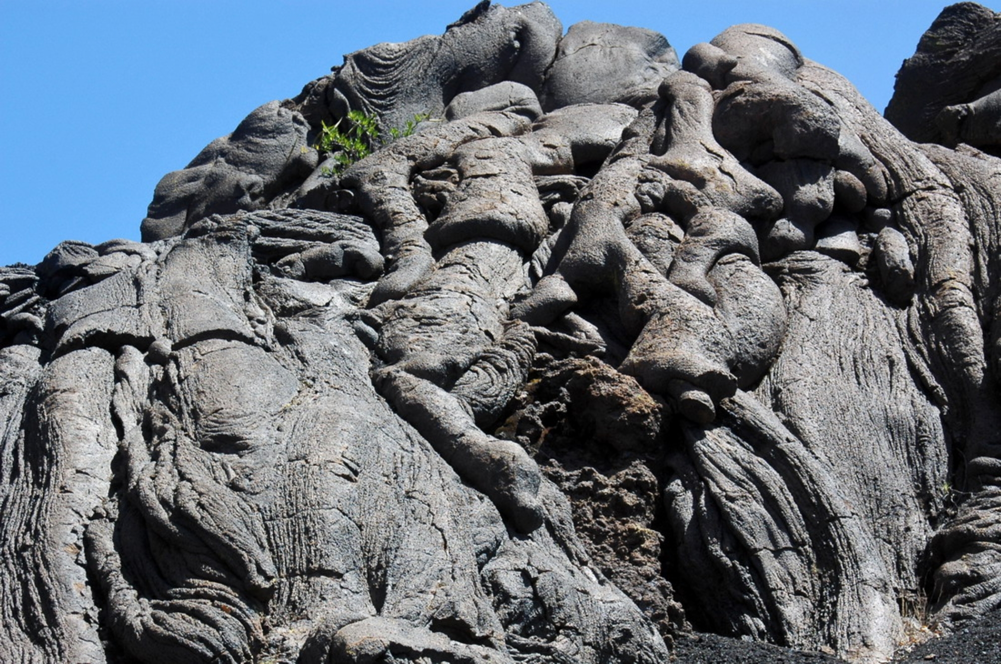
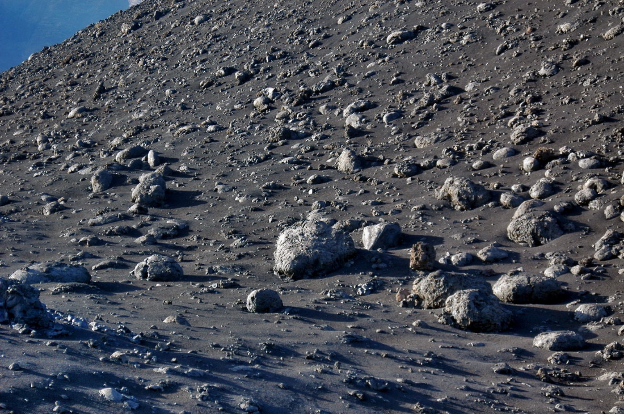
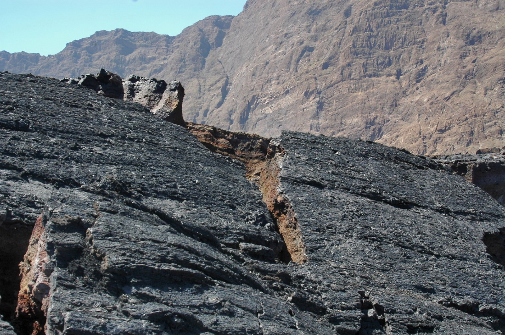
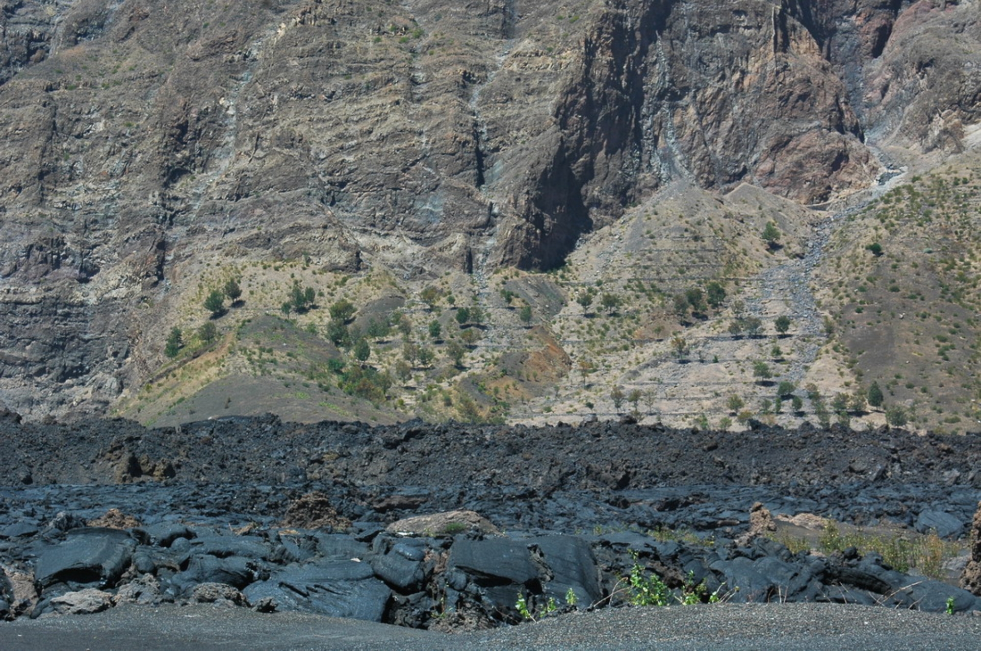
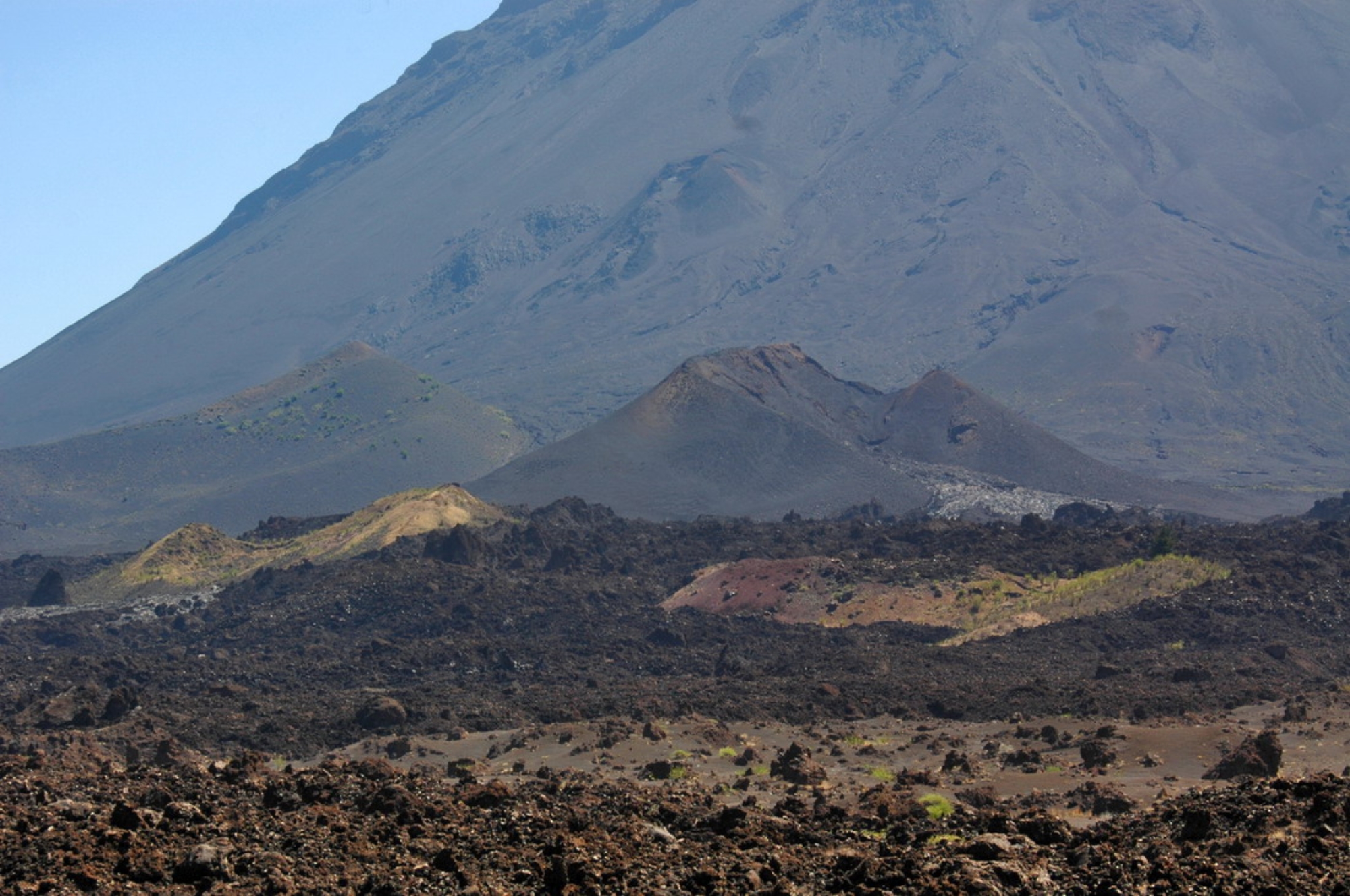
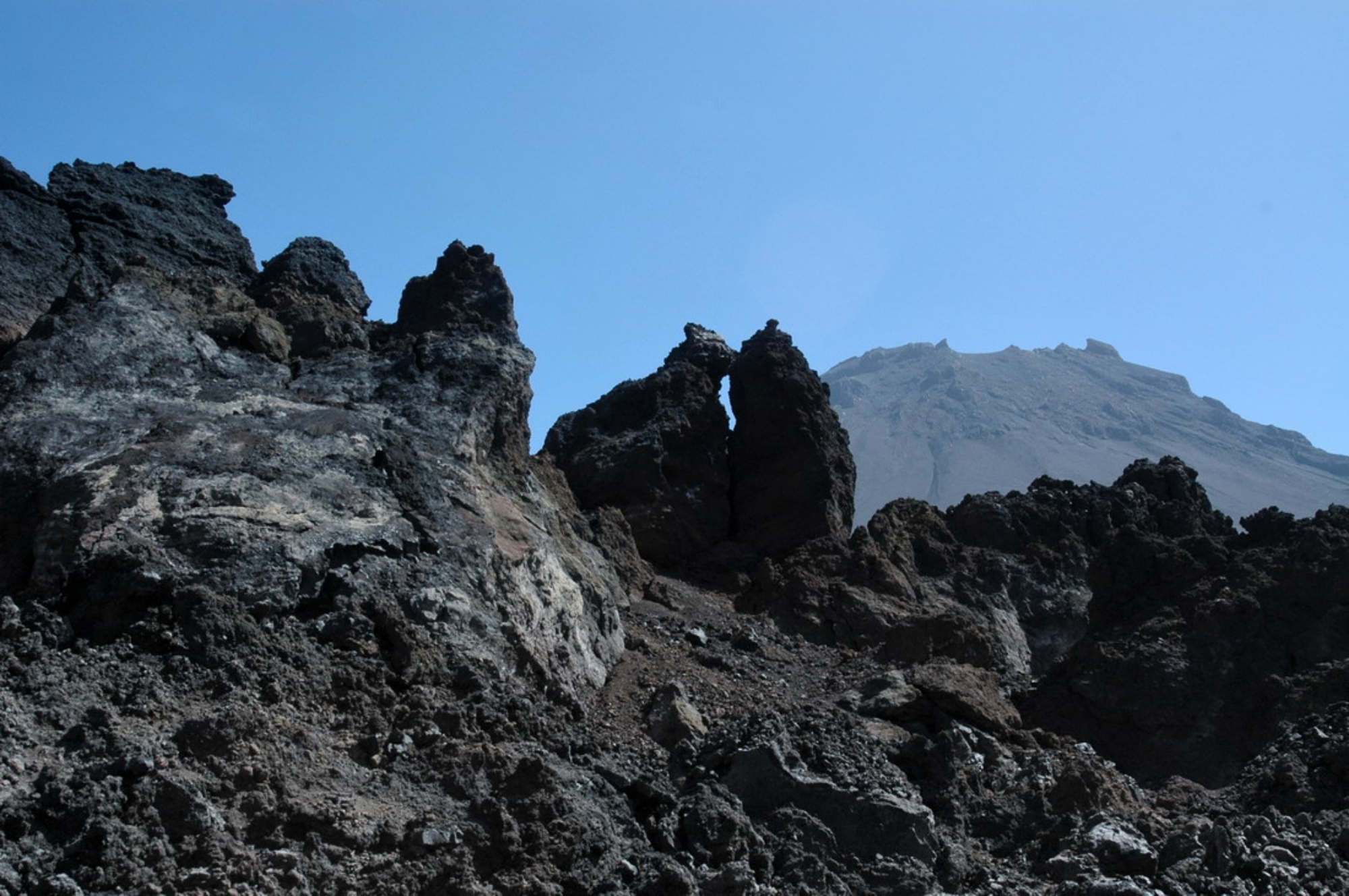
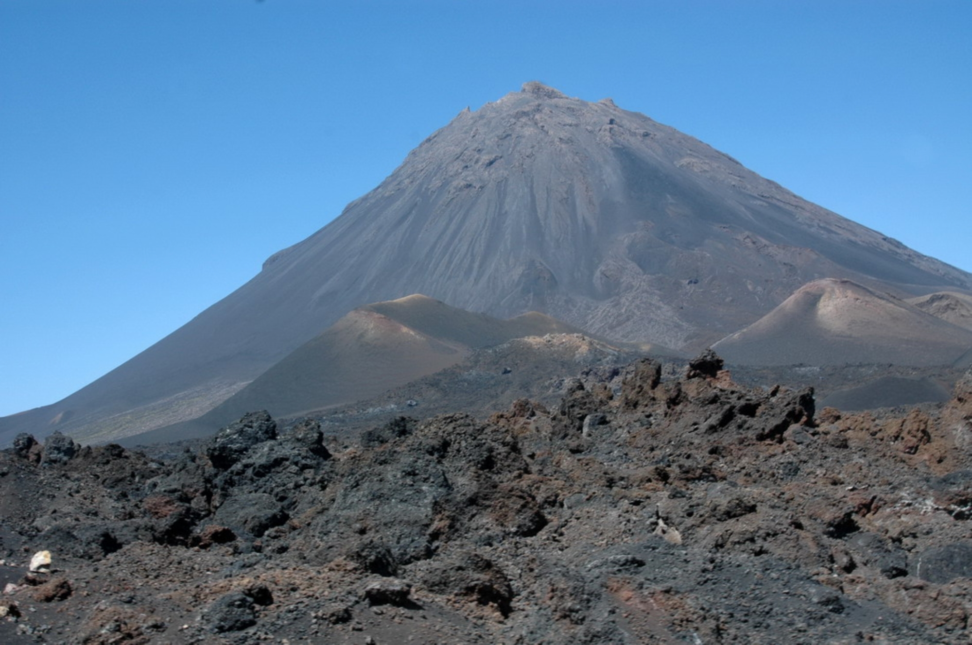
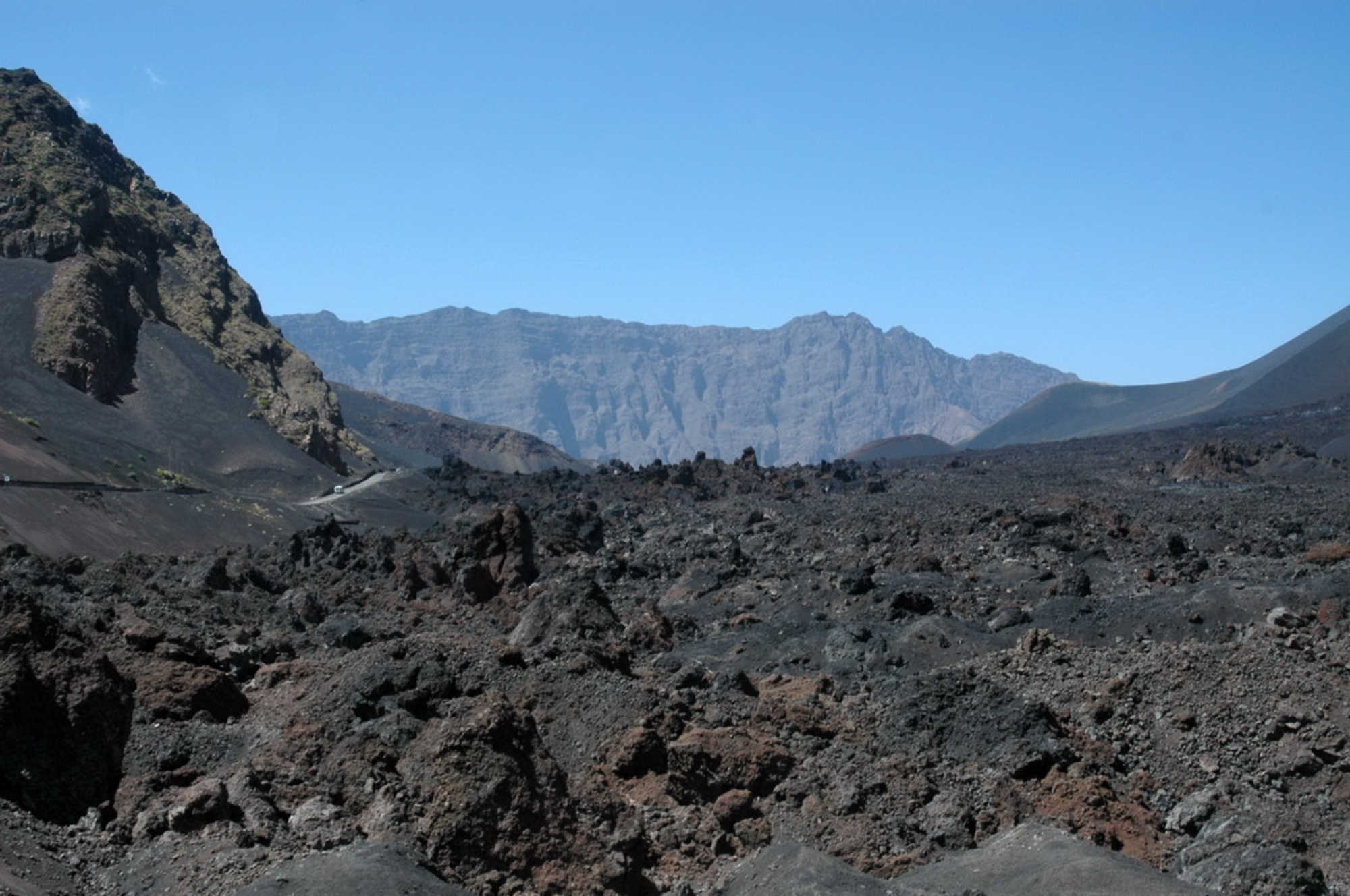
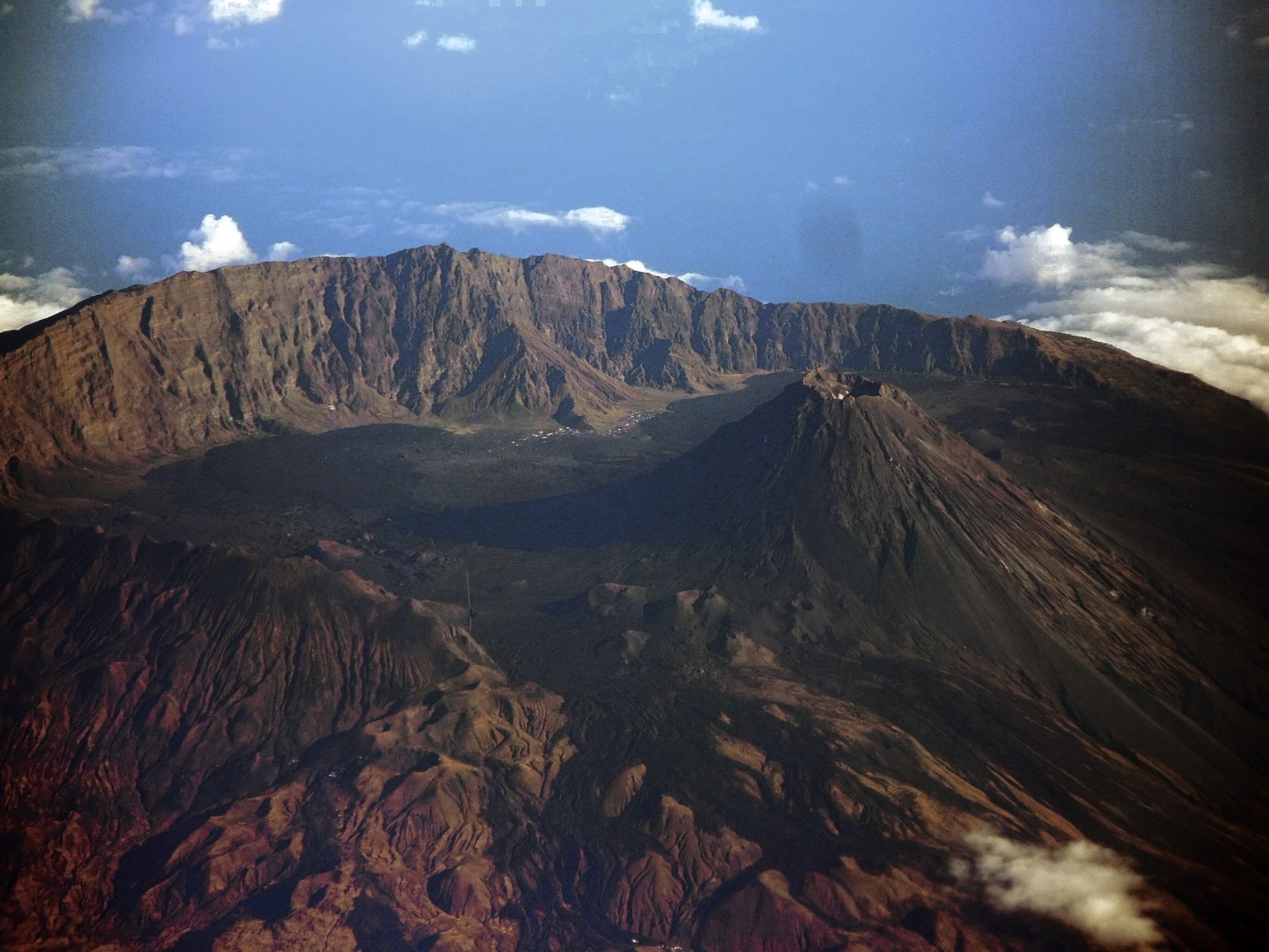
A large crater rim with 1000-meter escarpments, called the Bordeira, encircles the village, which consists of two
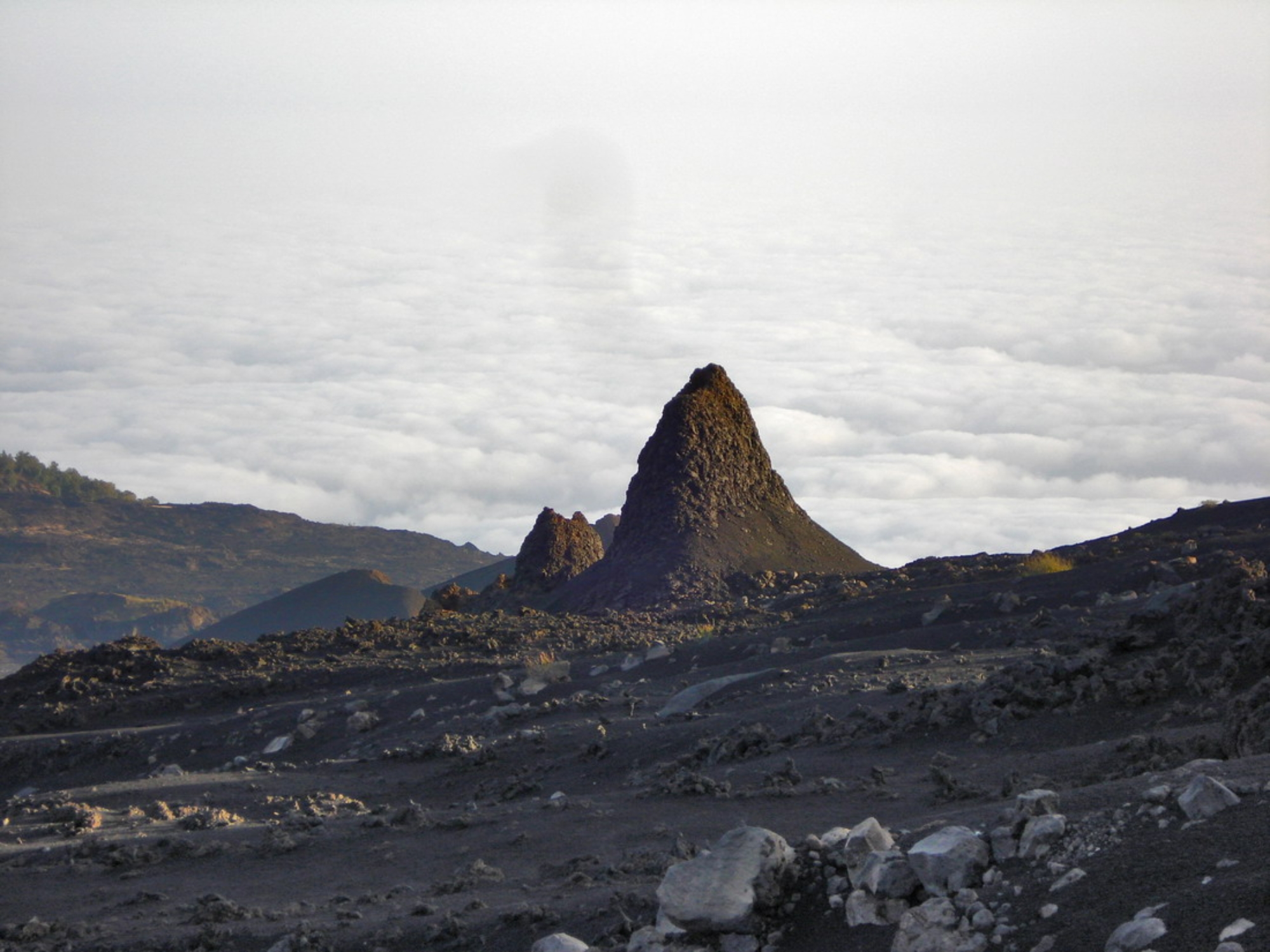
neighborhoods, Portela and Bangaeira. On the plain is one large volcanic peak (2,829 m from sea level) and several
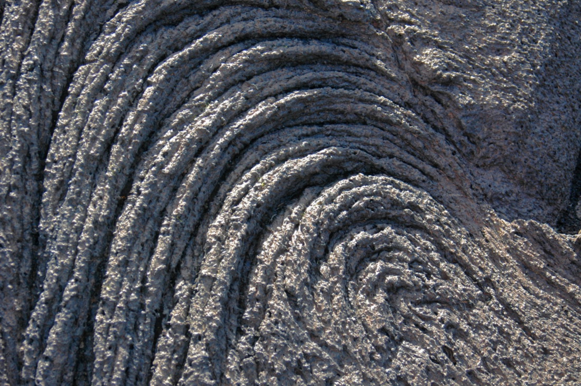
smaller peaks and lava fields from recent eruptions, most notably 1951 and 1995 (during which the entire population
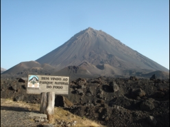
had to be evacuated). The entire caldera, some 67 km², is a protected area as part of the Parque Natural do Fogo, a
cooperative effort between the German and Cape Verdean governments. (WIKIPEDIA)
community of approximately 1,000 inhabitants, situated within
the crater of the volcanic Pico do Fogo on the island of Fogo,
one of nine inhabited islands comprising the West African
nation of Cape Verde. The village consists of two parts:
Portela is the upper part with the Tourist Information, a school,
Catholic Church, Adventist Church and the Cooperative. The
lower part is Bangaeira. Though technically in the Conselho
de Santa Catarina, the village is functionally independent from
outside governance due its isolated location. The main
organizing body in the village is the Associação dos
Agricultores de Chã (the agricultural cooperative) which holds
considerable sway over the local economy. Chã is the only
area in Cape Verde that grows significant quantities of grapes
and produces export-quality wines.
There is no running water or electricity in Chã, though
increasingly people use generators at night to light and power their homes. All non-drinking water is collected rain,
stored in large cistern tanks for use in the dry season (November to July)
A large crater rim with 1000-meter escarpments, called the Bordeira, encircles the village, which consists of two
neighborhoods, Portela and Bangaeira. On the plain is one large volcanic peak (2,829 m from sea level) and several
smaller peaks and lava fields from recent eruptions, most notably 1951 and 1995 (during which the entire population
had to be evacuated). The entire caldera, some 67 km², is a protected area as part of the Parque Natural do Fogo, a
cooperative effort between the German and Cape Verdean governments. (WIKIPEDIA)


 HOME
HOME

community of approximately 1,000 inhabitants, situated within
the crater of the volcanic Pico do Fogo on the island of Fogo,
one of nine inhabited islands comprising the West African
nation of Cape Verde. The village consists of two parts:
Portela is the upper part with the Tourist Information, a school,
Catholic Church, Adventist Church and the Cooperative. The
lower part is Bangaeira. Though technically in the Conselho
de Santa Catarina, the village is functionally independent from
outside governance due its isolated location. The main
organizing body in the village is the Associação dos
Agricultores de Chã (the agricultural cooperative) which holds
considerable sway over the local economy. Chã is the only
area in Cape Verde that grows significant quantities of grapes
and produces export-quality wines.
There is no running water or electricity in Chã, though
increasingly people use generators at night to light and power their homes. All non-drinking water is collected rain,
stored in large cistern tanks for use in the dry season (November to July)
A large crater rim with 1000-meter escarpments, called the Bordeira, encircles the village, which consists of two
neighborhoods, Portela and Bangaeira. On the plain is one large volcanic peak (2,829 m from sea level) and several
smaller peaks and lava fields from recent eruptions, most notably 1951 and 1995 (during which the entire population
had to be evacuated). The entire caldera, some 67 km², is a protected area as part of the Parque Natural do Fogo, a
cooperative effort between the German and Cape Verdean governments. (WIKIPEDIA)

 HOME
HOME