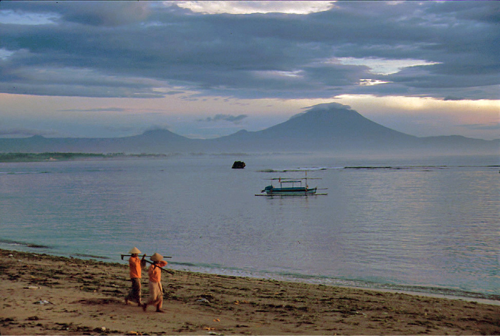
Gunung Agung
Location: 8.342 S, 115.508 E
Elevation: 3.142 m
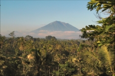
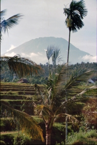
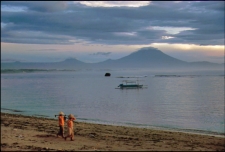
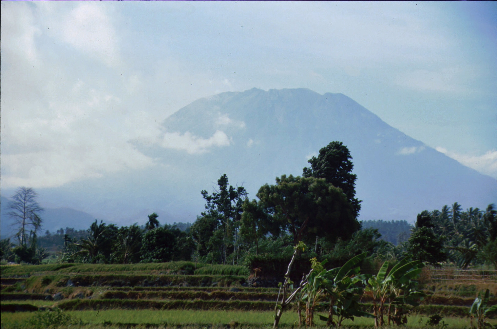
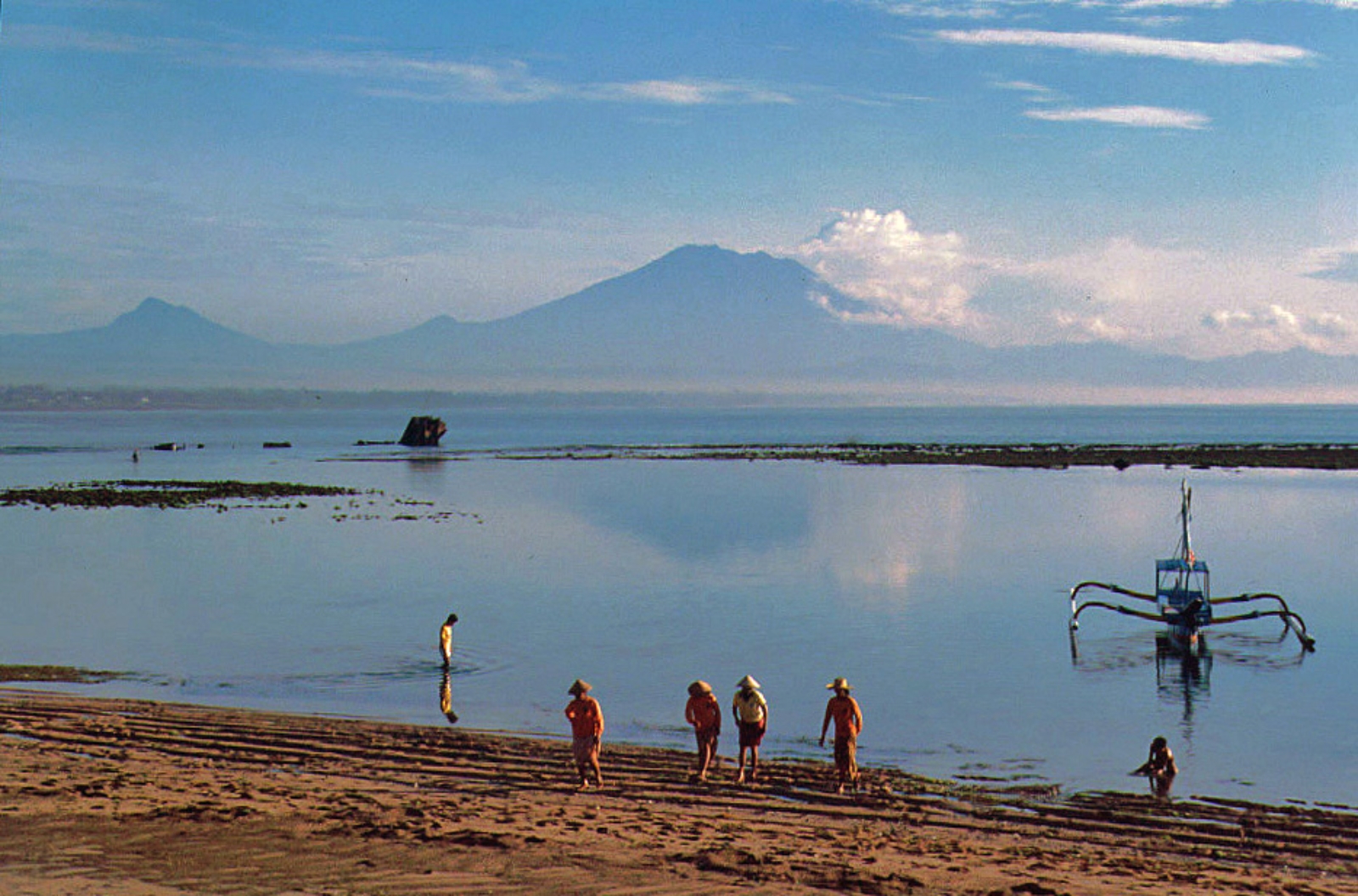
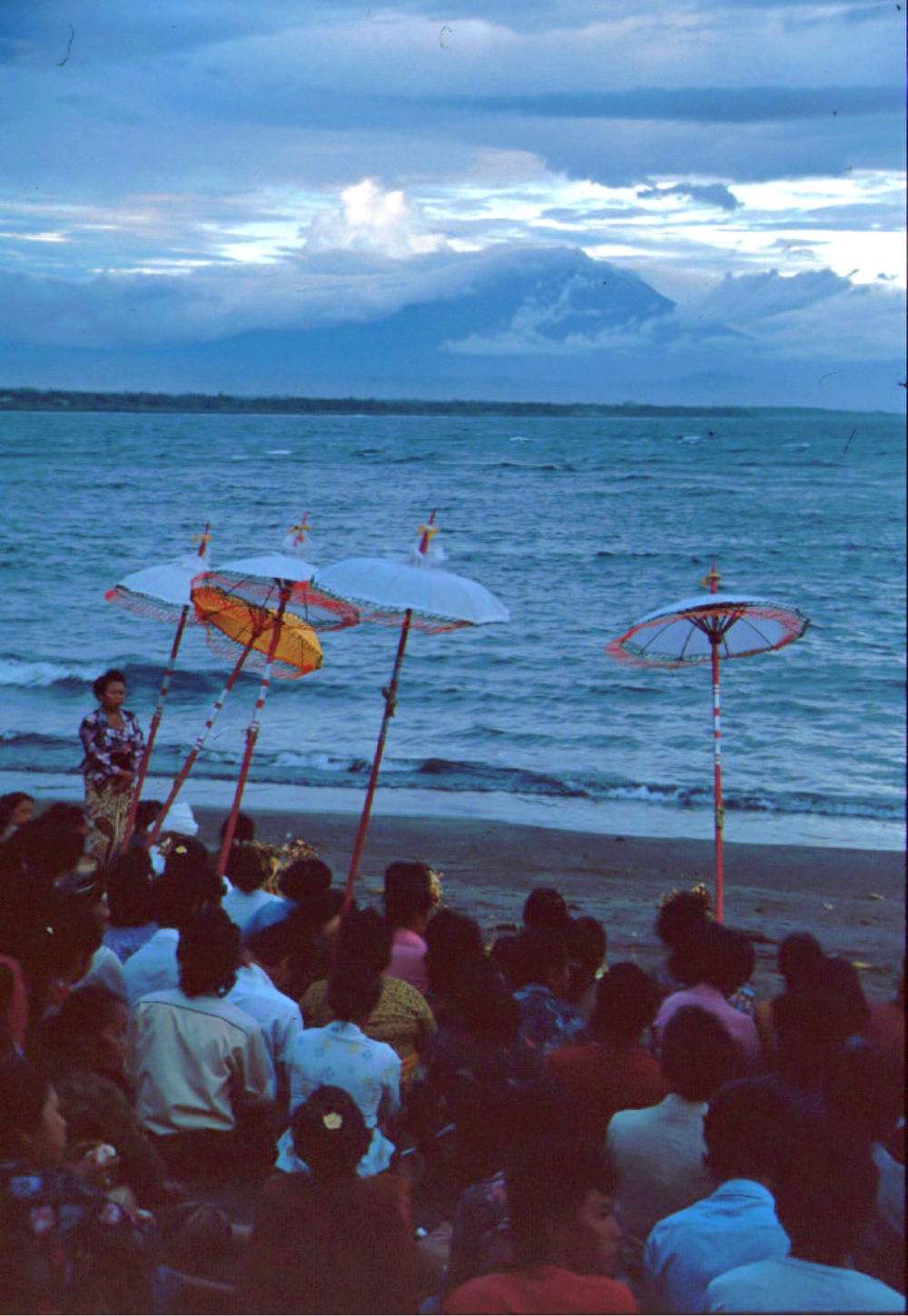
Symmetrical Agung stratovolcano, Bali's highest and most sacred mountain, towers over the eastern end of the island. The volcano, whose name means "Paramount," rises above the SE caldera rim of
neighboring Batur volcano, and the northern and southern flanks of Agung extend to the coast. The
3142-m-high summit contains a steep-walled, 500-m-wide, 200-m-deep crater. The flank cone Pawon is
located low on the SE side. Only a few eruptions dating back to the early 19th century have been
recorded in historical time. The 1963-64 eruption, one of the world's largest of the 20th century,
produced voluminous ashfall and devastating pyroclastic flows and lahars that caused extensive
damage and many fatalities. (Global Volcanism Program)
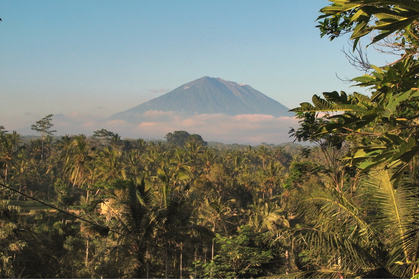
end of the island. The volcano, whose name means "Paramount," rises above the SE caldera rim of
neighboring Batur volcano, and the northern and southern flanks of Agung extend to the coast. The
3142-m-high summit contains a steep-walled, 500-m-wide, 200-m-deep crater. The flank cone Pawon is
located low on the SE side. Only a few eruptions dating back to the early 19th century have been
recorded in historical time. The 1963-64 eruption, one of the world's largest of the 20th century,
produced voluminous ashfall and devastating pyroclastic flows and lahars that caused extensive
damage and many fatalities. (Global Volcanism Program)


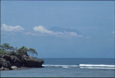
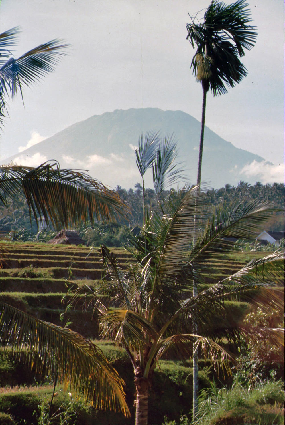
 Bali, Nov. 1988
HOME
Bali, Nov. 1988
HOME
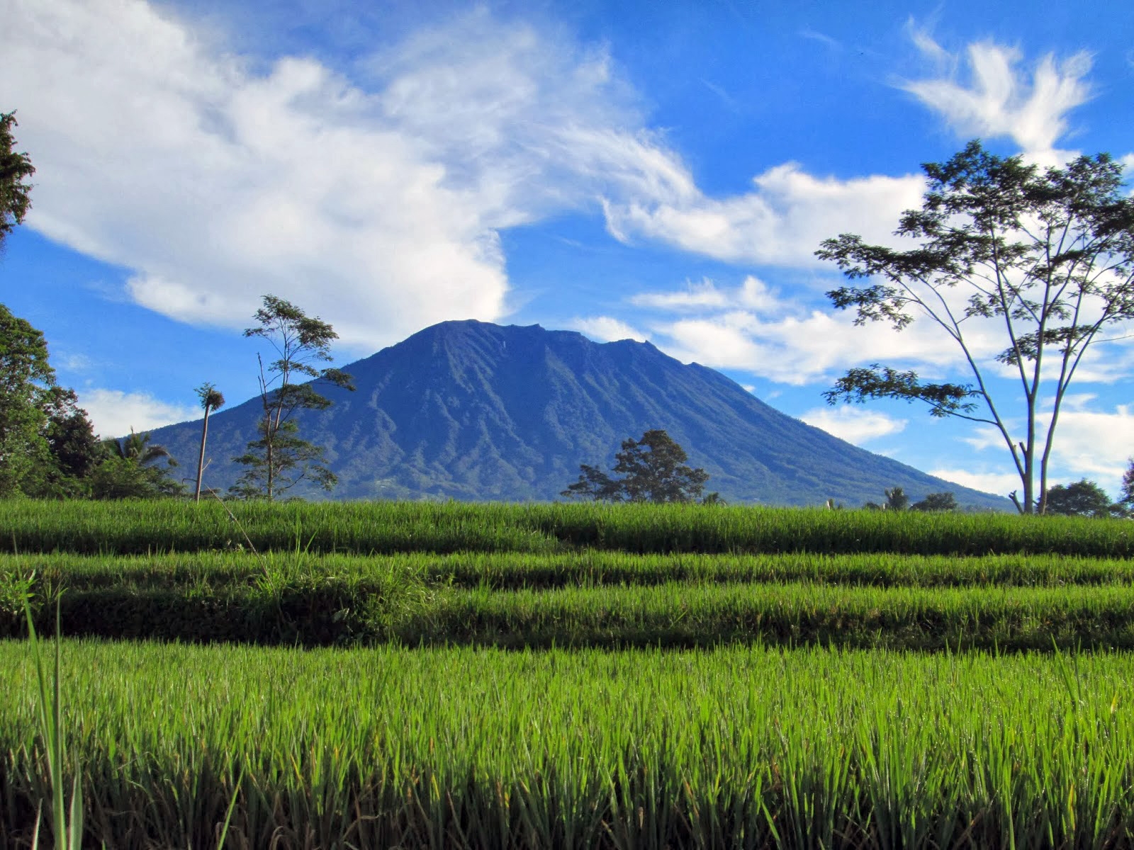
end of the island. The volcano, whose name means "Paramount," rises above the SE caldera rim of
neighboring Batur volcano, and the northern and southern flanks of Agung extend to the coast. The
3142-m-high summit contains a steep-walled, 500-m-wide, 200-m-deep crater. The flank cone Pawon is
located low on the SE side. Only a few eruptions dating back to the early 19th century have been
recorded in historical time. The 1963-64 eruption, one of the world's largest of the 20th century,
produced voluminous ashfall and devastating pyroclastic flows and lahars that caused extensive
damage and many fatalities. (Global Volcanism Program)
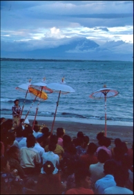
 Bali, Nov. 1988
HOME
Bali, Nov. 1988
HOME