


|
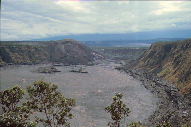
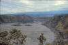
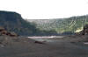
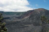
Kilauea Iki is a pit crater which is next to the main summit caldera of Kilauea. On November 14, 1959 a fissure opened up through the south wall of Kīlauea Iki and began to fill up the crater with a lava lake. Lava fountains formed a new cinder cone, named Pu'u Pua'i. Some of the most impressive parts of the eruption were the lava fountains that flowed from Puʻu Puaʻi. On November 21, some of the fountains were extraordinarily high, reaching nearly 580 m among the highest ever recorded. The eruption stopped on December 20, 1959. Only 8 million cubic meters of lava remained, 63 million cubic meters of lava drained back into Kīlauea magma reservoir. Often the lava drainback had a higher rate of flow than the eruption.