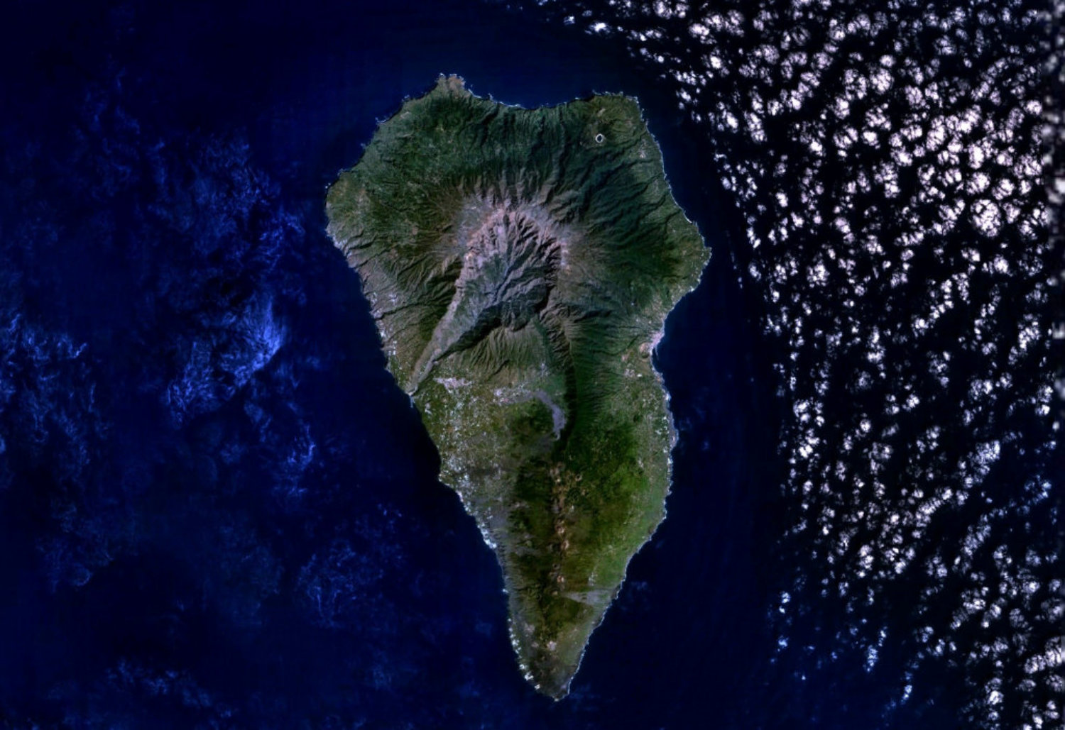
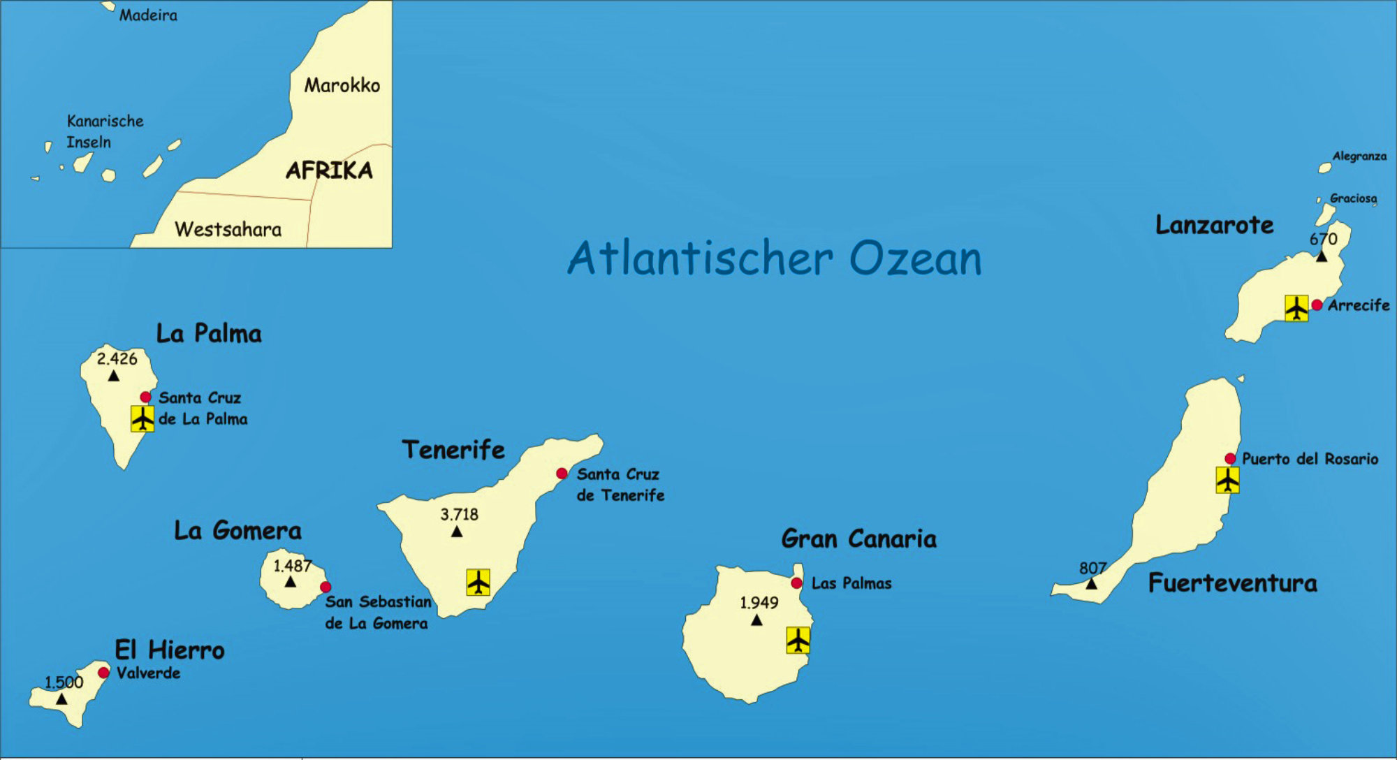
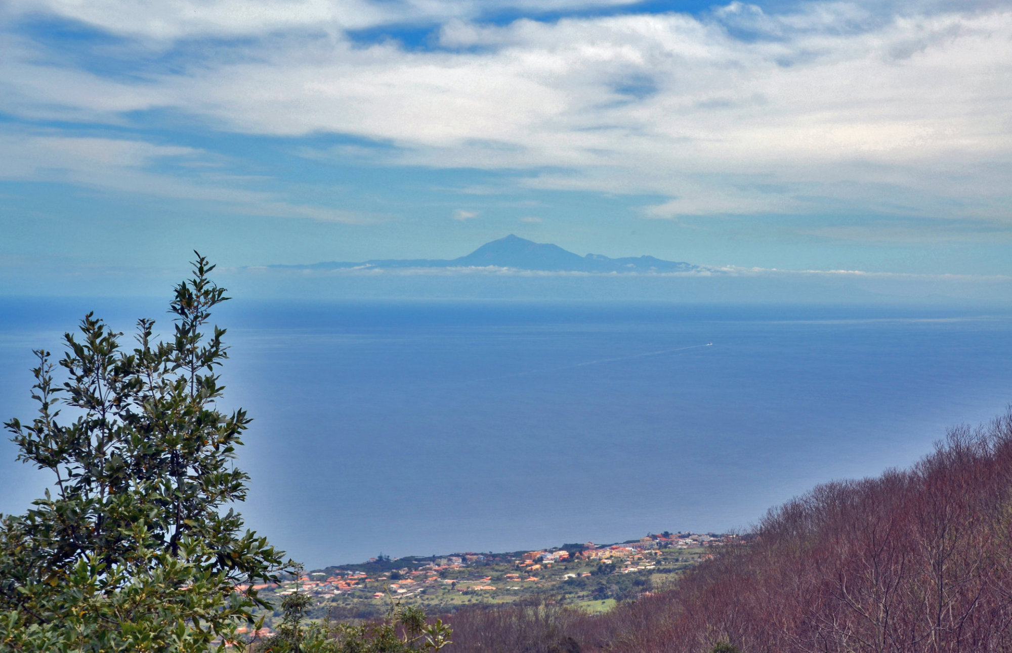
La Palma
Coodinates 28° 40‘ N, 17° 52‘ W
Elivation 2.426 m
La Palma
, like the other islands of the Canary Island archipelago, is a volcanic ocean islands.
The
volcano
rises
almost
7
km
above
the
floor
of
the
Atlantic
Ocean.
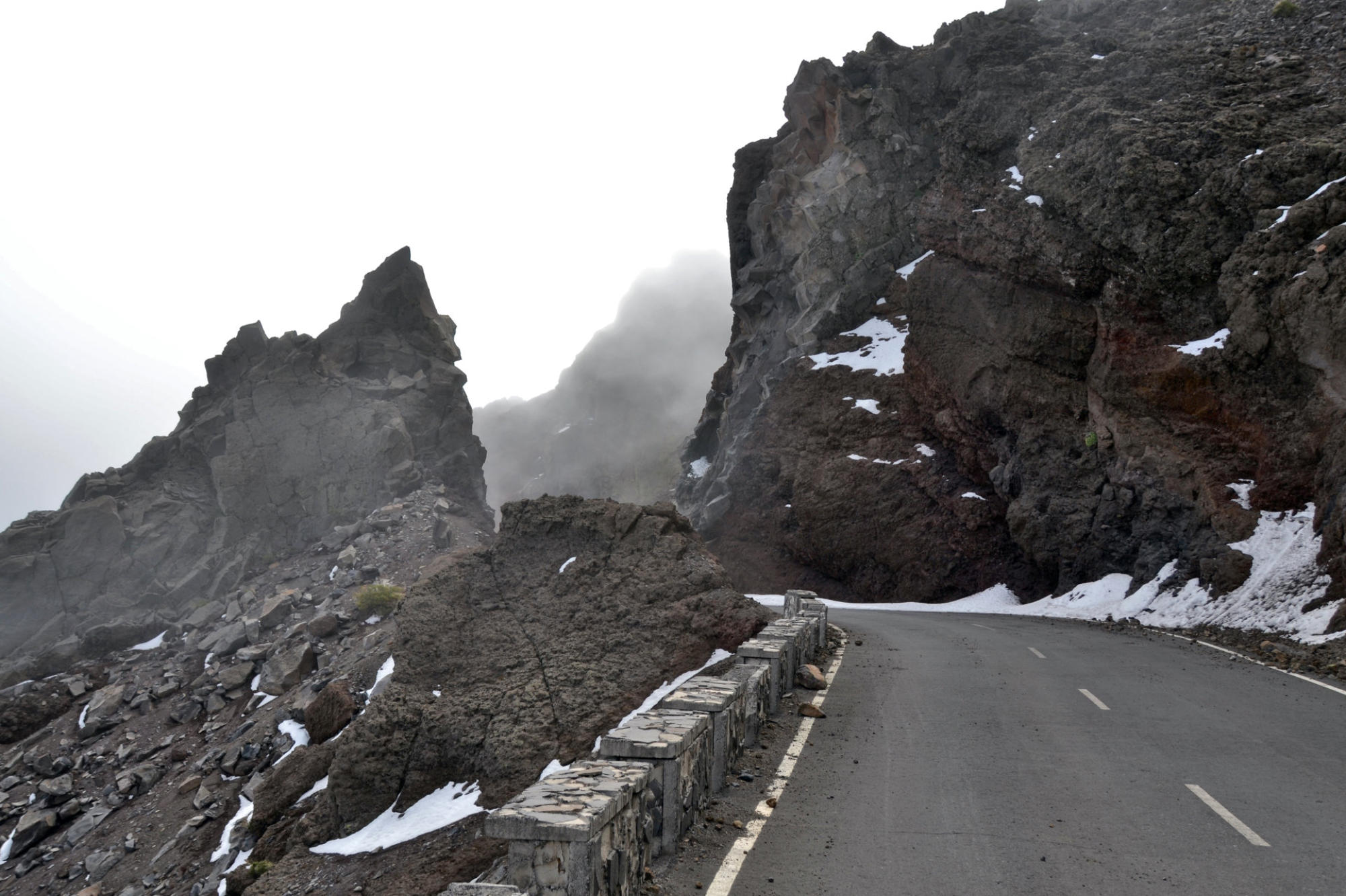
There
is
road
access
from
sea
level
to
the
summit
at
2,426
m,
which
is
marked
by
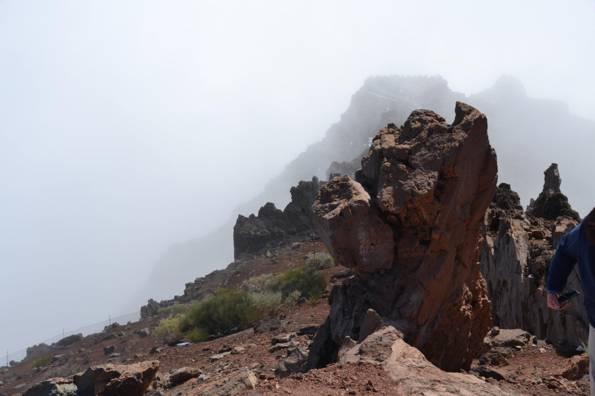
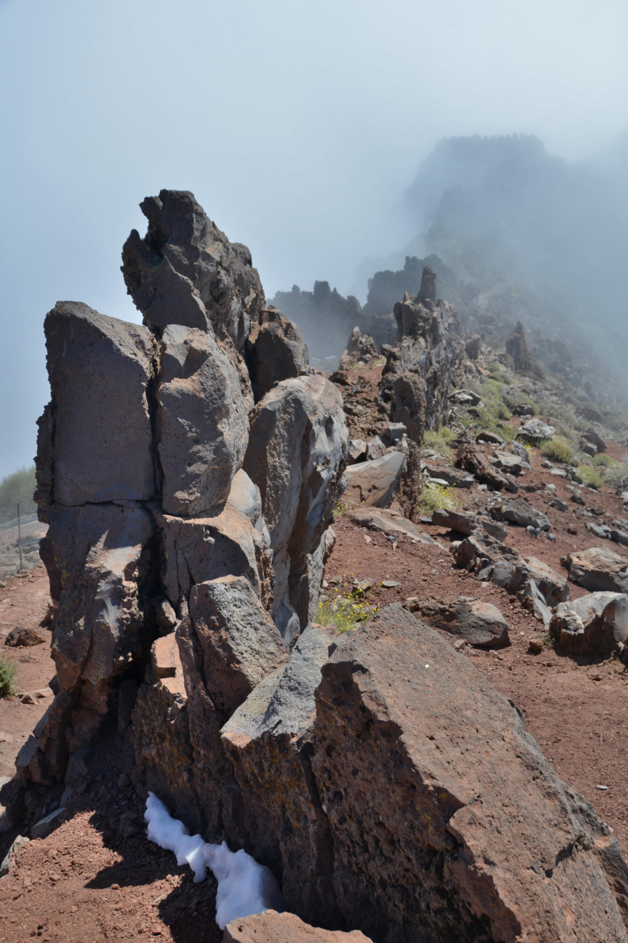
an
outcrop
of
rocks
called
Los
Muchachos.
This
is
the
site
of
the
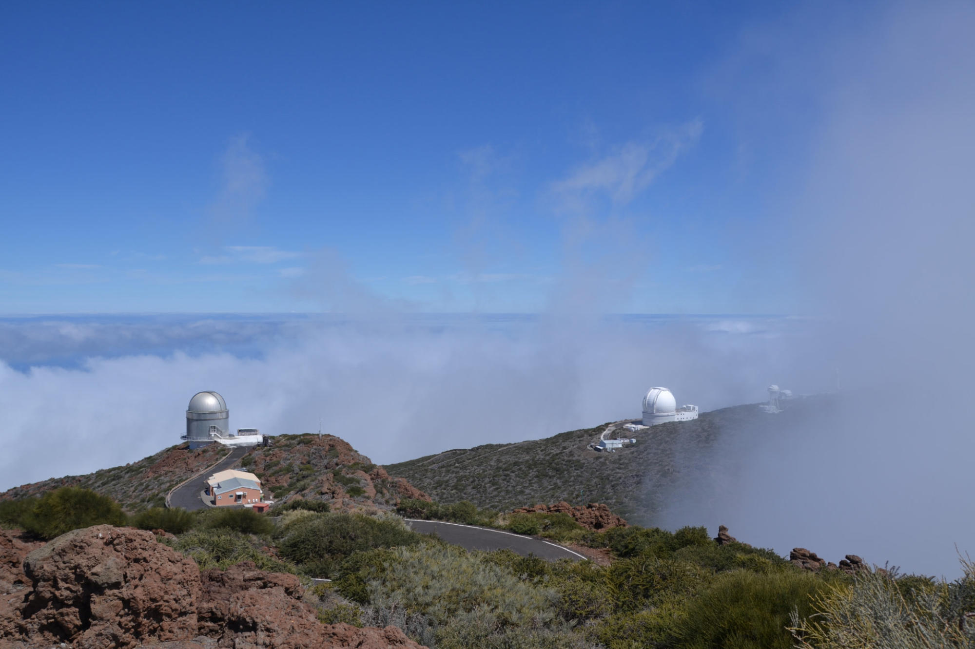
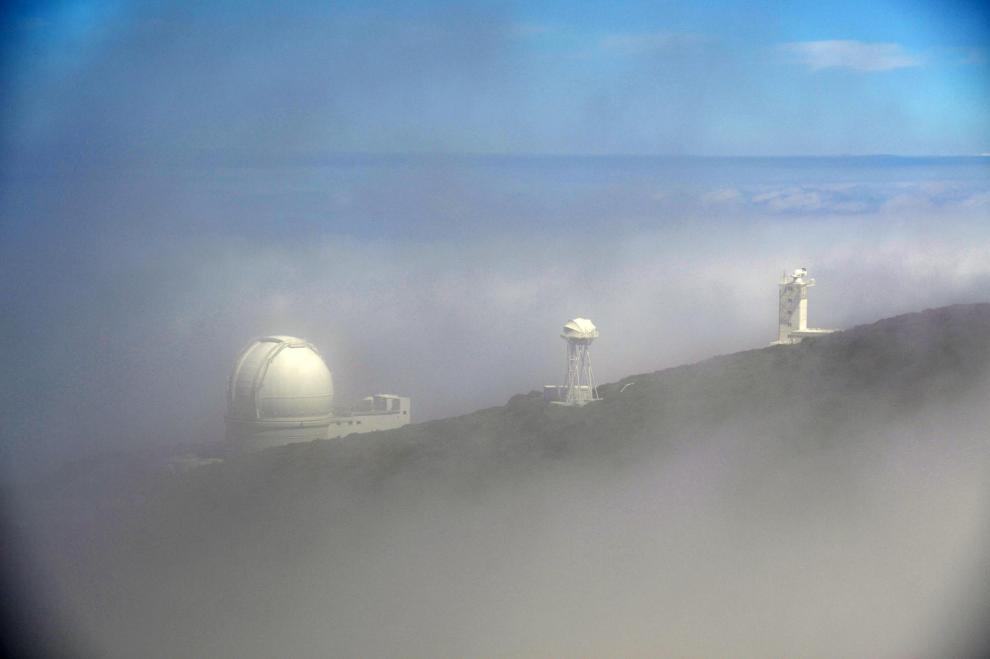
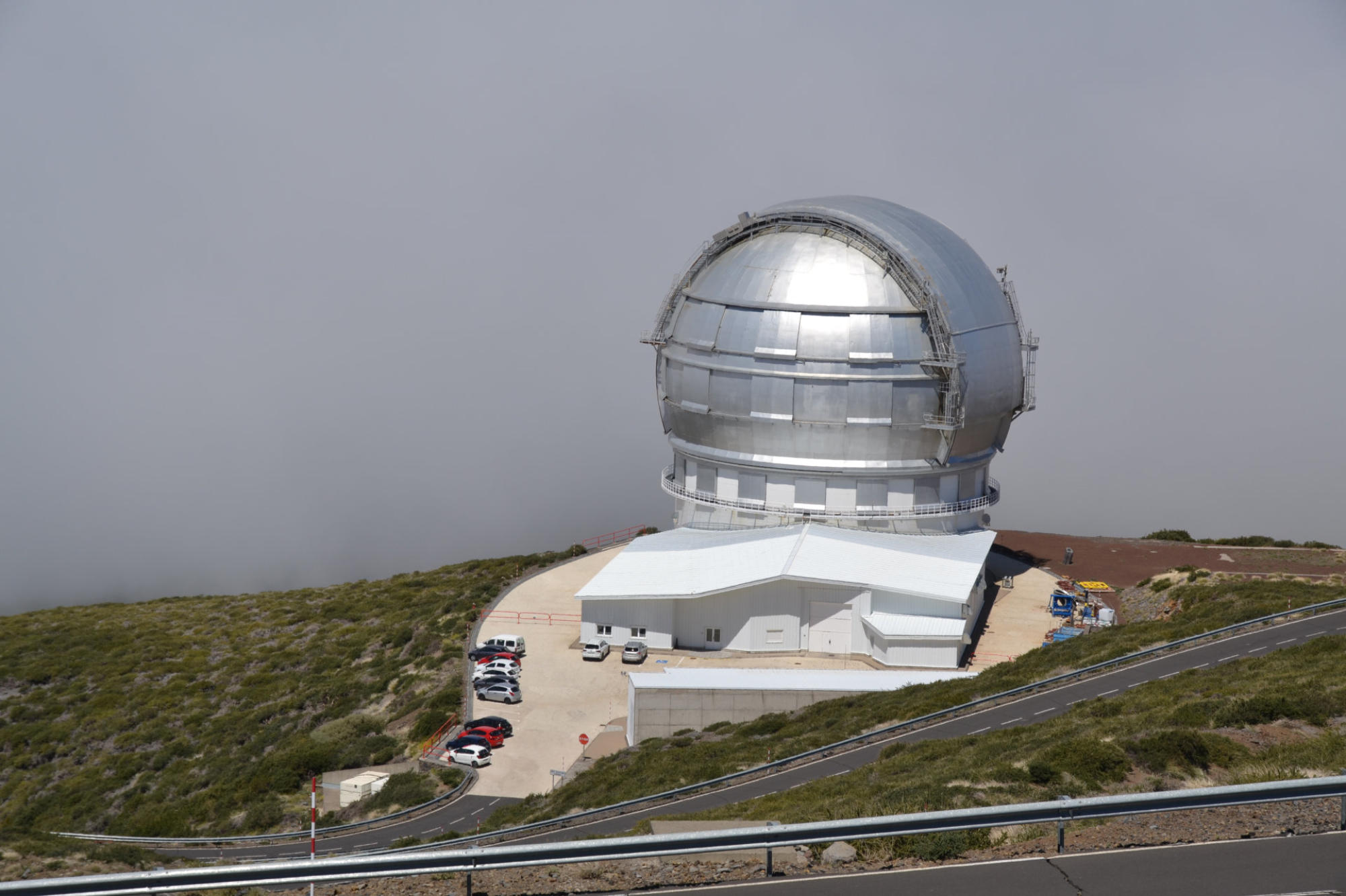
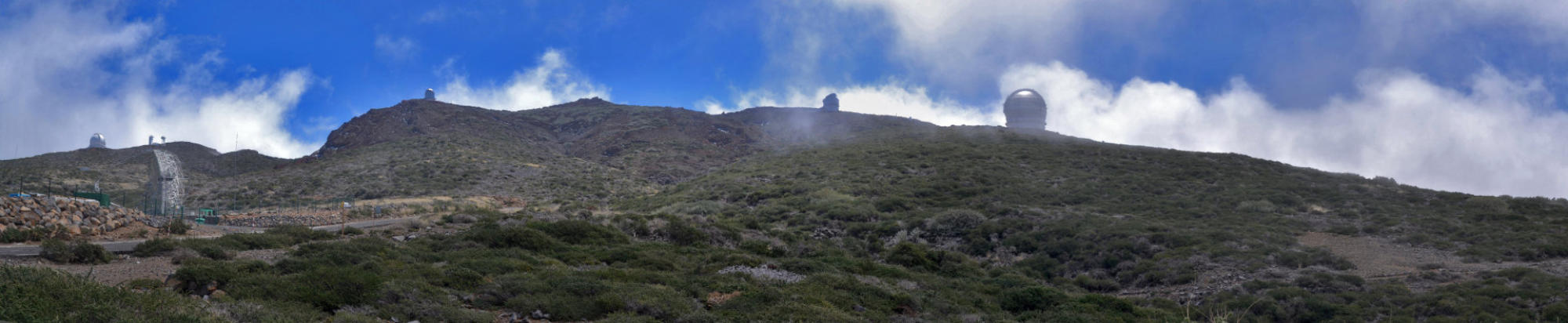
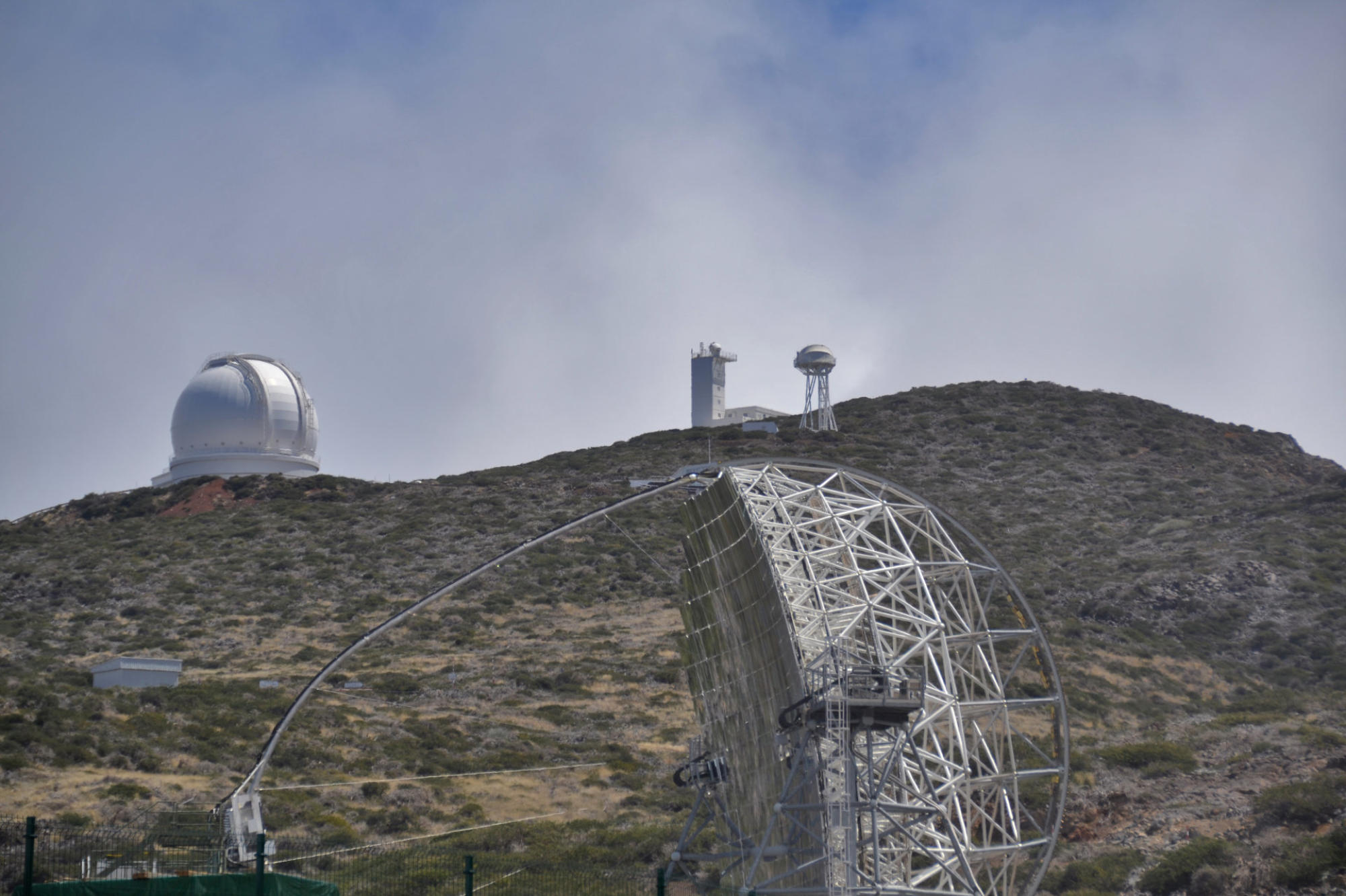
Roque
de los Muchachos Observatory, one of the world's premier astronomical observatories.
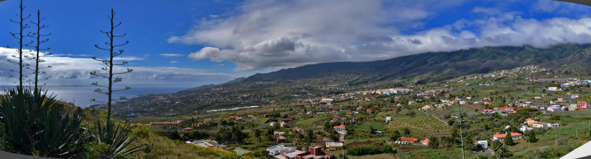
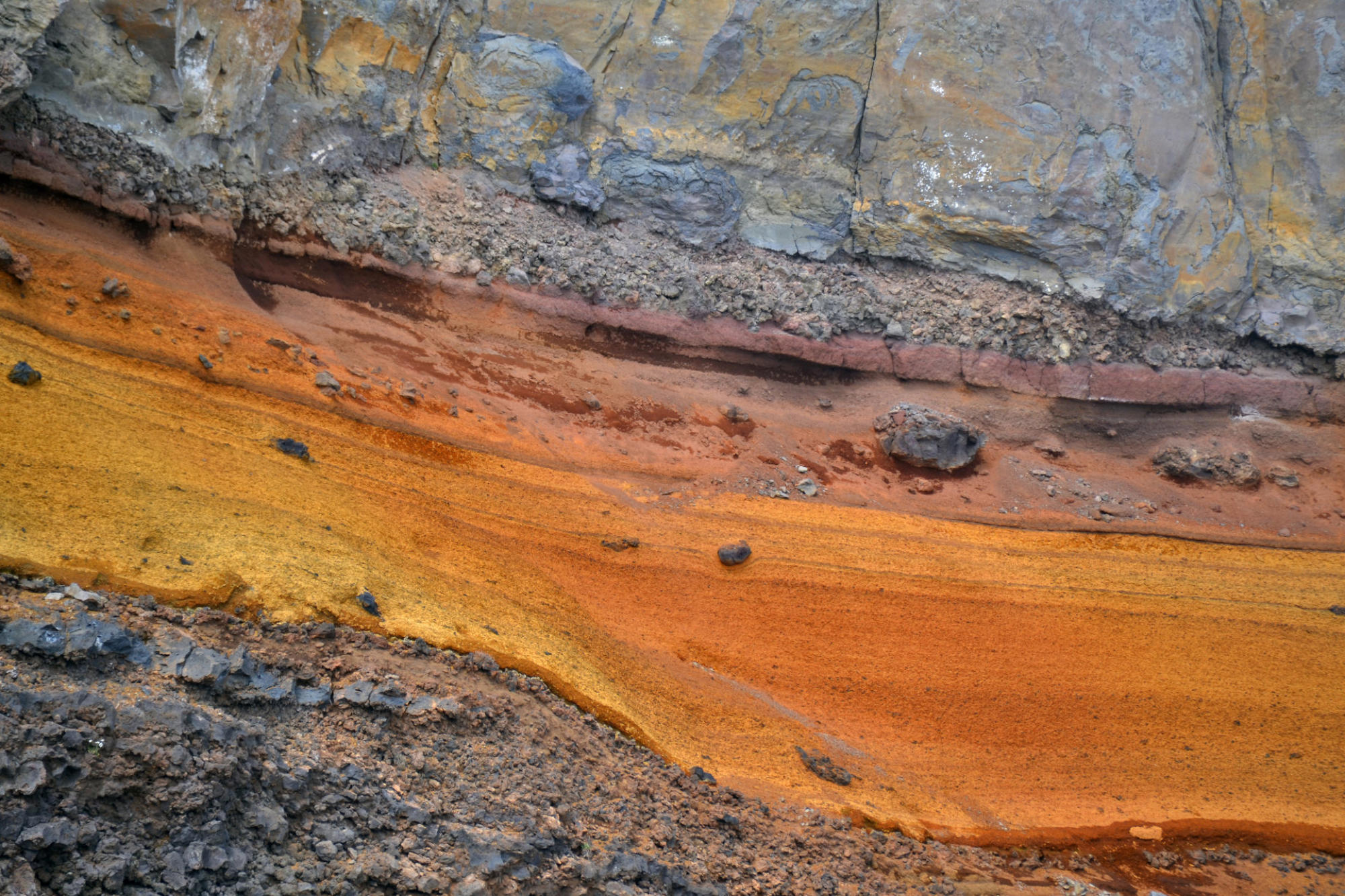
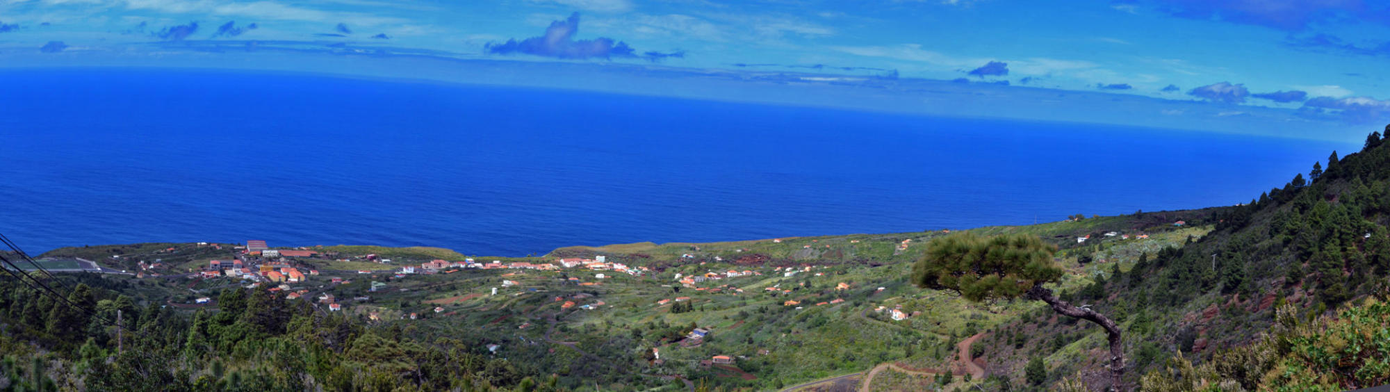
La
Palma's
geography
is
a
result
of
the
volcanic
formation
of
the
island.
The
highest
peaks
reach
over
2,400
m
above
sea
level,
and
the
base
of
the
island
is
located
almost
4,000
m
below
sea
level.
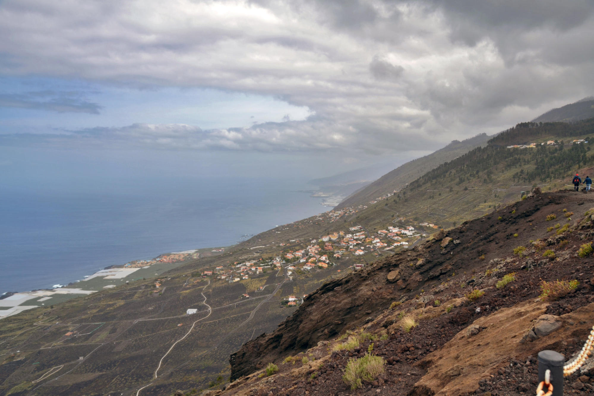
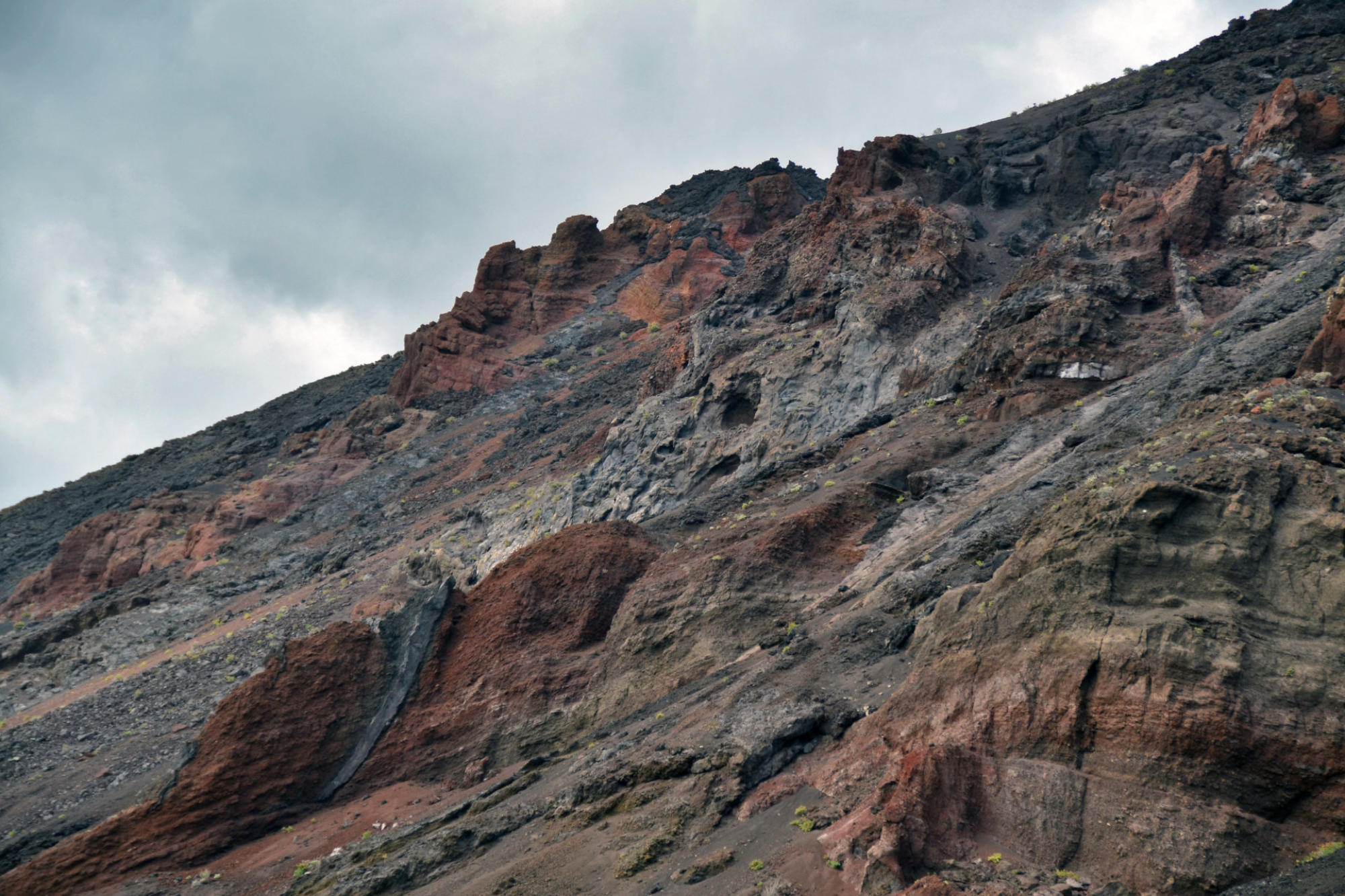
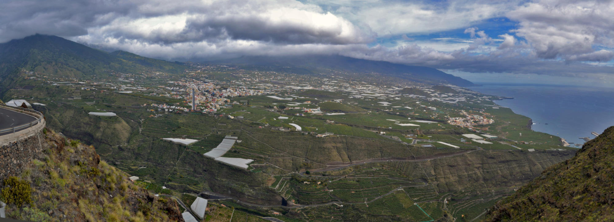
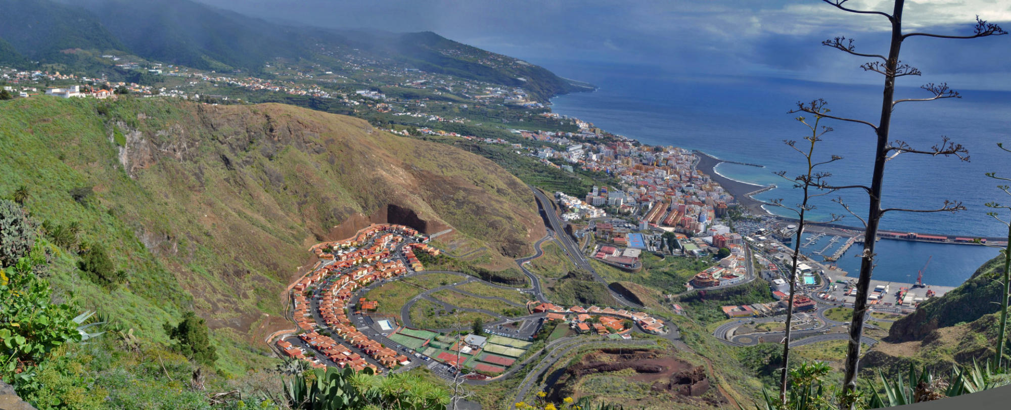
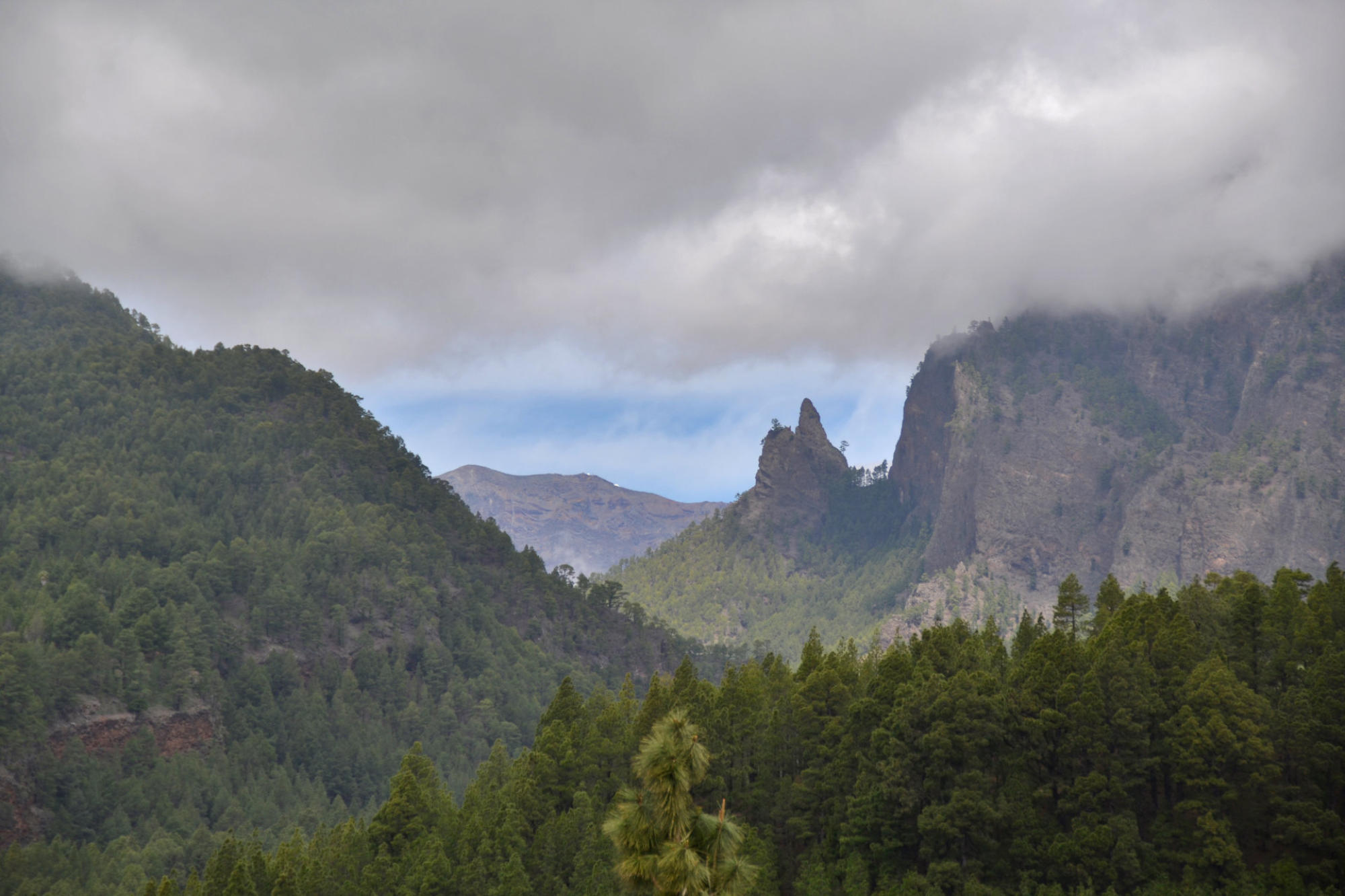
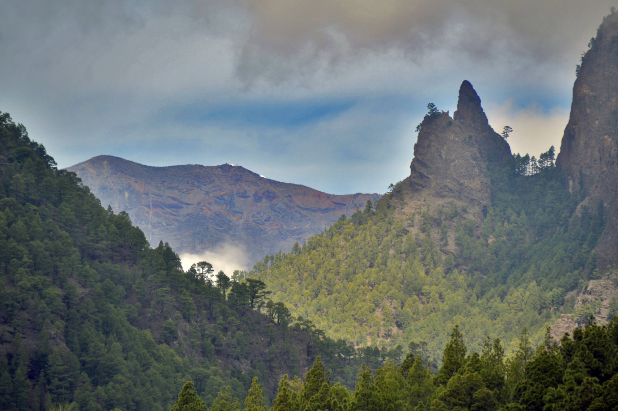
The
northern
part
of
La
Palma
is
dominated
by
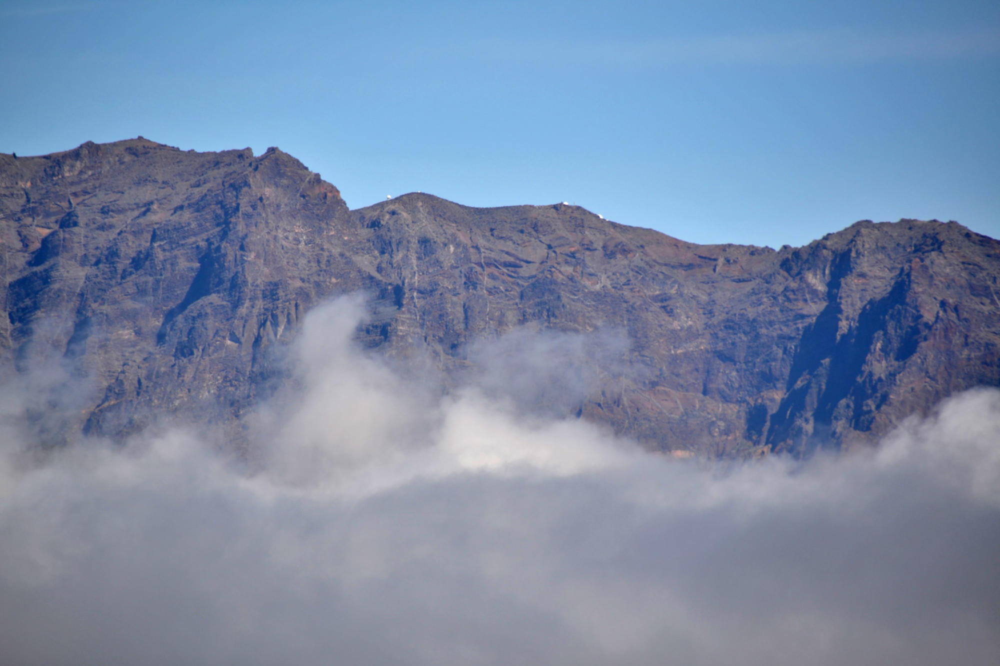
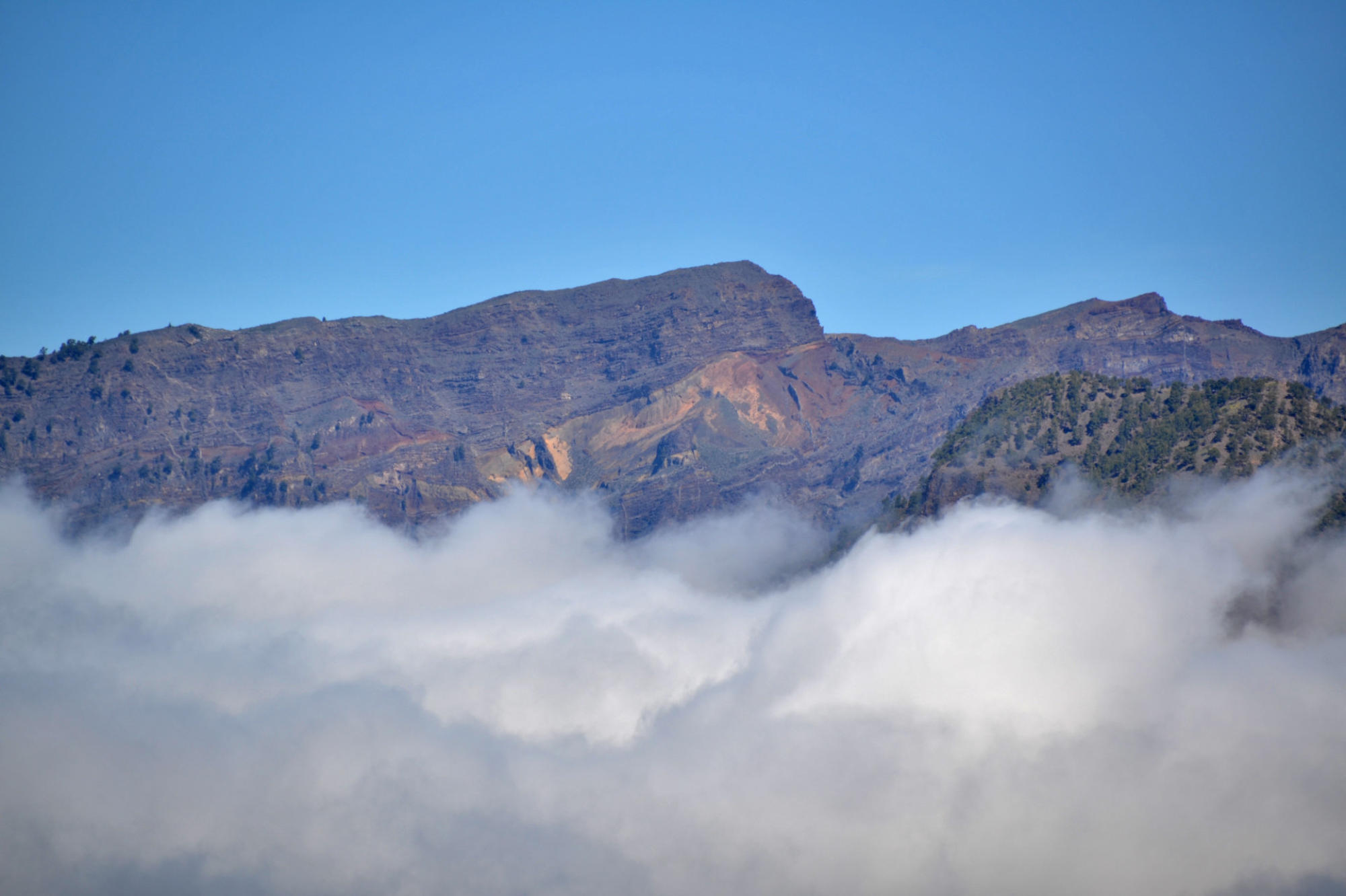
the
Caldera
Taburiente,
with
a
width
of
9
km
and
a
depth
of
1,500
m.
It
is
surrounded
by
a
ring
of
mountains
ranging
from
1,600
m
to
2,400
m
in
height.
On
its
northern
side
is
the
exposed
remains
of
the
original
seamount.
Only
the
deep
Barranco
de
las
Angustias
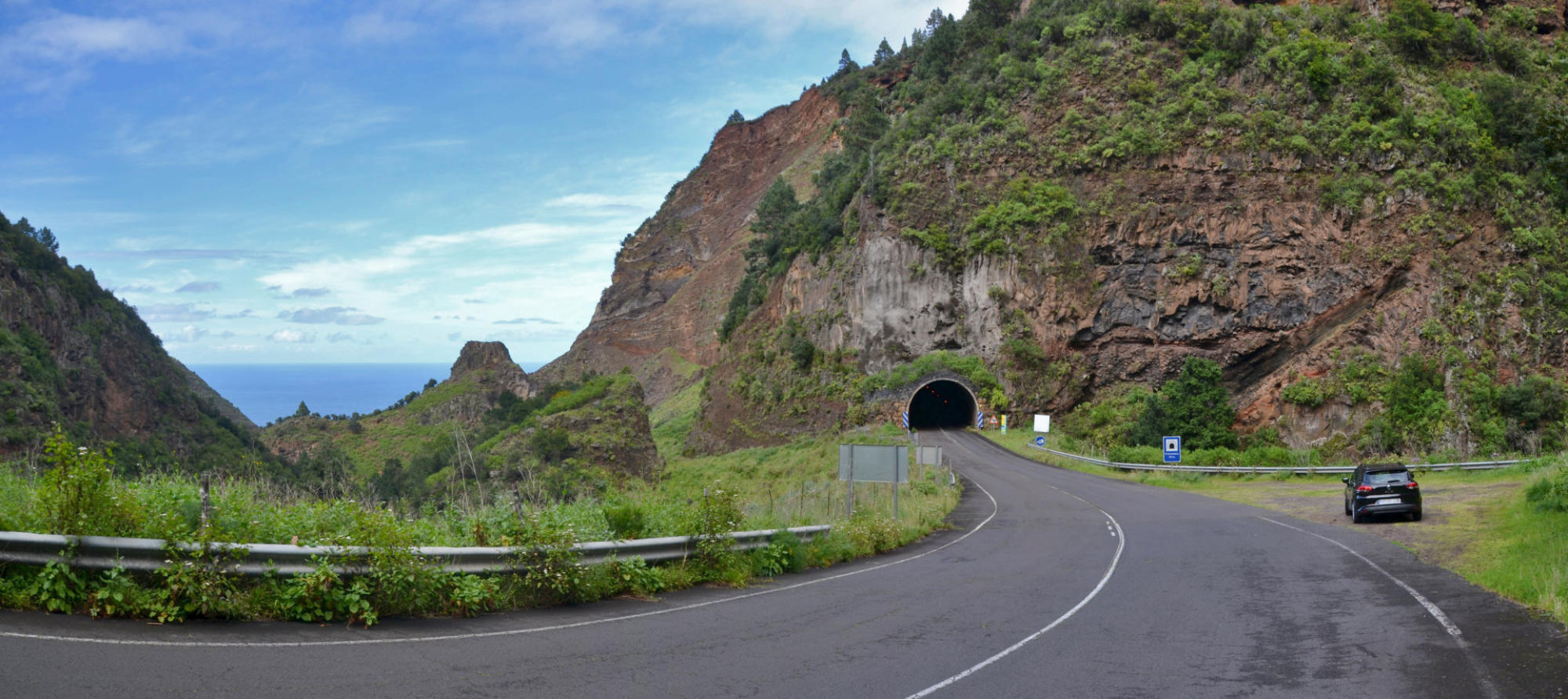
ravine leads into the inner area of the caldera, which is a national park.
It
can
be
reached
only
by
hiking.
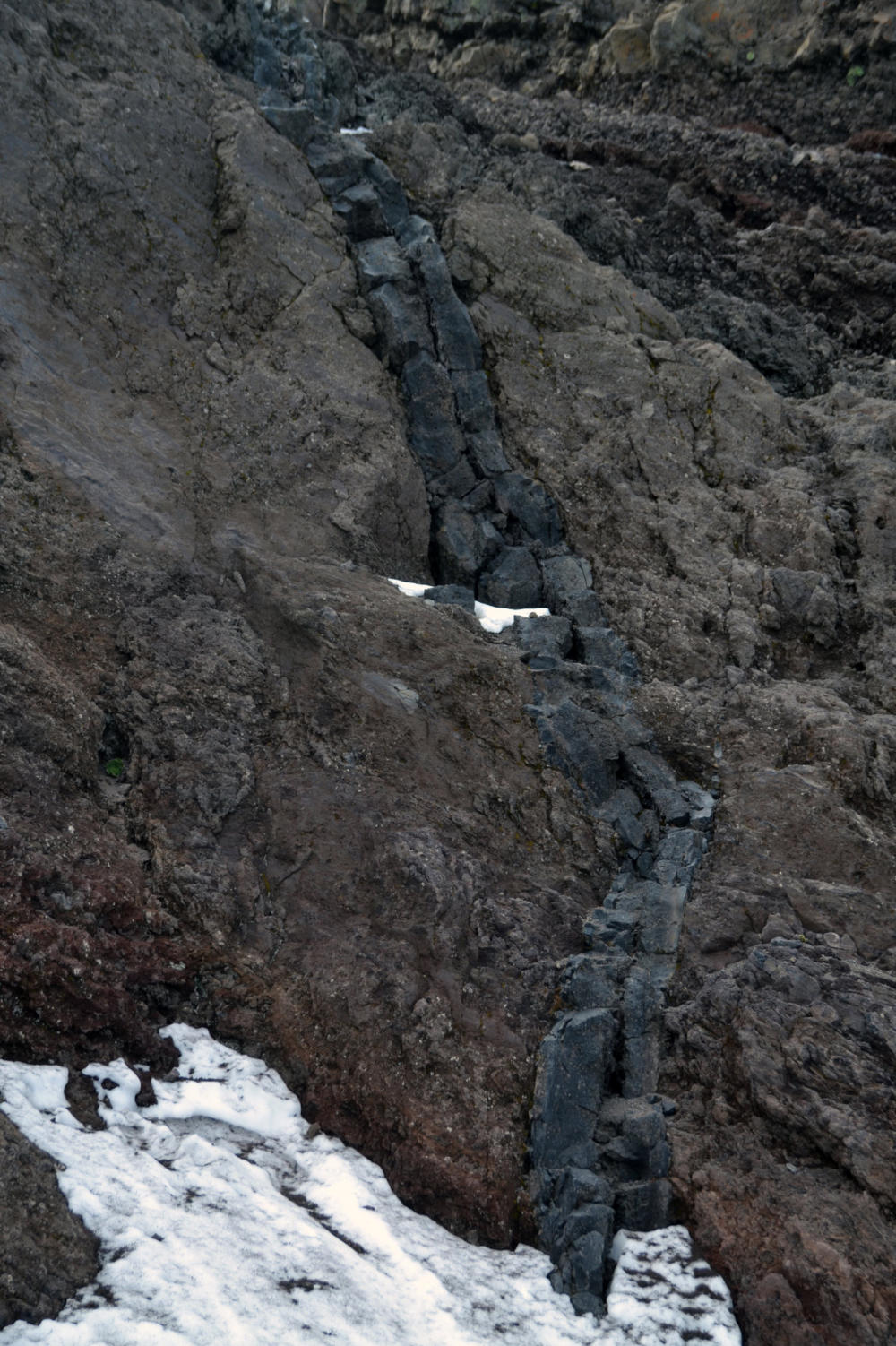
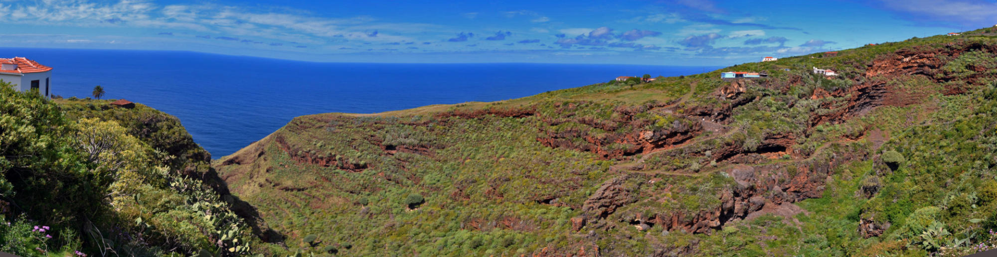
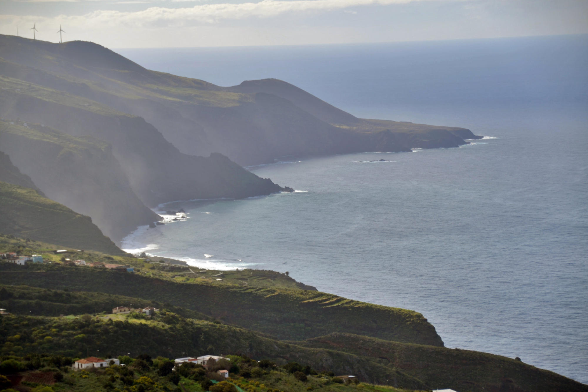
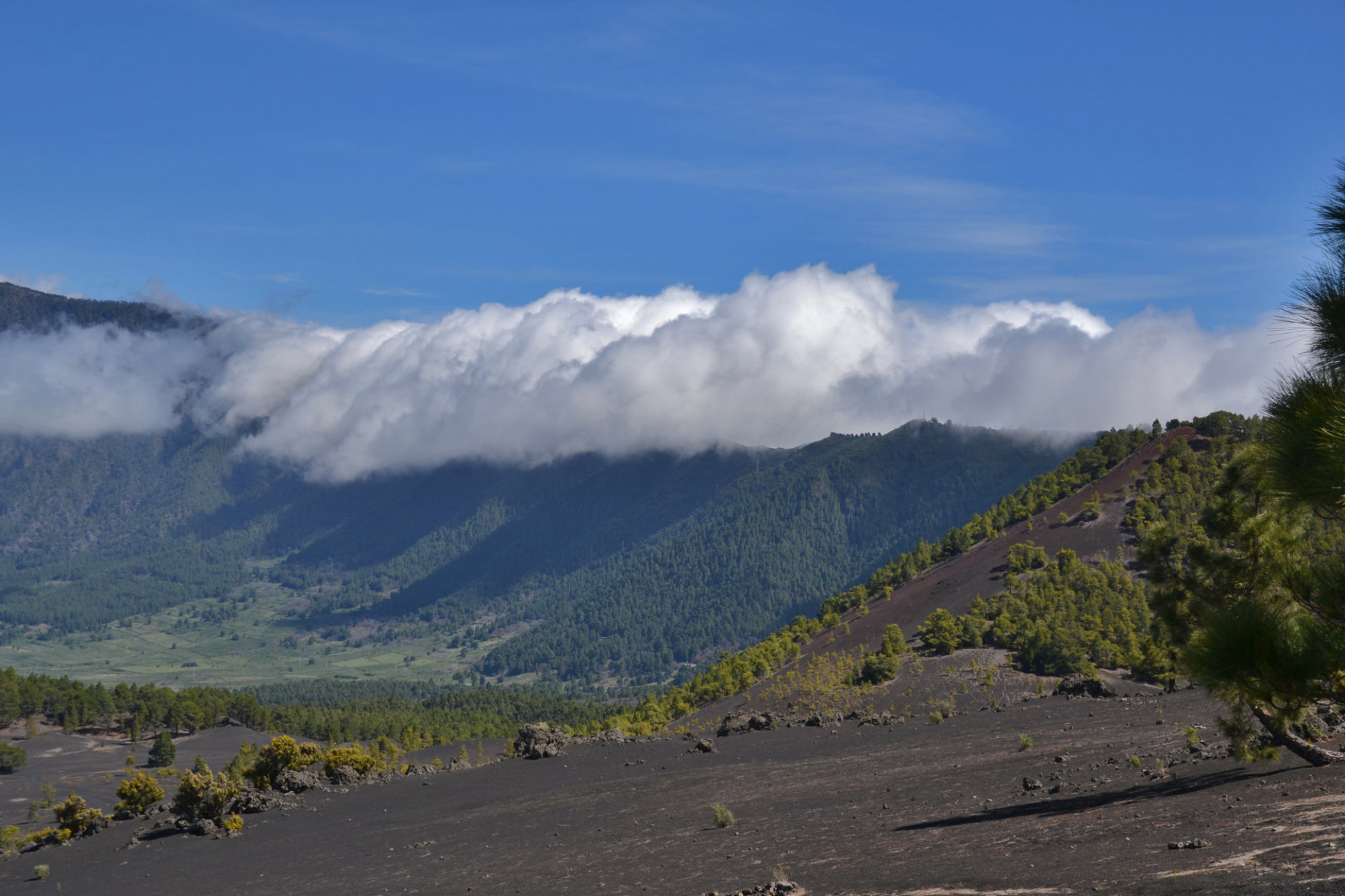
The
outer
slopes
are
cut
by
numerous
gorges
which
run
from
2,000
m
down
to
the
sea.
Today,
only
few
of
these
carry
water
due
to
the
many water tunnels that have been cut into the islands structure.
From
the
Caldera
de
Taburiente
to
the
south
runs
the
ridge
Cumbre
Nueva.
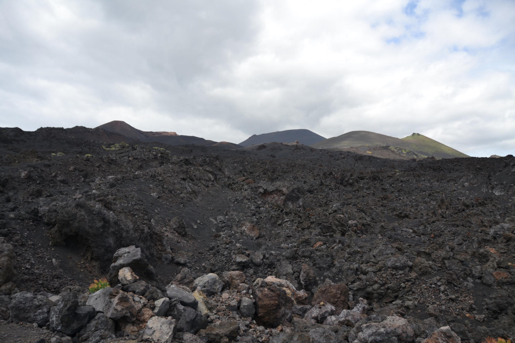
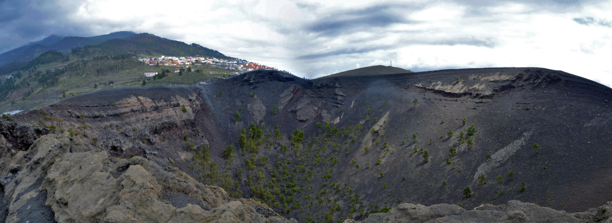
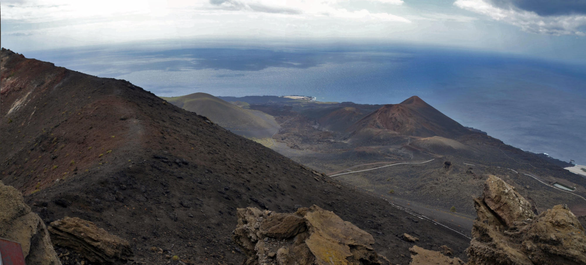
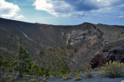
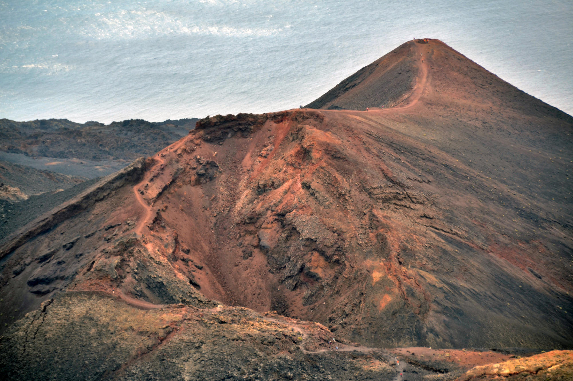
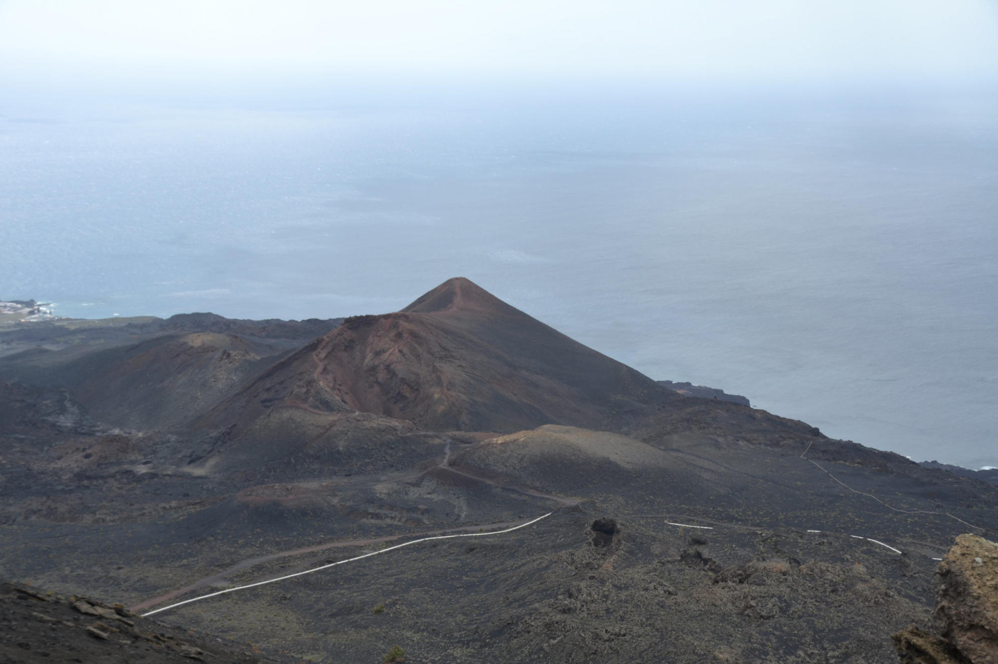
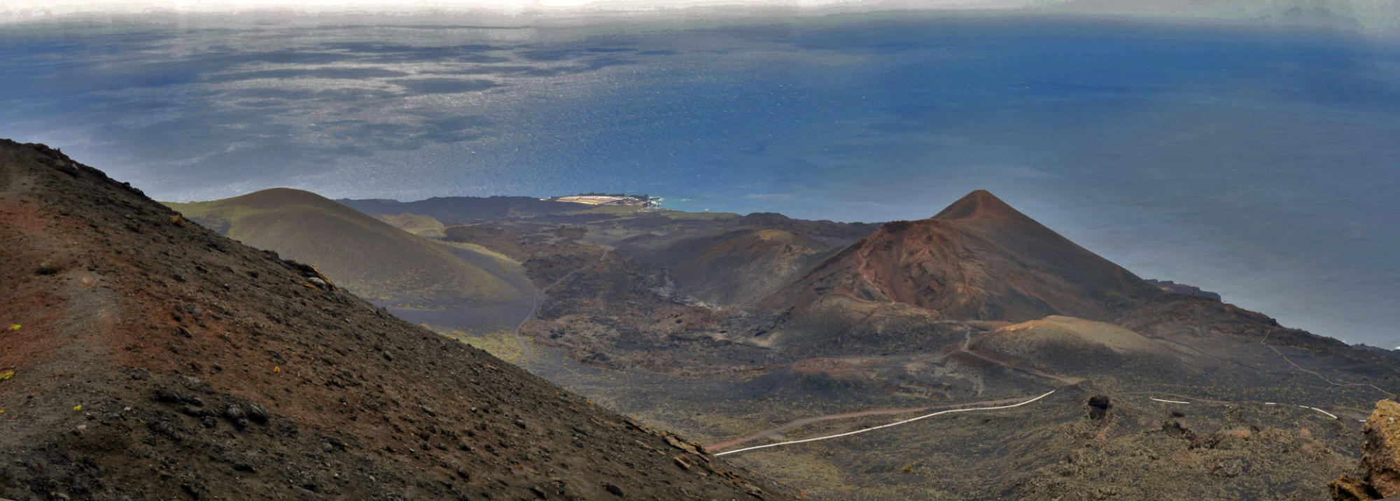
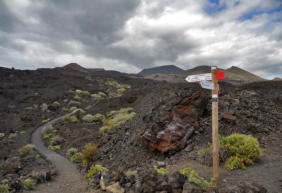
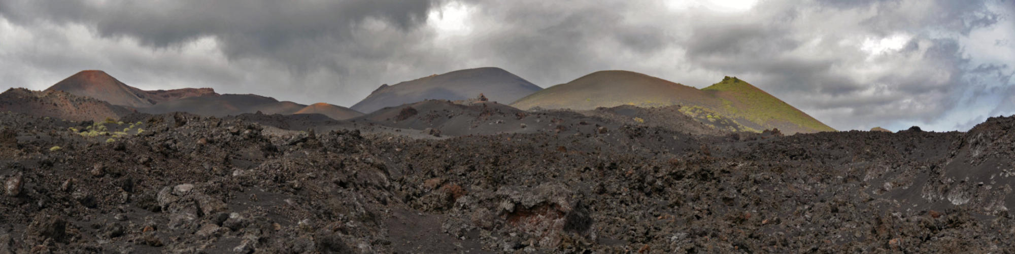
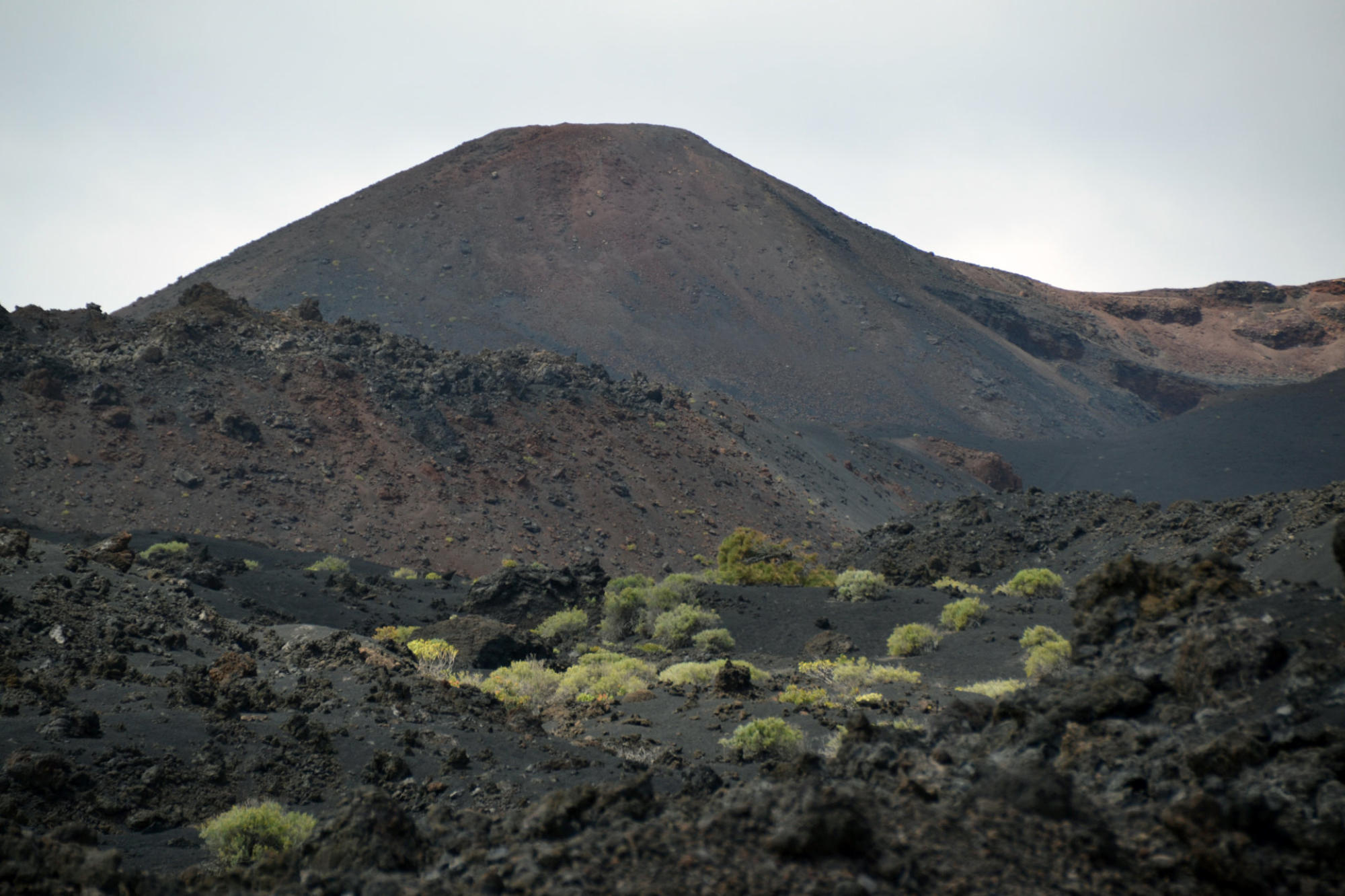
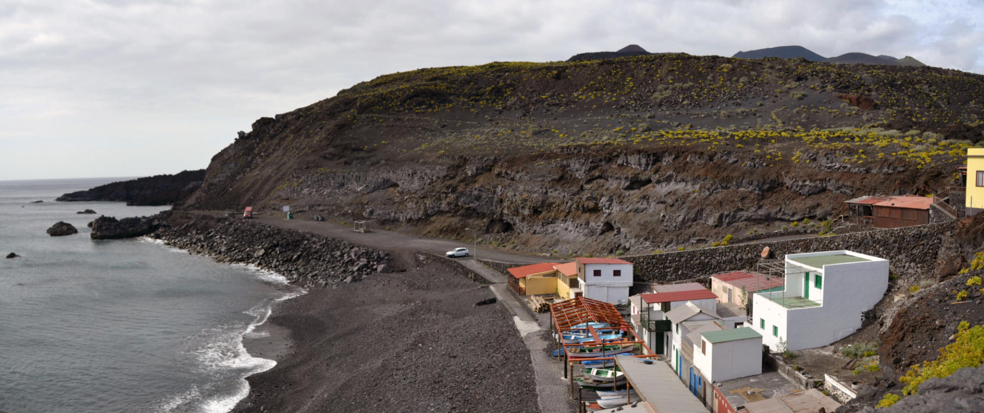
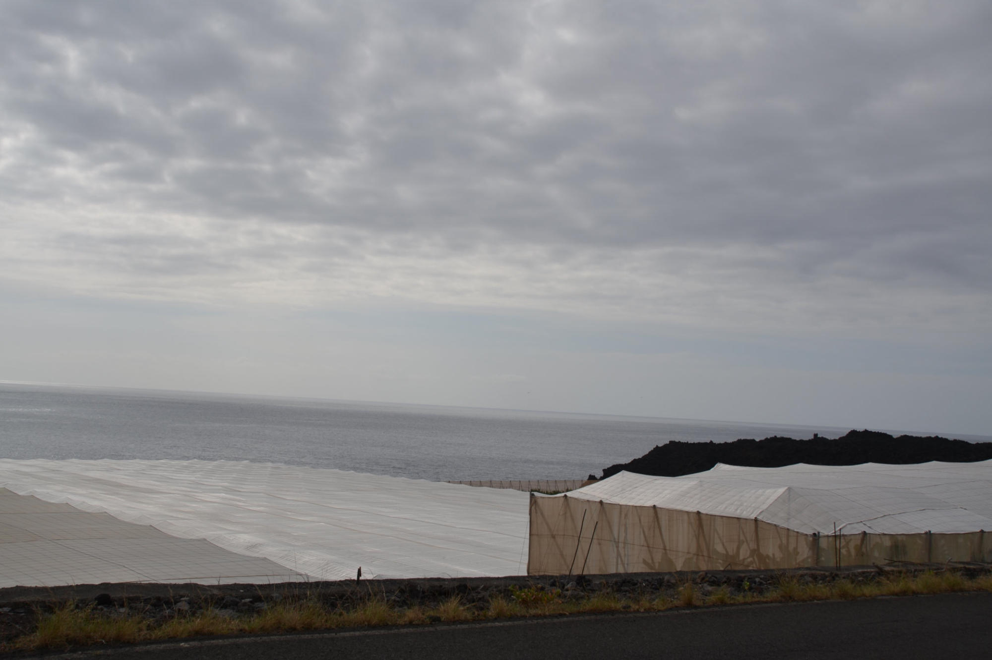
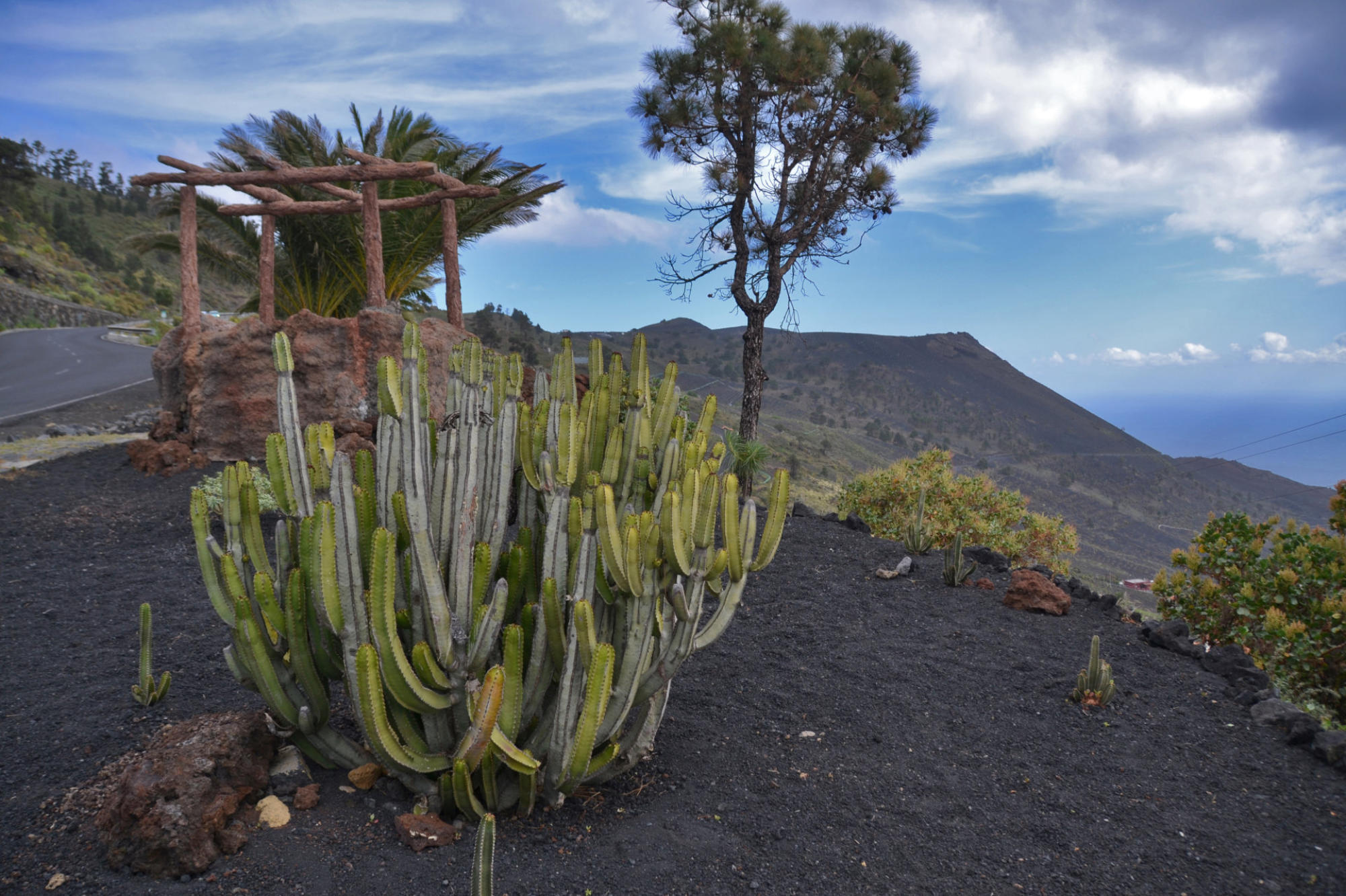
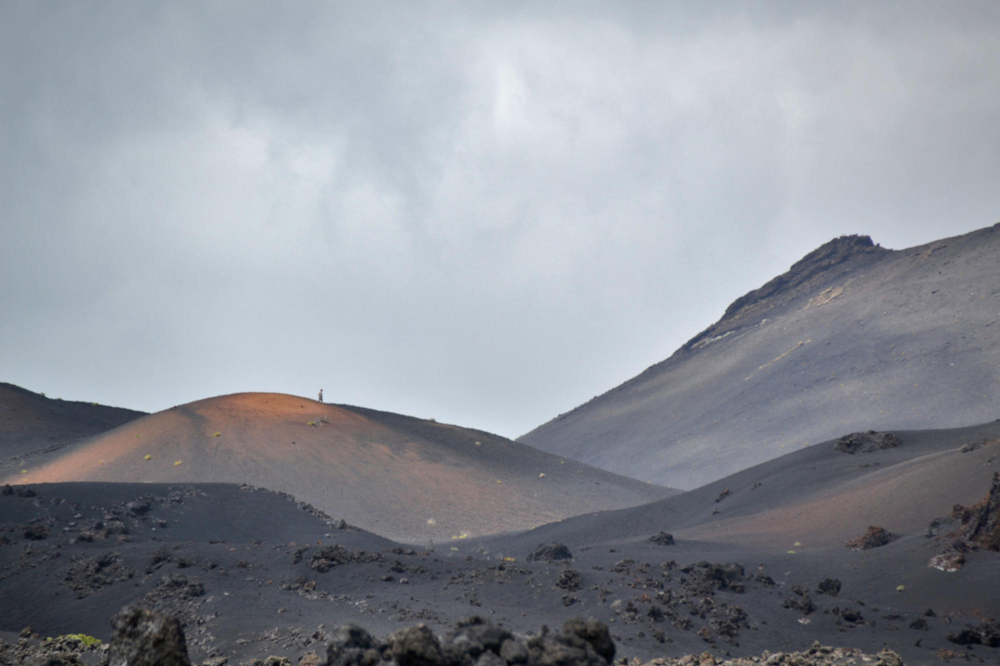
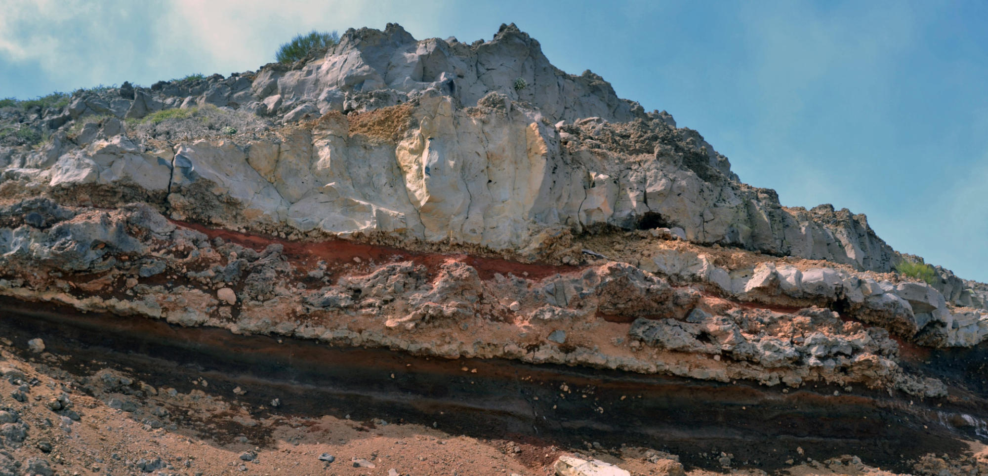
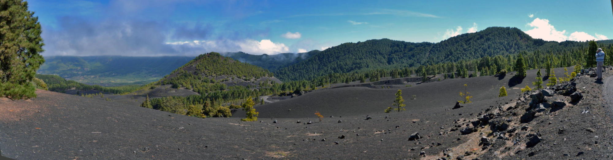
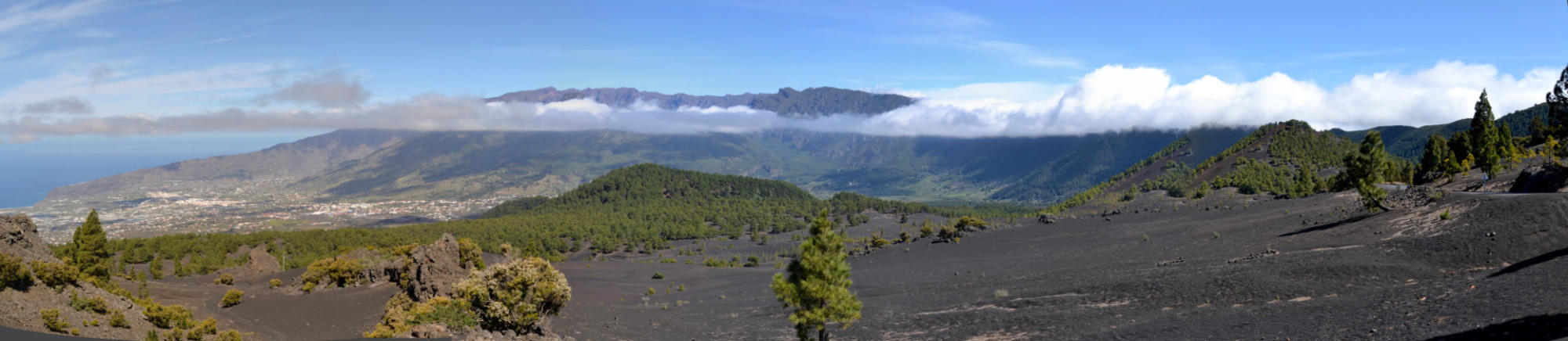
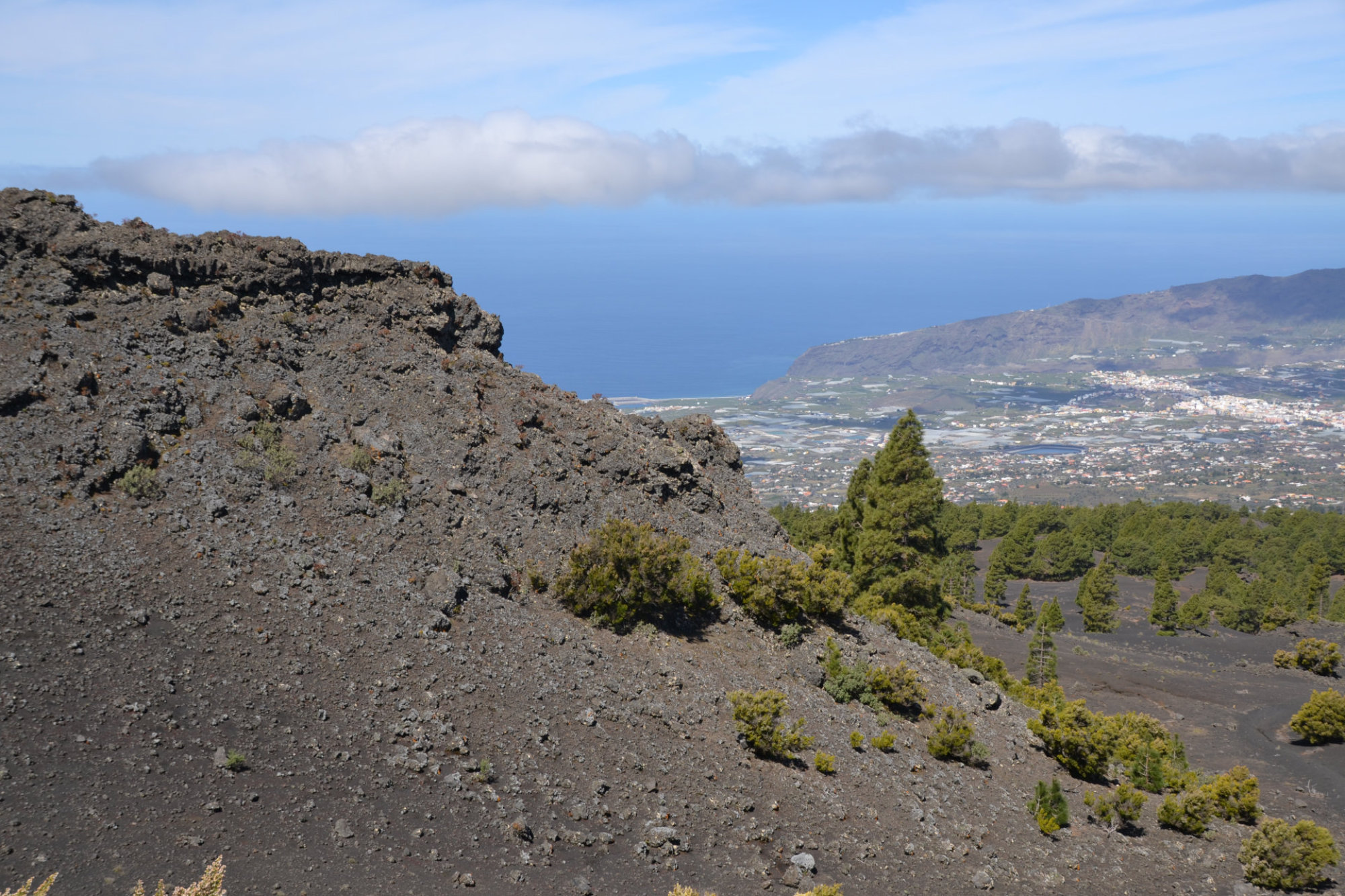
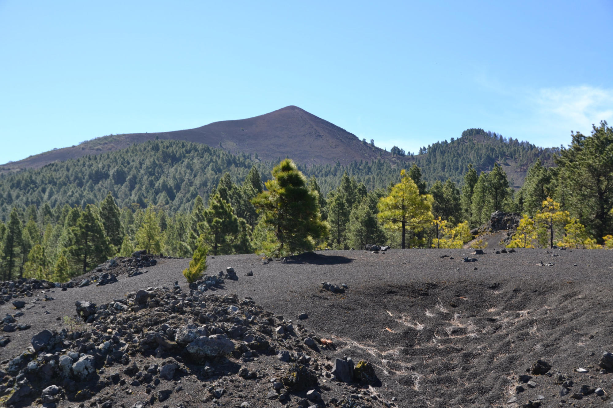
The
southern
part
of
La
Palma
consists
of
the
Cumbre
Vieja,
a
volcanic
ridge
formed
by
numerous
volcanic
cones
built
of
lava
and
scoria.
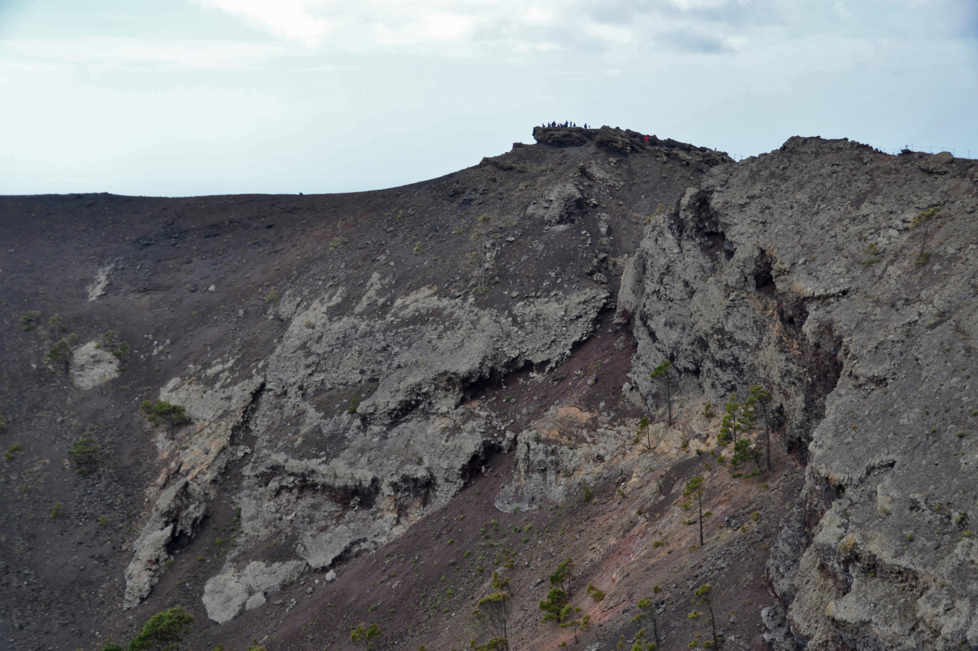
The
Cumbre
Vieja
is
active
–
but
dormant,
with
the
last
eruption
occurring
in
1971
at
the
Teneguía
vent
which
is
located
at
the
southern
end
of
the
Cumbre
Vieja
–
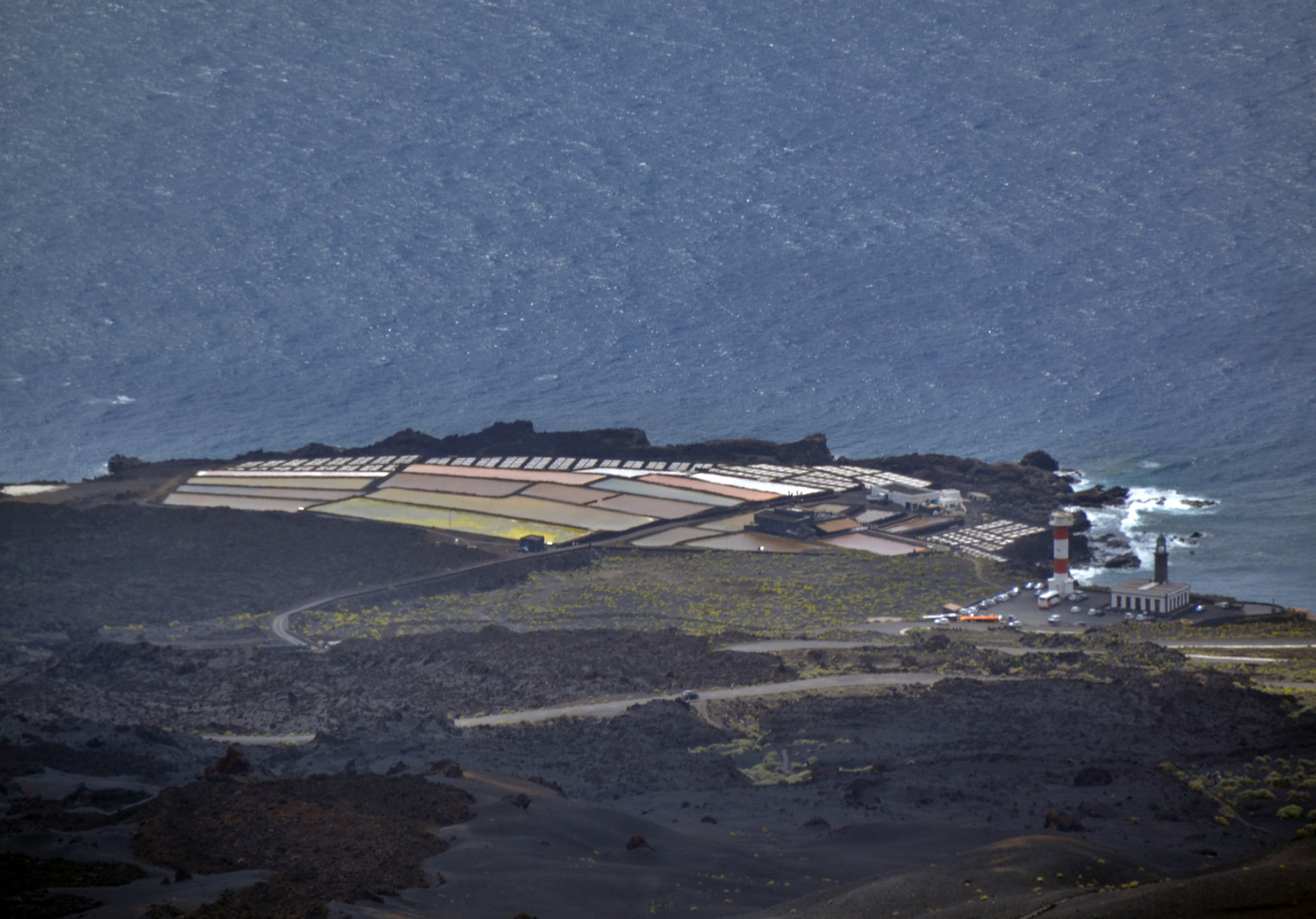
Punta
de
Fuencaliente.
Beyond
Punta
de
Fuencaliente,
the
Cumbre
Vieja
continues
in
a
southerly
direction
as
a
submarine
volcano.
Since
the
Spanish
occupation,
there
have
been
seven
eruptions
–
all
of
which
have
occurred
on
the
Cumbre
Vieja:
1470–1492
Montaña
Quemada
.
1585
Tajuya
near
El
Paso
.
1646
Volcán
San
Martin
.
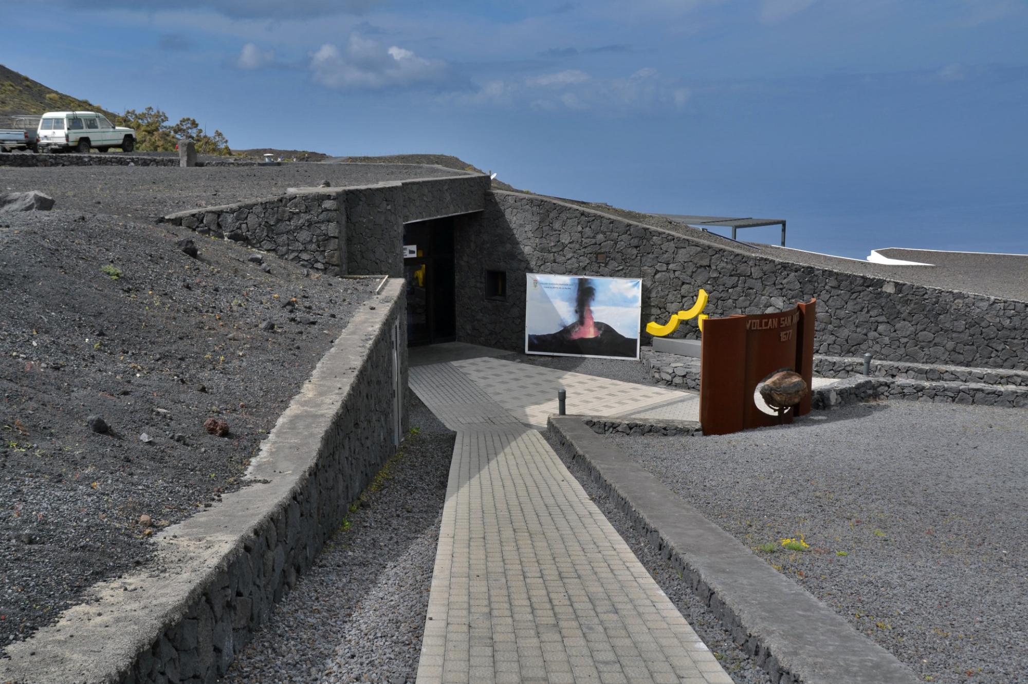
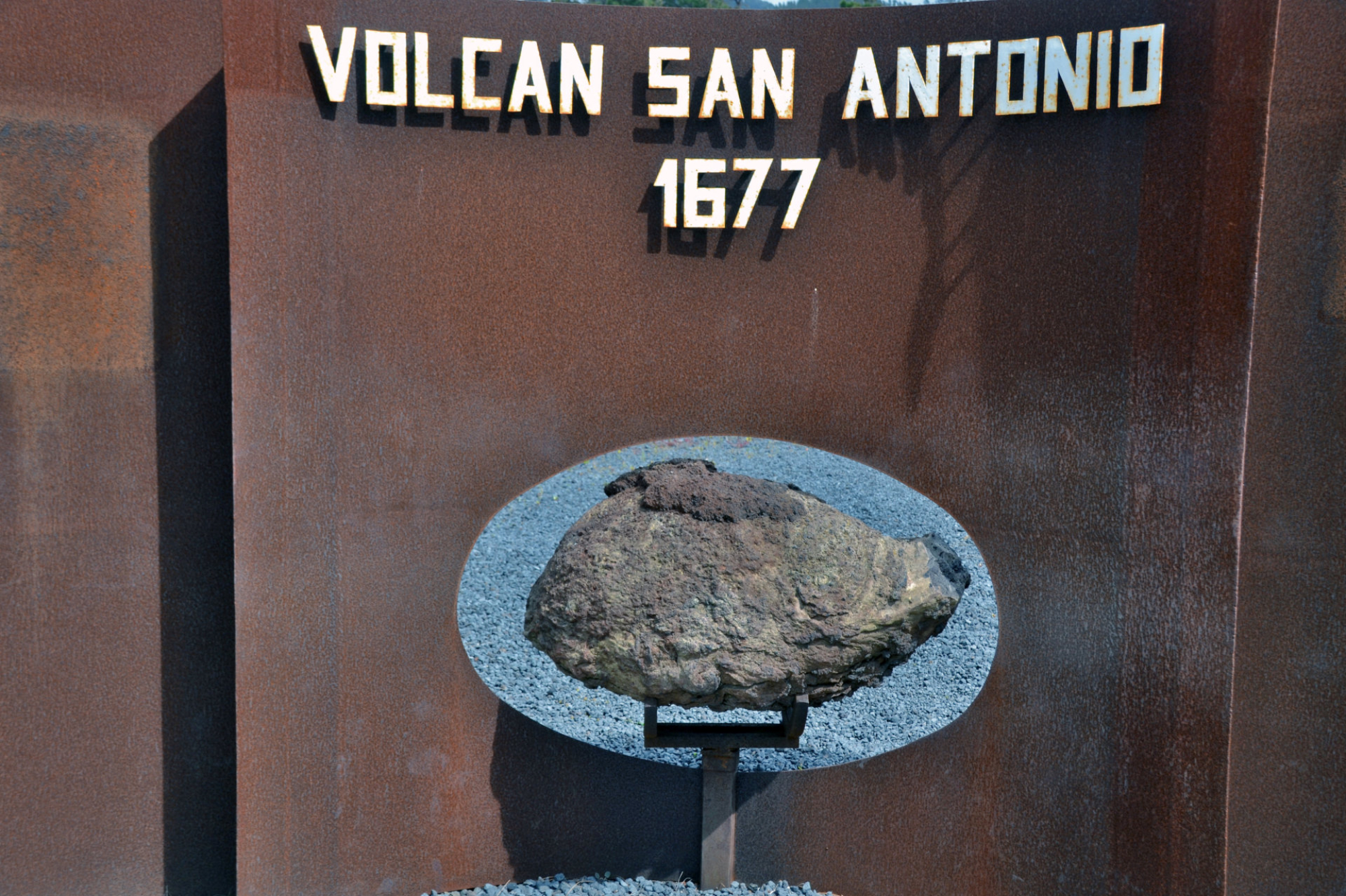
1677
Volcán
San
Antonio
.
1712
El
Charco
.
1949
Volcán
Nambroque
at
the
Duraznero,
Hoyo
Negro
and
Llano
del
Banco
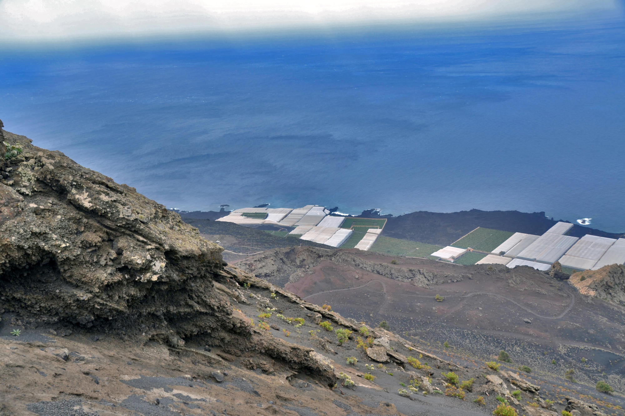
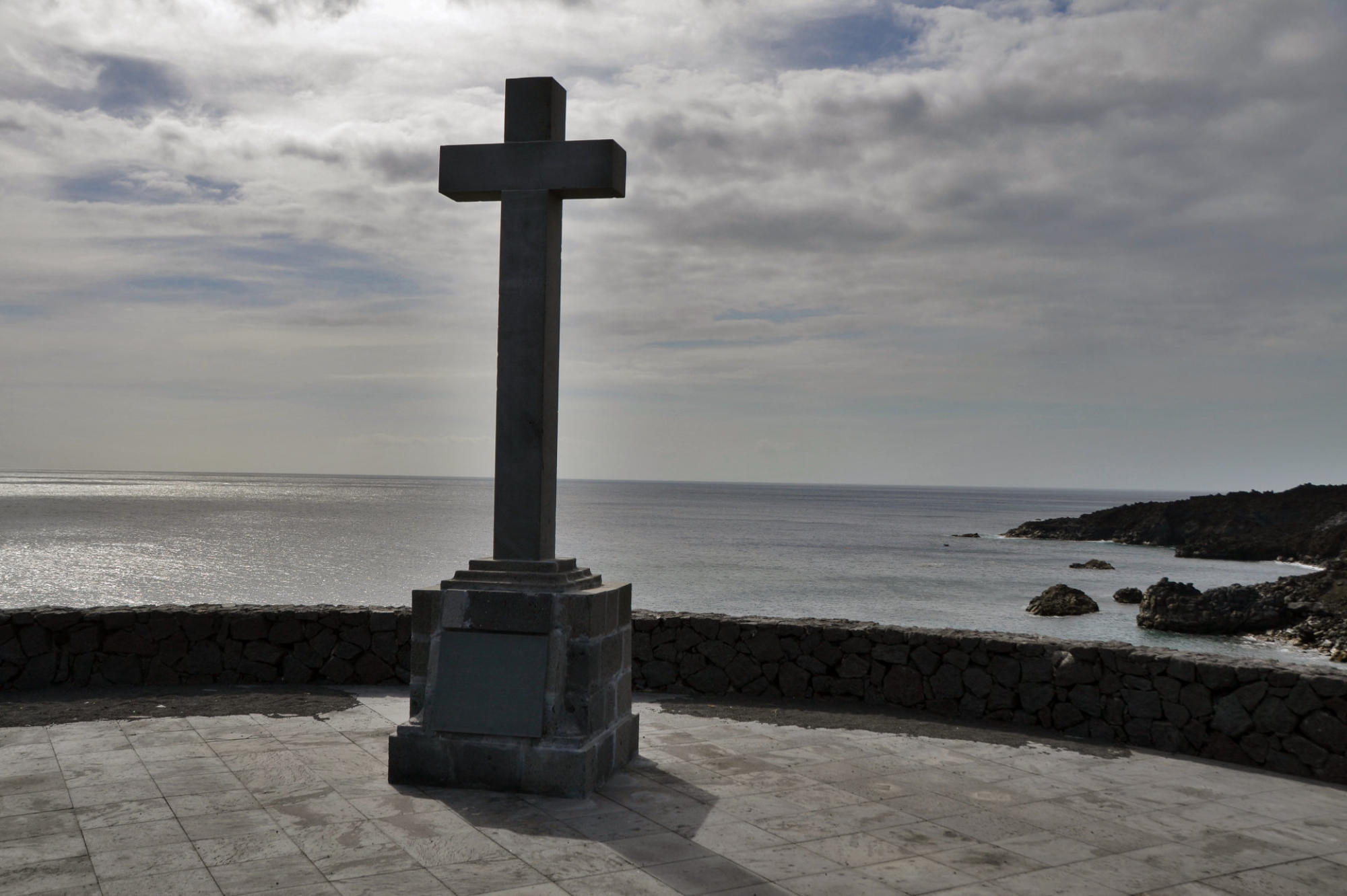
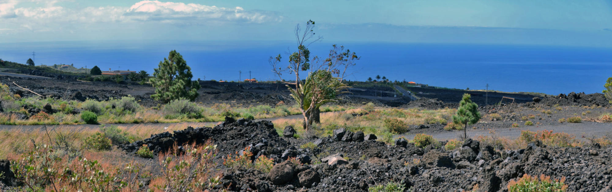
vents . 1971 Volcán Teneguia.
This
vent
is
the
source
of
the
last
subaerial
volcanic
eruption
in
Spain,
which
occurred
from
October
26
to
November
28,
1971.
Earthquakes
preceded
the
eruption.
The
eruption
caused
some
property
damage.
Populated
zones
were
not
affected.
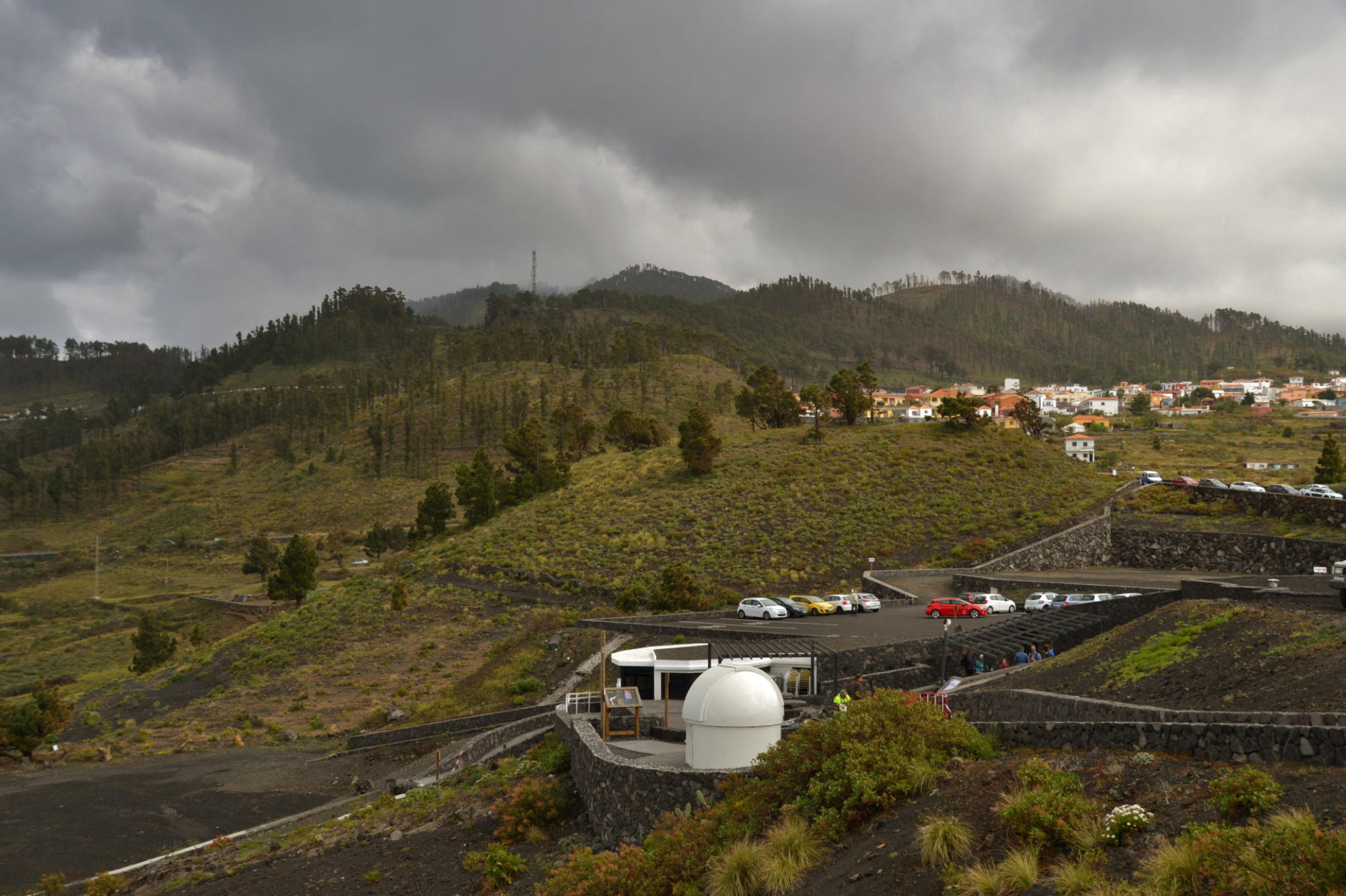
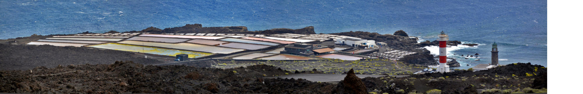
The
vent
has
since
become
an
attraction
for
tourist
and
forms
part of the
Monumento Natural de Los Volcanes de Teneguía
.
(Wikipedia)
click on pictures to enlarge
Coordi2426nates
28°40′N 17°52′W
ates
-----------------------------------------------------------------------------------------------------------------------------------------------------------------------------------------------------------------------------------------------------------------------------------------------
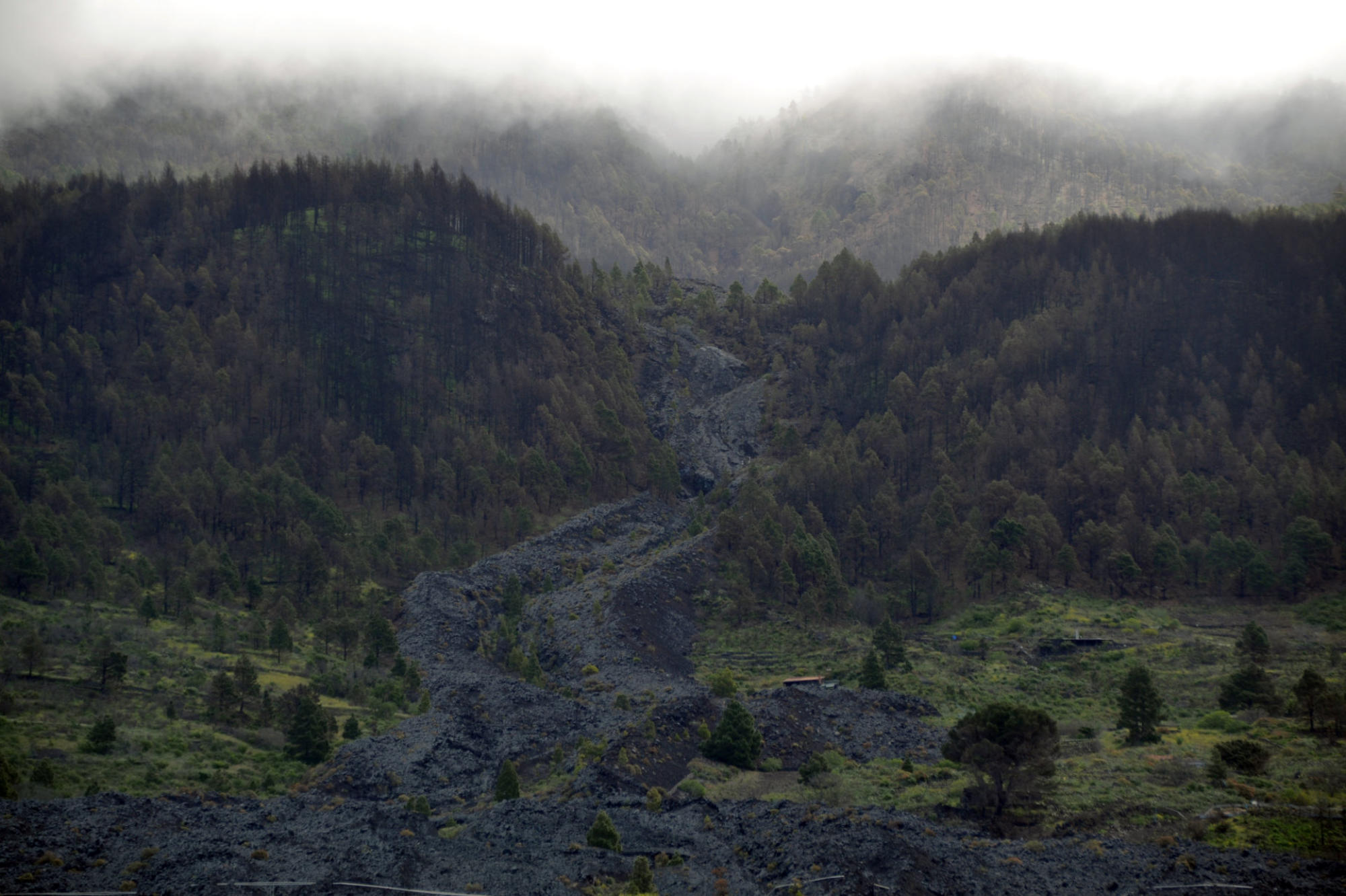
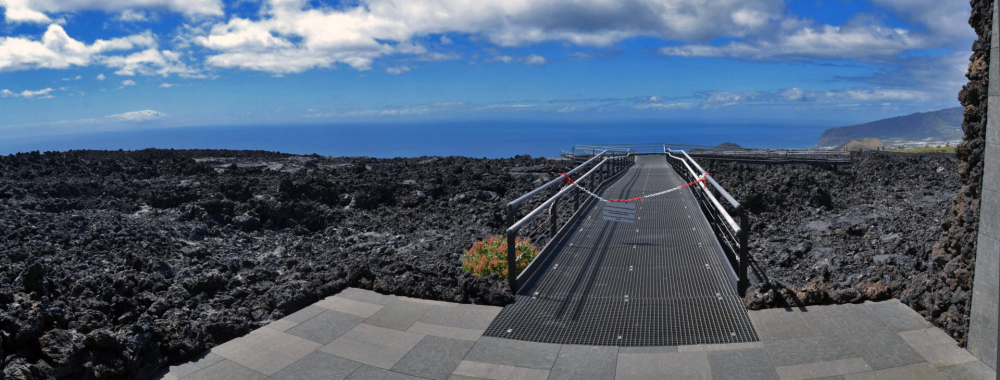
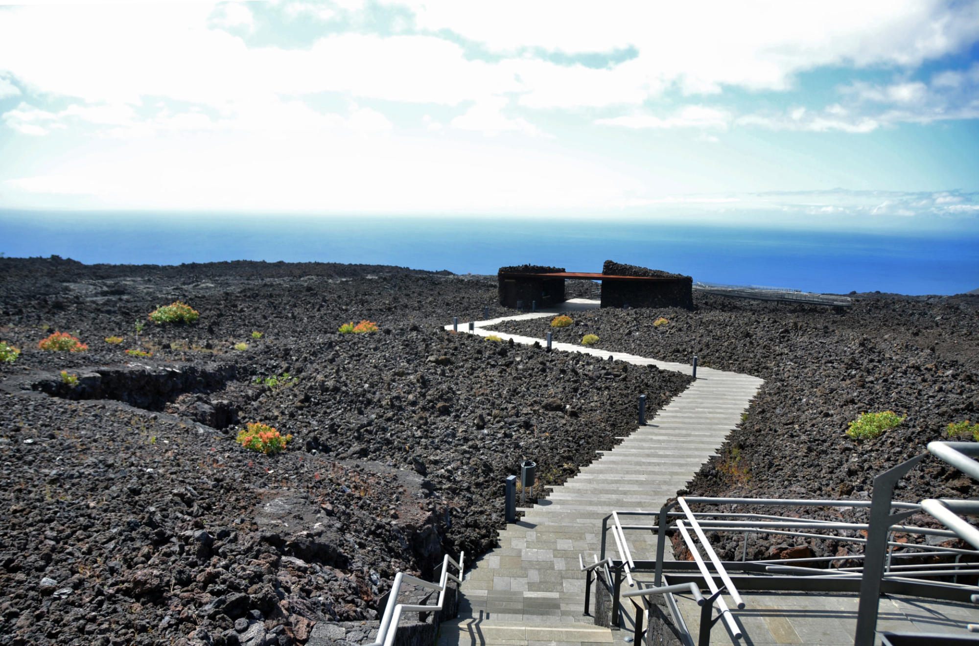
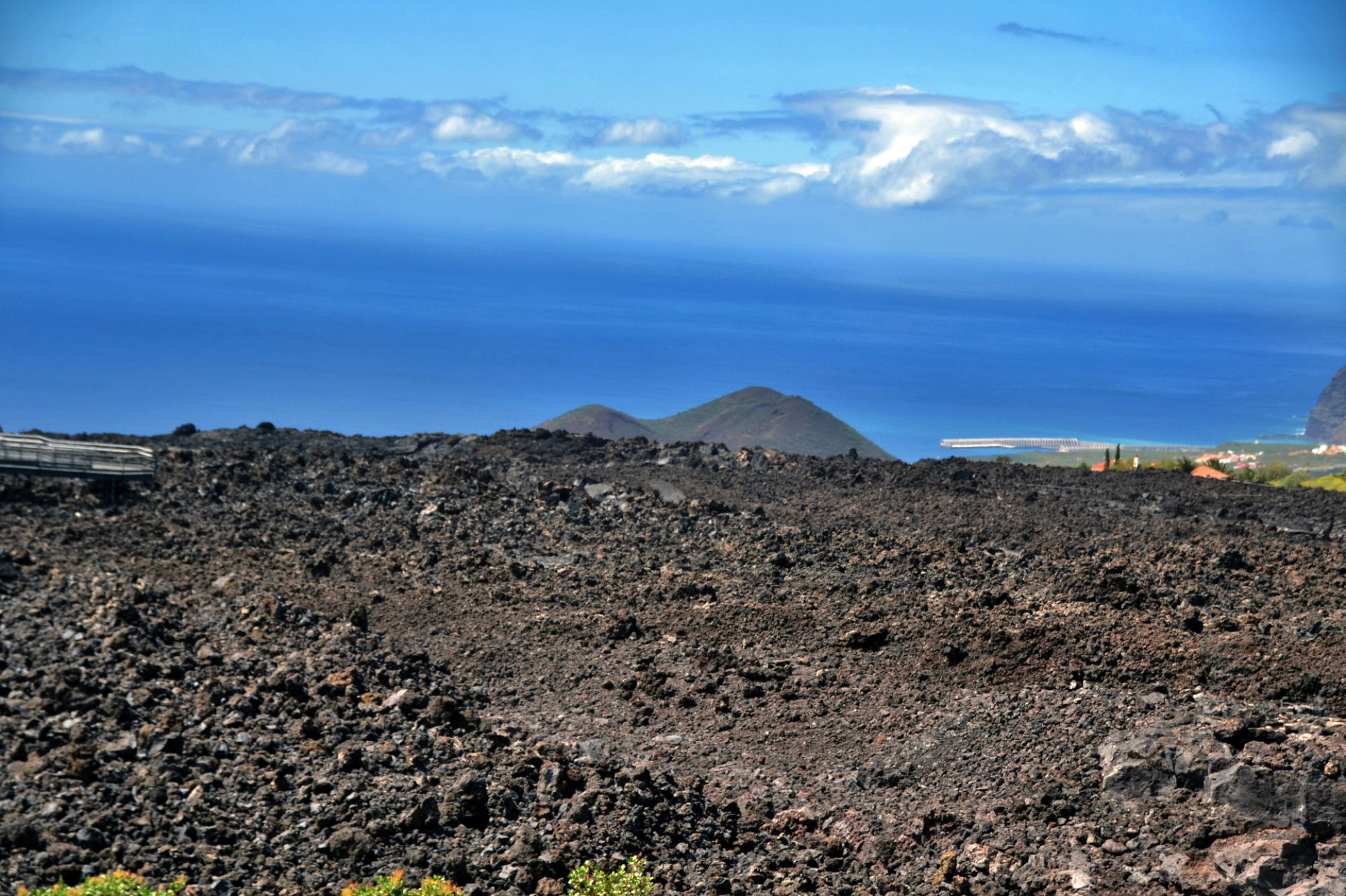
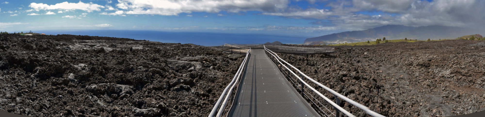
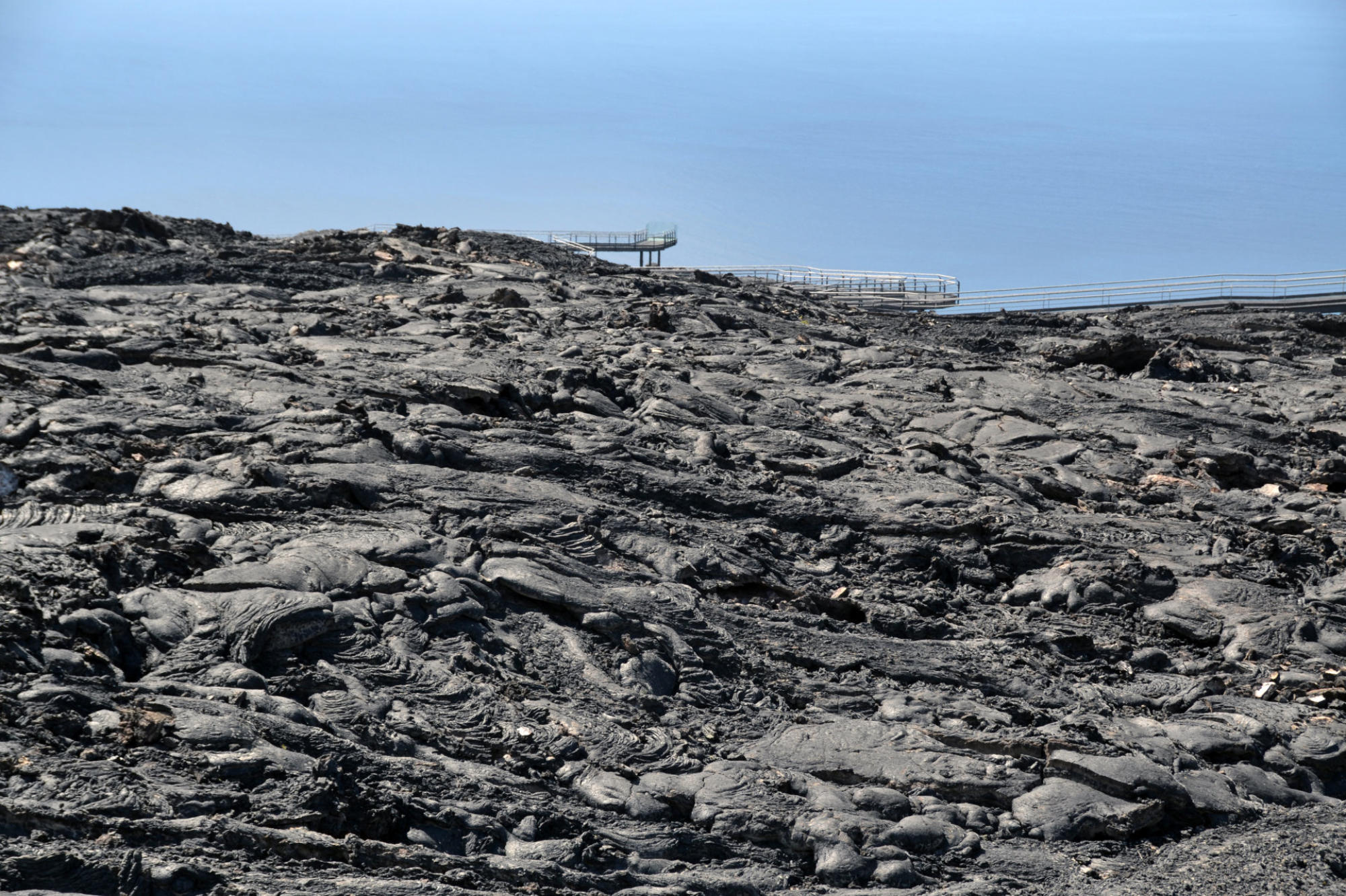
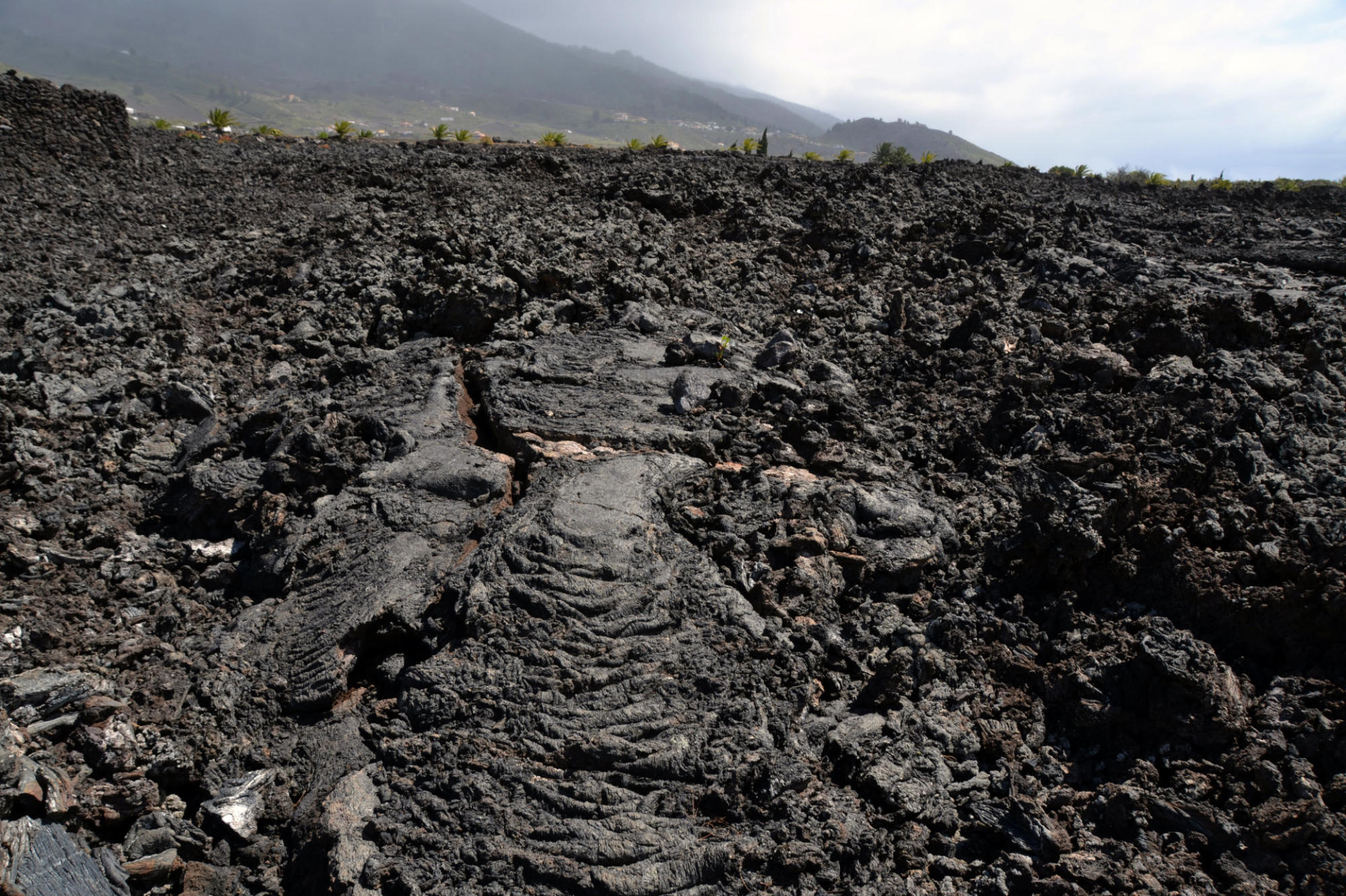
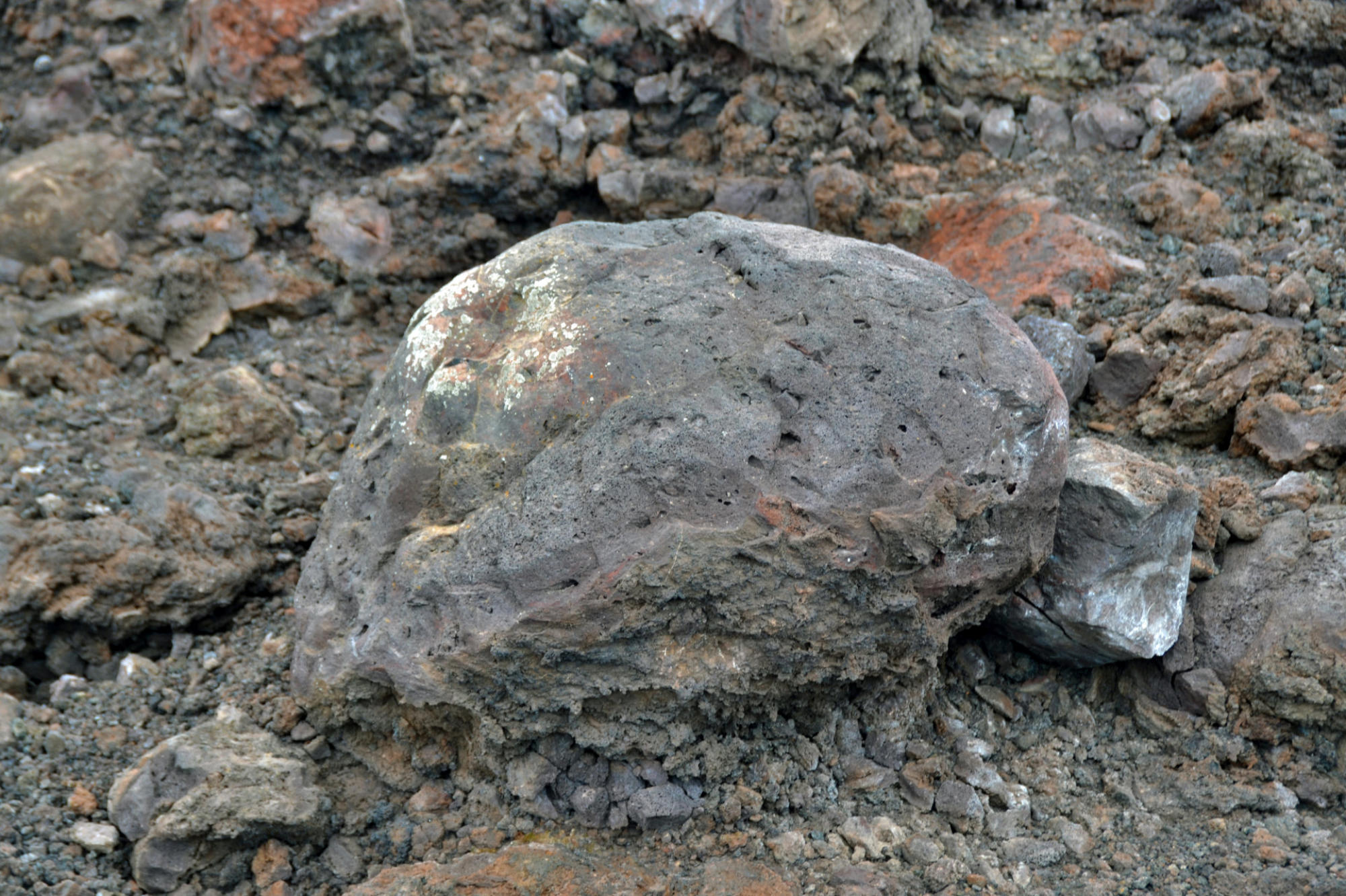
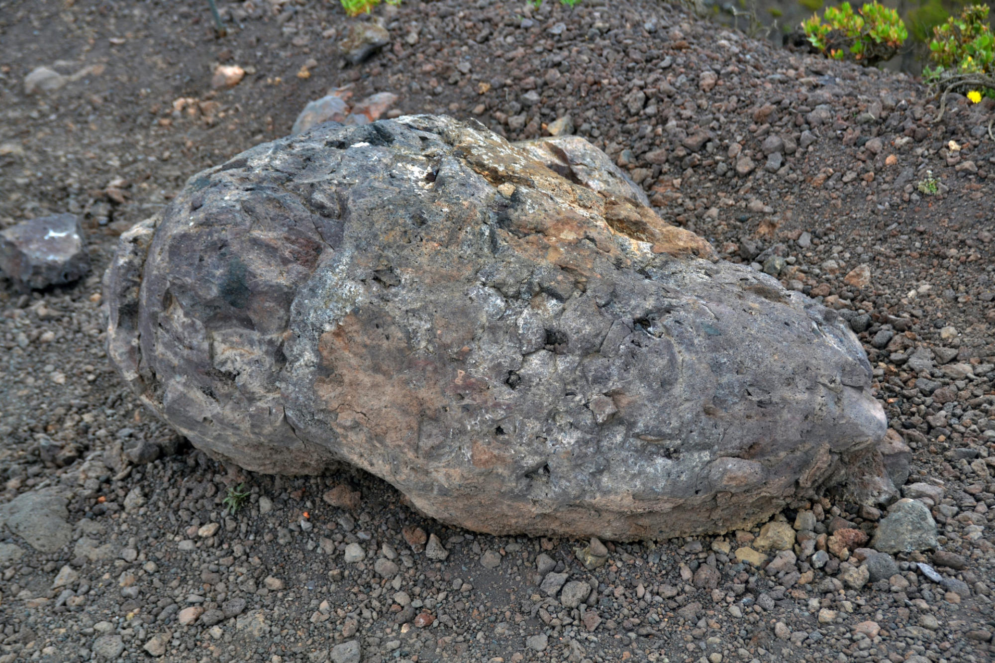
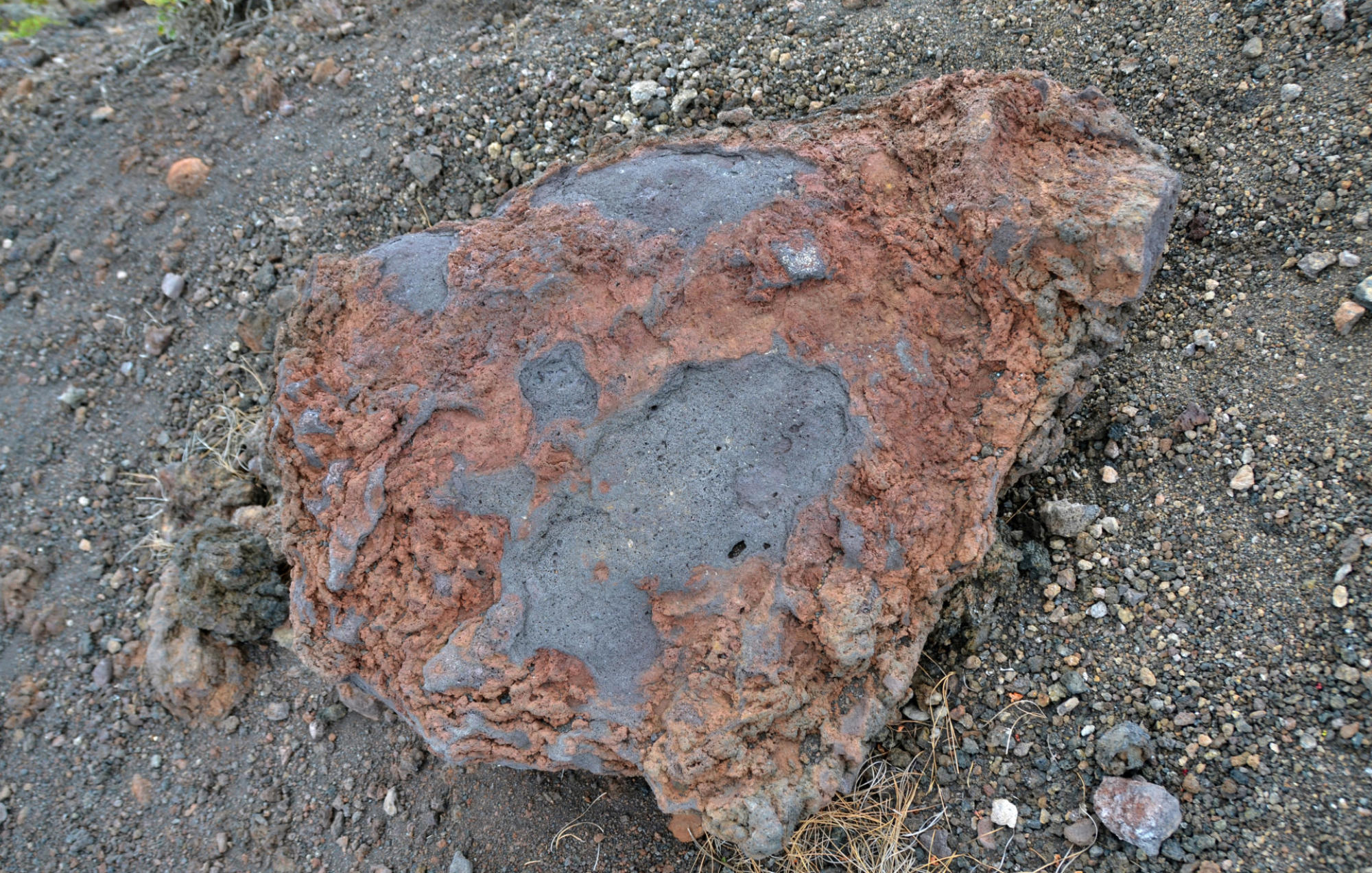
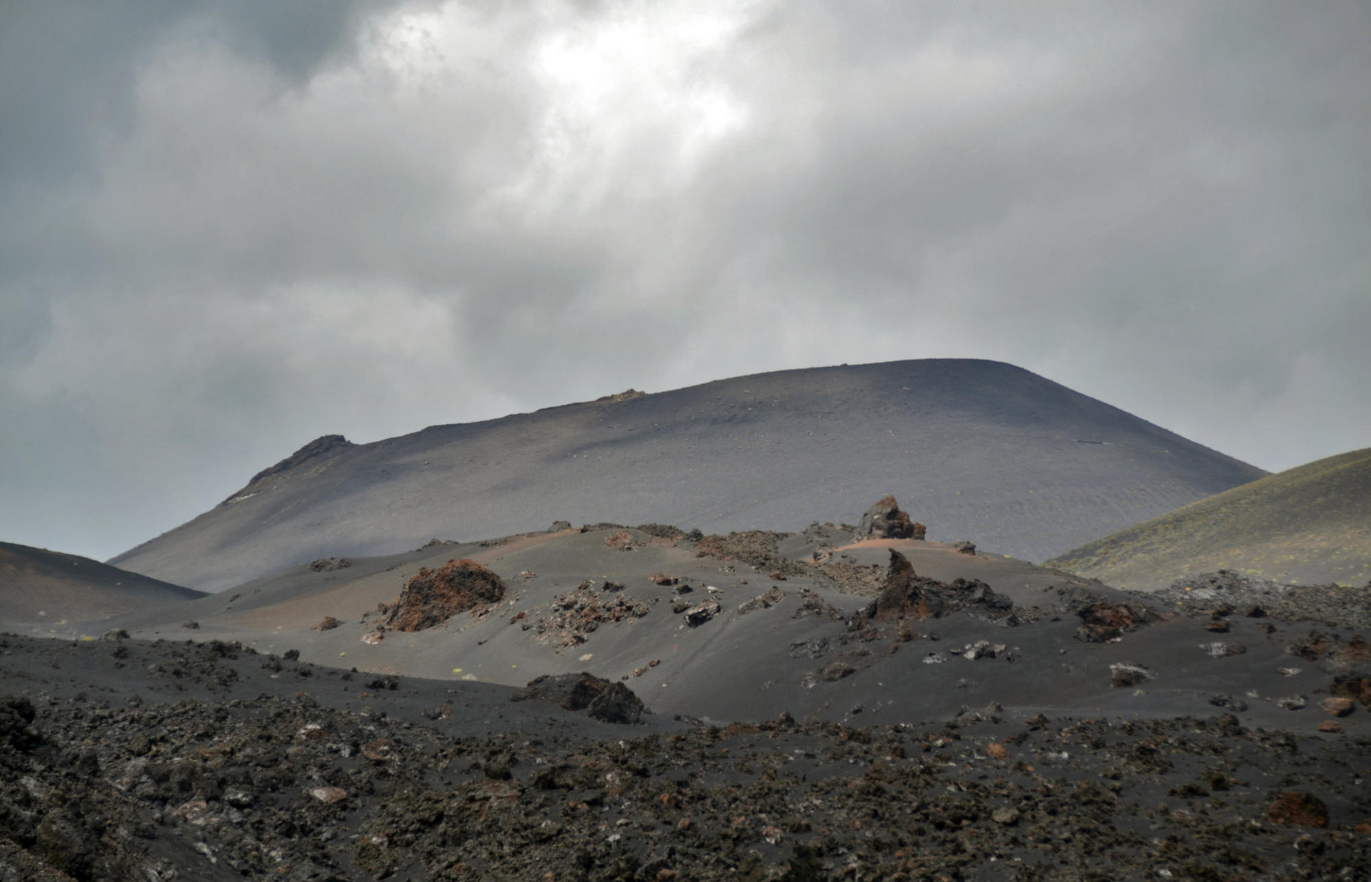
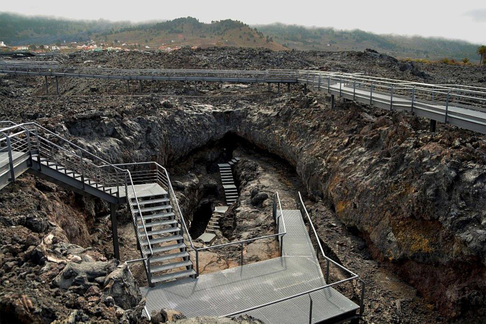
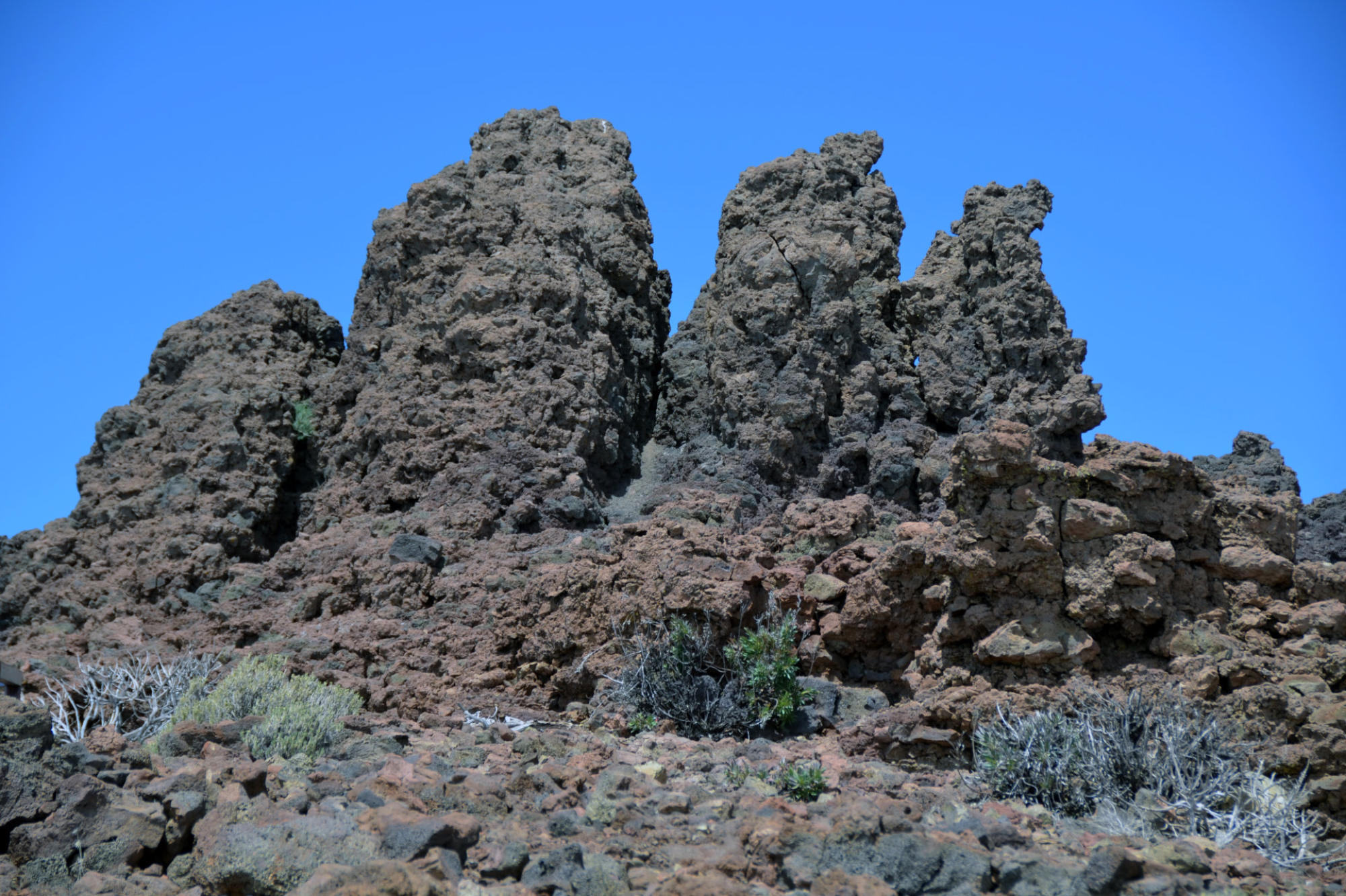
Lava Flow of San Juan Volcano
--------------------------------------------------------------------------------------------------------------------------------------------------------------------------------------------
------------------------------------------------------------------------------------------------------------------------------------------------------------------------------------------------------------------------------------------------------------------------------------------------
------------------------------------------------------------------------------------------------------------------------------------------------------------------------------------------------------------------------------------------------------------------------------------------------
La Palma 20.-27.03. 2017