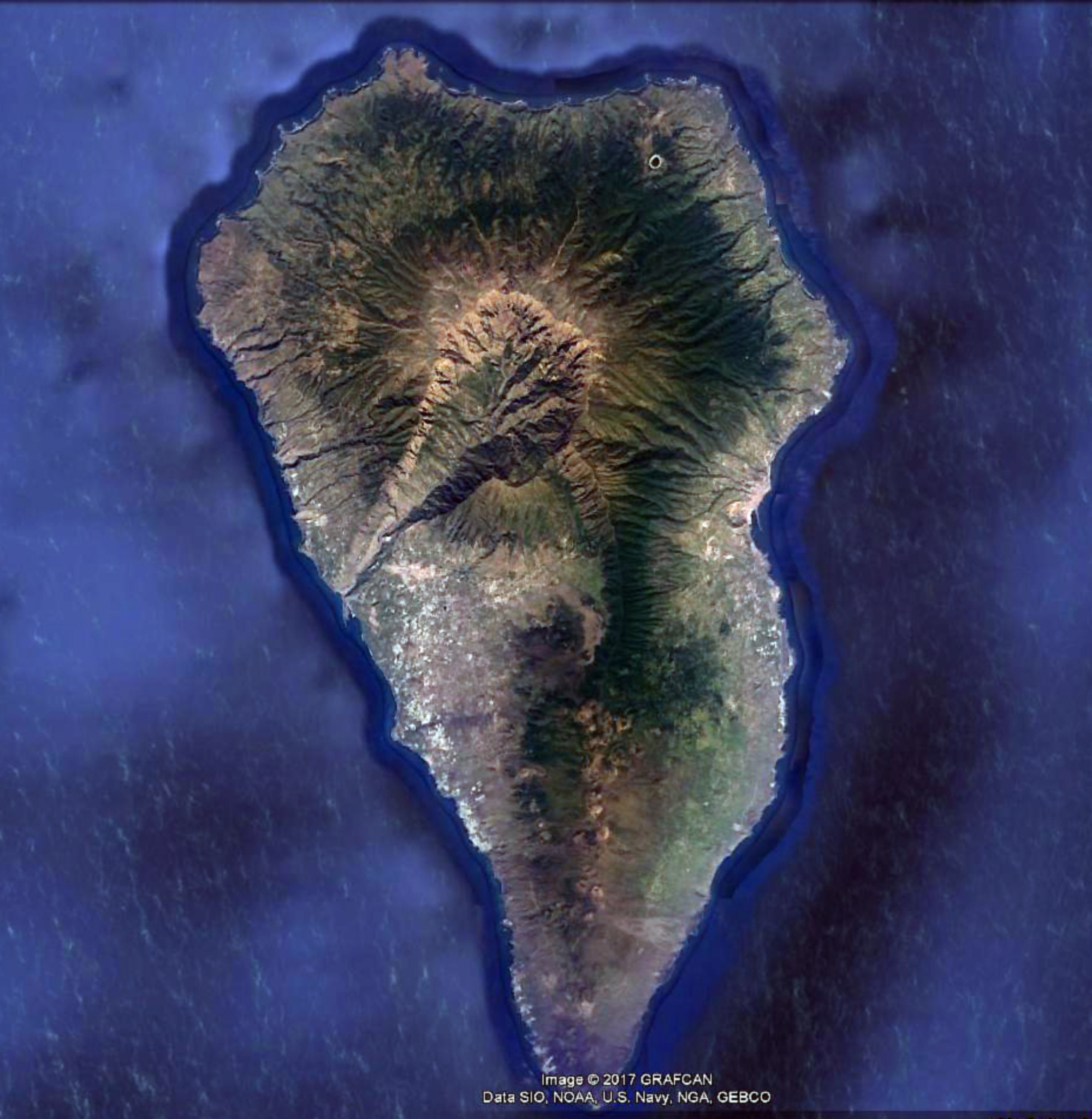
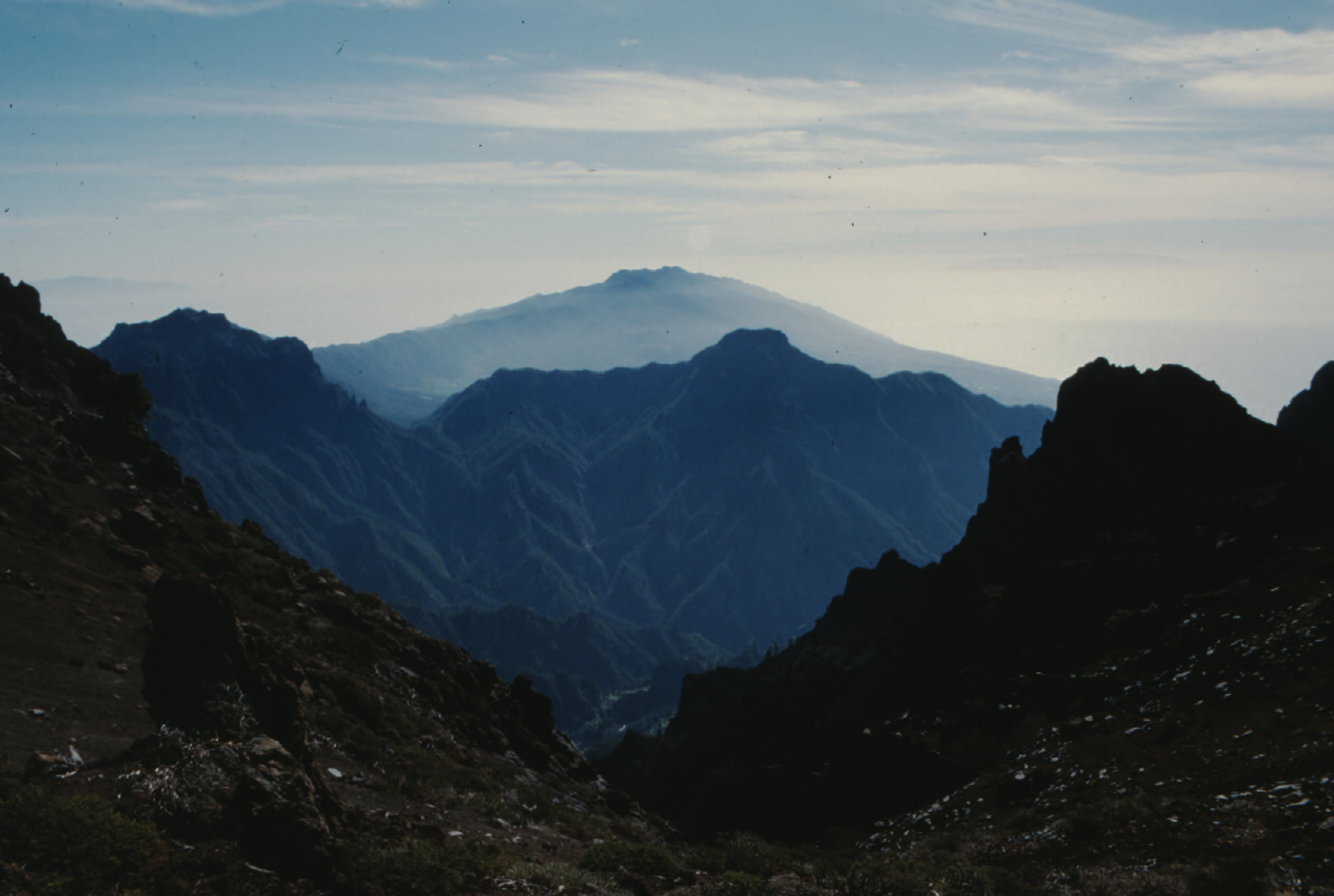
The
47-km-long
wedge-shaped
island
of
La
Palma,
the
NW-most
of
the
Canary
Islands,
is
composed
of
two
large
volcanic
centers.
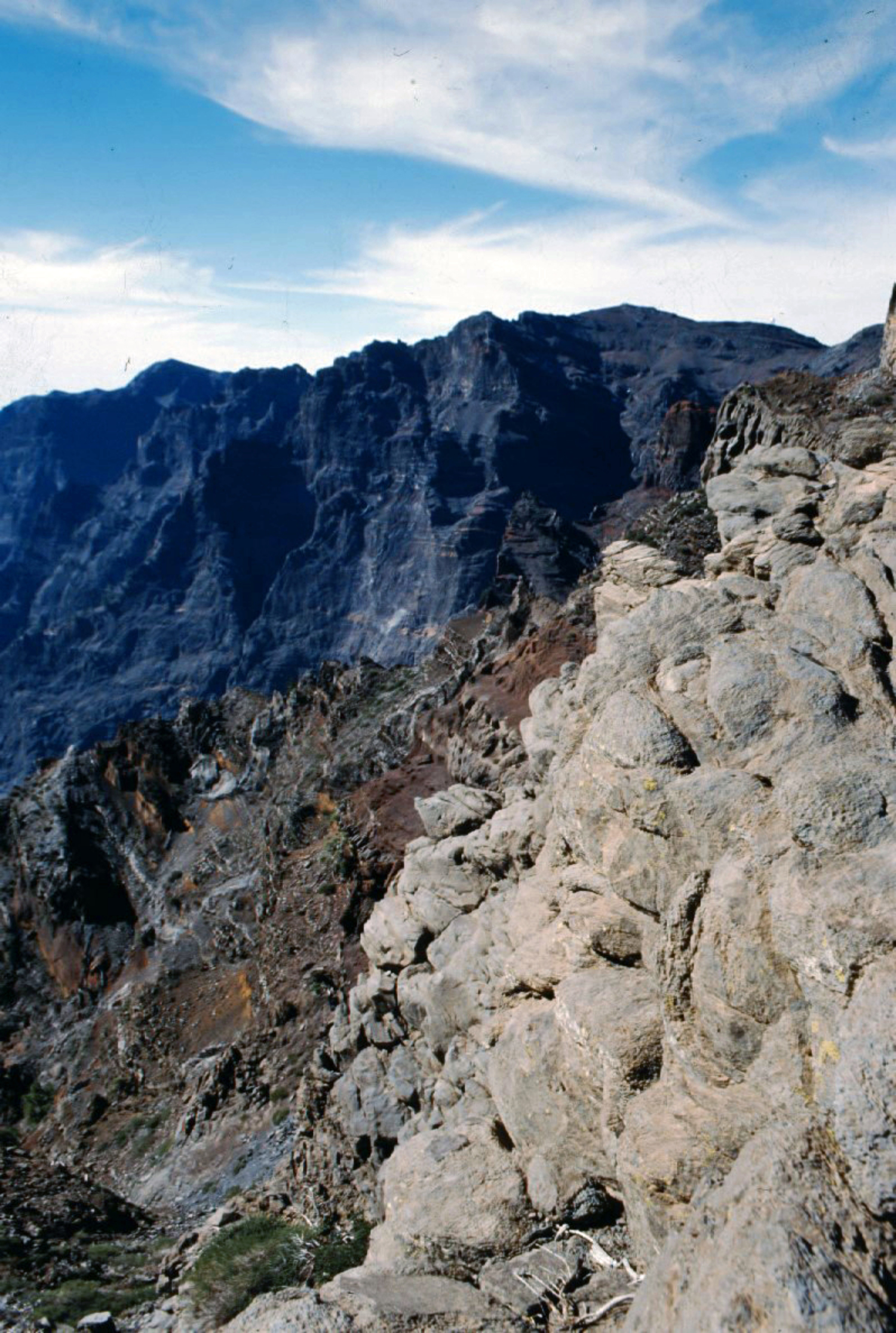
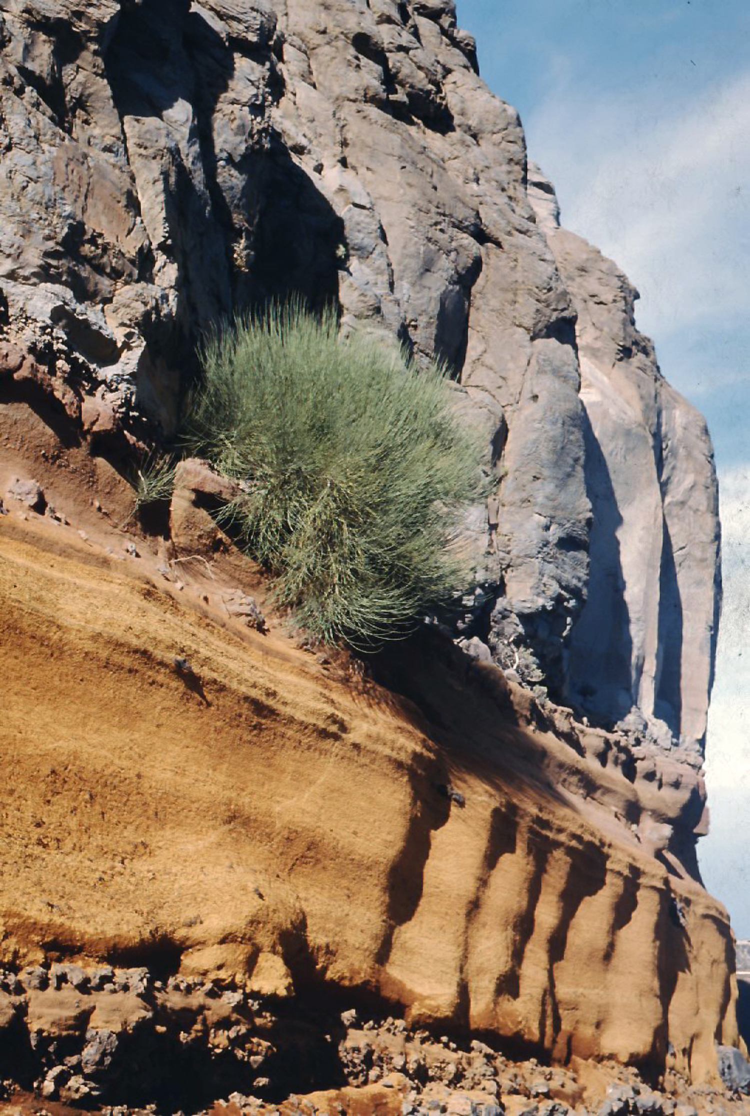
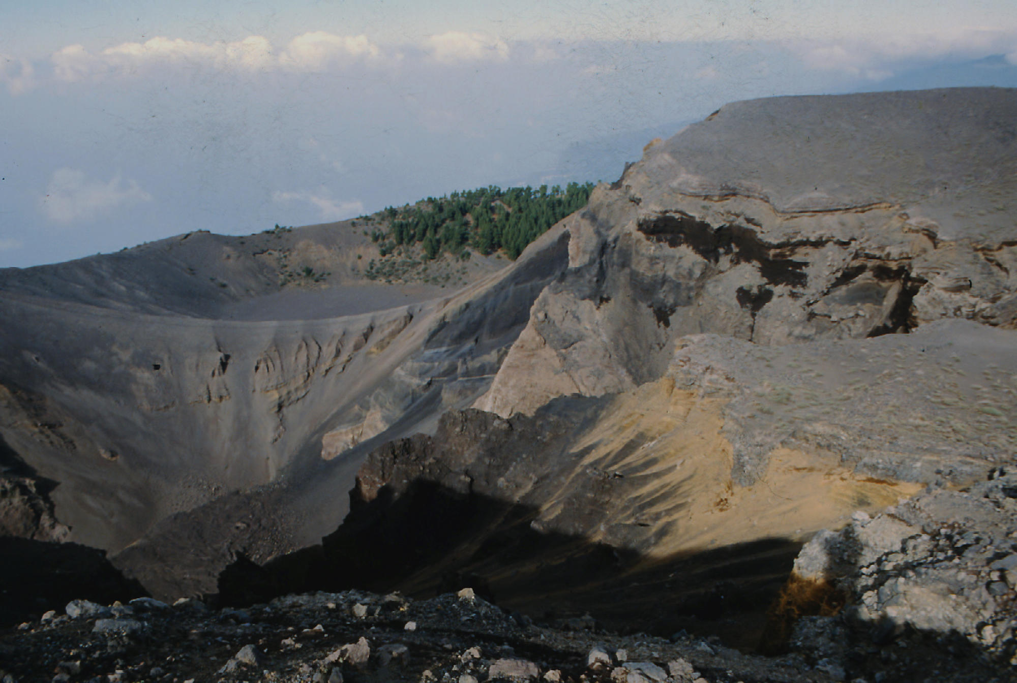
The
older
2426-m-high
northern
one
is
cut
by
the
massive
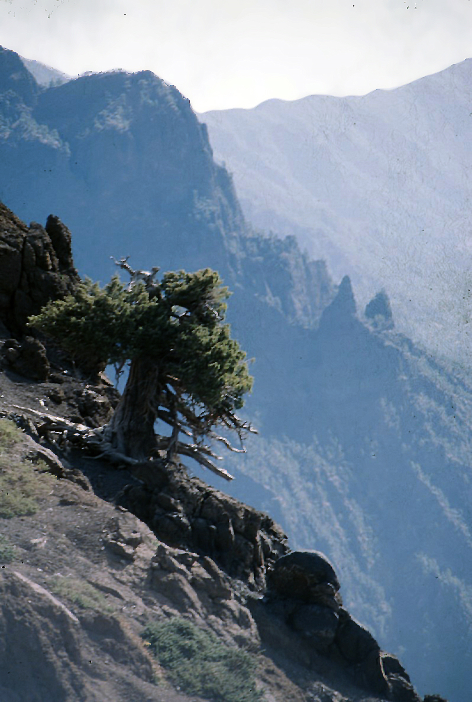
steep-walled
Caldera
Taburiente,
one
of
several
massive
collapse
scarps
produced
by
edifice
failure
to
the
SW.
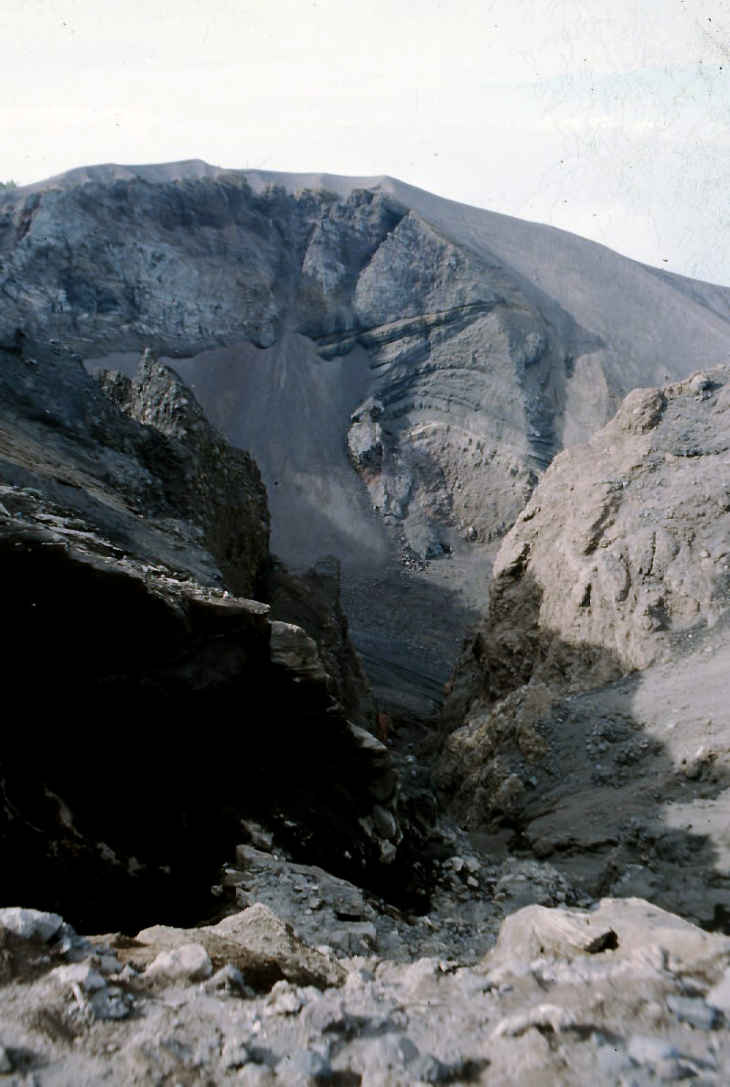
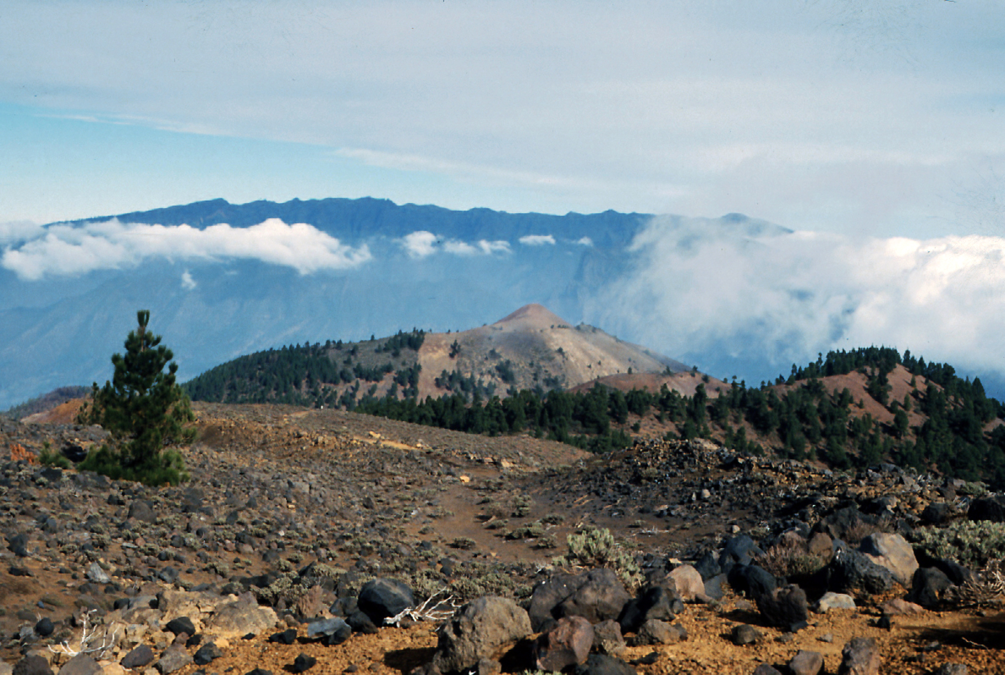
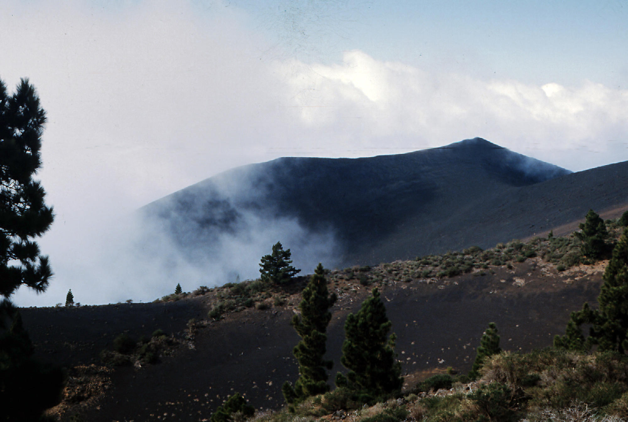
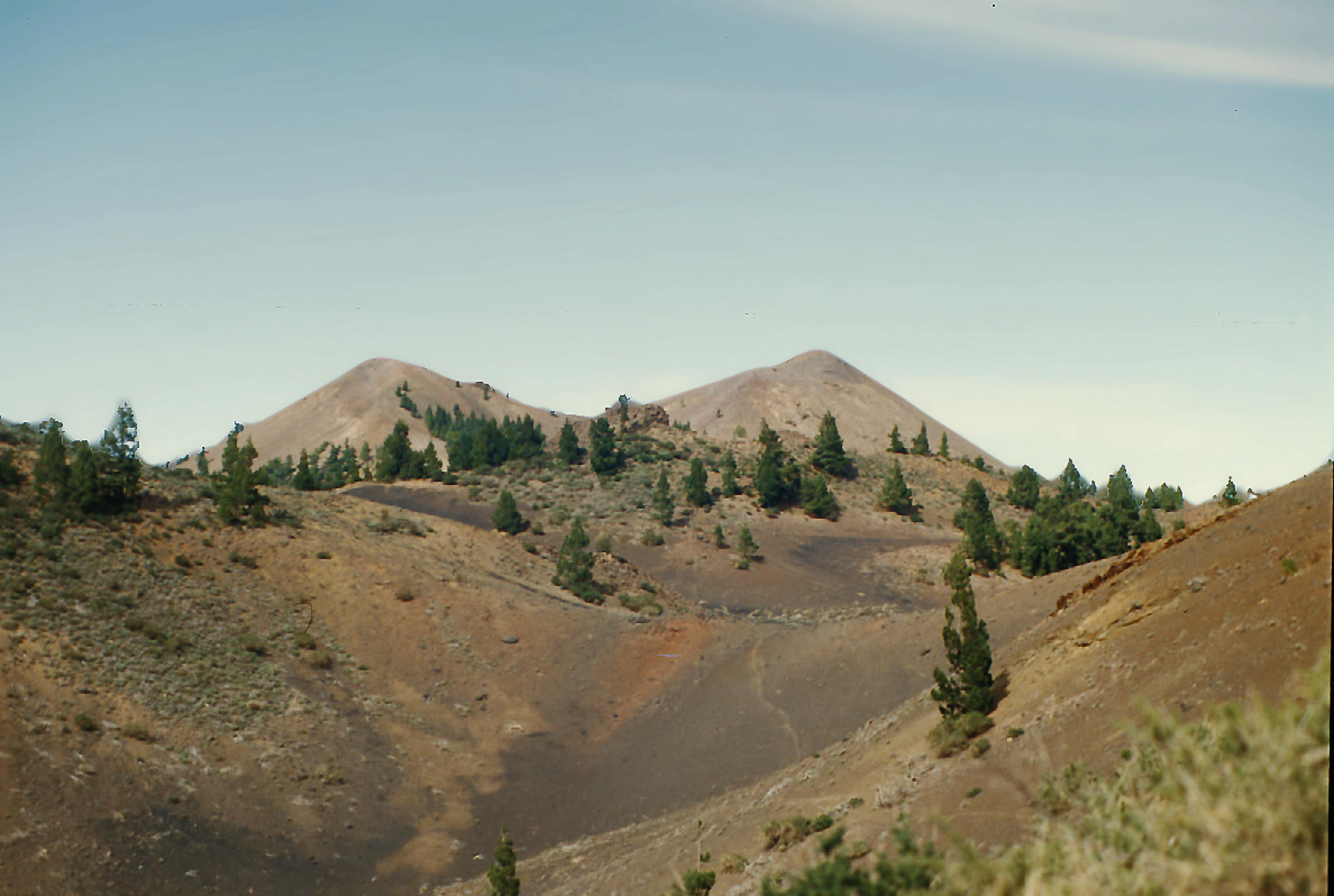
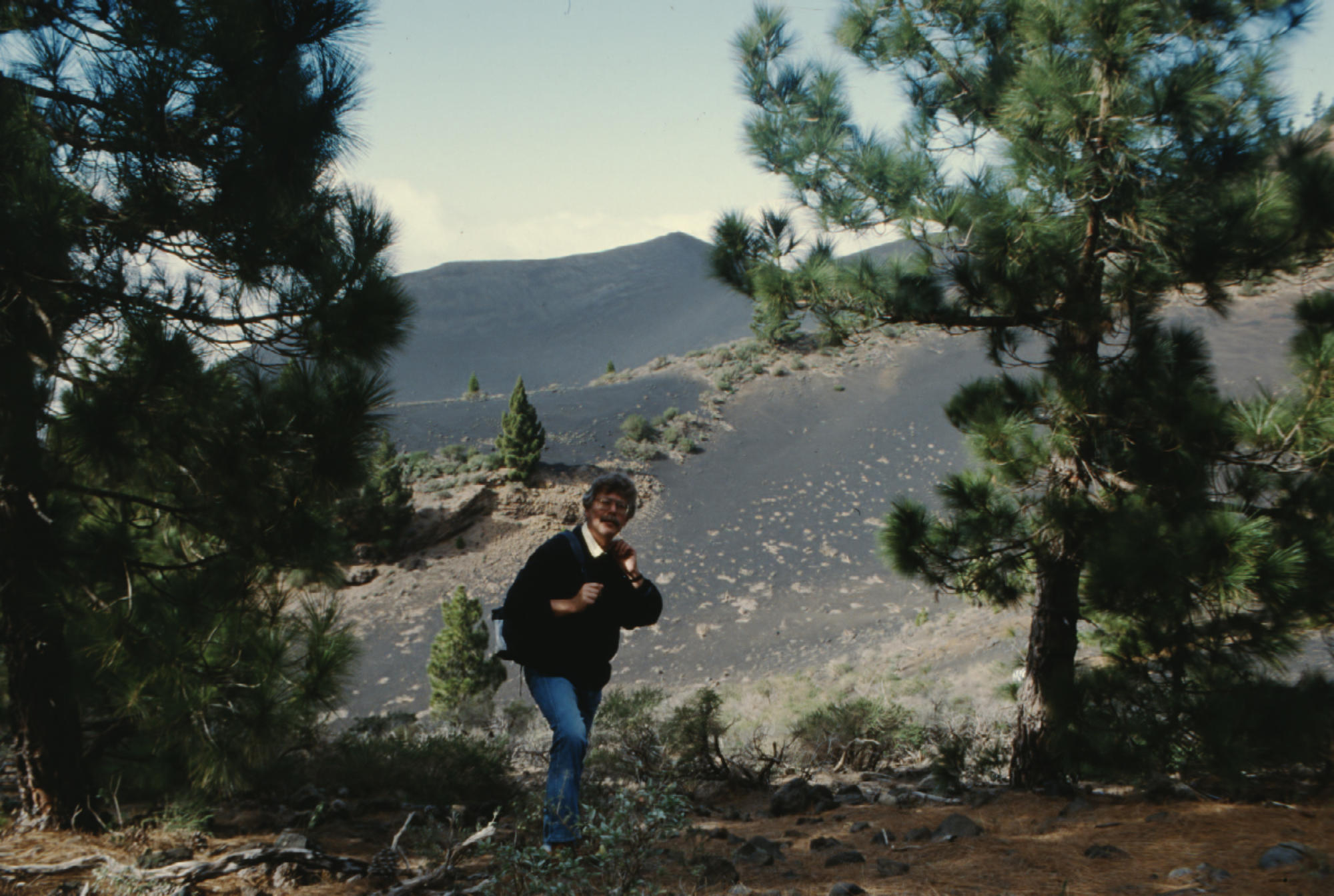
The
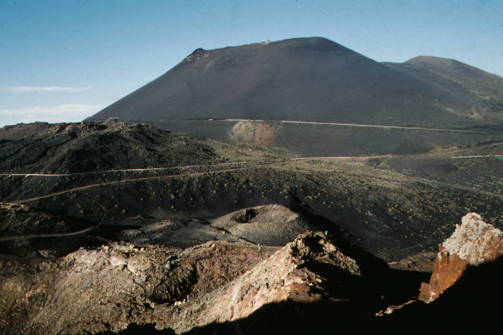
younger
1949-m-high
Cumbre
Vieja,
the
southern
volcano,
is
one
of
the
most
active
in
the
Canaries.
The
elongated
volcano
dates
back
to
about
125,000
years
ago
and
is
oriented
N-S.
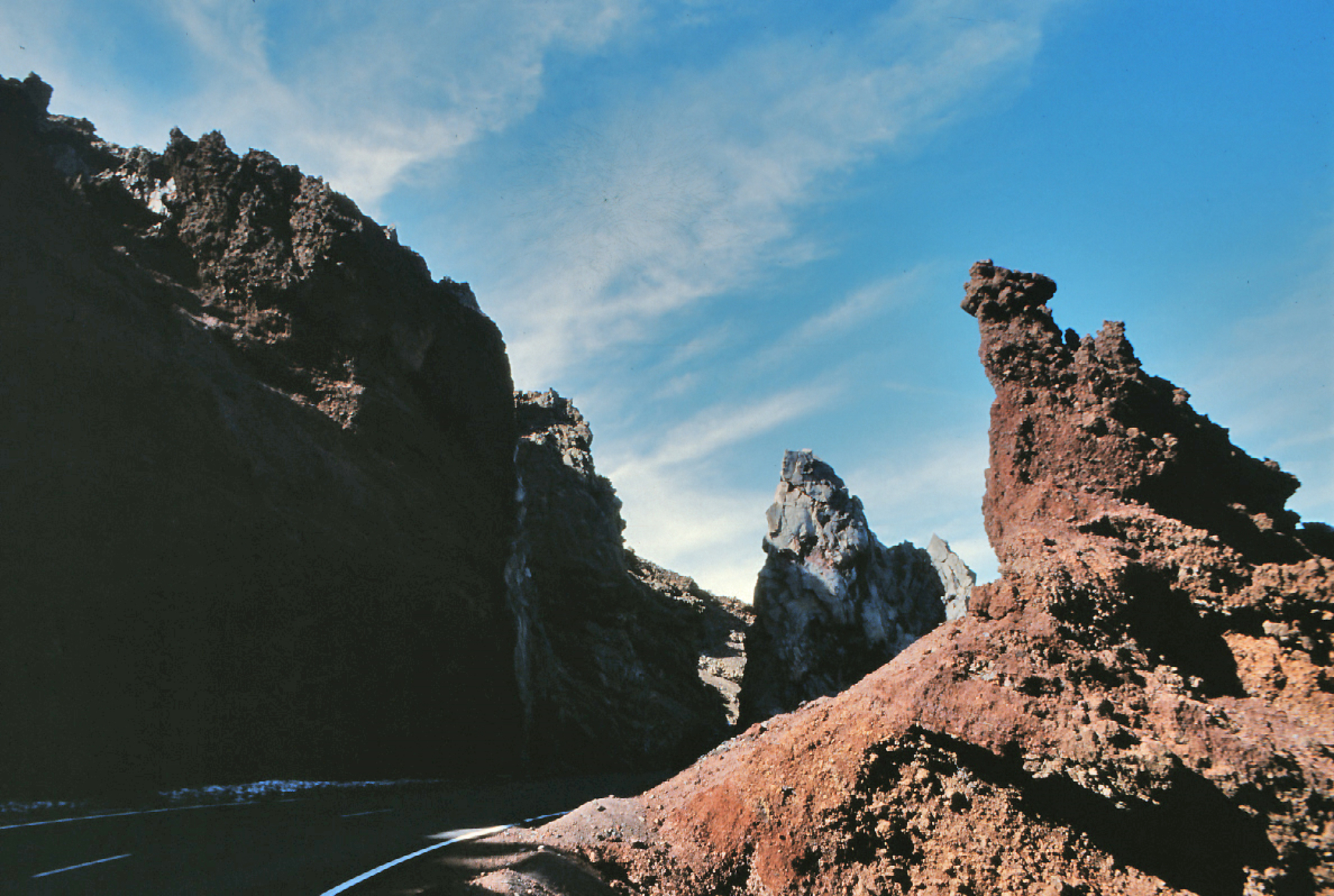
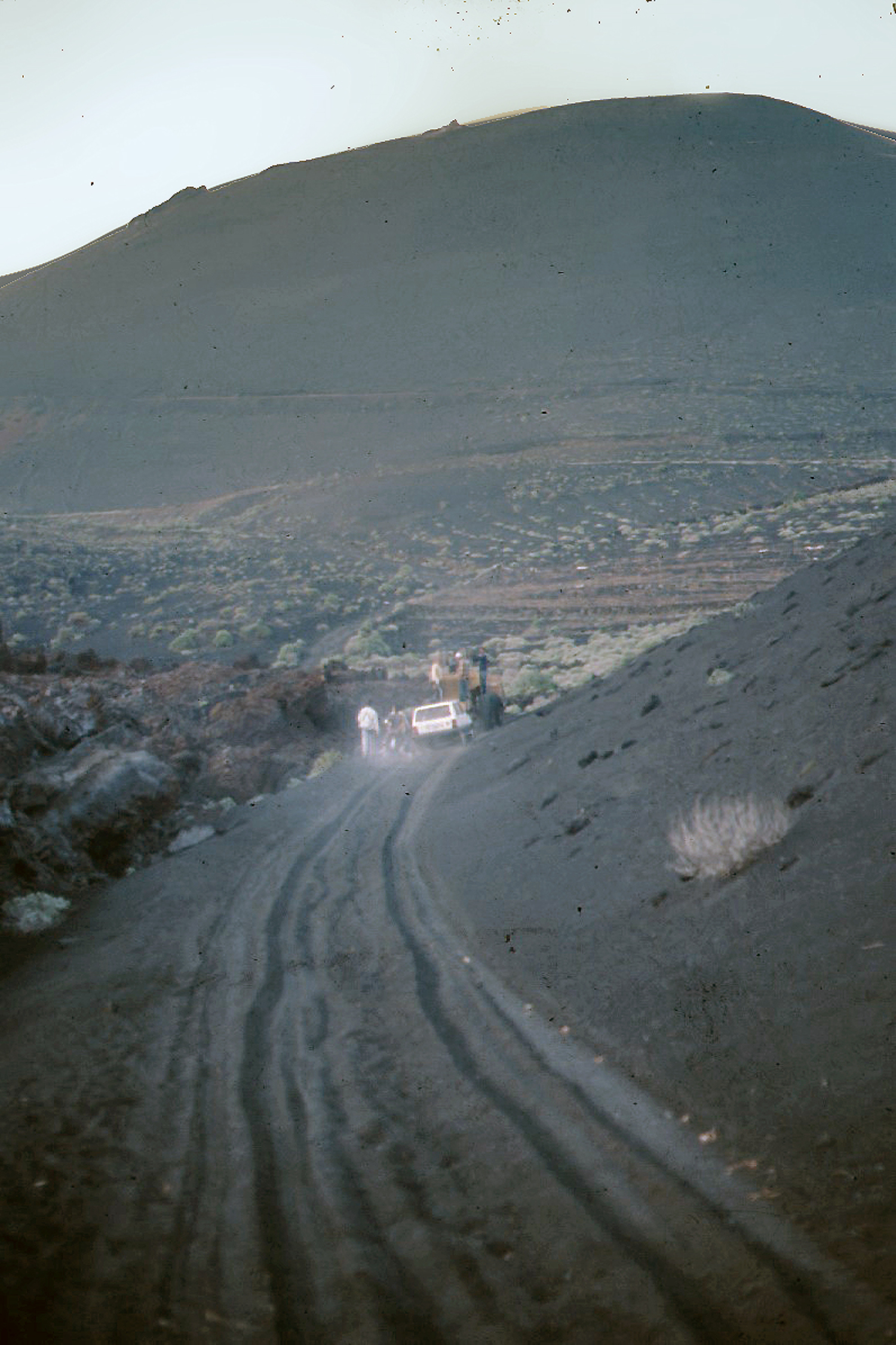
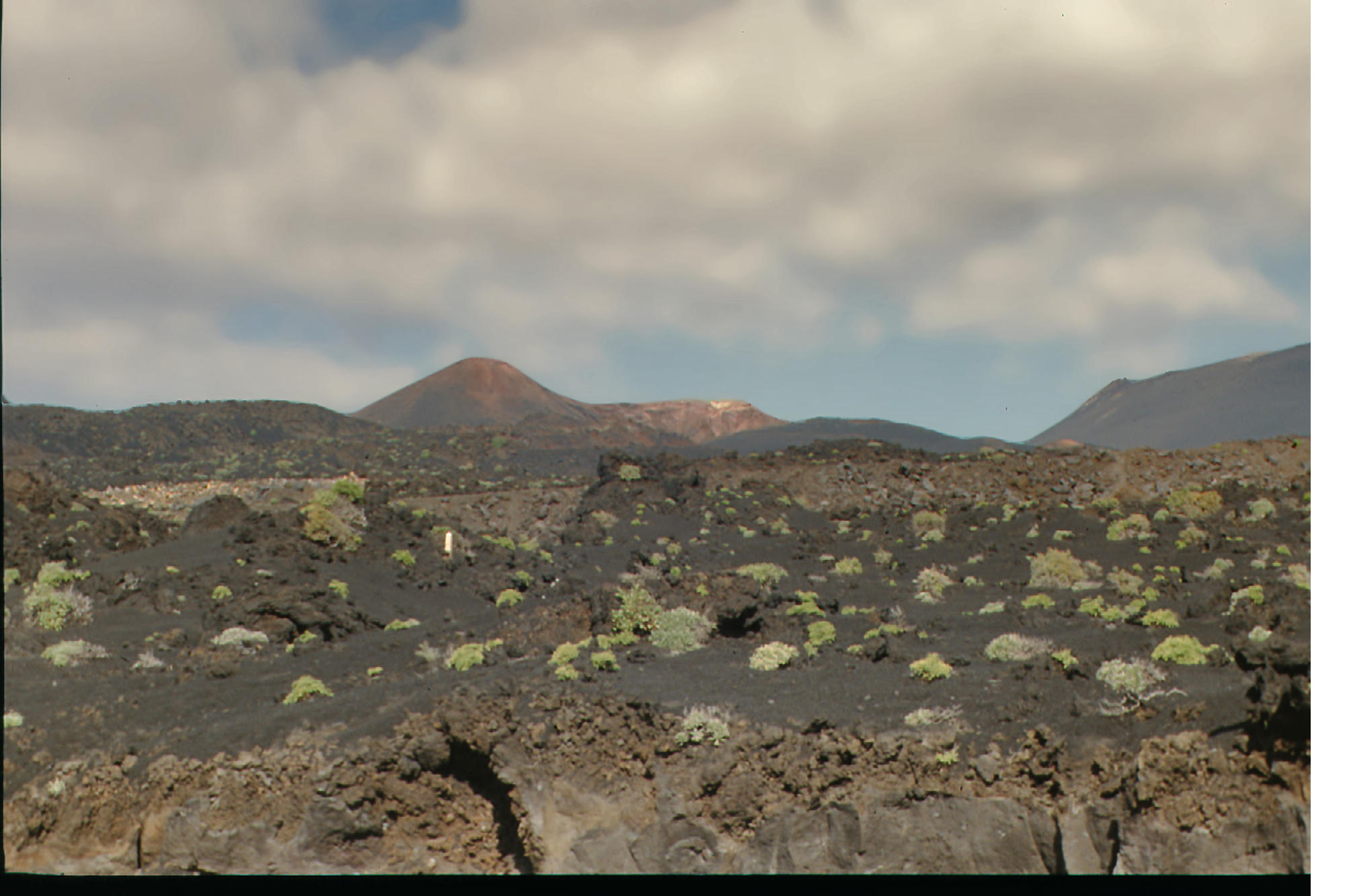
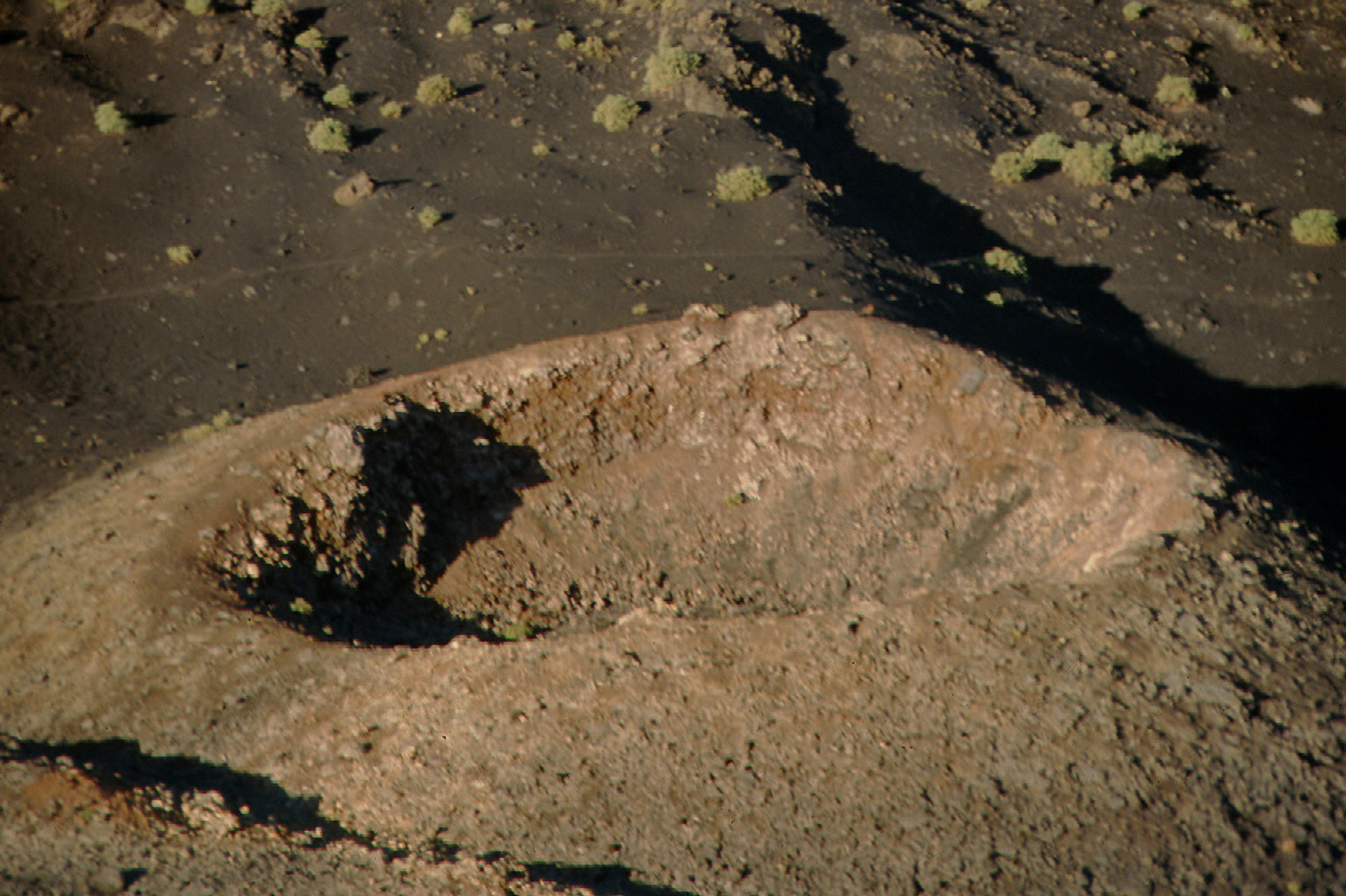
Eruptions
during
the
past
7000
years
have
originated
from
the
abundant
cinder
cones
and
craters
along
the
axis
of
Cumbre
Vieja,
producing
fissure-fed
lava
flows
that
descend
steeply
to
the
sea.
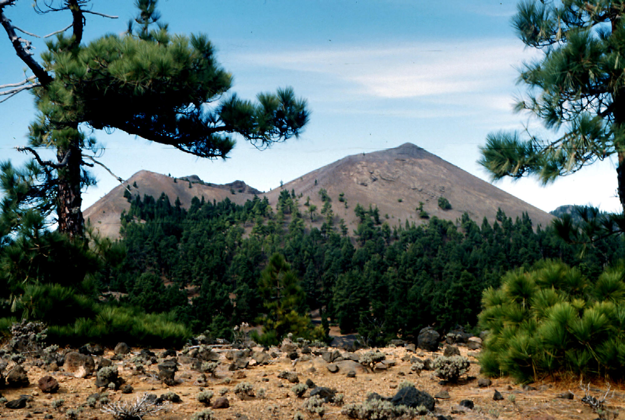
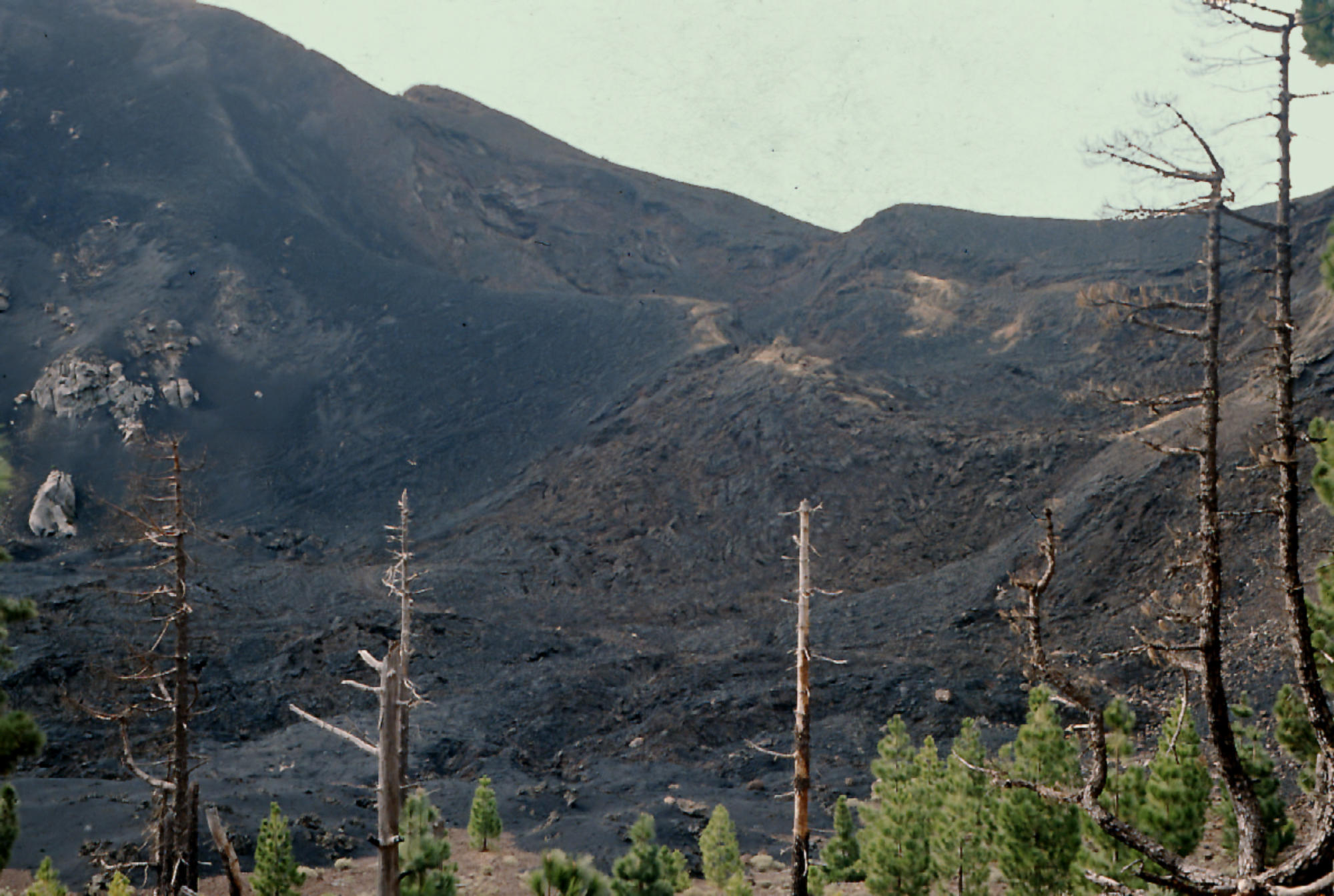
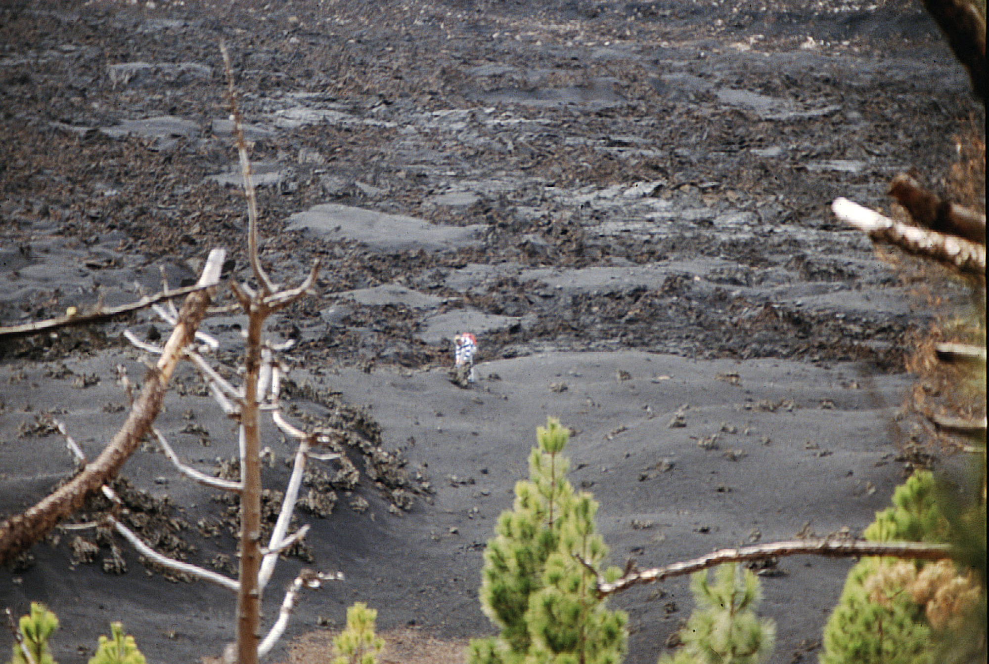
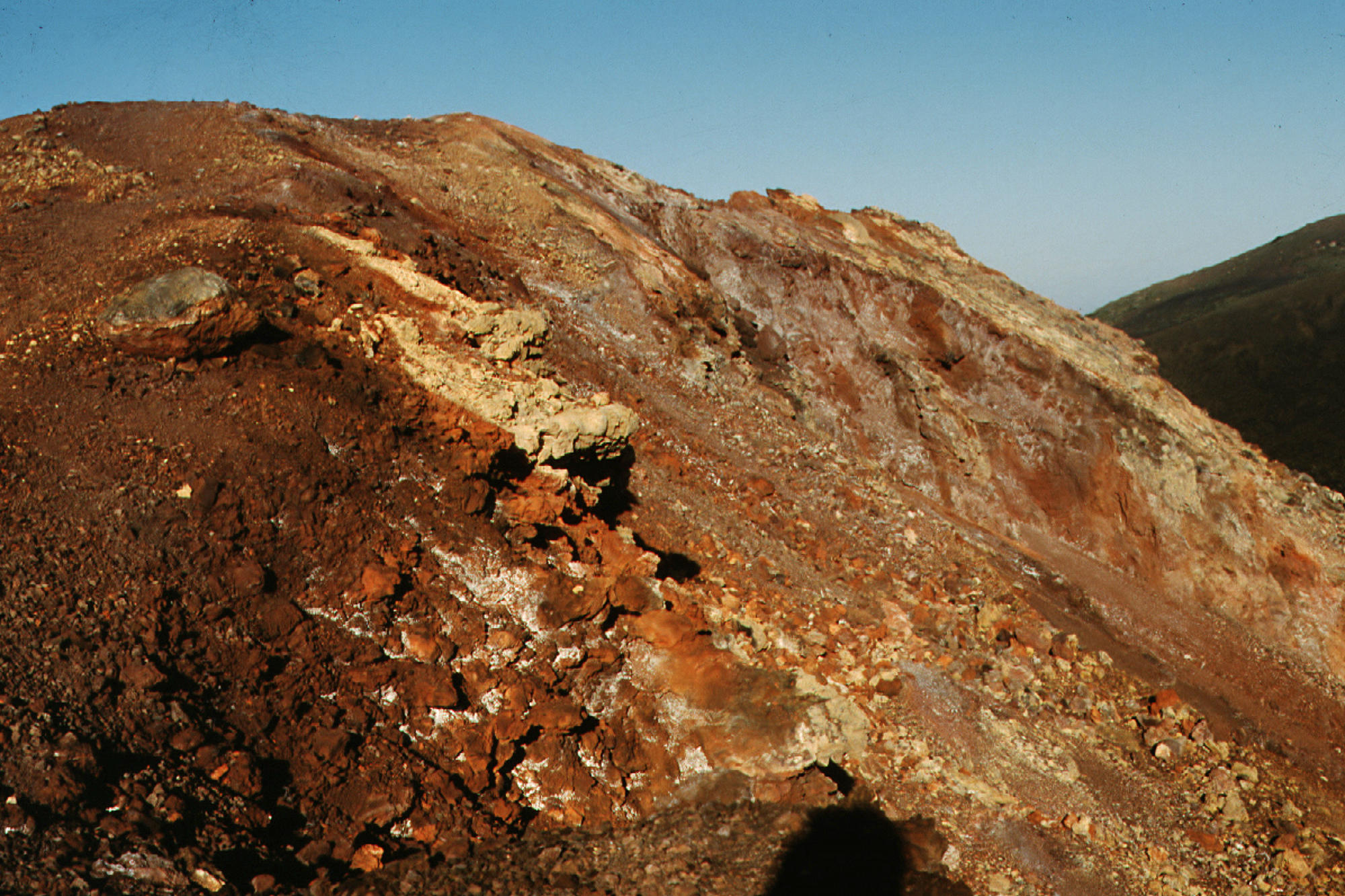
Historical
eruptions
at
La
Palma,
recorded
since
the
15th
century,
have
produced
mild
explosive
activity
and
lava
flows
that
damaged
populated
areas.
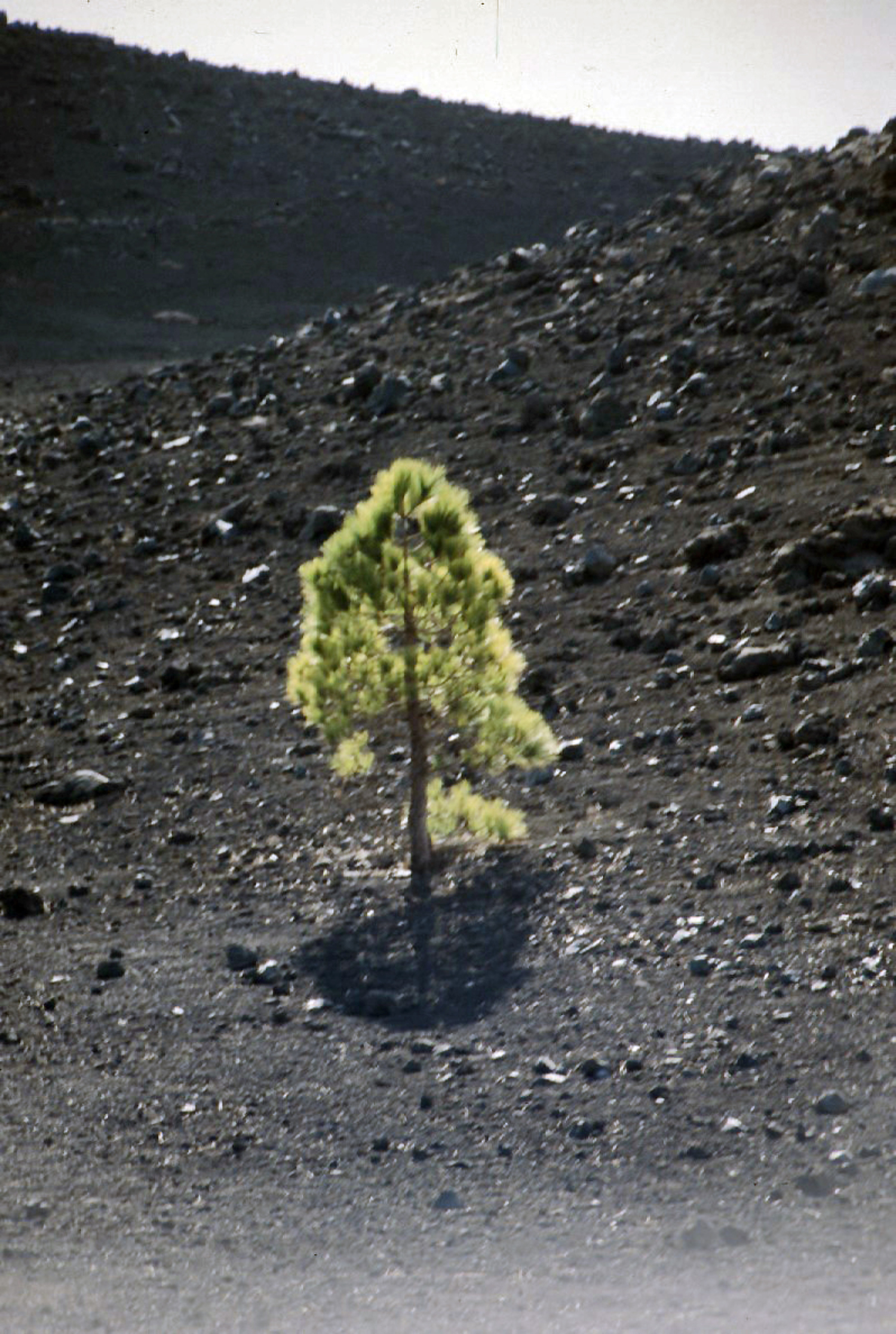
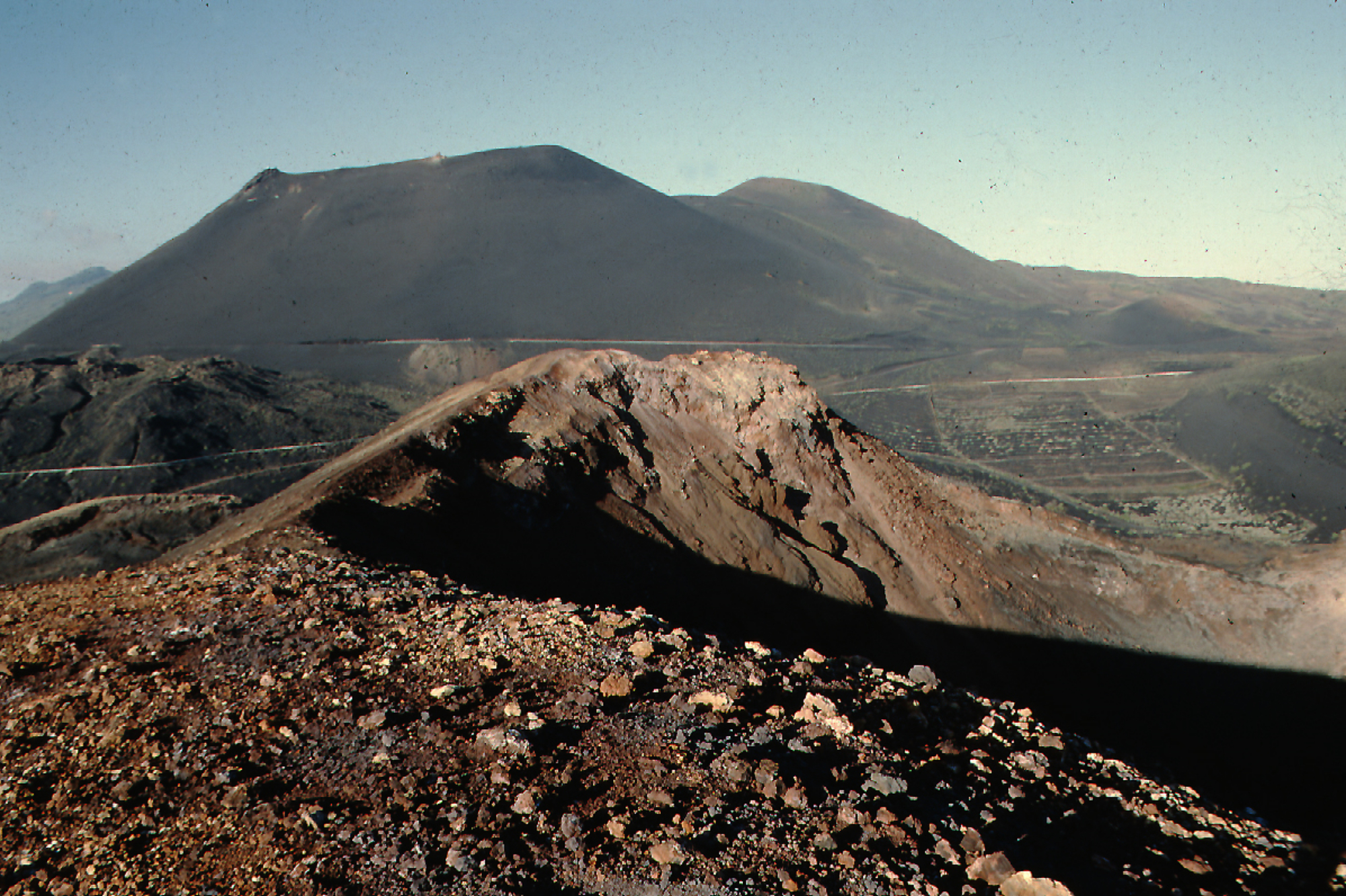
The
southern
tip
of
the
island
is
mantled
by
a
broad
lava
field
produced
during
the
1677-1678
eruption.
Lava
flows
also
reached
the
sea
in
1585,
1646,
1712, 1949, and 1971. (Global Volcanism Program)
La Palma
Elivation 2.426 m
click on pictures to enlarge

La Palma, 26.12. - 6.01. 1988