La Palma
Location: 28.58° N, 17.83° W
Elevation: 2.426 m
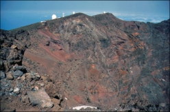
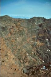
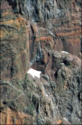
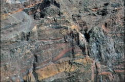
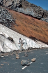
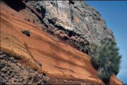
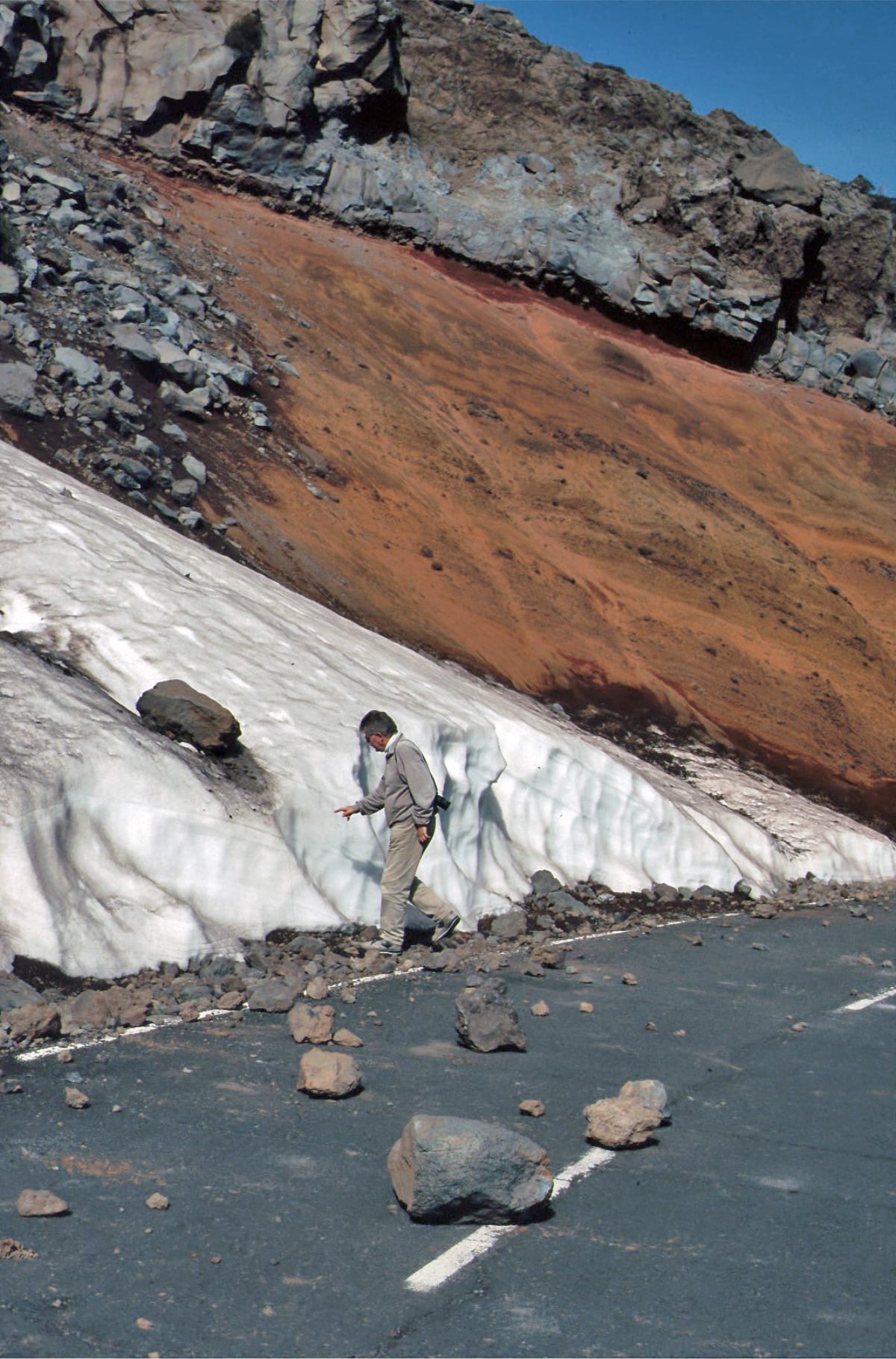
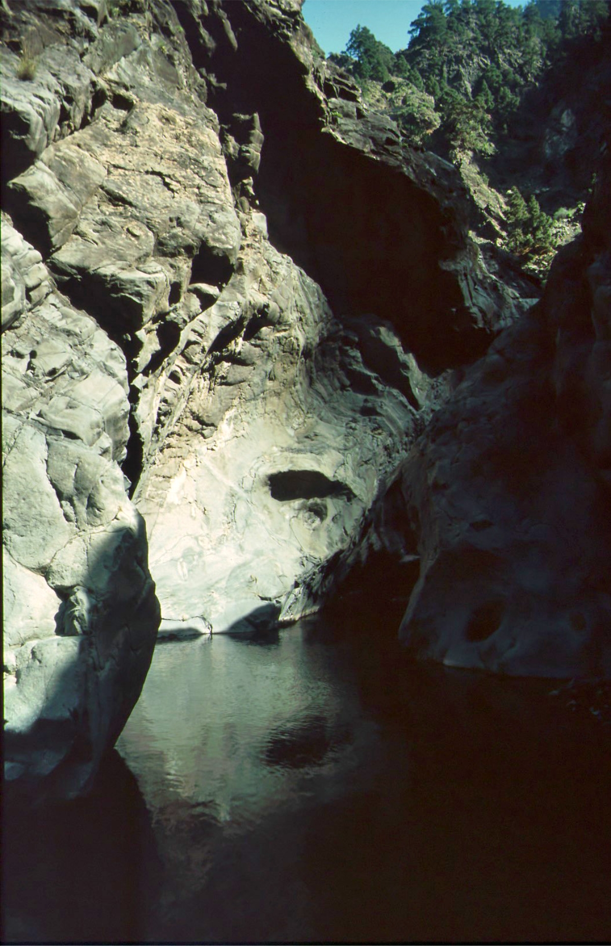
Like all of the Canary Island, La Palma originally formed as a seamont through submarine volcanic activity. La Palma is currently the most
volcanically active of the Canary Islands and was formed three to four
million years ago. Its base lies almost 4,000 metres below sea level and
reaches a height of 2,426 metres above sea level. About a half a million
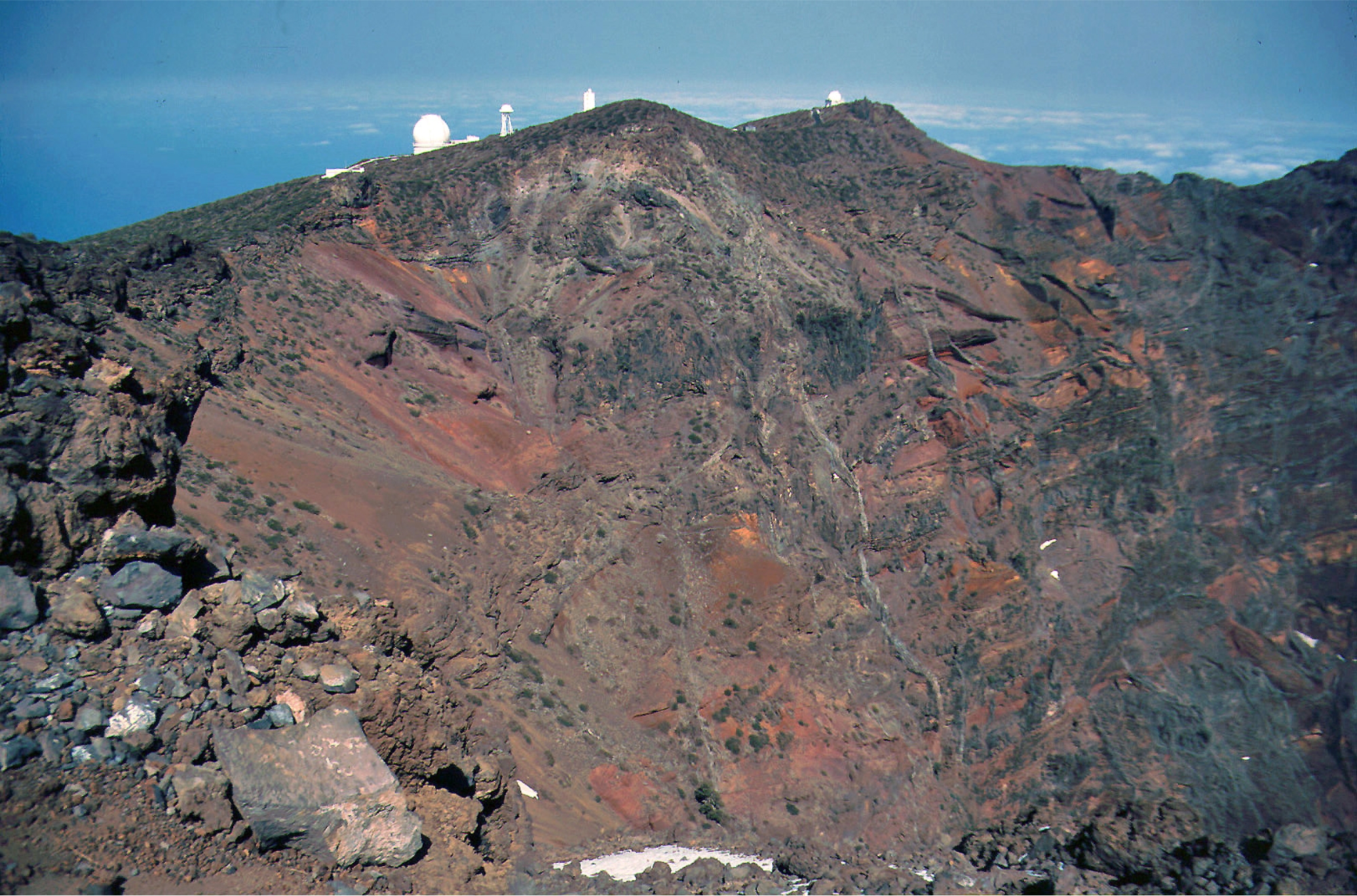
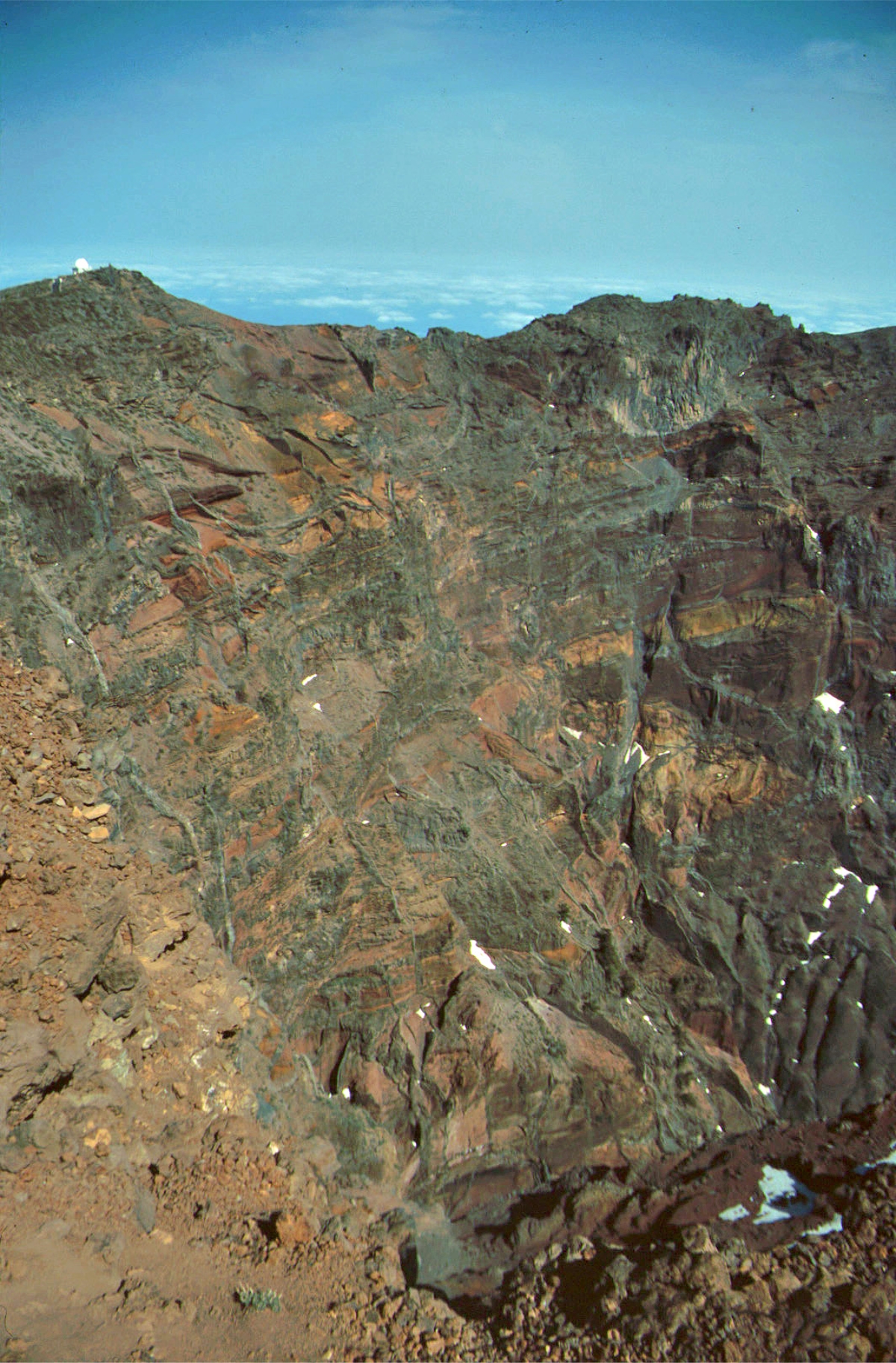
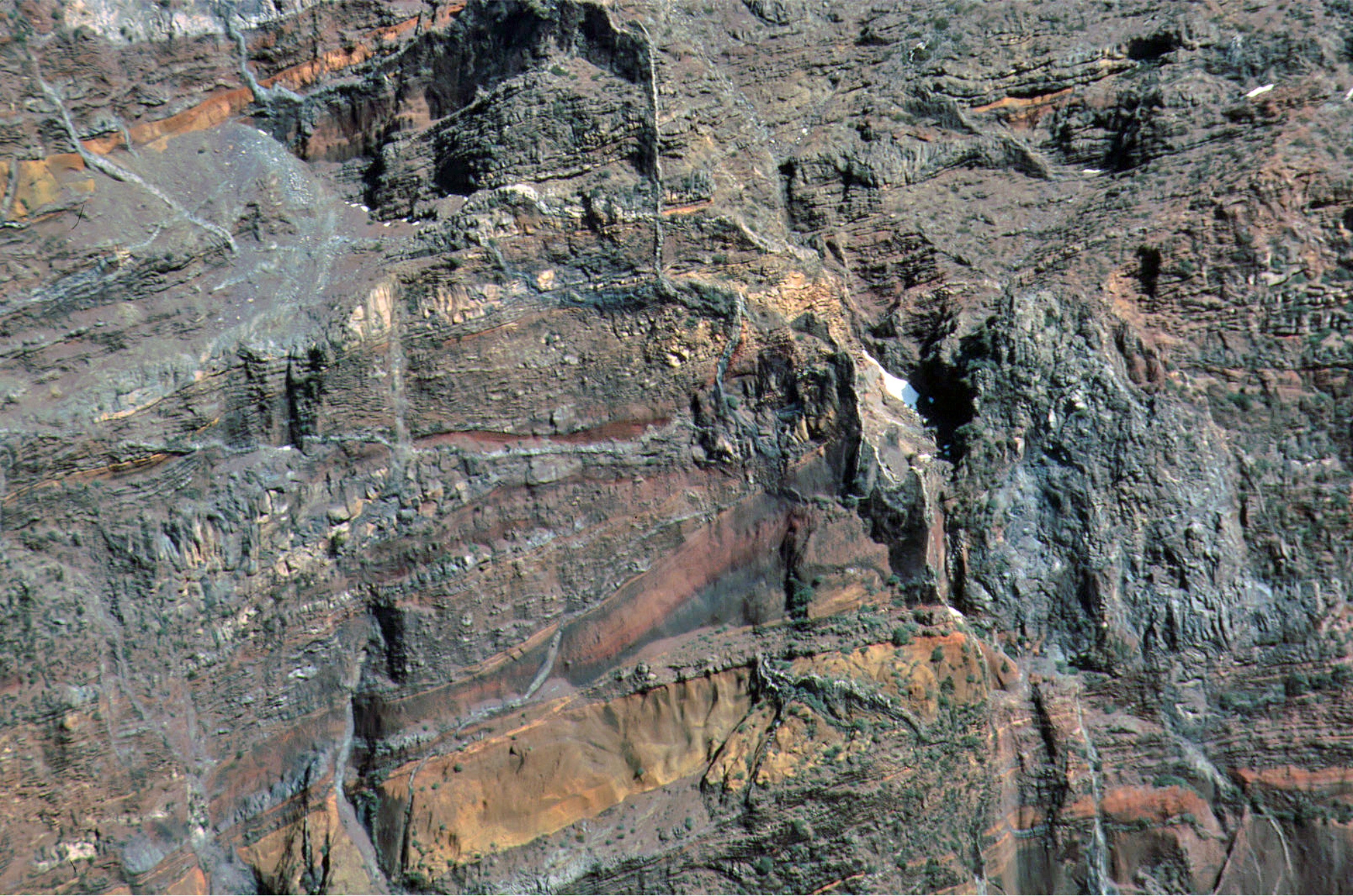
years ago, the volcano, Taburiente, collapsed with a giant landslide,
forming the Caldera de Taburiente. The 47-km-long island of La Palma, is
composed of two large volcanic centers. The older 2426-m-high
northern one is cut by the massive steep-walled Caldera Taburiente. The
younger 1949-m-high Cumbre Vieja, the southern volcano, is one of the
most active in the Canaries. The elongated volcano dates back to about
125,000 years ago and is oriented N-S. Eruptions during the past 7000
years have originated from the abundant cinder cones and craters along
the axis of Cumbre Vieja, producing fissure-fed lava flows that descend
steeply to the sea. Historical eruptions at La Palma, recorded since the
15th century, have produced mild explosive activity and lava flows that damaged populated areas. The
southern tip of the island is mantled by a broad lava field produced during the 1677-1678 eruption. Lava
flows also reached the sea in 1585, 1646, 1712, 1949 (Volcán San Juan, Duraznero, Hoyo Negro) and 1971(
Volcán Teneguia). (Global Volcanism Program)
through submarine volcanic activity. La Palma is currently the most
volcanically active of the Canary Islands and was formed three to four
million years ago. Its base lies almost 4,000 metres below sea level and
reaches a height of 2,426 metres above sea level. About a half a million
years ago, the volcano, Taburiente, collapsed with a giant landslide,
forming the Caldera de Taburiente. The 47-km-long island of La Palma, is
composed of two large volcanic centers. The older 2426-m-high
northern one is cut by the massive steep-walled Caldera Taburiente. The
younger 1949-m-high Cumbre Vieja, the southern volcano, is one of the
most active in the Canaries. The elongated volcano dates back to about
125,000 years ago and is oriented N-S. Eruptions during the past 7000
years have originated from the abundant cinder cones and craters along
the axis of Cumbre Vieja, producing fissure-fed lava flows that descend
steeply to the sea. Historical eruptions at La Palma, recorded since the
15th century, have produced mild explosive activity and lava flows that damaged populated areas. The
southern tip of the island is mantled by a broad lava field produced during the 1677-1678 eruption. Lava
flows also reached the sea in 1585, 1646, 1712, 1949 (Volcán San Juan, Duraznero, Hoyo Negro) and 1971(
Volcán Teneguia). (Global Volcanism Program)


 on the south tip of La Palma")
 HOME
Febr. 1997
HOME
Febr. 1997