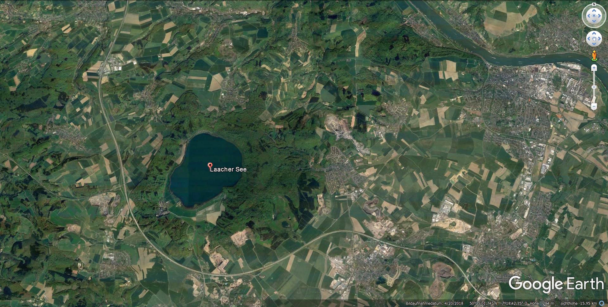
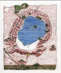
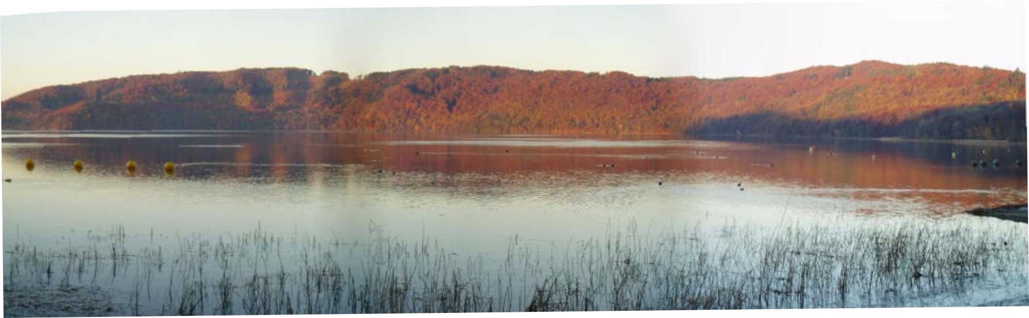
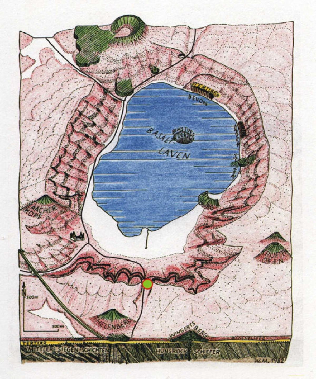
The caldera was formed after the colossal Laacher See eruption dated to 12,900 years ago. The remaining crust collapsed into the empty
magma chamber below, probably two or three days after the eruption.
An estimated 6 km³ of magma was erupted, producing around 16 km³
of tephra. This massive eruption thus had a Volcanic Explosivity Index
(VEI) of 6, and was larger than the colossal 1991 eruption of Mount
Pinatubo (Philippines) which also had a VEI of 6 (10 km³ of tephra
erupted). Tephra deposits from the eruption dammed the Rhine,
creating a 140 km2 (50 sq mi) lake. When the dam broke, an outburst
flood swept downstream, leaving deposits as far away as Bonn. The
Laacher See is a potentially active volcano, proven by seismic activities
and heavy thermal anomalies under the lake. carbon dioxide gas from
magma still bubbles up at the southeastern shore.
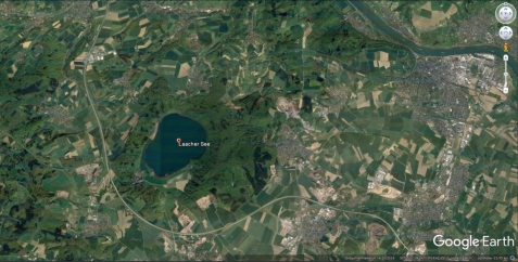
Eifel
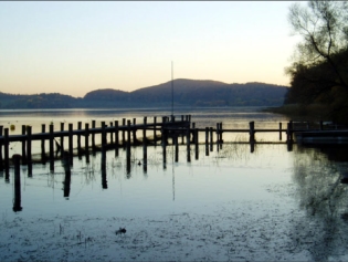
Laacher See
Location: 50.24 ° N, 7.16° E
Elevation: 274 m
to 12,900 years ago. The remaining crust collapsed into the empty
magma chamber below, probably two or three days after the eruption.
An estimated 6 km³ of magma was erupted, producing around 16 km³
of tephra. This massive eruption thus had a Volcanic Explosivity Index
(VEI) of 6, and was larger than the colossal 1991 eruption of Mount
Pinatubo (Philippines) which also had a VEI of 6 (10 km³ of tephra
erupted). Tephra deposits from the eruption dammed the Rhine,
creating a 140 km2 (50 sq mi) lake. When the dam broke, an outburst
flood swept downstream, leaving deposits as far away as Bonn. The
Laacher See is a potentially active volcano, proven by seismic activities
and heavy thermal anomalies under the lake. carbon dioxide gas from
magma still bubbles up at the southeastern shore.
Eifel
Laacher See
Location: 50.24 ° N, 7.16° E
Elevation: 274 m

 6. Nov. 2003
HOME
6. Nov. 2003
HOME
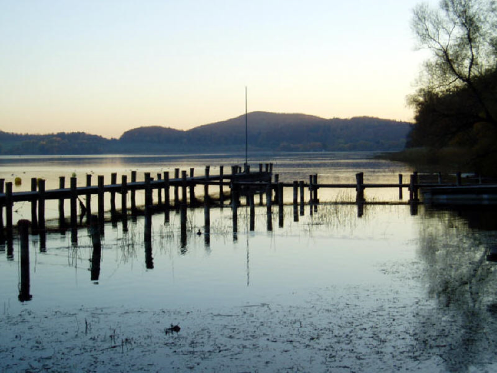
to 12,900 years ago. The remaining crust collapsed into the empty
magma chamber below, probably two or three days after the eruption.
An estimated 6 km³ of magma was erupted, producing around 16 km³
of tephra. This massive eruption thus had a Volcanic Explosivity Index
(VEI) of 6, and was larger than the colossal 1991 eruption of Mount
Pinatubo (Philippines) which also had a VEI of 6 (10 km³ of tephra
erupted). Tephra deposits from the eruption dammed the Rhine,
creating a 140 km2 (50 sq mi) lake. When the dam broke, an outburst
flood swept downstream, leaving deposits as far away as Bonn. The
Laacher See is a potentially active volcano, proven by seismic activities
and heavy thermal anomalies under the lake. carbon dioxide gas from
magma still bubbles up at the southeastern shore.
Eifel
Laacher See
Location: 50.24 ° N, 7.16° E
Elevation: 274 m
 6. Nov. 2003
HOME
6. Nov. 2003
HOME