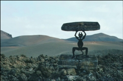
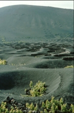
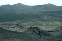
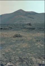
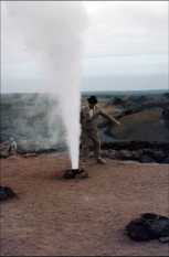
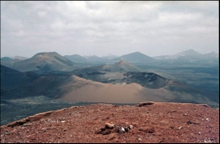
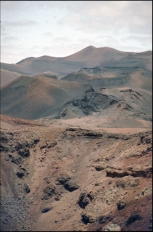
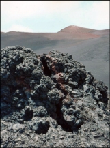
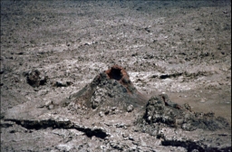
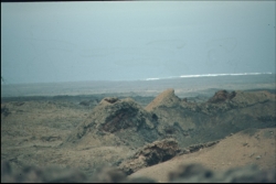
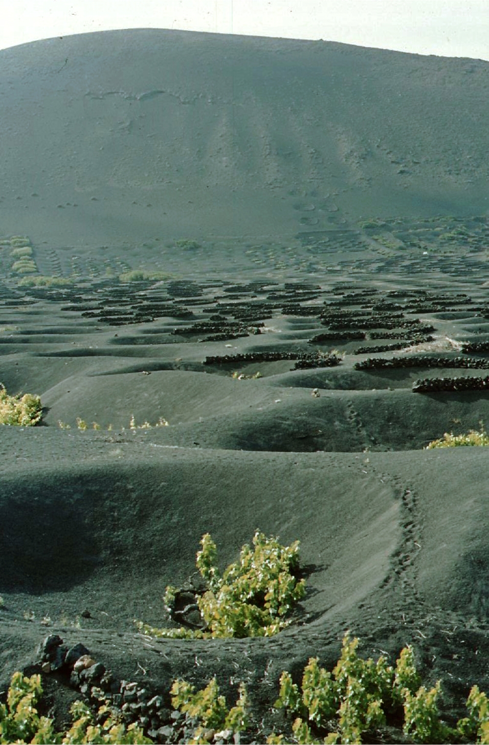
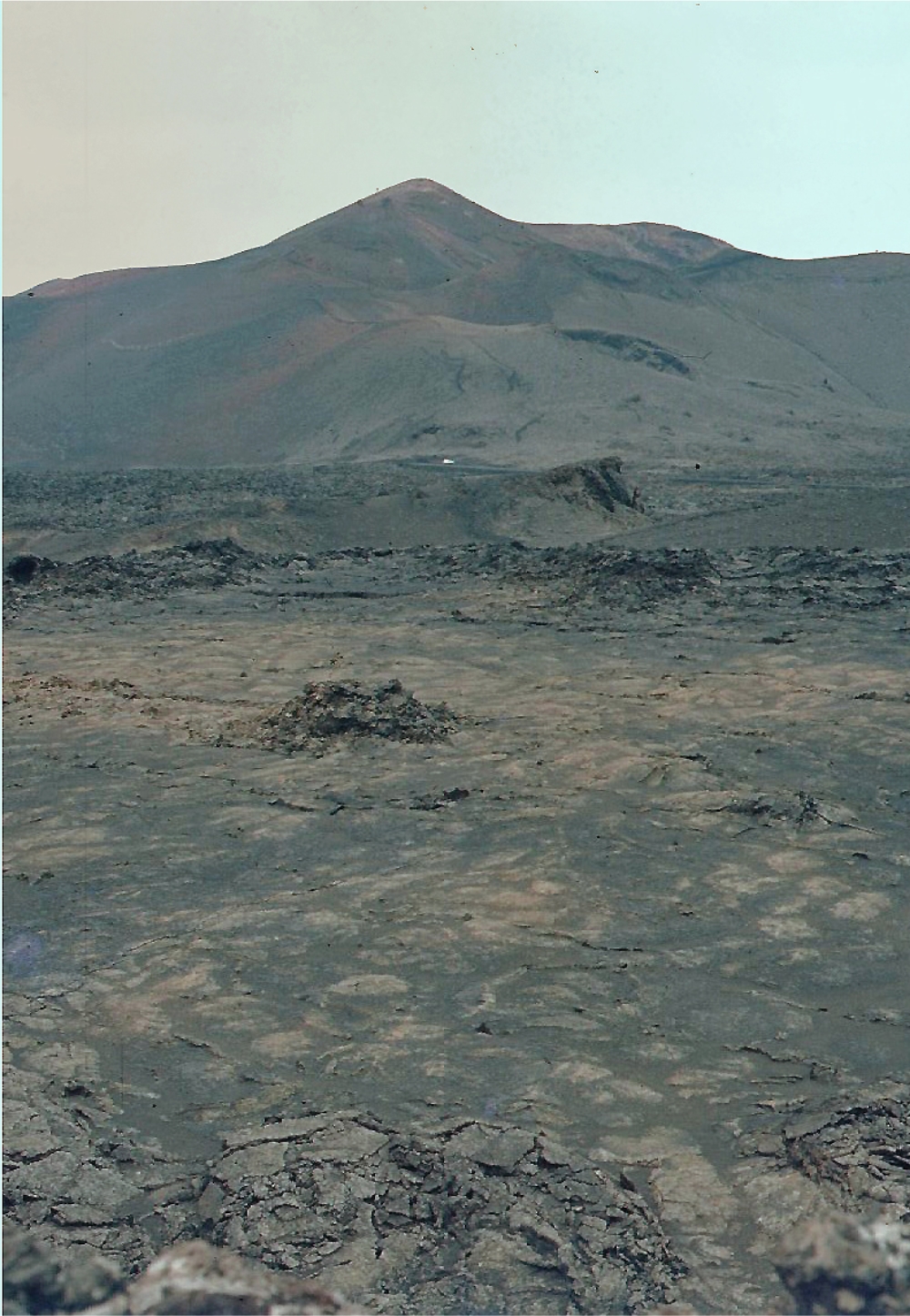
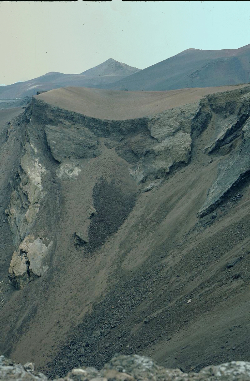
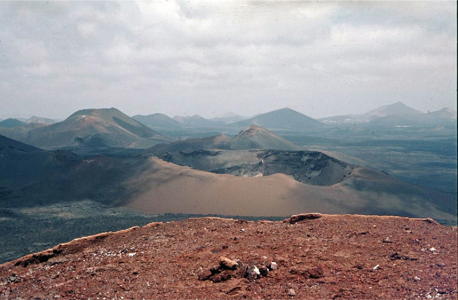
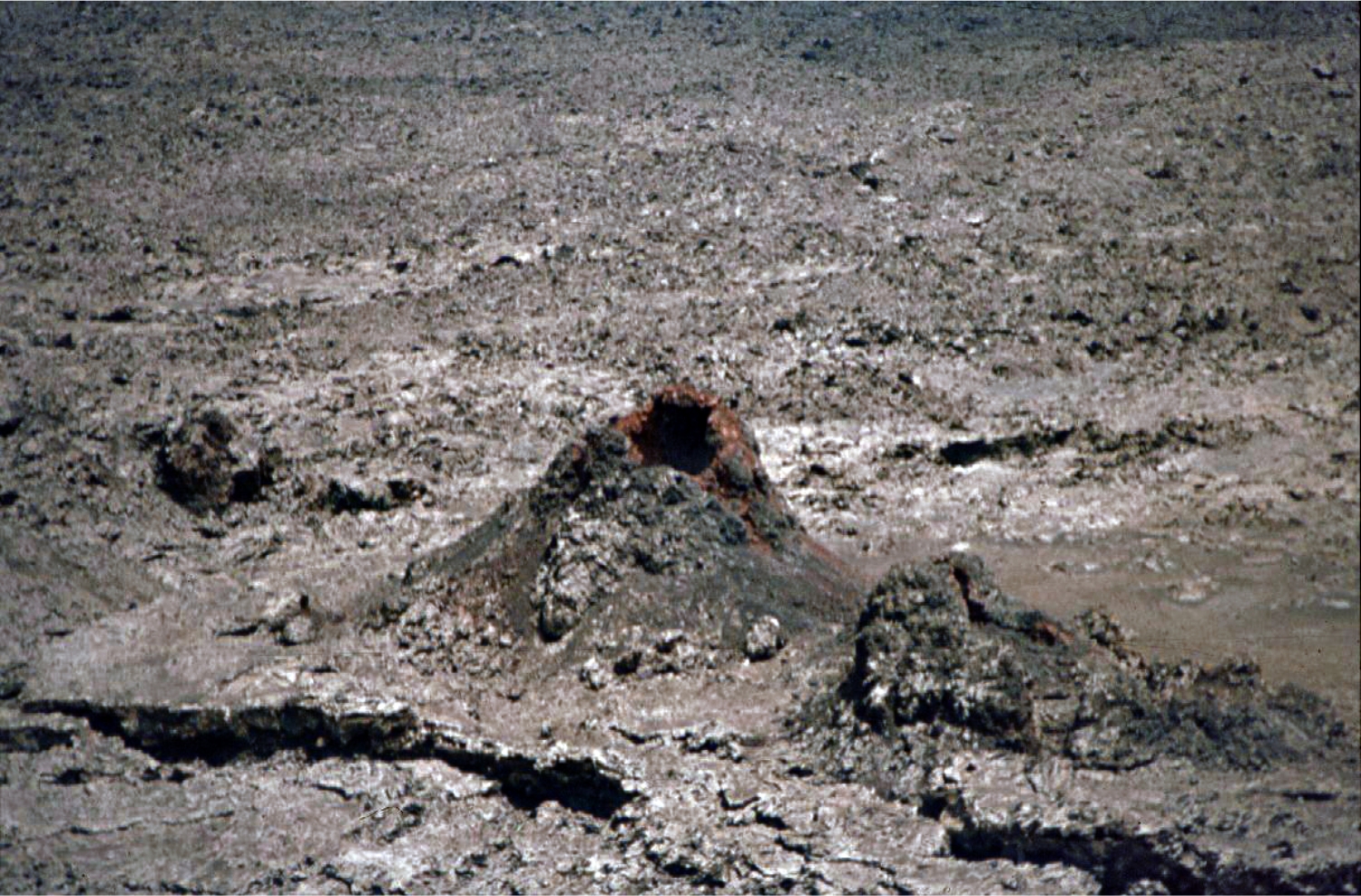
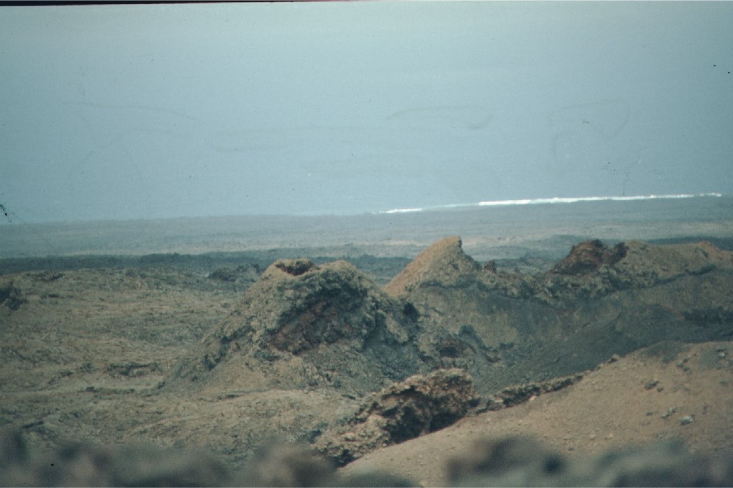
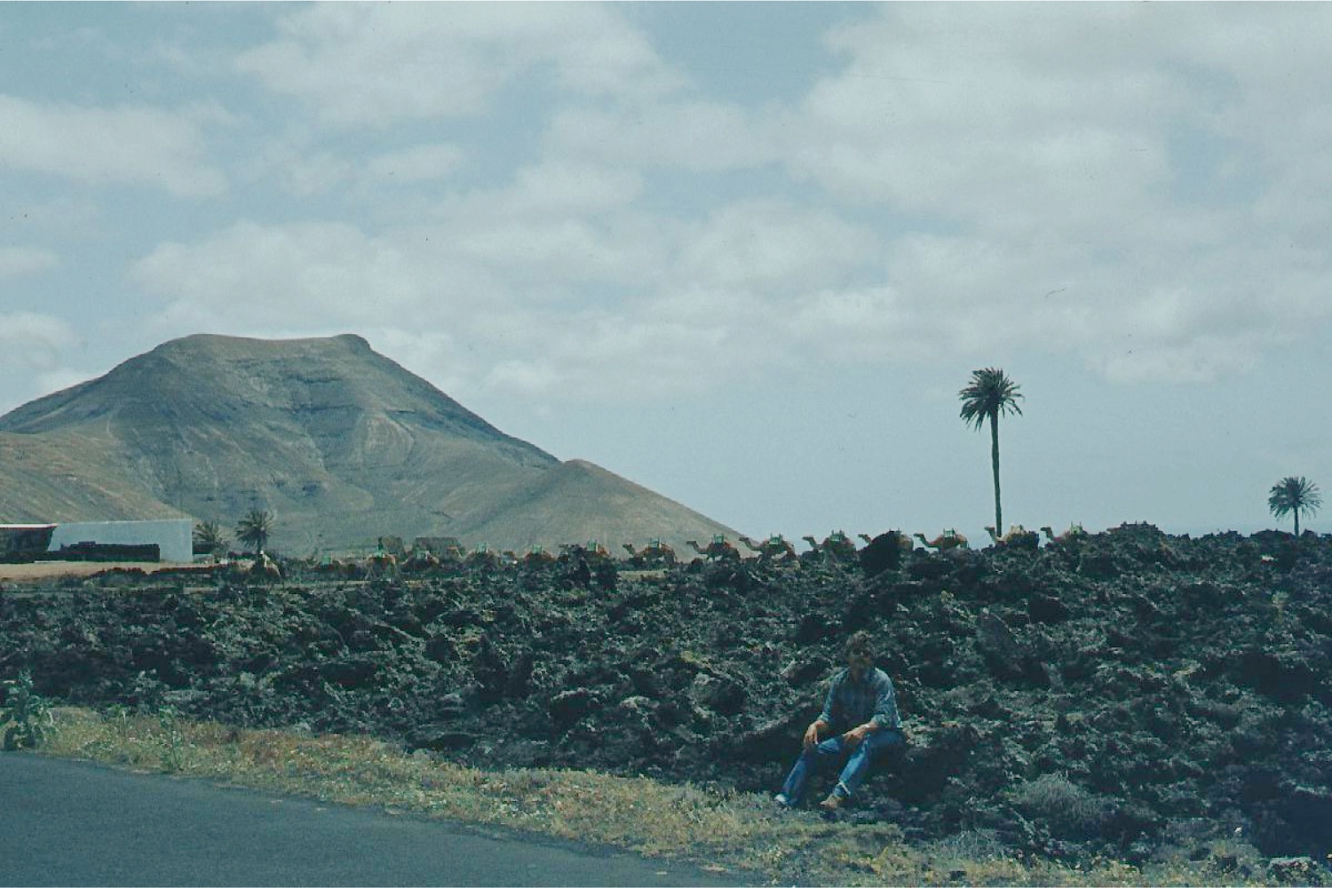
The 60-km-long island of Lanzarote at the NE end of the Canary Islands contains the largest concentration of
youthful volcanism in the Canaries. Pleistocene-and-
Holocene cinder cones and lava flows erupted along NE-
SW-trending fissures are found throughout the low-altitude
arid island and on smaller islands to the north. The largest
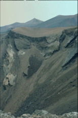
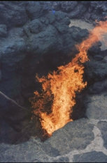
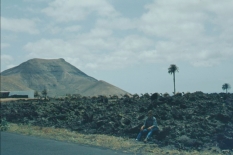
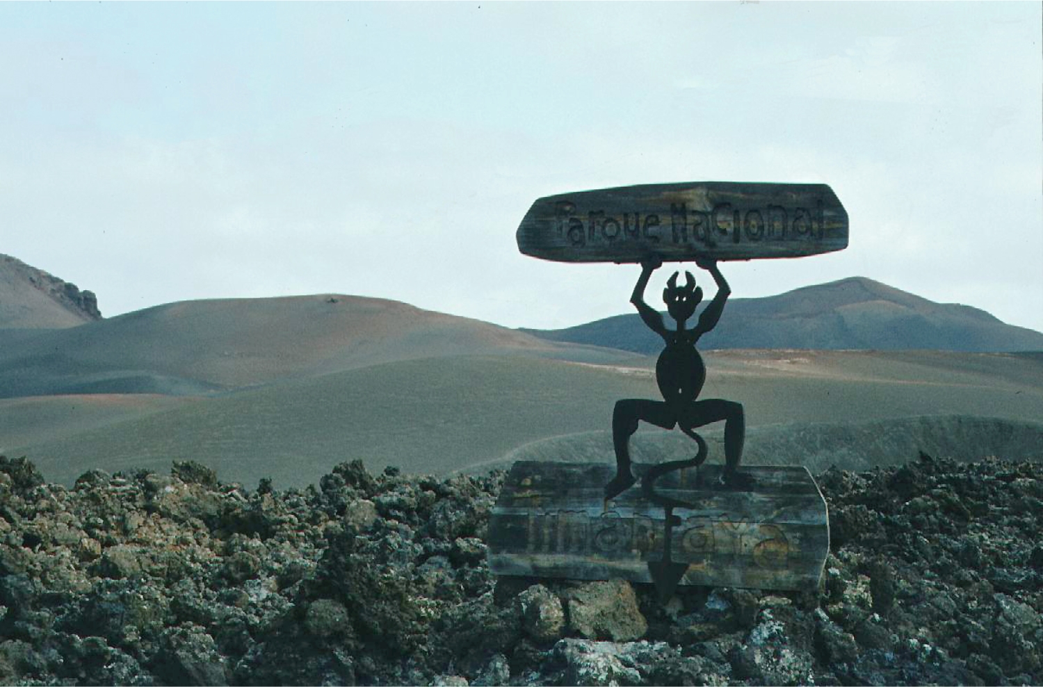
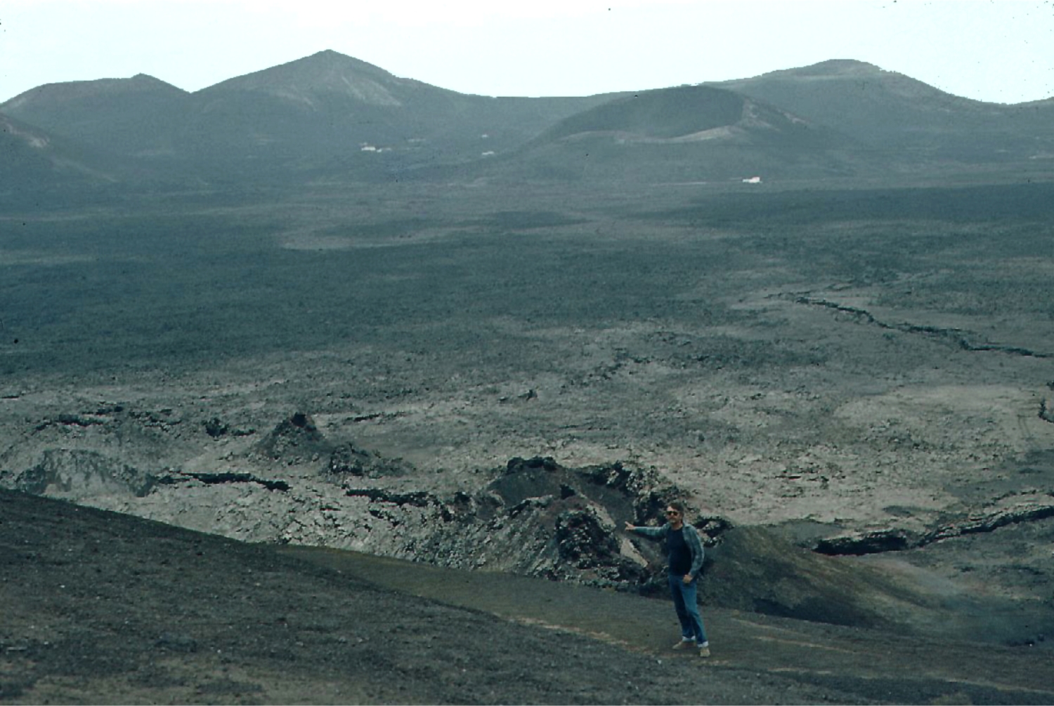
historical eruption of the Canary Islands took place during
1730-36, when long-term eruptions from a NE-SW-
trending fissure formed the Montañas del Fuego and produced voluminous lava
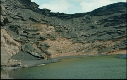
flows that covered about 200 sq km. The lava flows reached the western coast along
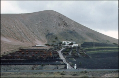
a broad, 20-km-wide front. The villages of Maretas and Santa Catalina were
destroyed, along with the most fertile valleys and estates of the arid island. An
eruption during 1824 produced a much smaller lava flow that reached the SW coast.
(Global Volcanic Program)
Lanzarote
Elevation: 670 m
Latitude: 29.03°N
Longitude: 13.63°W
Canary Islands contains the largest concentration of
youthful volcanism in the Canaries. Pleistocene-and-
Holocene cinder cones and lava flows erupted along NE-
SW-trending fissures are found throughout the low-altitude
arid island and on smaller islands to the north. The largest
historical eruption of the Canary Islands took place during
1730-36, when long-term eruptions from a NE-SW-
trending fissure formed the Montañas del Fuego and produced voluminous lava
flows that covered about 200 sq km. The lava flows reached the western coast along
a broad, 20-km-wide front. The villages of Maretas and Santa Catalina were
destroyed, along with the most fertile valleys and estates of the arid island. An
eruption during 1824 produced a much smaller lava flow that reached the SW coast.
(Global Volcanic Program)
Lanzarote
Elevation: 670 m
Latitude: 29.03°N
Longitude: 13.63°W
 click on Pictures to enlarge
May/June 1982
click on Pictures to enlarge
May/June 1982
 HOME
Lanzarote May/June 1982
HOME
Lanzarote May/June 1982
Canary Islands contains the largest concentration of
youthful volcanism in the Canaries. Pleistocene-and-
Holocene cinder cones and lava flows erupted along NE-
SW-trending fissures are found throughout the low-altitude
arid island and on smaller islands to the north. The largest
historical eruption of the Canary Islands took place during
1730-36, when long-term eruptions from a NE-SW-
trending fissure formed the Montañas del Fuego and produced voluminous lava
flows that covered about 200 sq km. The lava flows reached the western coast along
a broad, 20-km-wide front. The villages of Maretas and Santa Catalina were
destroyed, along with the most fertile valleys and estates of the arid island. An
eruption during 1824 produced a much smaller lava flow that reached the SW coast.
(Global Volcanic Program)
Lanzarote
Elevation: 670 m
Latitude: 29.03°N
Longitude: 13.63°W


 click on Pictures to enlarge
May/June 1982
click on Pictures to enlarge
May/June 1982


 HOME
Lanzarote May/June 1982
HOME
Lanzarote May/June 1982