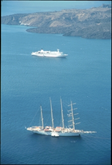
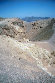
Santorini Néa Kaméni
Location: 36.404 N, 25.396 E
Elevation: 124 m
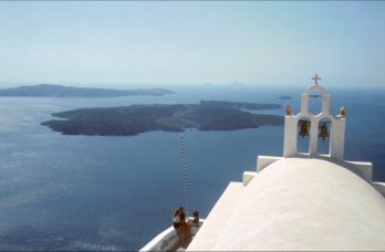
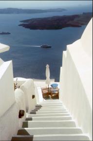
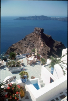
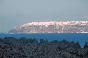
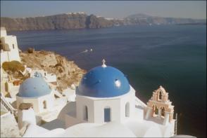
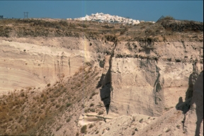
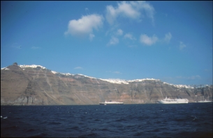
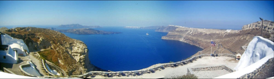
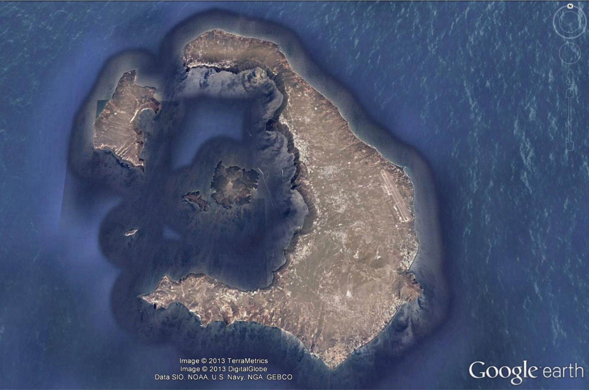
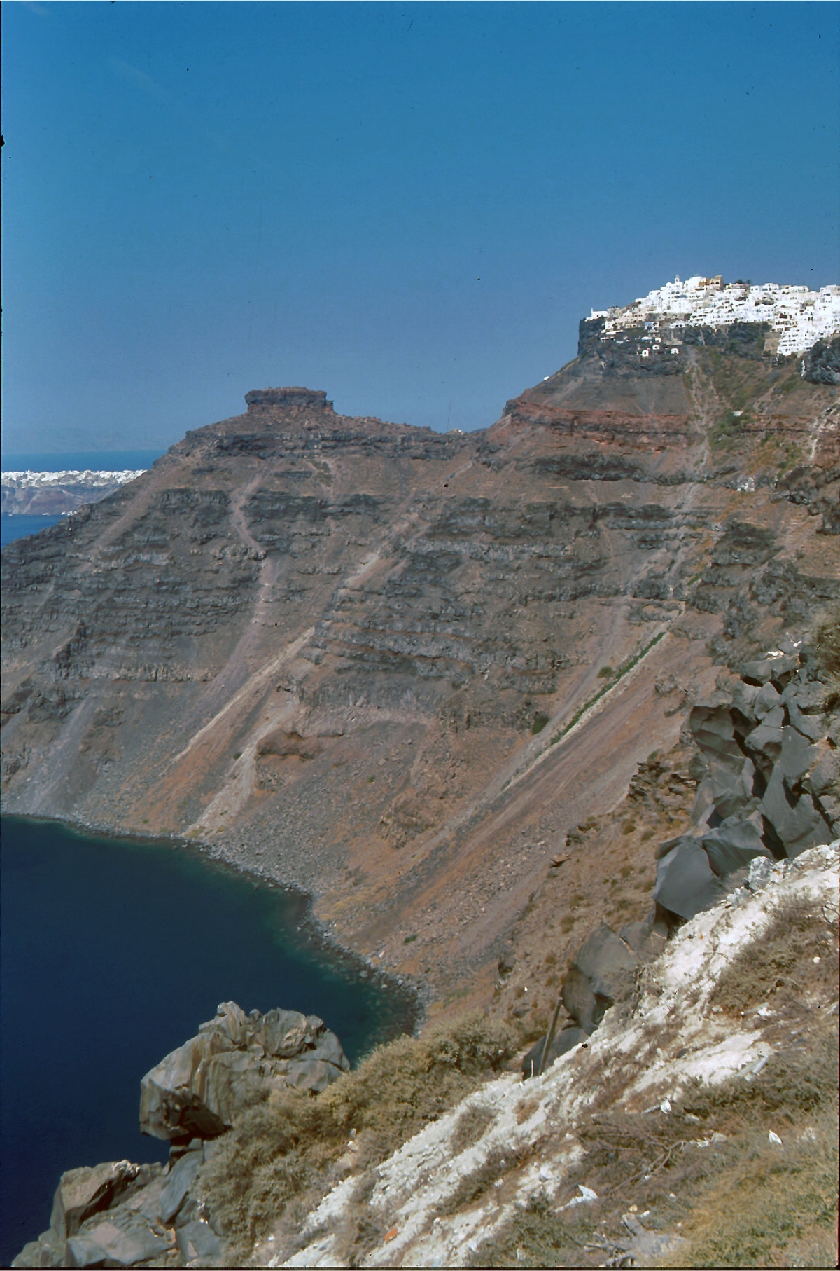
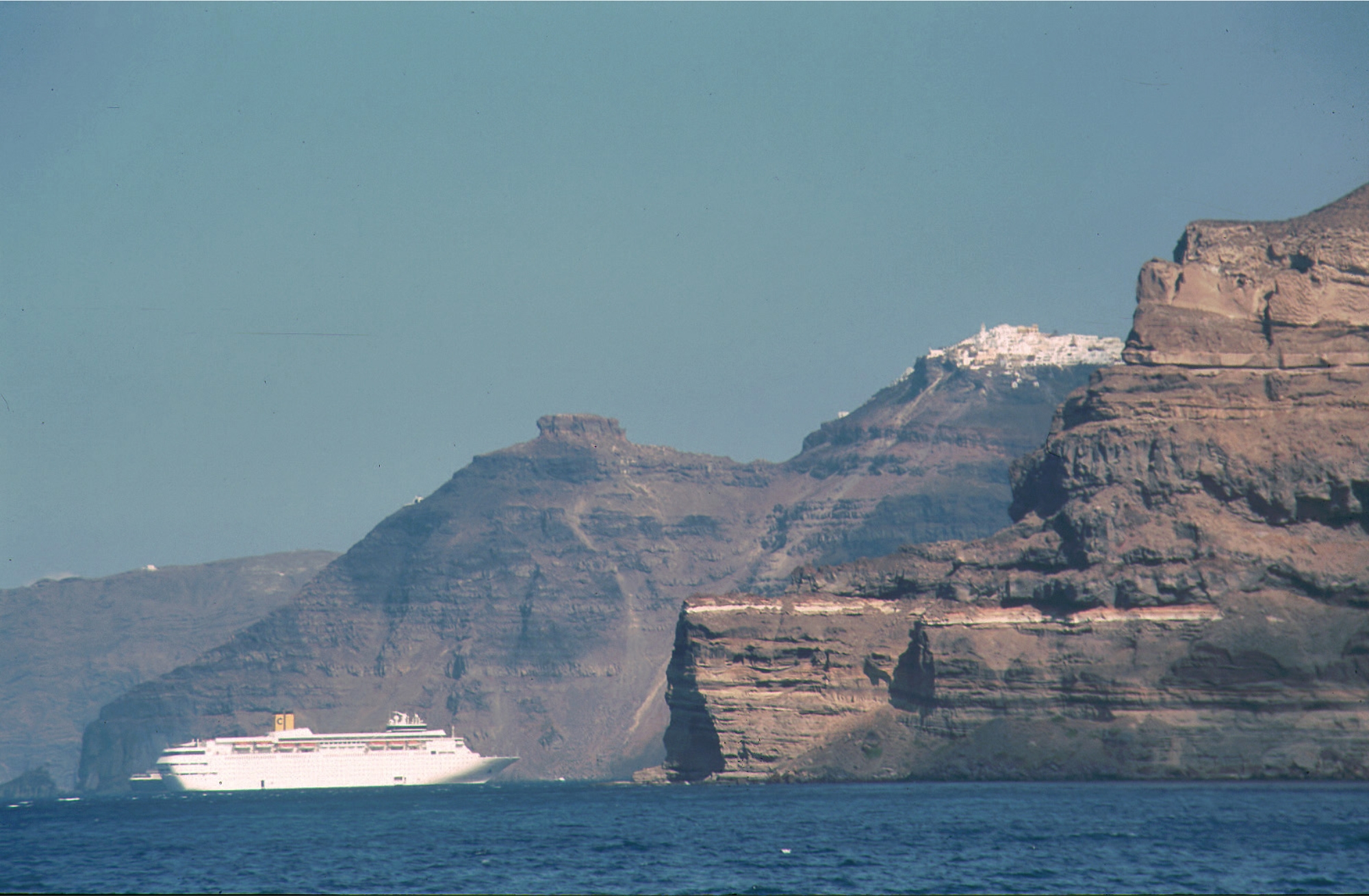
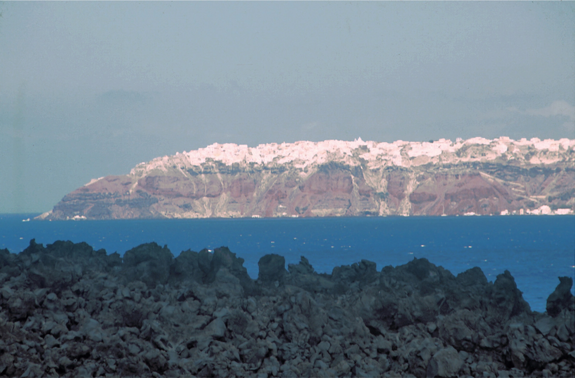
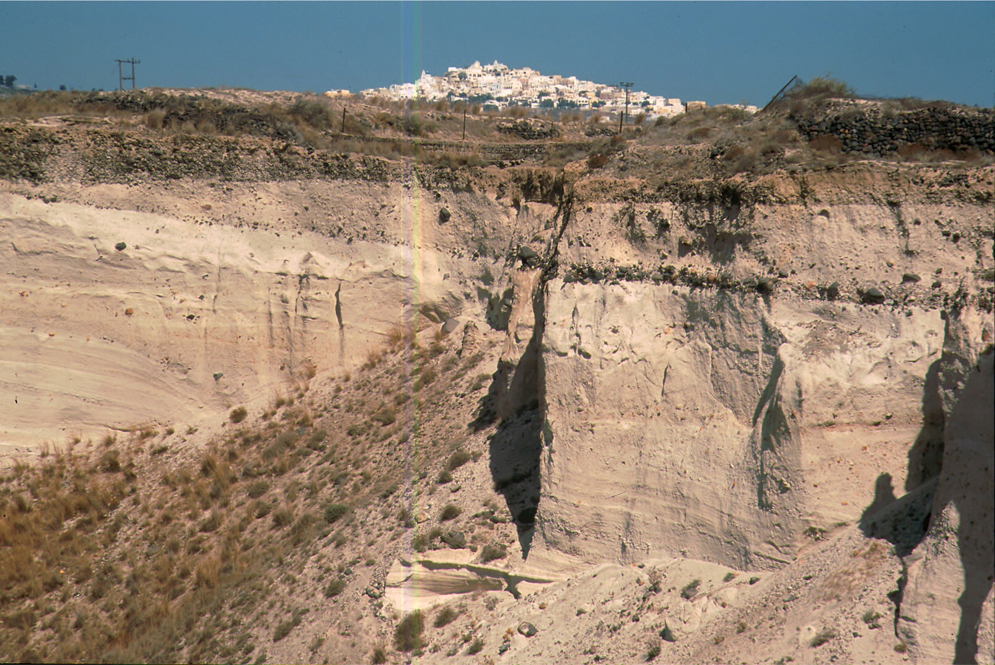
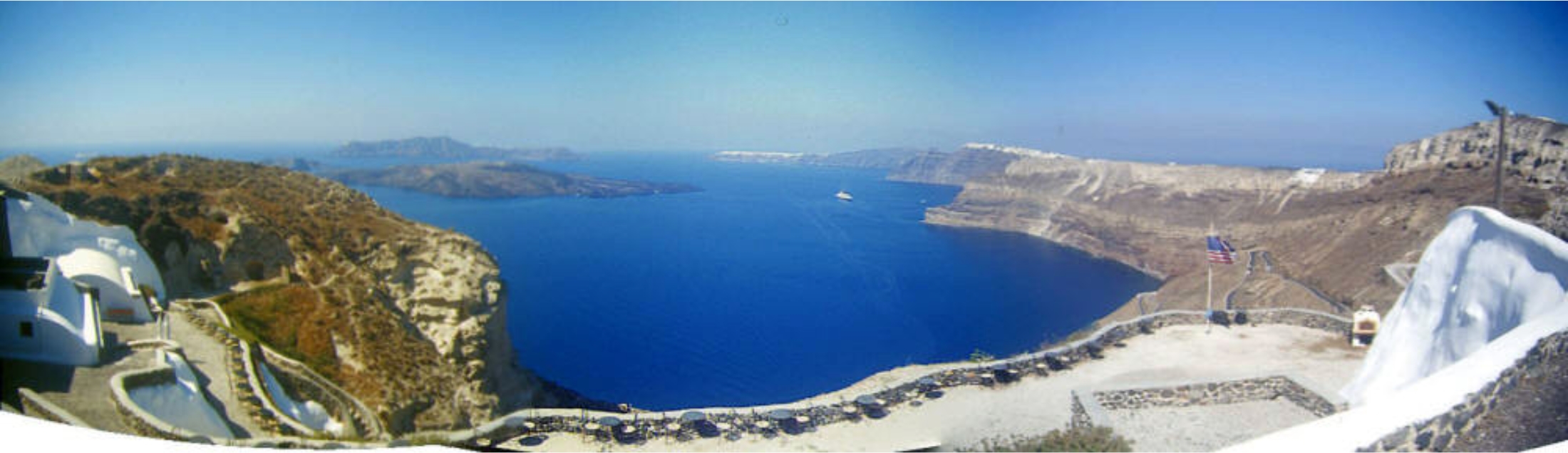
Renowned Santorini (Thera), with its steep-walled caldera
rim draped by whitewashed villages overlooking an active
volcanic island in the center of a caldera bay, is one of the
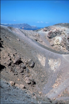
scenic highlights of the Aegean. The circular island group is
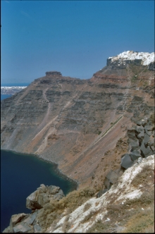
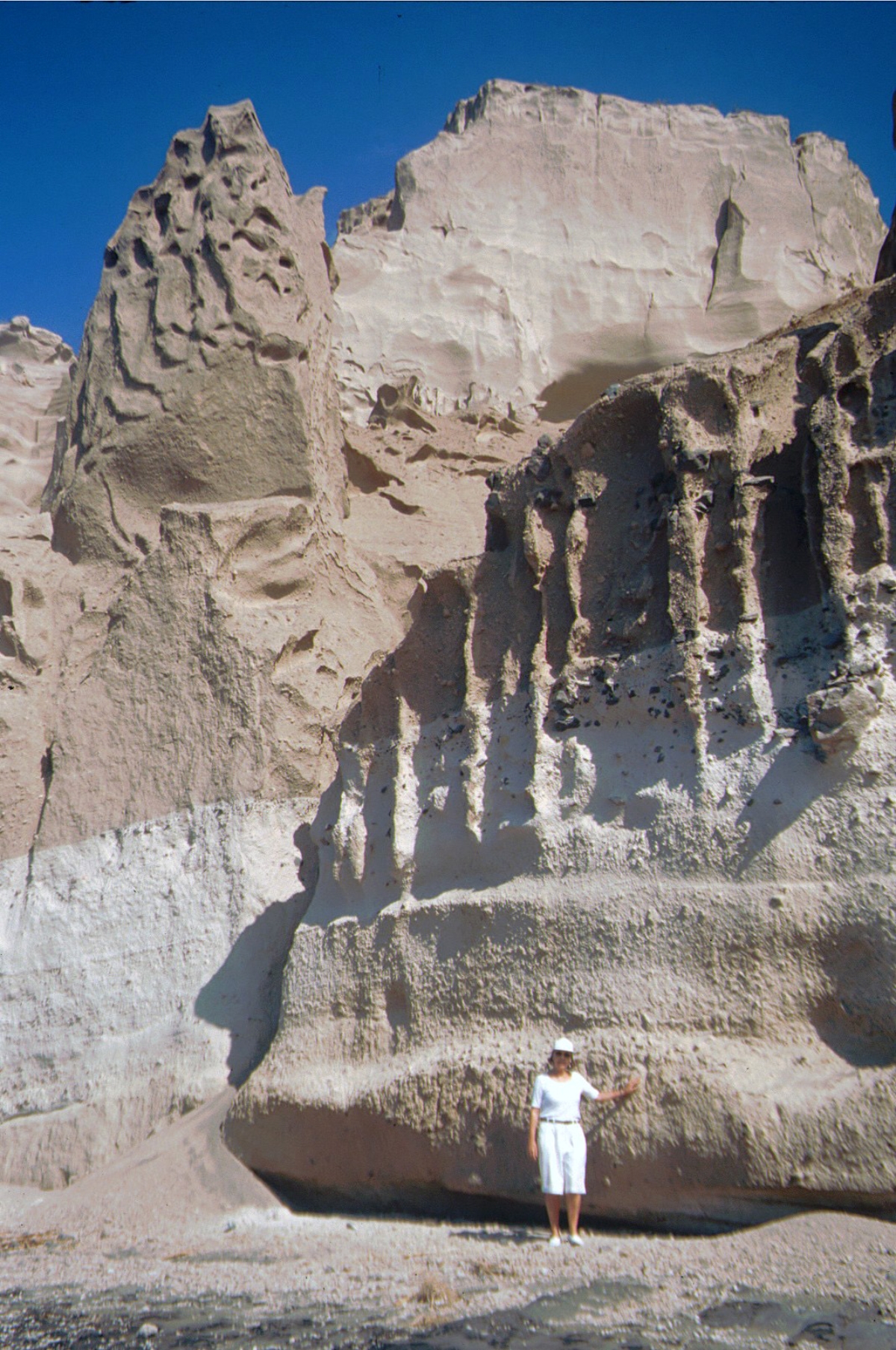
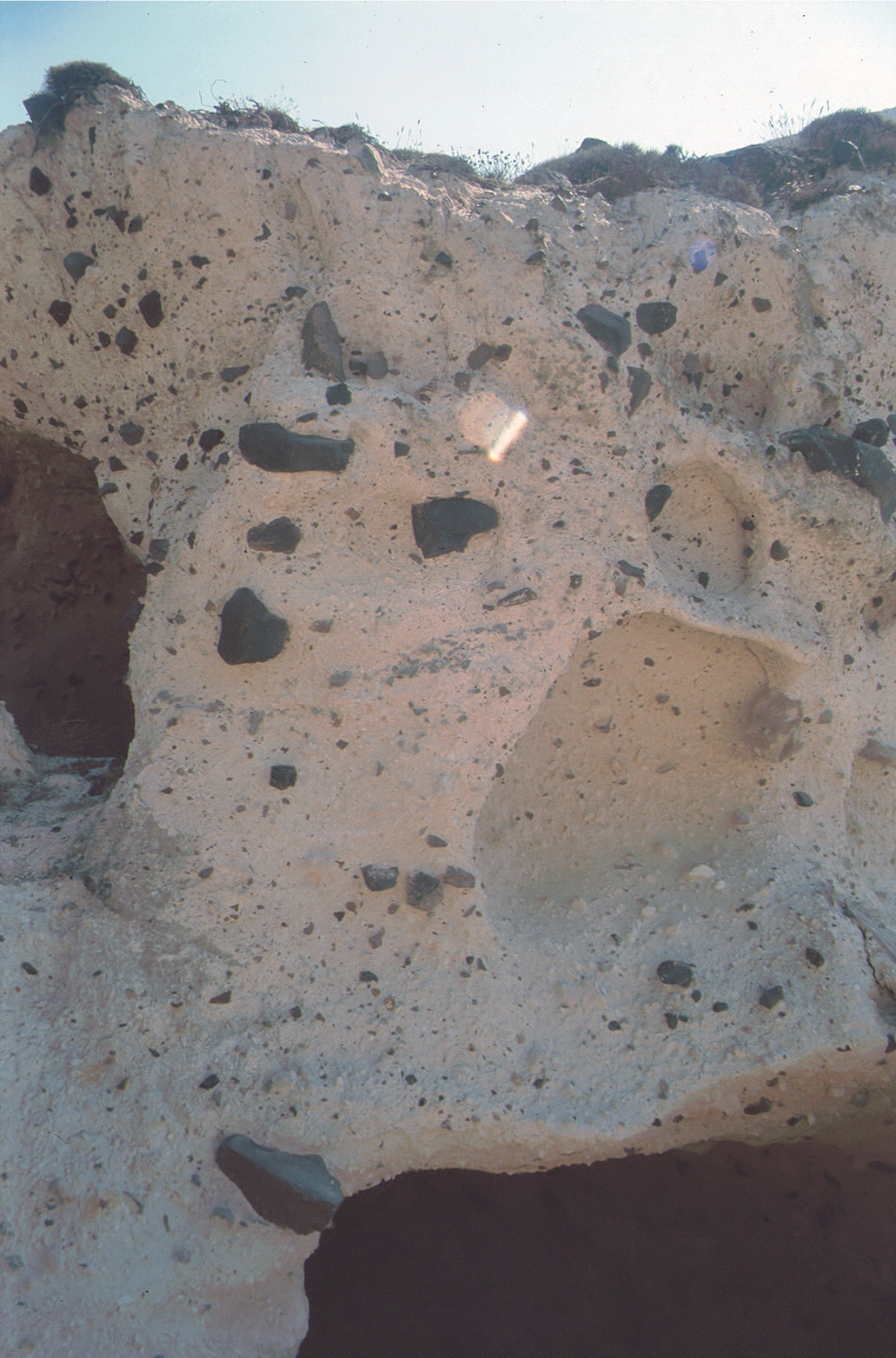
composed of overlapping shield volcanoes cut by at least
four partially overlapping calderas. The oldest southern
caldera was formed about 180,000 years before present
(BP), followed by the Skaros caldera about 70,000 years
BP, and then the Cape Riva caldera about 21,000 years BP.
The youngest caldera formed about 3600 years BP during
the Late-Bronze-Age Minoan eruption that forced abandonment of the thriving Aegean Sea
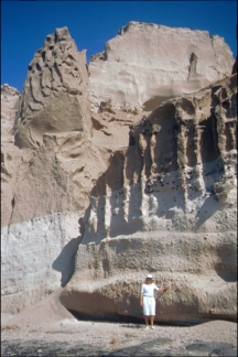
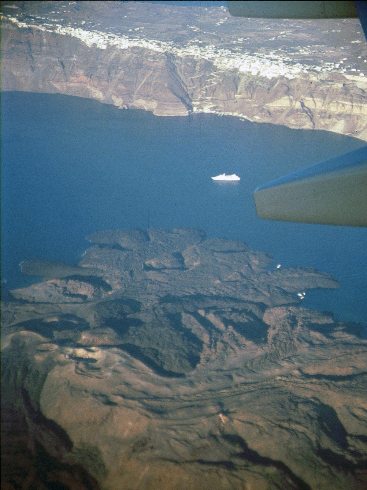
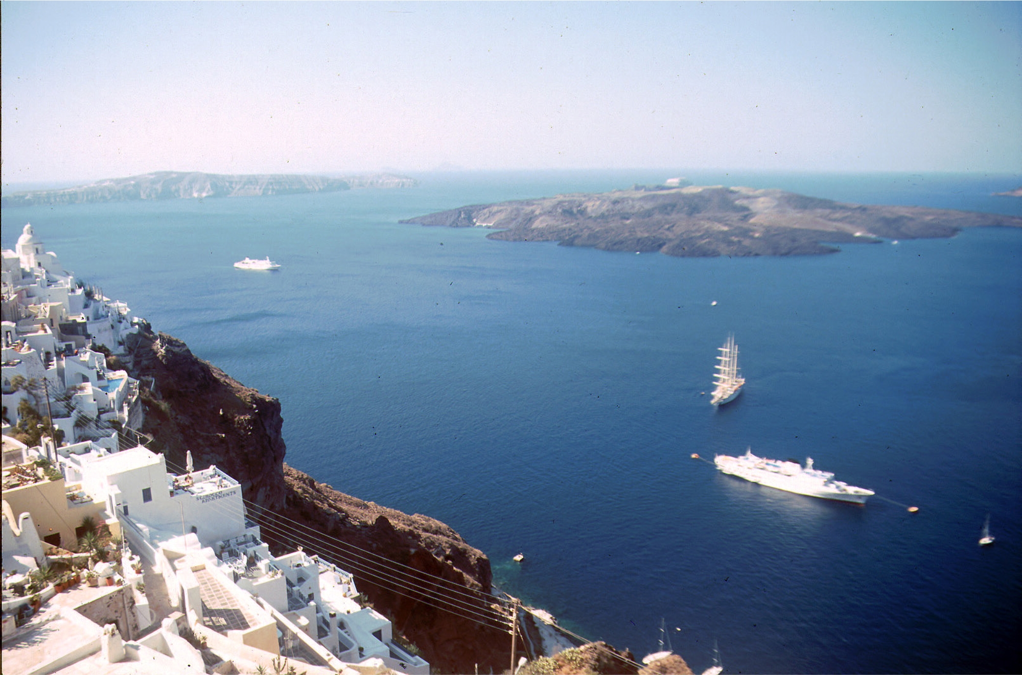
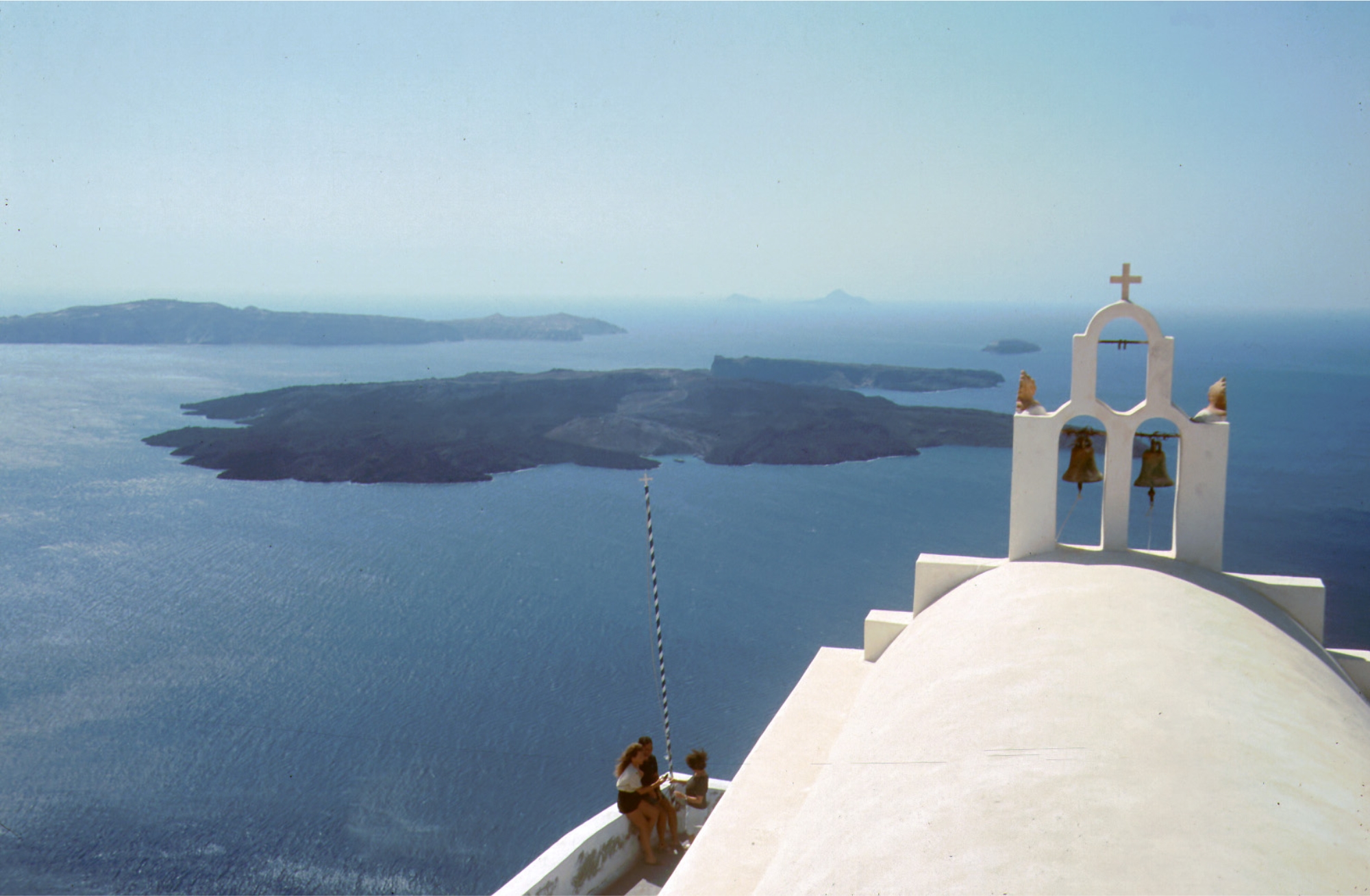
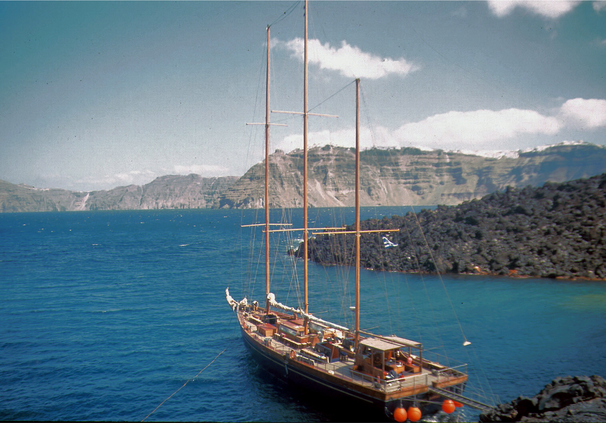
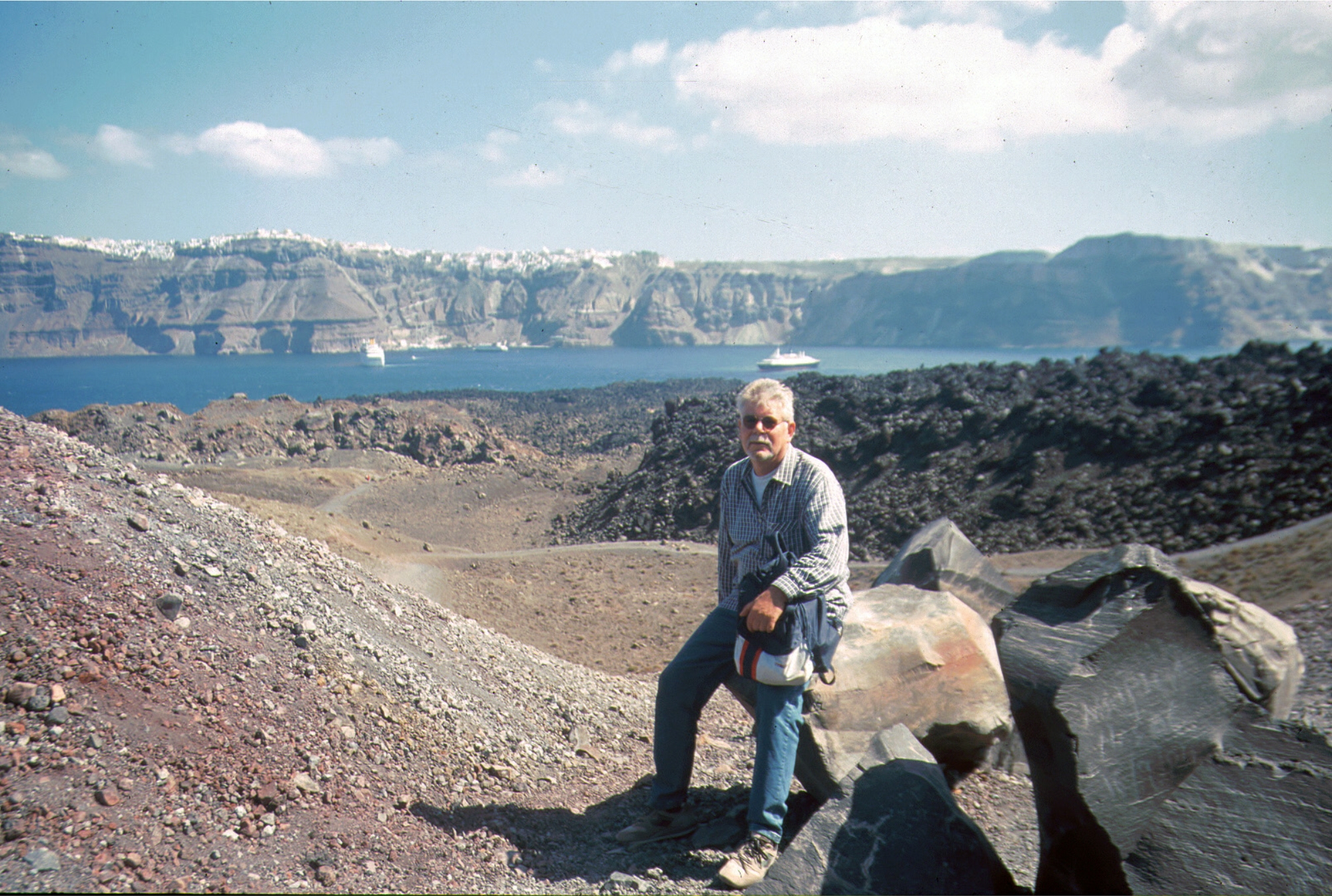
island. The caldera measures about 12 by 7 km, with 300 m high steep cliffs on three sides.
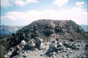
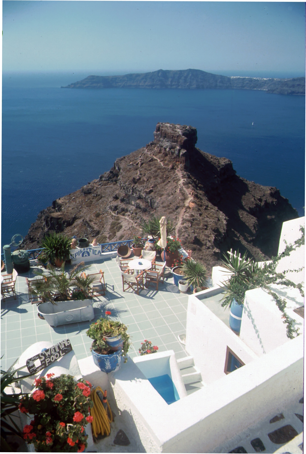
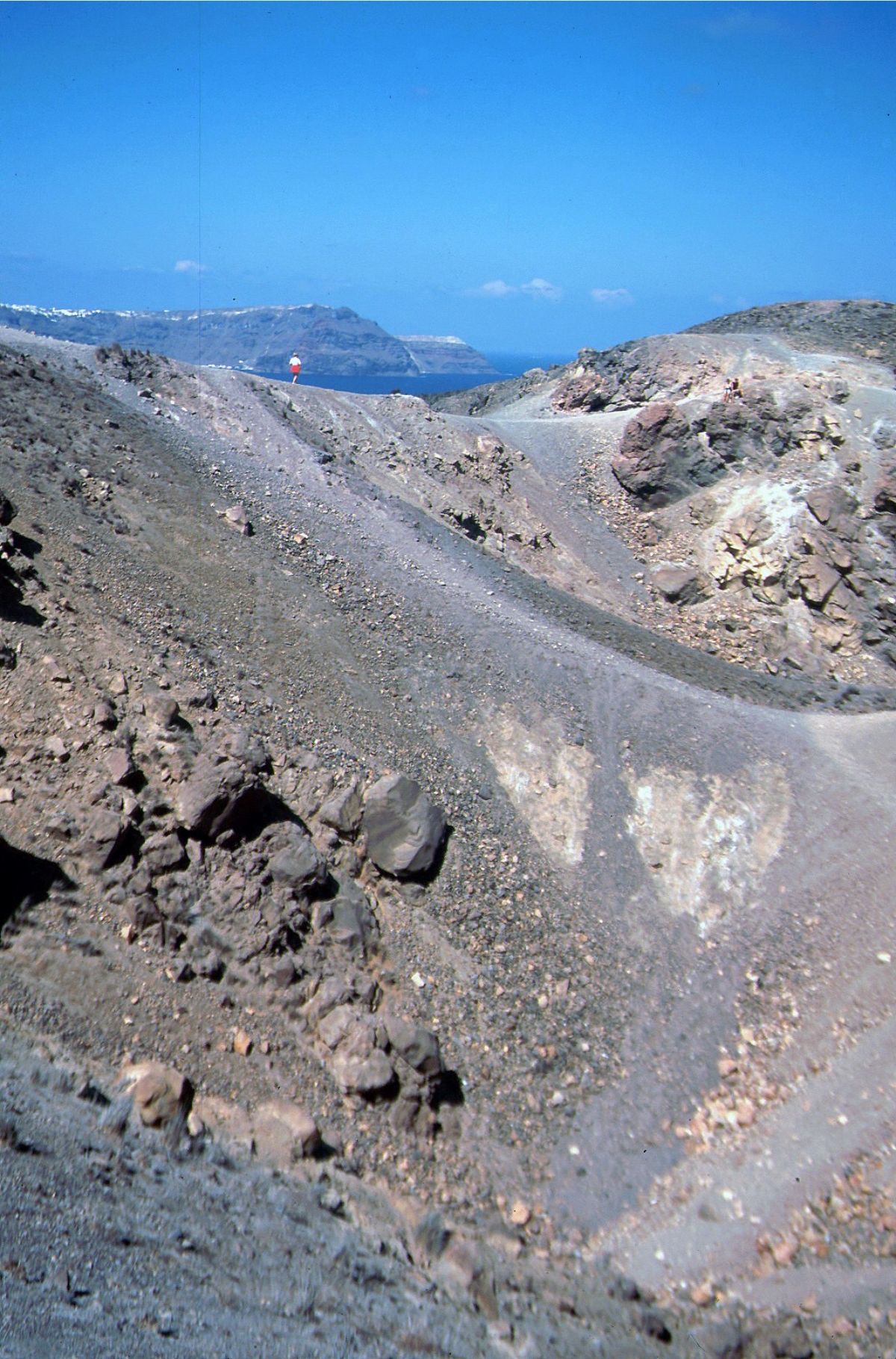
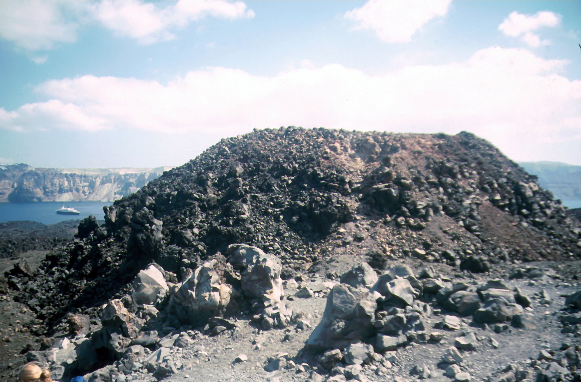
Post-Minoan eruptions beginning in 197 BC constructed a series of lava domes and flows that
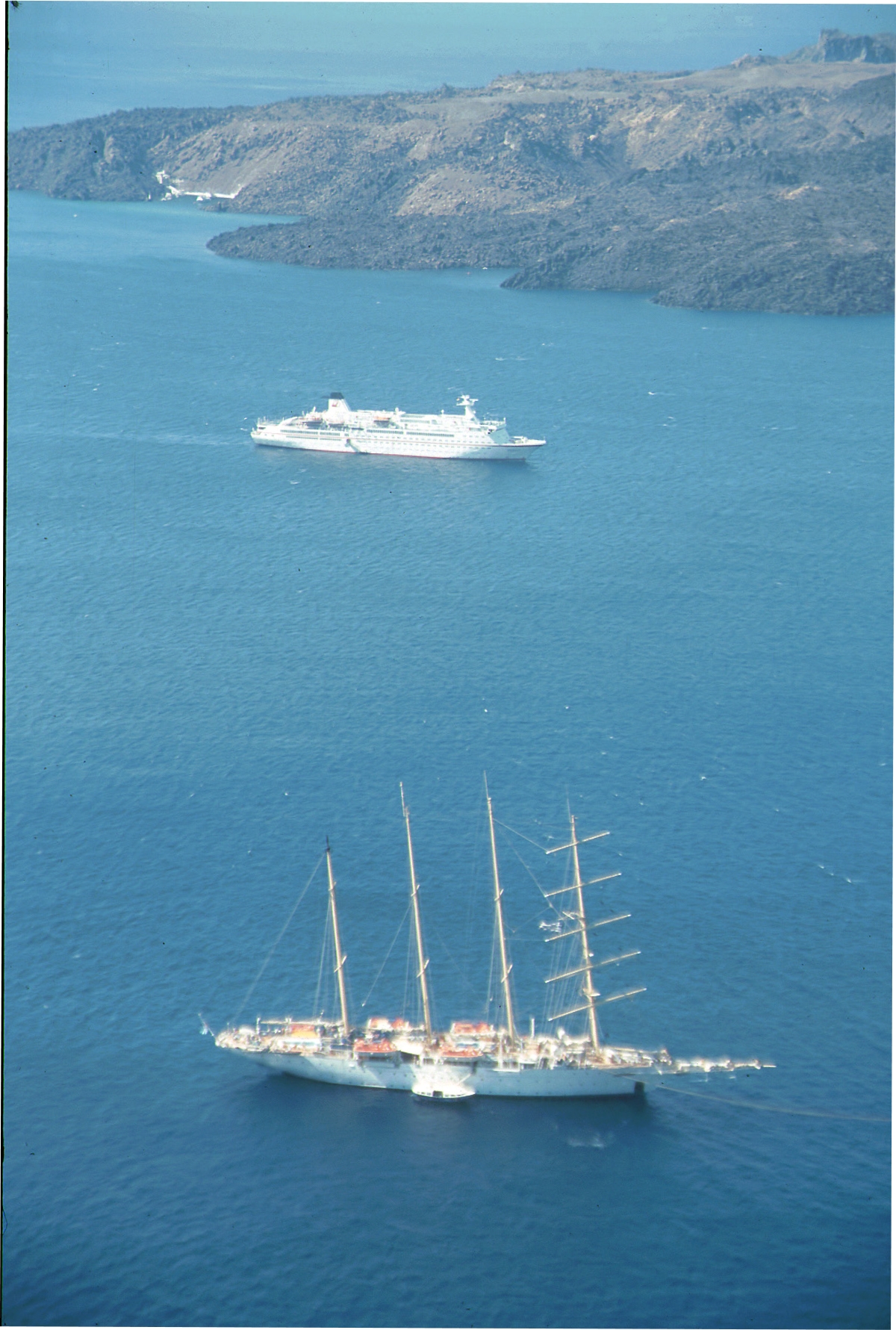
formed two small islands, Nea Kameni and Palea Kameni, near the center of the caldera. A
submarine eruption took place in 1650 AD outside the caldera NE of Thera. The latest eruption
at Santorini produced a small lava dome and flow in 1950, accompanied by explosive activity
and now only fumarolic activity, primarily inside the recently active craters, takes place. GPS
instruments have registered renewed deformation around the caldera in 2011 and 2012.
(GLOBAL VOLCANISM PROGRAM)
Néa Kaméni
Location: 36.404 N, 25.396 E
Elevation: 124 m
Renowned Santorini (Thera), with its steep-walled caldera
rim draped by whitewashed villages overlooking an active
volcanic island in the center of a caldera bay, is one of the
scenic highlights of the Aegean. The circular island group is
composed of overlapping shield volcanoes cut by at least
four partially overlapping calderas. The oldest southern
caldera was formed about 180,000 years before present
(BP), followed by the Skaros caldera about 70,000 years
BP, and then the Cape Riva caldera about 21,000 years BP.
The youngest caldera formed about 3600 years BP during
the Late-Bronze-Age Minoan eruption that forced abandonment of the thriving Aegean Sea
island. The caldera measures about 12 by 7 km, with 300 m high steep cliffs on three sides.
Post-Minoan eruptions beginning in 197 BC constructed a series of lava domes and flows that
formed two small islands, Nea Kameni and Palea Kameni, near the center of the caldera. A
submarine eruption took place in 1650 AD outside the caldera NE of Thera. The latest eruption
at Santorini produced a small lava dome and flow in 1950, accompanied by explosive activity
and now only fumarolic activity, primarily inside the recently active craters, takes place. GPS
instruments have registered renewed deformation around the caldera in 2011 and 2012.
(GLOBAL VOLCANISM PROGRAM)


 HOME
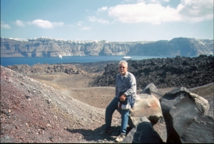
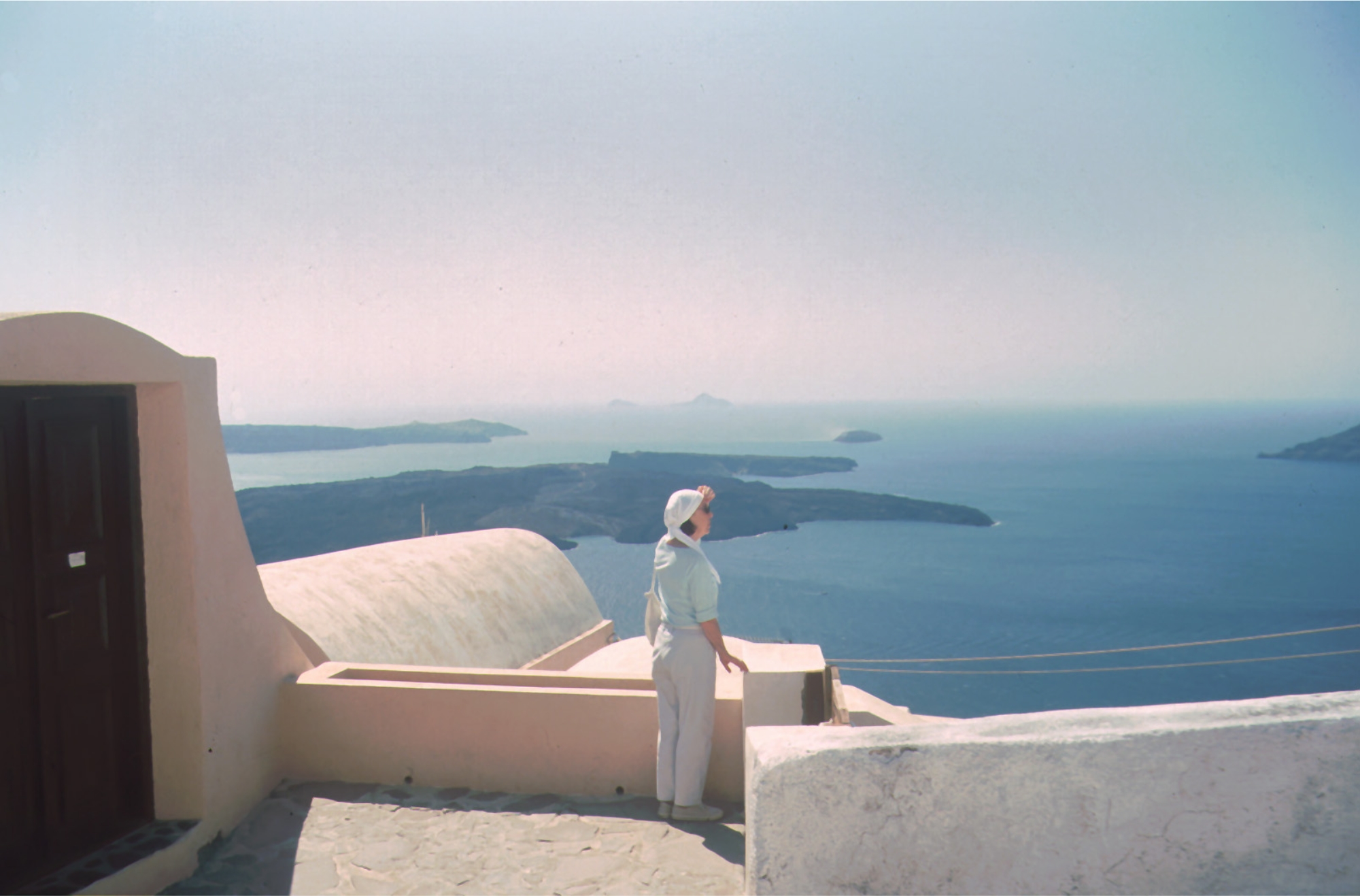
Santorini, Sept. 2000
Aquarell Photos by Rolf Cosar
HOME
Santorini, Sept. 2000
Aquarell Photos by Rolf Cosar

 click on photos to enlarge
 Sept. 2000
Néa Kaméni
Location: 36.404 N, 25.396 E
Elevation: 124 m
Renowned Santorini (Thera), with its steep-walled caldera
rim draped by whitewashed villages overlooking an active
volcanic island in the center of a caldera bay, is one of the
scenic highlights of the Aegean. The circular island group is
composed of overlapping shield volcanoes cut by at least
four partially overlapping calderas. The oldest southern
caldera was formed about 180,000 years before present
(BP), followed by the Skaros caldera about 70,000 years
BP, and then the Cape Riva caldera about 21,000 years BP.
The youngest caldera formed about 3600 years BP during
the Late-Bronze-Age Minoan eruption that forced abandonment of the thriving Aegean Sea
island. The caldera measures about 12 by 7 km, with 300 m high steep cliffs on three sides.
Post-Minoan eruptions beginning in 197 BC constructed a series of lava domes and flows that
formed two small islands, Nea Kameni and Palea Kameni, near the center of the caldera. A
submarine eruption took place in 1650 AD outside the caldera NE of Thera. The latest eruption
at Santorini produced a small lava dome and flow in 1950, accompanied by explosive activity
and now only fumarolic activity, primarily inside the recently active craters, takes place. GPS
instruments have registered renewed deformation around the caldera in 2011 and 2012.
(GLOBAL VOLCANISM PROGRAM)


 HOME
Santorini, Sept. 2000
Aquarell Photos by Rolf Cosar
click on photos to enlarge
HOME
Santorini, Sept. 2000
Aquarell Photos by Rolf Cosar
click on photos to enlarge
 Sept. 2000