


|
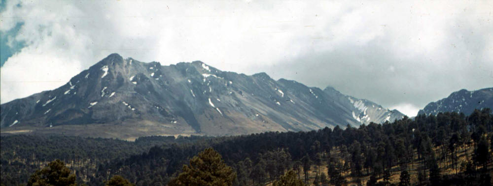
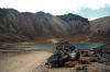
Nevado de Toluca, México's fourth highest peak, rises above the Toluca basin about 80 km west of Mexico City. The broad, complex andesitic-dacitic stratovolcano, also known by the Nahuatl Indian name Xinantécatl, has a 1.5-km-wide summit crater that is open to the east. A large dacitic lava dome in this crater separates two lakes, known as the lakes of the Sun and Moon. At least three major edifice collapses during the Pleistocene produced large debris-avalanche and lahar deposits that affected broad areas below the volcano. Four major explosive eruptions during the late Pleistocene produced widespread ashfall and pyroclastic-flow deposits at about 36,000, 21,700, 12,100, and 10,500 years ago, producing the Ochre and the Lower, Middle, and Upper Toluca Pumice deposits, respectively. Recent work has revealed evidence for at least one Holocene eruption, about 3300 years ago, that produced pyroclastic flows and surges. (Global Volcanism Program)